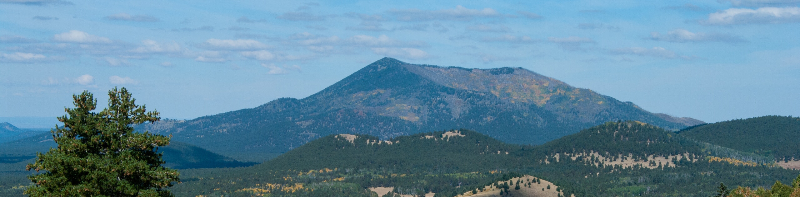
Kendrick Peak Trail
View Photos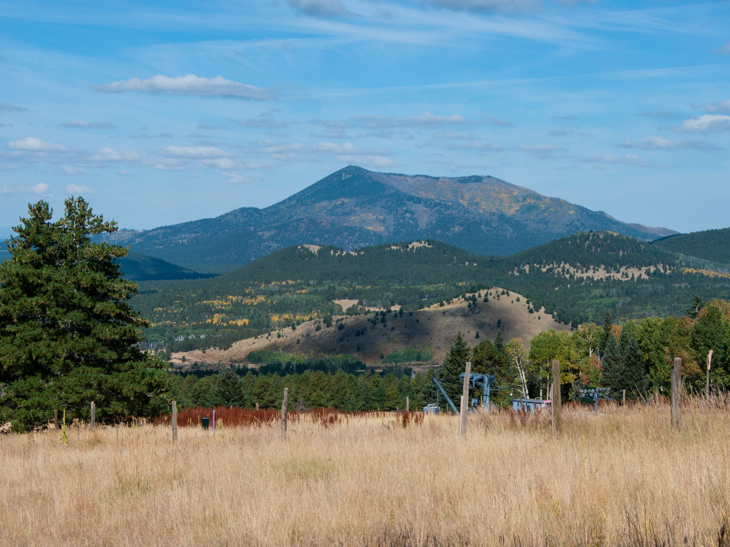
Kendrick Peak Trail
Difficulty Rating:
The Kendrick Peak Trail is a hard hike that leads up to the top of Kendrick Peak. This is a mostly forested trail that sees light to moderate traffic. This route travels through the Kendrick Mountain Wilderness to the top of Kendrick Mountain itself, where the views open up handsomely. This route might be too tough for kids (unless they’re particularly energetic), but dogs are allowed on leash.
Getting there
The trailhead for the Kendrick Peak Trail is on Forest Road 190.

About
| Backcountry Campground | No |
| When to do | March-November |
| Pets allowed | Yes - On Leash |
| Family friendly | No |
| Route Signage | Good |
| Crowd Levels | High |
| Route Type | Out and back |
Kendrick Peak Trail
Elevation Graph
Weather
Kendrick Peak Trail Description
The Kendrick Peak Trail is a hard, rewarding hike in the Kendrick Mountain Wilderness north of Flagstaff, Arizona. This hike is a bit demanding, but the views from your perch atop Kendrick Mountain are definitely worth the effort. Most of the route travels through the forest until you get to the top of the mountain, where you’ll be impressed at how far your sightline extends.
Poles and sturdy boots are recommended for this route, although there isn’t any technical climbing involved, and the route is easy enough to follow that offline navigation shouldn’t be required.
The hike begins from the trailhead on the road. Pass underneath East Newman Hill and then start your switchbacks. You’ll ascend through a short canyon, then up the base of Kendrick Peak from west to east. Once you’re on the ridge, you’ll settle into steep, narrow switchbacks to the top. Take some time to enjoy the views, then retrace your steps to the trailhead to finish your adventure.
Similar hikes to the Kendrick Peak Trail hike

Fay Canyon Loop
Fay Canyon is one of several main canyons in the Walnut Canyon National Monument. This loop hike explores part of…

Sandy Steps, Heart, and Upper Oldham Trail
The Sandy Steps, Heart, and Upper Oldham hike makes use of several different trails to create a hike that stretches…

Fisher Point via Fay Canyon
Fisher Point is one of the best viewpoints into the gorgeous Walnut Canyon. This route leads you to the point…
Comments