Karen Cooper Trail
View Photos
Karen Cooper Trail
Difficulty Rating:
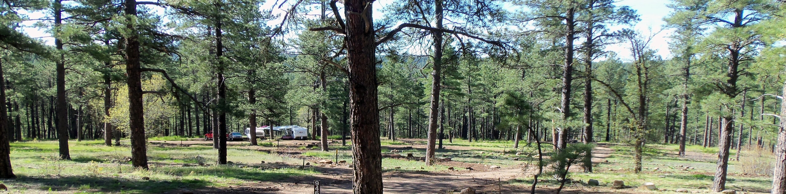
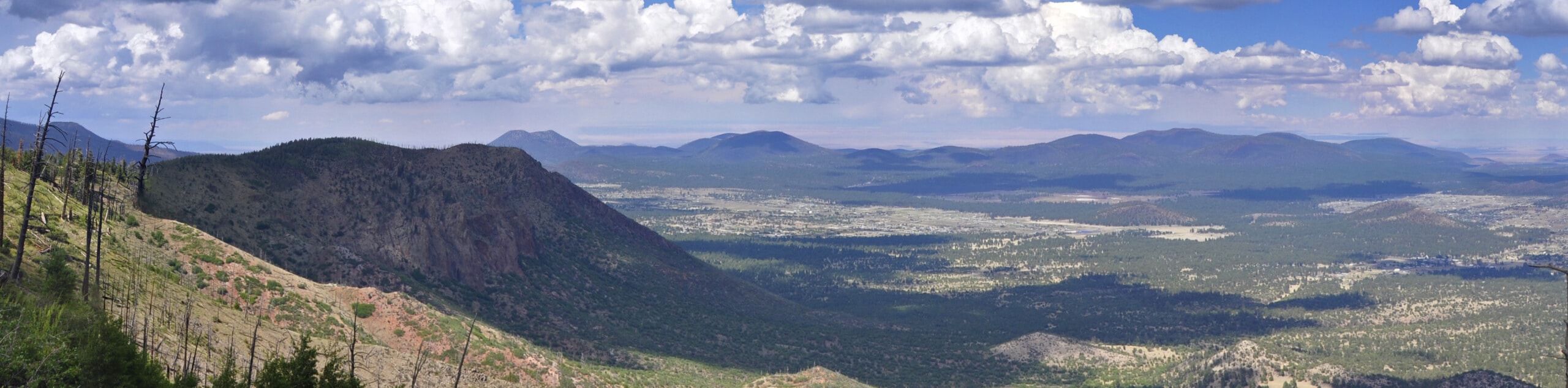
Karen Cooper Trail is a 6.7mi out and back route that follows a well-maintained urban route. This multi-use trail is used by walkers, bikers, runners, strollers, and more. It’s a great way to get some steps in and enjoy nature without having to leave Flagstaff. The route is wide, easy to follow, and mostly flat. Expect moderate traffic on this trail.
Getting there
The trailhead for Karen Cooper Trail is on W Birch Ave.

About
| Backcountry Campground | No |
| When to do | Year-round |
| Pets allowed | Yes - On Leash |
| Family friendly | Yes |
| Route Signage | Good |
| Crowd Levels | Moderate |
| Route Type | Out and back |
Karen Cooper Trail
Elevation Graph
Weather
Karen Cooper Trail Description
Karen Cooper Trail is an urban multi-use trail in Flagstaff, Arizona. The trail can be enjoyed by walkers, dogs on leash, bikers, runners, and strollers. It’s mostly flat and wide and tends to be well-maintained. This route travels through several different neighborhoods, so you can access it anywhere along its length.
Since this is a multi-use pathway, remember to share the trail and move over for one another. Keep dogs on leash and close by as bikers will likely be passing you. Be careful in winter, parts of the trail can become icy or muddy.
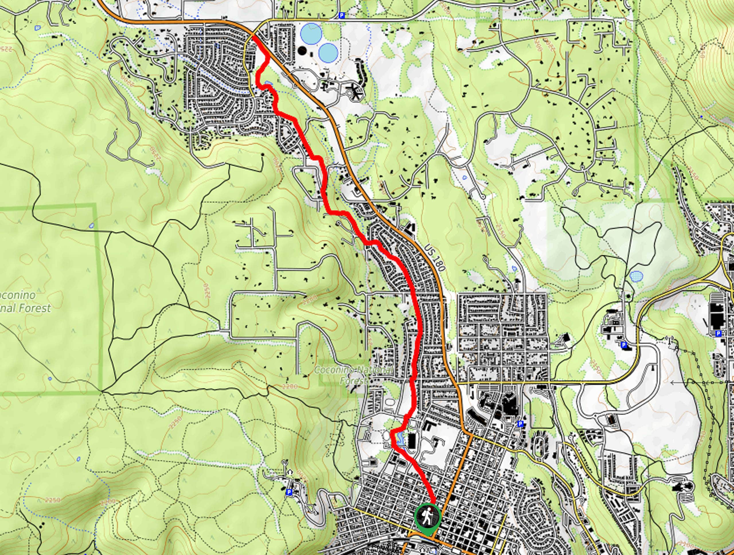
From the trailhead near Wheeler Park, the route follows the Rio de Flag up into Rock Ridge Estates. It continues north through Coconino Estates and then hugs the base of Observatory Mesa through Anasazi Ridge. The route ends at N Fort Valley Road just past the Museum of Northern Arizona. From here, turn back and retrace your steps.
Similar hikes to the Karen Cooper Trail hike

Fay Canyon Loop
Fay Canyon is one of several main canyons in the Walnut Canyon National Monument. This loop hike explores part of…
Pumphouse Nature Trail
Pumphouse Nature Trail is a short and pleasant walk in Kachina Village, Arizona. This route is only 1.1mi…
Doney Mountain Trail
Doney Mountain Trail is a short hike in the far northeastern corner of Sunset Crater Volcano National Monument. This route…
Comments