Sparky's Pond via Lower Brookbank Trail
View Photos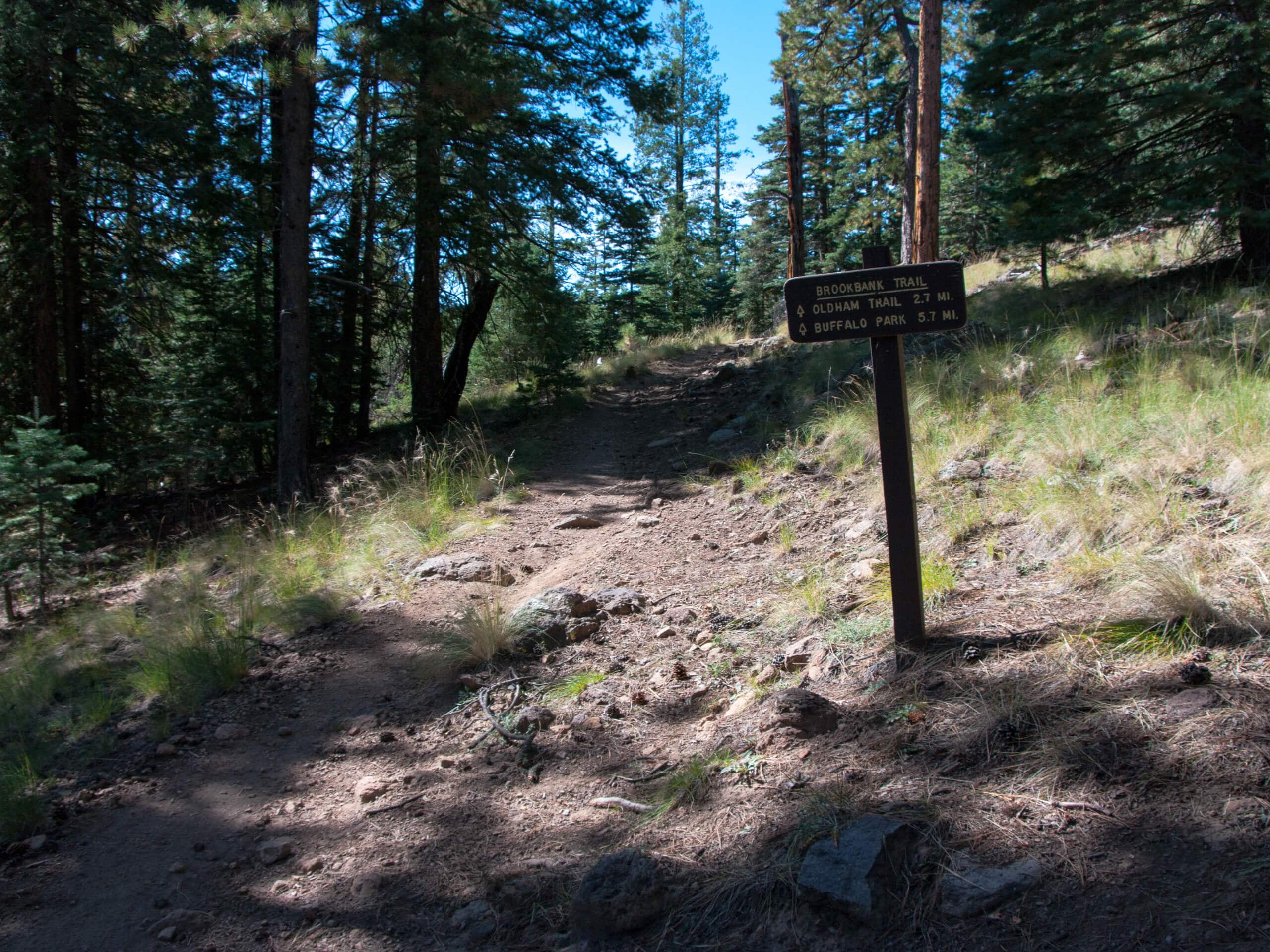
Sparky's Pond via Lower Brookbank Trail
Difficulty Rating:
Sparky’s Pond in the Dry Lake Hills is often accessed from the Schultz Creek side of the hill, but taking the Brookbank Trail makes for a more exciting trek. This route is a bit rockier and is more challenging, but it’s also quieter. The route is rated as moderate, but since it requires some climbing over large boulders, we don’t recommend it for children. Expect light traffic on this trail.
Getting there
The trailhead for Sparky's Pond via Lower Brookbank Trail is on Elden Lookout Road.

About
| Backcountry Campground | No |
| When to do | March-November |
| Pets allowed | Yes - On Leash |
| Family friendly | No |
| Route Signage | Average |
| Crowd Levels | Low |
| Route Type | Out and back |
Sparky's Pond via Lower Brookbank Trail
Elevation Graph
Weather
Sparky's Pond via Lower Brookbank Trail Description
Sparky’s Pond via Lower Brookbank Trail is one of the quieter hikes in the Dry Lake Hills. The usual approach to this pond is from the north, but this route begins near the base of T V Hill and climbs up from the south. This route sees less traffic and is a bit more exciting, with some light scrambling over large boulders required. We don’t recommend this route for children or total beginners.
Since this trail is quite rocky, we recommend sturdy boots and poles if you have them. This trail is subject to washout from flooding, so hike with care, especially if it’s rained recently.
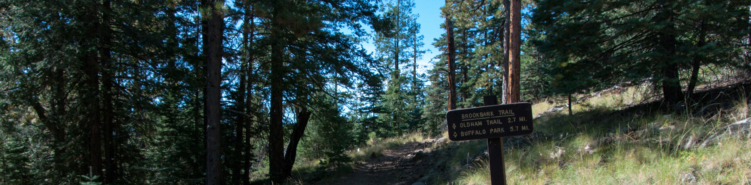
From the trailhead, you’ll take Elden Lookout Road to the fork. Stay left here onto Brookbank Trail and hike through two wide switchbacks before traversing northwest to crest the hill that the pond is on. Take some time to enjoy the view, then head back to the trailhead on the same route.
Similar hikes to the Sparky's Pond via Lower Brookbank Trail hike

Fay Canyon Loop
Fay Canyon is one of several main canyons in the Walnut Canyon National Monument. This loop hike explores part of…

Sandy Steps, Heart, and Upper Oldham Trail
The Sandy Steps, Heart, and Upper Oldham hike makes use of several different trails to create a hike that stretches…

Fisher Point via Fay Canyon
Fisher Point is one of the best viewpoints into the gorgeous Walnut Canyon. This route leads you to the point…
Comments