Schultz Creek Downhill Trail
View Photos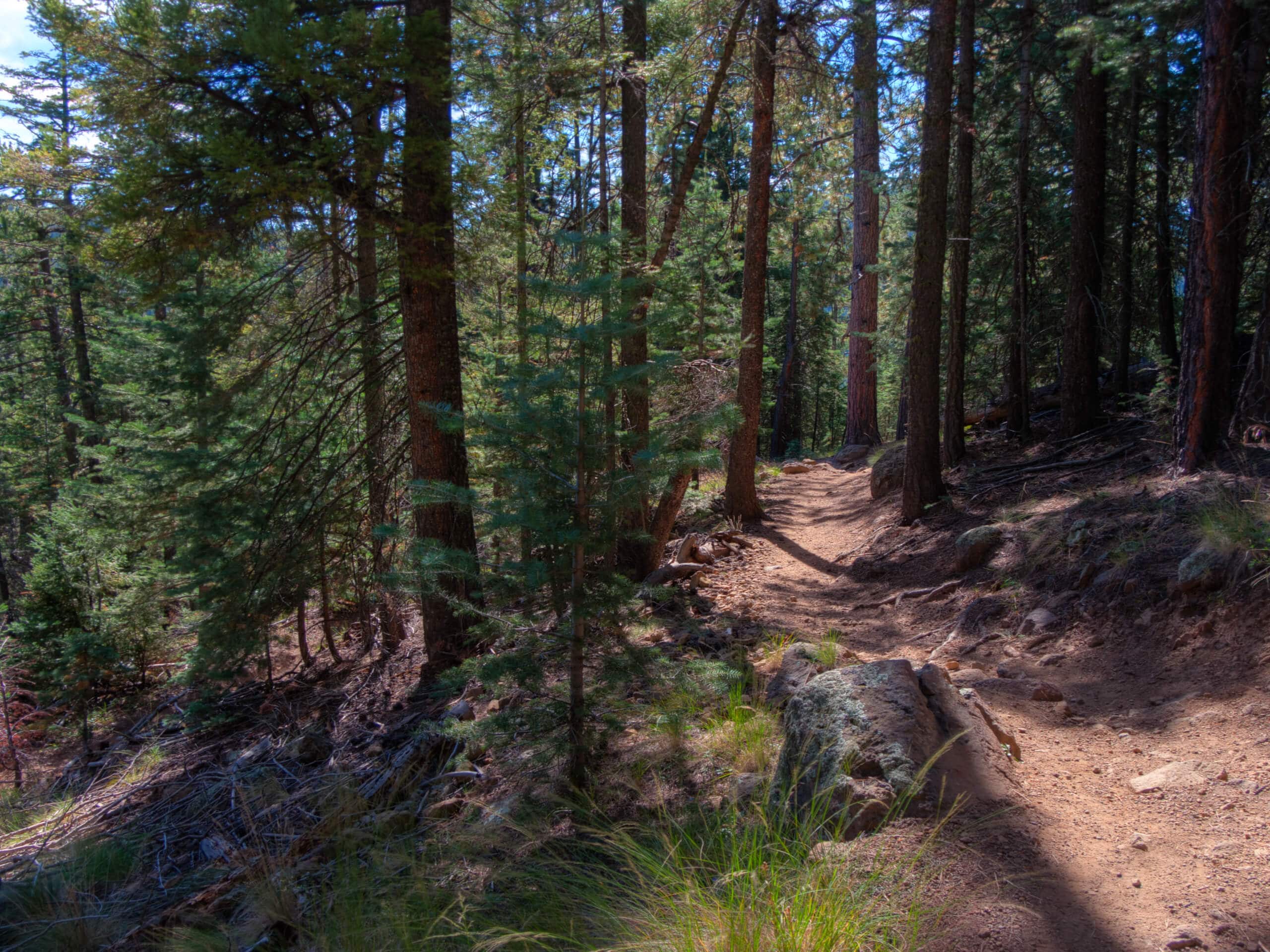
Schultz Creek Downhill Trail
Difficulty Rating:
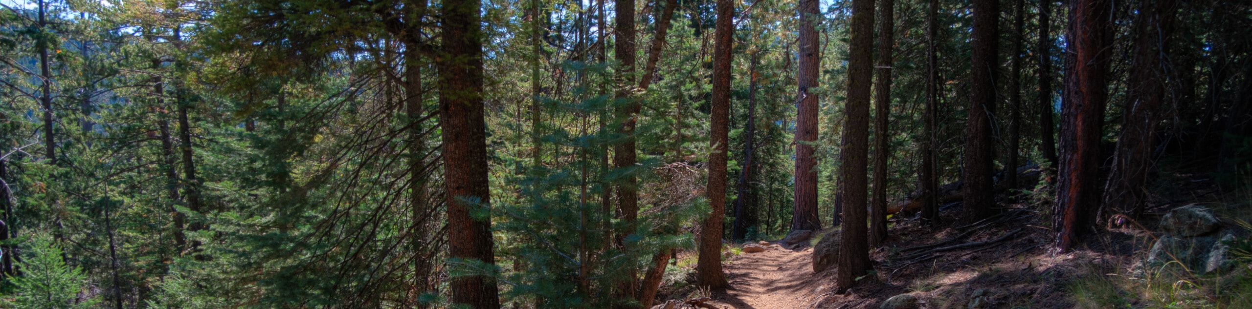
The Schultz Creek Downhill Trail is a route that hugs Flagstaff’s Dry Lake Hills, a popular hiking and mountain biking area just outside the bounds of the city. This trail is multi-use, so hikers can expect to see mountain bikers and vice versa. The route is undulating and forested with wildflowers in the summertime. Expect light traffic.
Getting there
One of the trailheads for the Schultz Creek Downhill Trail is off E Mount Elden Lookout Road and the other is off Sunset Trailhead Road.

About
| Backcountry Campground | No |
| When to do | March-October |
| Pets allowed | Yes - On Leash |
| Family friendly | Yes |
| Route Signage | Average |
| Crowd Levels | Low |
| Route Type | One Way |
Schultz Creek Downhill Trail
Elevation Graph
Weather
Schultz Creek Downhill Trail Description
The Schultz Creek Downhill Trail is a mountain biking and hiking trail in the Dry Lake Hills of Flagstaff. This route gradually undulates but loses net elevation, so it’s rated as moderate. While most of the traffic on this hike is mountain bikes, hikers are welcome. Share the trail with one another.
This is a point-to-point hike, but if you don’t mind double the distance, you can hike it as an out and back instead to avoid needing a car shuttle. Note that the roads to the trailheads are subject to seasonal closure, so try to plan your hike for spring through fall.
From the northern trailhead, take Schultz Creek Trail towards the creek, then follow it as it snakes along the curve of the river and Schultz Pass Road. The trail travels through this ravine right next to the creek for the duration of the hike, so you won’t need to worry about any navigation. The route ends at the trailhead off Mount Elden Lookout Road. If you’ve arranged car shuttles, head on to your next adventure. If not, turn around and retrace your steps.
Similar hikes to the Schultz Creek Downhill Trail hike

Fay Canyon Loop
Fay Canyon is one of several main canyons in the Walnut Canyon National Monument. This loop hike explores part of…

Sandy Steps, Heart, and Upper Oldham Trail
The Sandy Steps, Heart, and Upper Oldham hike makes use of several different trails to create a hike that stretches…

Fisher Point via Fay Canyon
Fisher Point is one of the best viewpoints into the gorgeous Walnut Canyon. This route leads you to the point…
Comments