Whiteswan North Shore Trail Loop
View Photos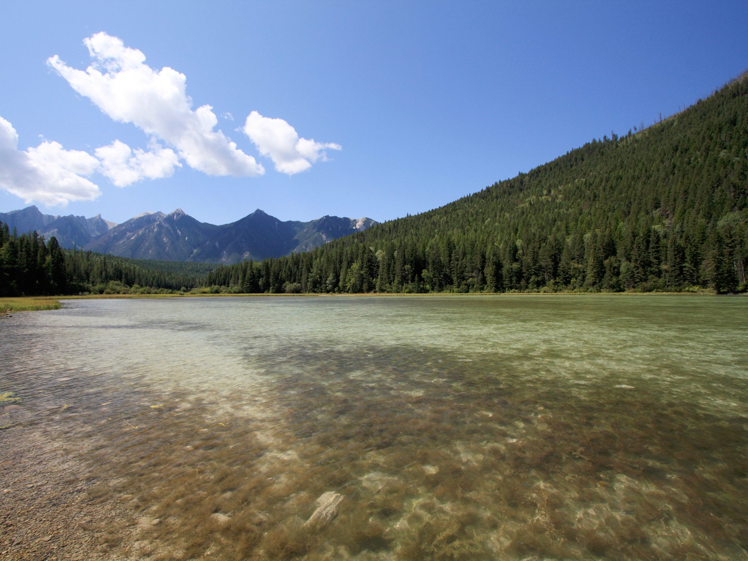
Whiteswan North Shore Trail Loop
Difficulty Rating:
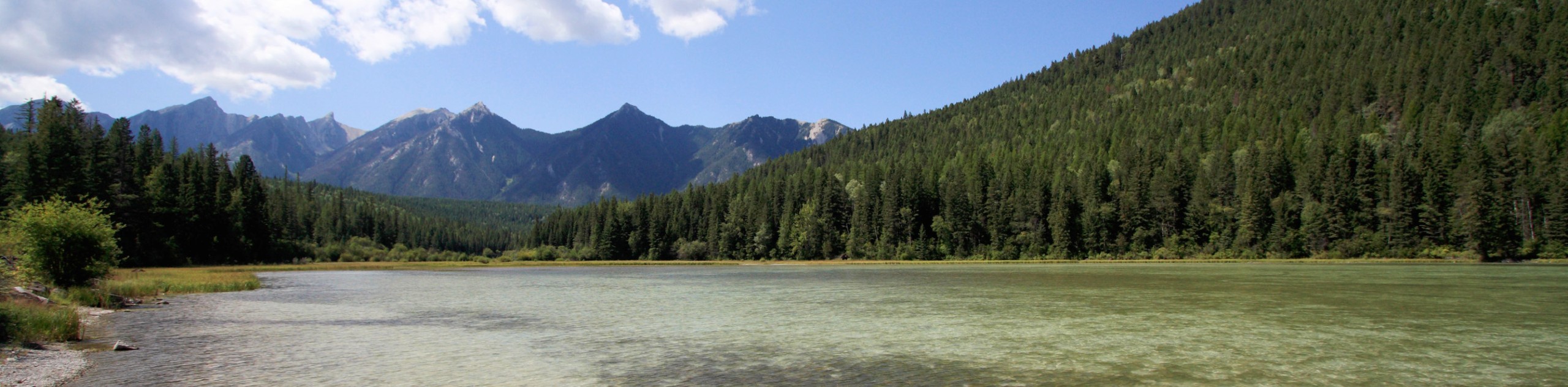
The Whiteswan North Shore Trail Loop is a long but amazingly scenic hiking circuit that will allow you to experience the natural beauty of Whiteswan Lake Provincial Park by hiking along the shoreline of the lake. This 12.4mi loop will take you from the edge of Alice Lake on a route to the northeast that passes through the forest and features a sightline across the lake with the amazing mountainous scenery in the backdrop. Hikers should keep in mind that while dogs are allowed in the park, they are not allowed in the beach areas around the lake.
Getting there
To get to the Whiteswan North Shore Trail Loop from Canal Flats, drive southeast on BC-93 for 2.9mi and turn left onto Whiteswan Lake FSR. Continue on for 13.0mi and turn left to enter the Alice Lake Campground, where you will find parking and the trailhead.

About
| When to do | May-October |
| Backcountry Campsites | Alice Lake, Packrat Point, Cave Creek, Inlet Creek, Home Basin |
| Pets allowed | Yes - On Leash |
| Family friendly | Older Children only |
| Route Signage | Average |
| Crowd Levels | Moderate |
| Route Type | Circuit |
Whiteswan North Shore Trail Loop
Elevation Graph
Weather
Whiteswan North Shore Trail Description
When planning to hike the Whiteswan North Shore Trail Loop, you should keep in mind that the trail may be long, but it is not overly technical or difficult. If you are looking to experience the amazing sights that this trail has to offer, you can always consider partially hiking the loop or camping for the weekend at one of the five campgrounds along the trail in order fully experience the beauty of the park.
Setting out from Alice Lake, the trailhead is to the northeast and works around along the eastern shore of Whiteswan Lake. You will have a nice view of Flett Peak straight ahead across the blue expanse of the water as you make your way to the northern edge of the lake. After reaching the northernmost part of the trail, head south along the west bank of the lake, enjoying the views of Shark Tooth Mountain in the distance as you make your way through the serene forest atmosphere to eventually end up back at the trailhead where you began your journey.
Similar hikes to the Whiteswan North Shore Trail Loop hike

Spirit Trail Loop
The Spirit Trail Loop is a 10.1mi hiking circuit in the East Side Columbia Lake Wildlife Management Area,…

Mount Stevens and Teepee Mountain
The trek to Mount Stevens and Teepee Mountain is a steep 8.4mi out-and-back hiking route east of Wasa,…

Ram Creek Hot Springs
Hiking to the Ram Creek Hot Springs will take you on an 6.9mi out-and-back trail that runs along…
Comments