
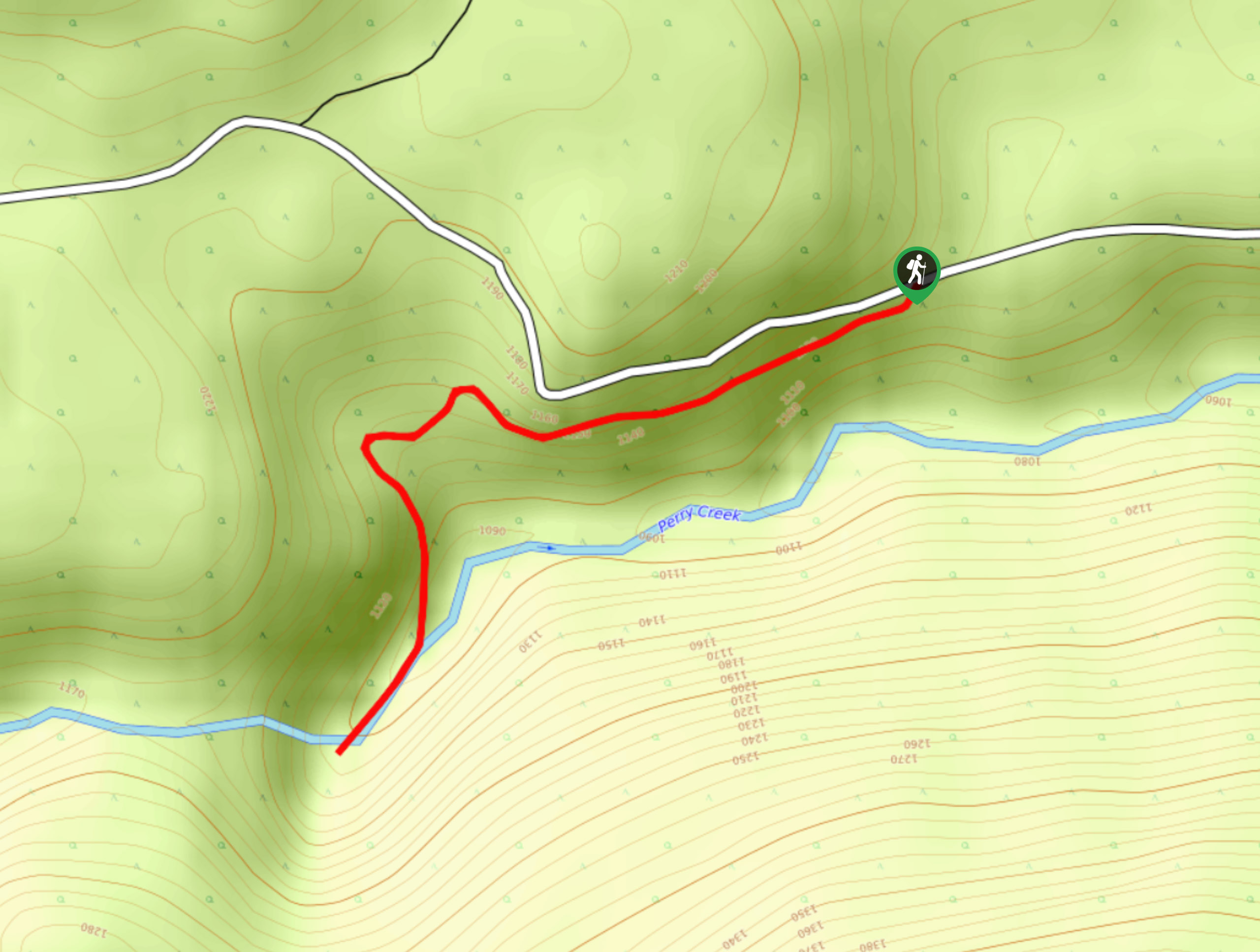
Perry Creek Trail
View Photos
Perry Creek Trail
Difficulty Rating:
The Perry Creek Trail is a 1.5mi out-and-back hiking route near Cranbrook, BC, that will take you through the forest to visit a vantage point overlooking a waterfall. Along the trail, you will experience a peaceful forest atmosphere as you hike alongside the creek towards the powerful rushing water of the falls. Timing your hike for the spring will make the falls even more impressive with the higher water levels; however, the trail can sometimes become washed out, making travel difficult.
Getting there
To reach the parking area for the Perry Creek Trail from Cranbrook, drive northwest on King Street for 3.1mi and continue straight onto Wycliffe Road. After 4.2mi, turn left on Perry Creek Road and follow it for 3.4mi. Make a slight right on Perry Creek FSR and take the first left to stay on the road. After 2.5mi, you will find the trailhead on the left.

About
| When to do | April-October |
| Backcountry Campsites | No |
| Pets allowed | Yes - On Leash |
| Family friendly | Yes |
| Route Signage | Average |
| Crowd Levels | Low |
| Route Type | Out and back |
Perry Creek Trail
Elevation Graph
Weather
Perry Creek Trail Description
Hiking the Perry Creek Trail is a fun experience in the vast forests northwest of Cranbrook that will take you right up to the edge of a roaring waterfall. While the route is easy, its proximity to the creek can often see the trail become washed out or frozen over with ice, so make sure to wear proper hiking footwear and bring microspikes, depending on the time of year.
The trail sets out from the side of the road and enters into the dense forest. As you hike through the tranquil woodland atmosphere, you will cross over a log bridge and eventually arrive at the edge of a gushing waterfall. Take some time to appreciate the power of the flowing water over the magnificent rock formation of the falls before heading back along the same route to return to the trailhead.
Similar hikes to the Perry Creek Trail hike

Spirit Trail Loop
The Spirit Trail Loop is a 10.1mi hiking circuit in the East Side Columbia Lake Wildlife Management Area,…

Ram Creek Hot Springs
Hiking to the Ram Creek Hot Springs will take you on an 6.9mi out-and-back trail that runs along…
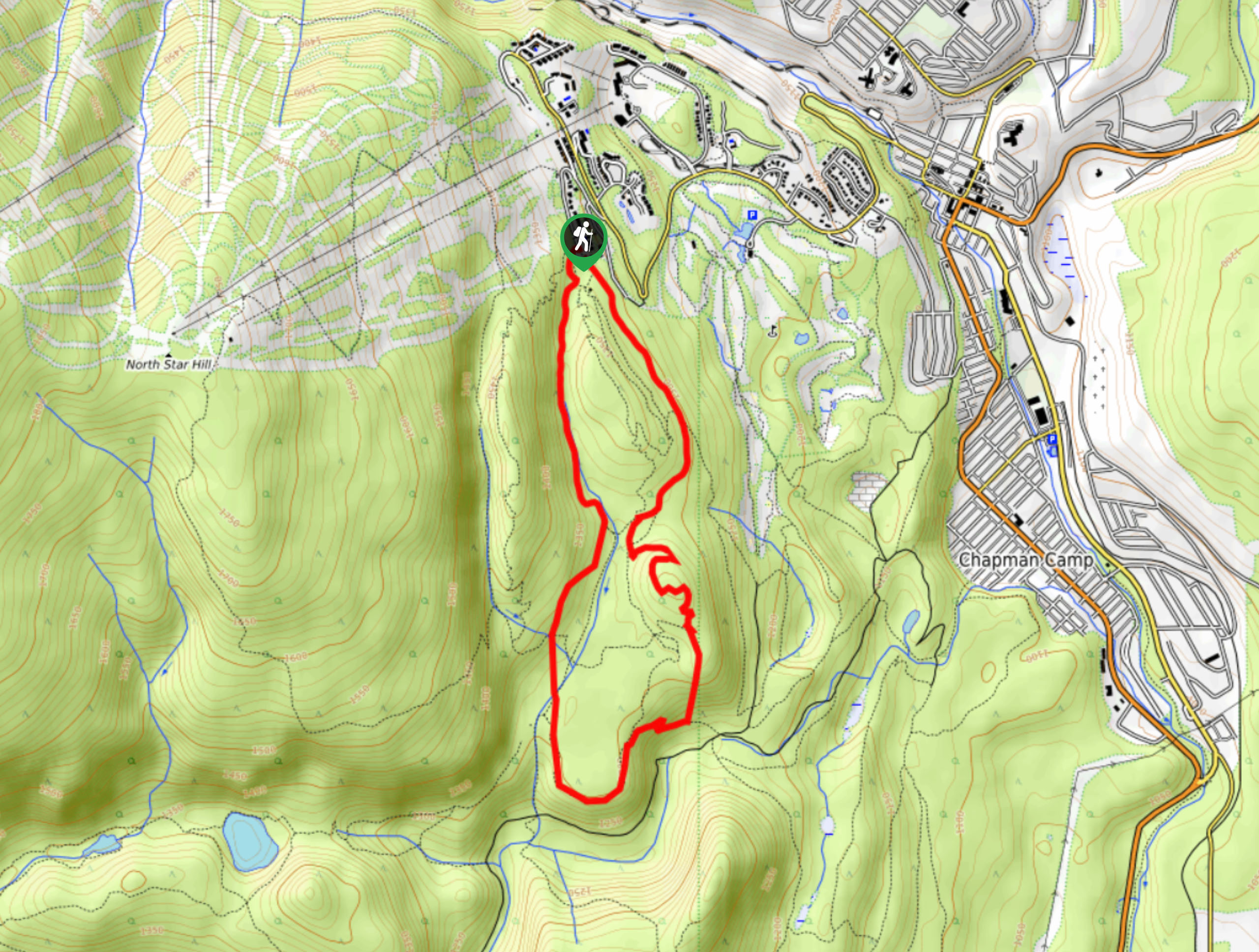
Kimberley Nordic Centre Trail
The Kimberley Nordic Centre Trail is an 5.2mi hiking circuit in Kimberley, BC, that will take you through…
Comments