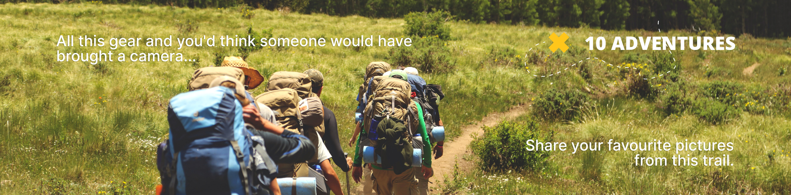
Cranbrook Roller Coaster
View Photos
Cranbrook Roller Coaster
Difficulty Rating:
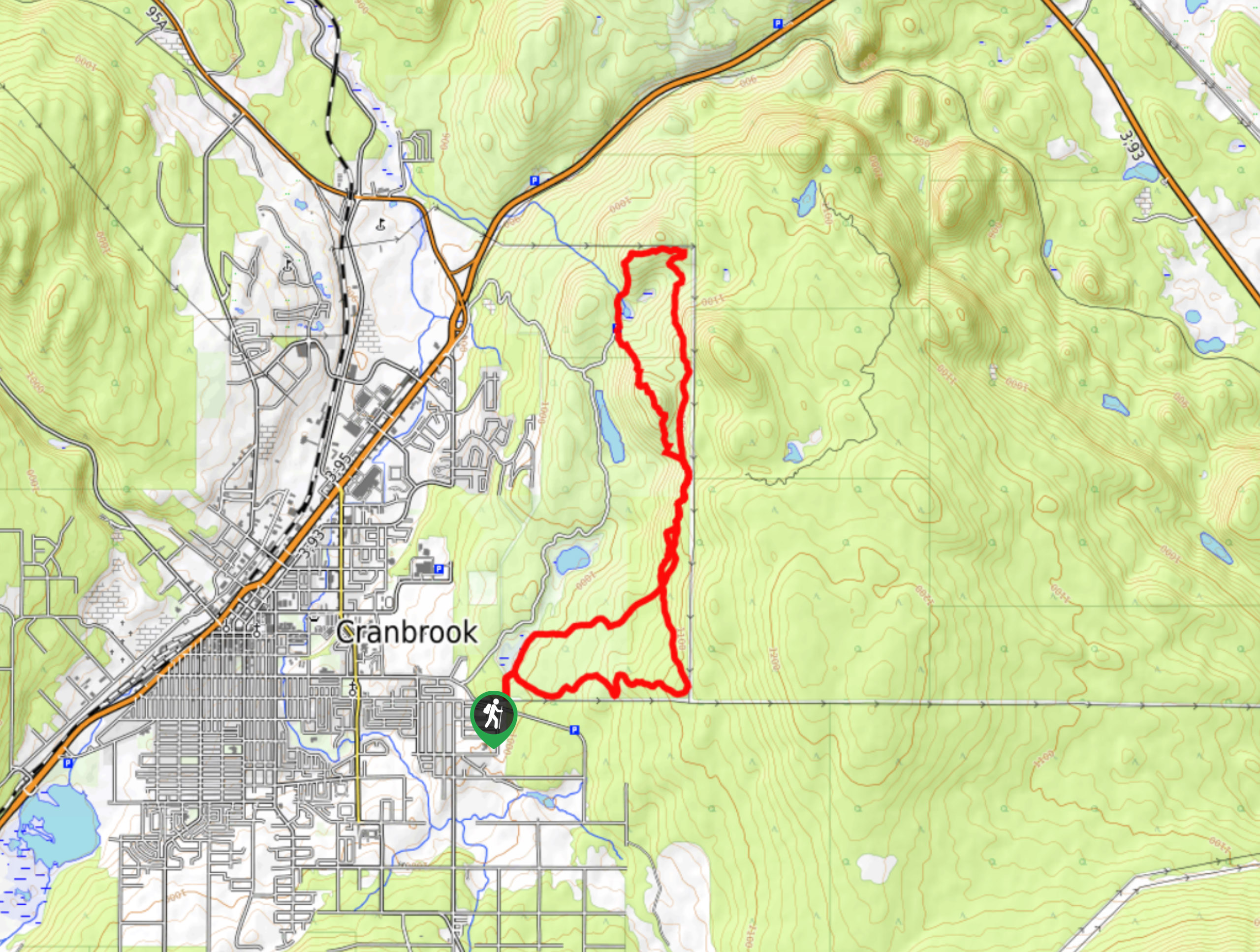
The Cranbrook Roller Coaster is a 9.0mi lollipop hiking route that traverses the undulating terrain to the east of the city and provides some nice views looking out across the valley. Hikers along the trail will experience various terrain types, including rolling meadows, tranquil forest, and rocky pathways. This multi-use route is also popular with mountain bikers, so keep your eyes peeled and allow any cyclists to safely pass you along the trail.
Getting there
To get to the parking area for the Cranbrook Roller Coaster from highway BC-95 in Cranbrook, head east on 2nd Street S for 2.1mi and turn left to enter the parking area.

About
| When to do | March-November |
| Backcountry Campsites | No |
| Pets allowed | Yes |
| Family friendly | Older Children only |
| Route Signage | Average |
| Crowd Levels | Low |
| Route Type | Lollipop |
Cranbrook Roller Coaster
Elevation Graph
Weather
Cranbrook Roller Coaster Trail Description
The Cranbrook Roller Coaster Trail is just as its name advertises; an adventurous hike along a series of ascents and descents that will make you feel as though you are hiking in an amusement park. Along this fun route, you will experience a variety of terrain with some breathtaking views overlooking Cranbrook and the surrounding valley landscape. This is a great day-hike that you won’t want to miss out on.
The trail sets out from the parking area and passes by the First Alkali Pond before continuing past the calm waters of Sylvan Lake and through the dense forest. From here, the trail will head north into the Cranbrook Community Forest Recreation Site along a rockier inclined route. From the top of the trail, hikers will be able to take in stunning views over the city, valley, and surrounding mountains before once again descending into the forest. As you make your way back through the wonderfully atmospheric forest, you will eventually arrive at the trailhead where you began your journey.
Similar hikes to the Cranbrook Roller Coaster hike

Spirit Trail Loop
The Spirit Trail Loop is a 10.1mi hiking circuit in the East Side Columbia Lake Wildlife Management Area,…

Mount Stevens and Teepee Mountain
The trek to Mount Stevens and Teepee Mountain is a steep 8.4mi out-and-back hiking route east of Wasa,…

Ram Creek Hot Springs
Hiking to the Ram Creek Hot Springs will take you on an 6.9mi out-and-back trail that runs along…
Comments