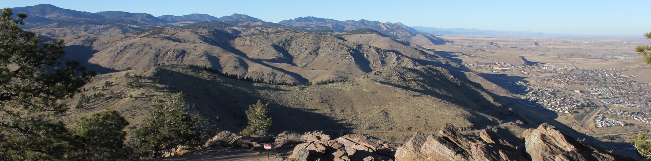
Mount Bierstadt Hike
View Photos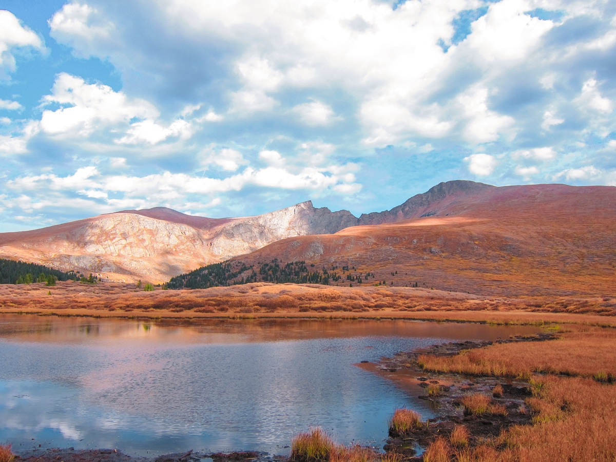

Mount Bierstadt Hike
Difficulty Rating:
The Mount Bierstadt hike is a popular trail and a great introduction to hiking a Colorado 14er. If you are hiking in the early or late part of the season be sure to be ready for some snow and ice as you hike this spectacular Colorado peak!
Getting there
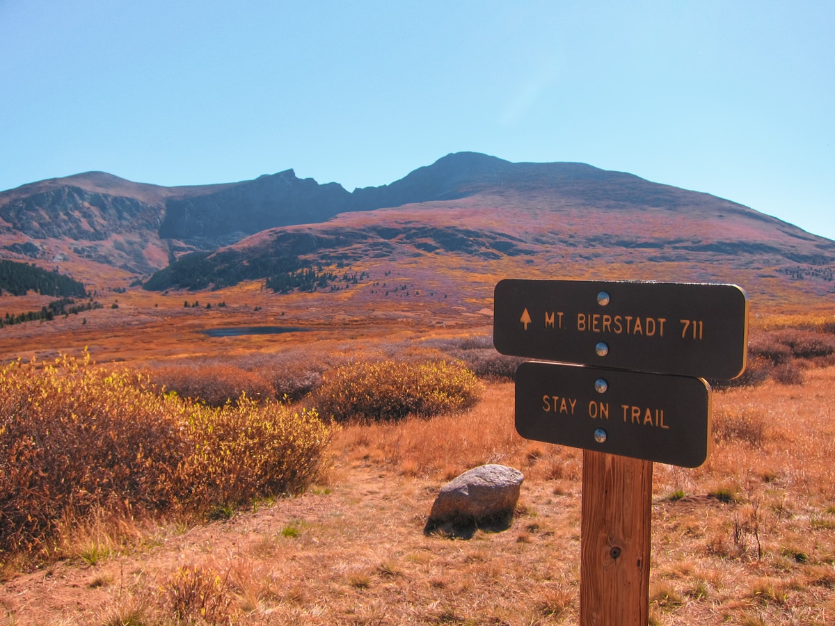
To get to the Mount Bierstadt trailhead from Denver, take I-70 west towards Georgetown, until you reach exit 228. Turn left onto 15th St. into the traffic circle. Take the 1st exit onto the Argentine St. Drive through Georgetown, making your way to Guanella Pass Rd. Take the Guanella Pass Scenic Byway and drive approx. 13.0mi to the Guanella Pass Trailhead.

About
| When to do | April to November |
| Backcountry Campsites | No camping is allowed on Mount Bierstadt |
| Toilets | Yes, primitive pit toilet |
| Pets allowed | Yes - On Leash |
| Family friendly | No |
| Route Signage | Good |
| Crowd Levels | Low |
| Route Type | Out and back |
Mount Bierstadt Hike
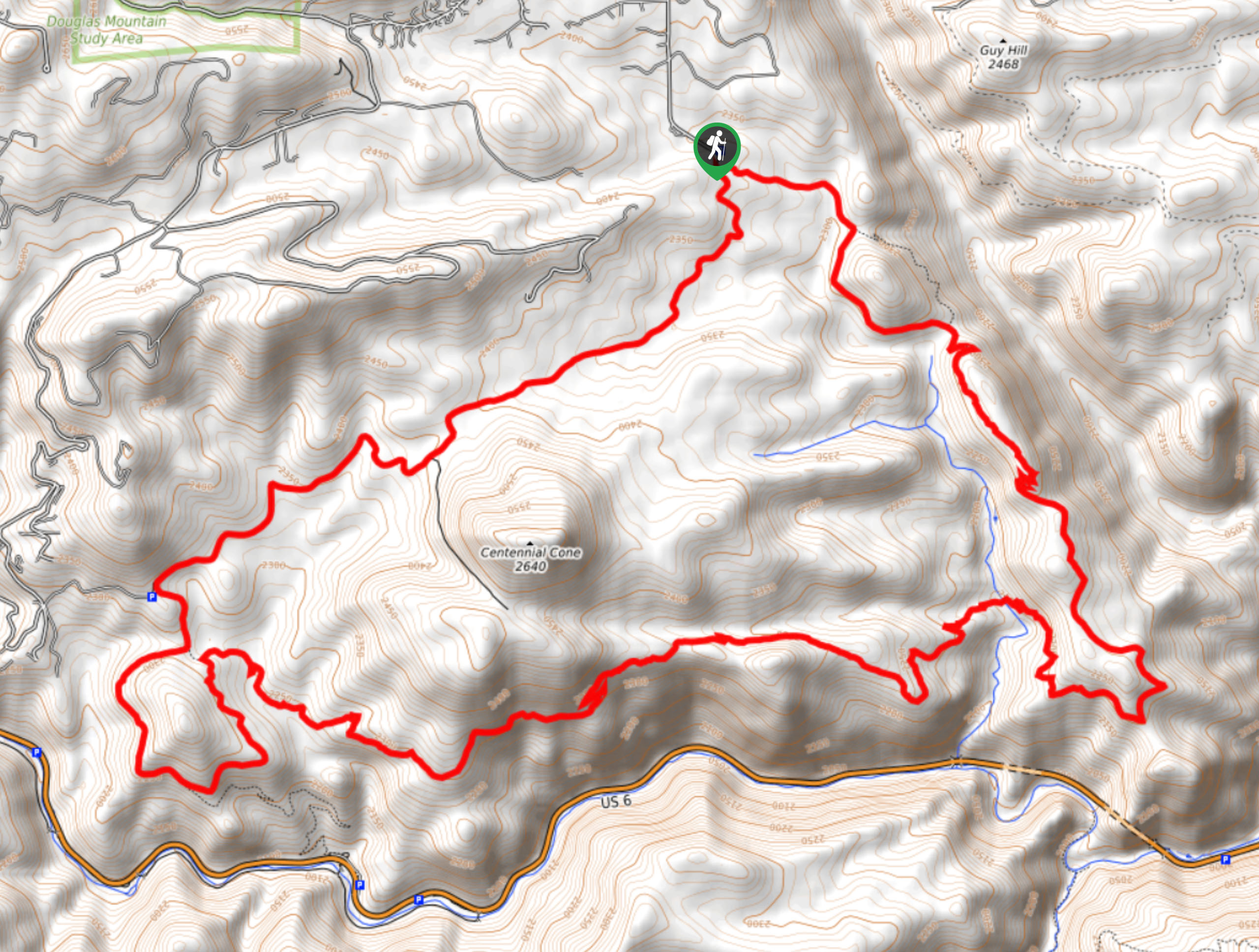
Elevation Graph
Weather
Mount Bierstadt Trail Description
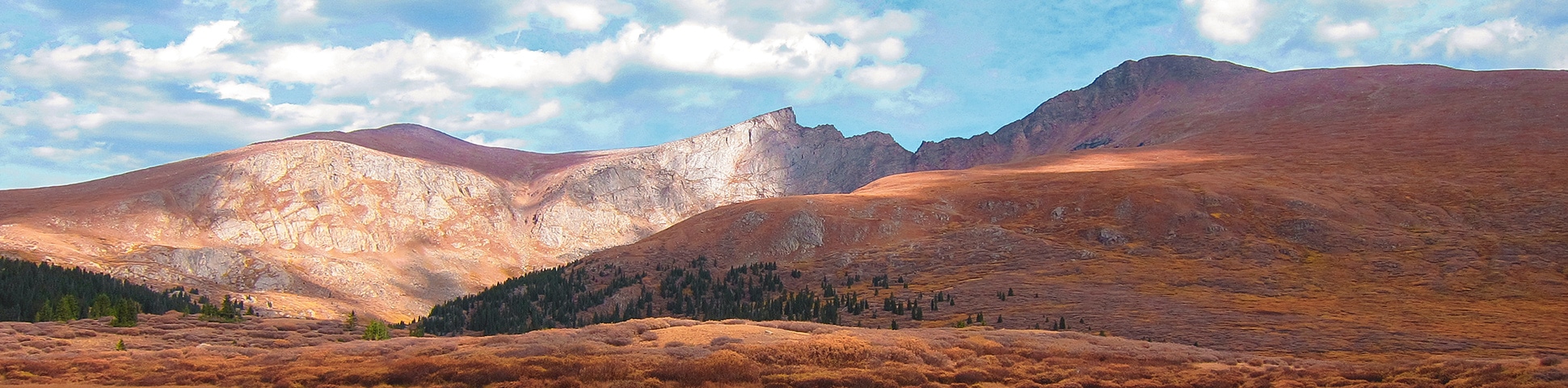
The Mount Bierstadt hike might be the best introduction to a Colorado 14er. This popular mountain is an easy drive from Denver. Starting the hike at the Guanella Pass Trailhead, the most popular route up the mountain is via the West Slopes.
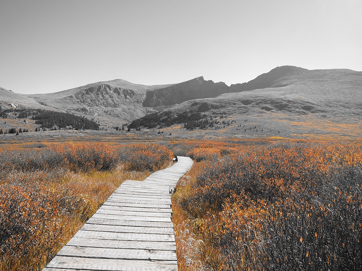
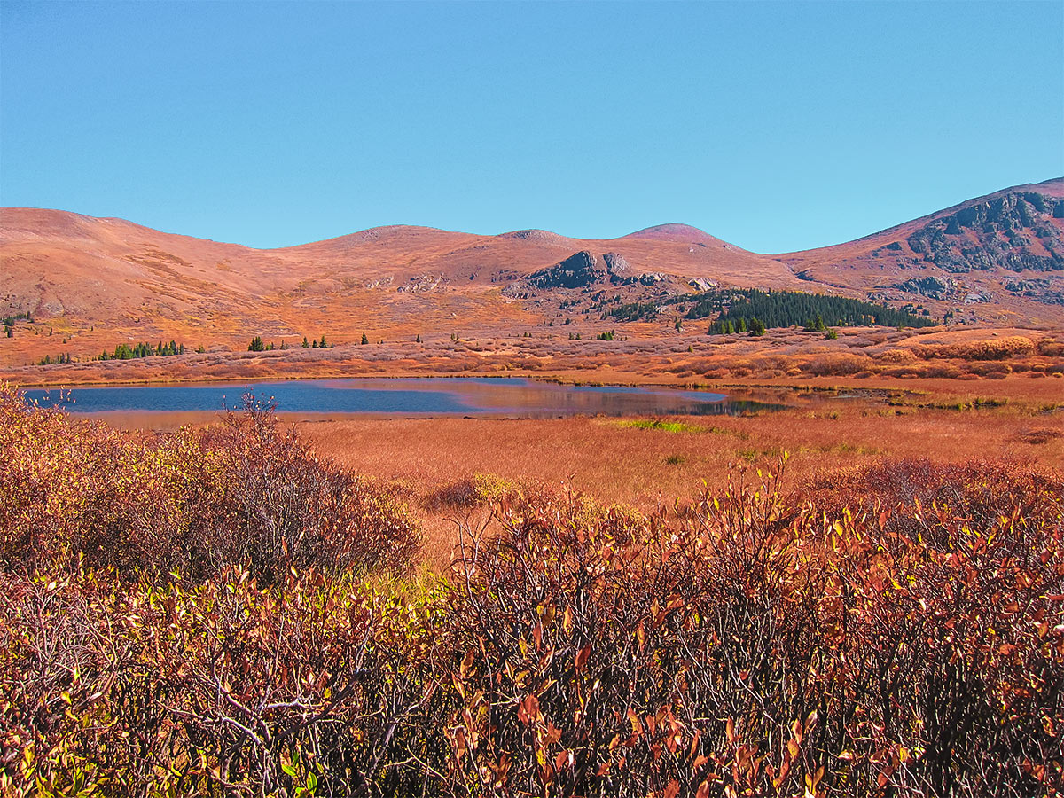
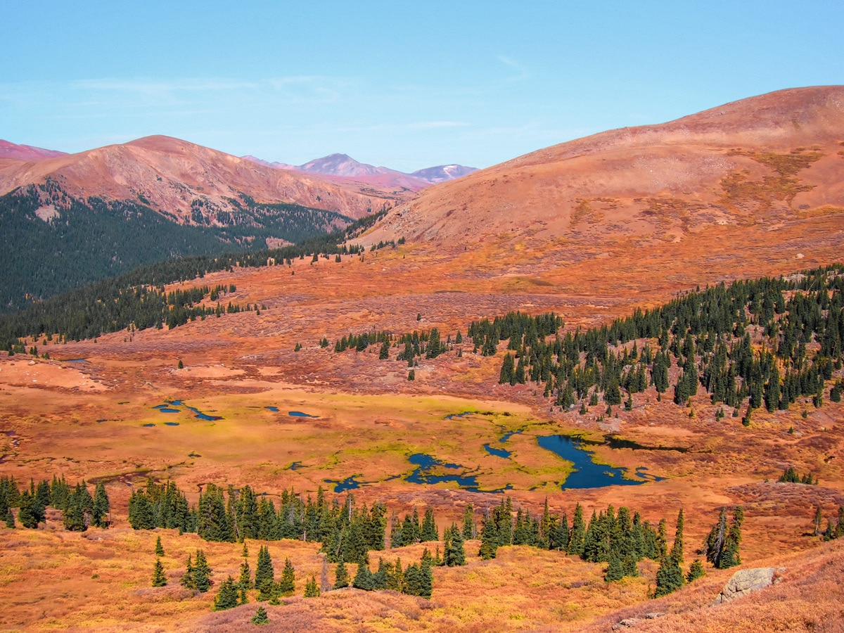
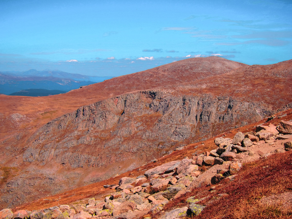
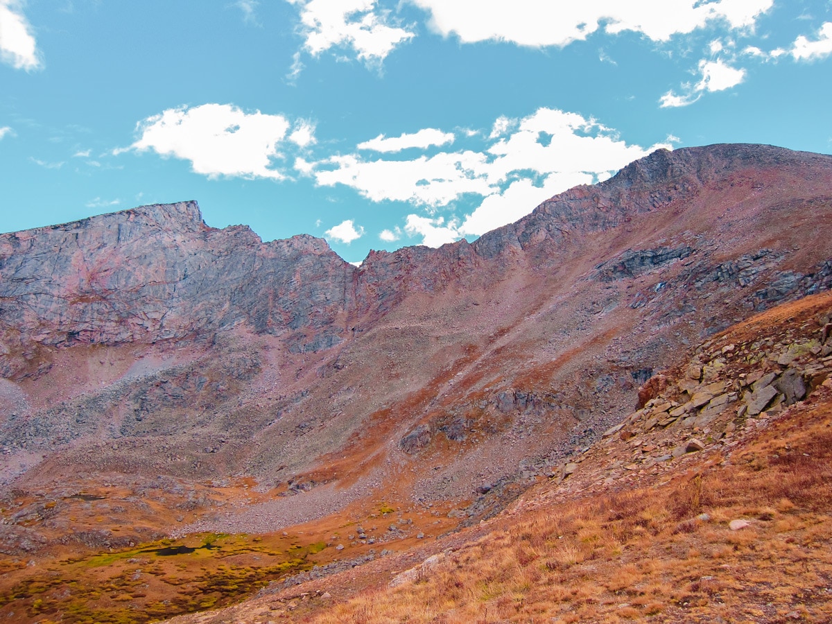
Follow the Mount Bierstadt Trail along a flat marshy alpine meadow and across wooden bridges to the base of Mount Bierstadt, which is directly ahead of you. The start of the trail descends from the Guanella Pass trailhead toward Scott Gomer Creek, weaving through willow trees on wooden bridges and well-marked trails. An impressive view of the Sawtooth Ridge will be visible to the left of Mount Bierstadt. Cross the creek and pass away from the willow trees, beginning the ascent of Mount Bierstadt itself. As the trail climbs in elevation, the trail switches back across the west slope of the mountain.
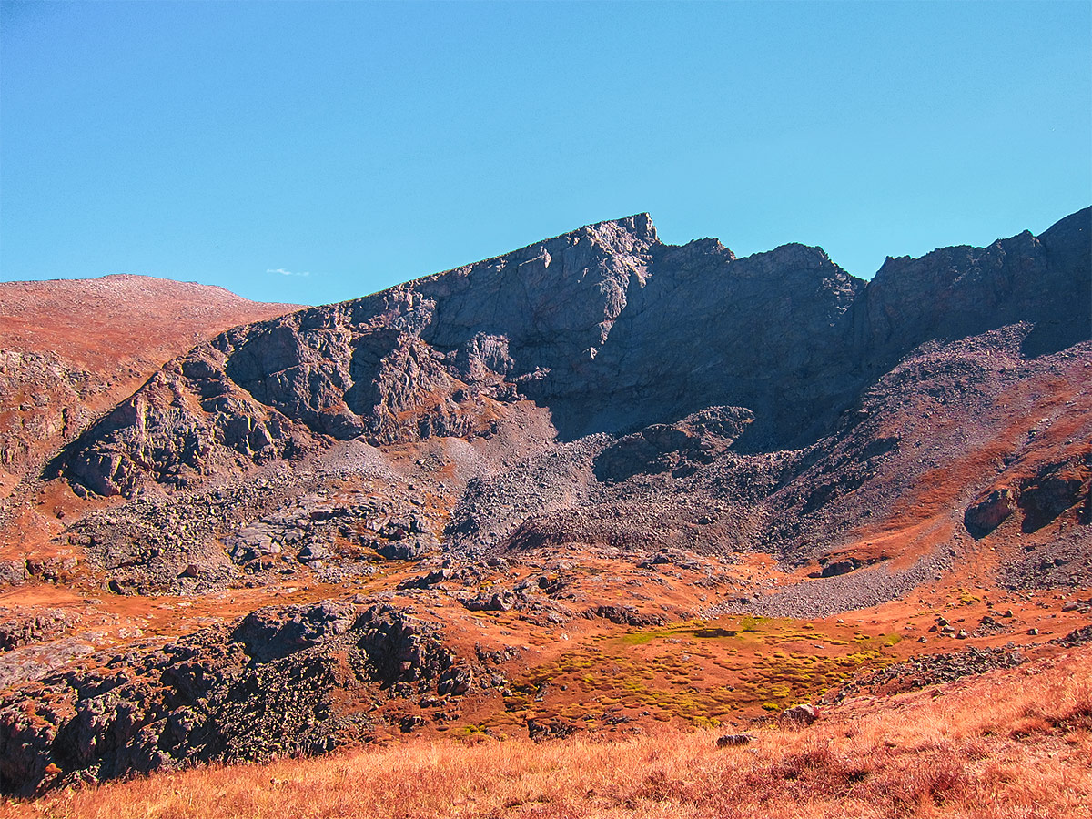
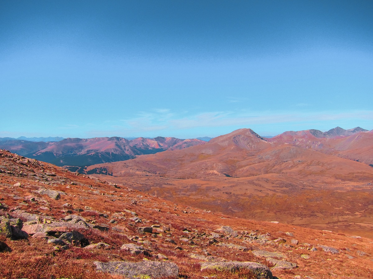
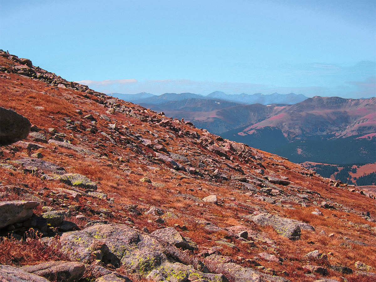
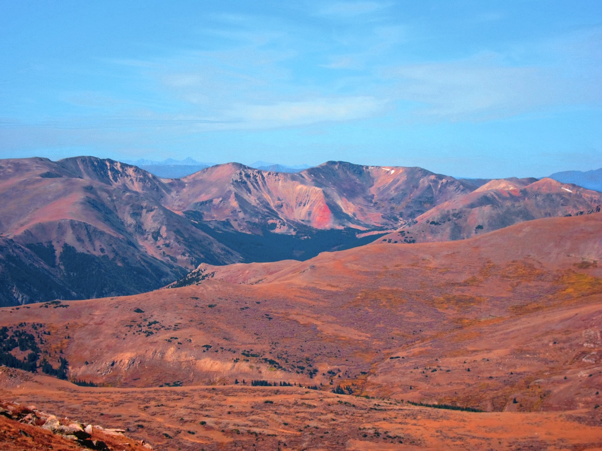
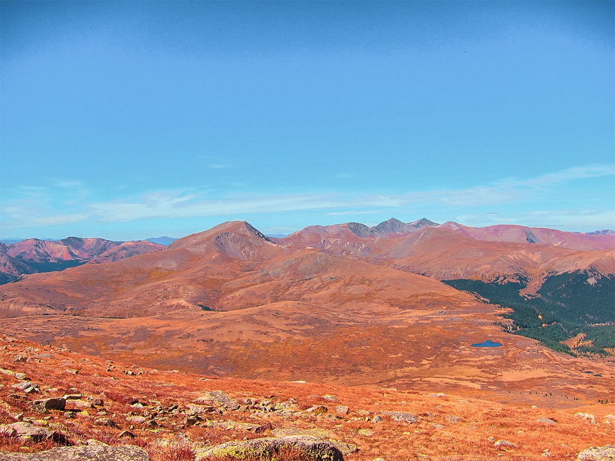
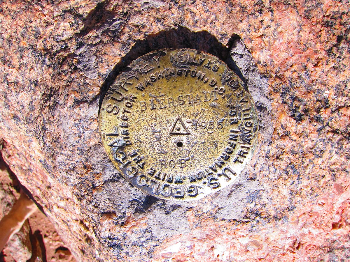
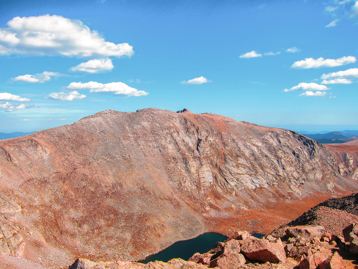
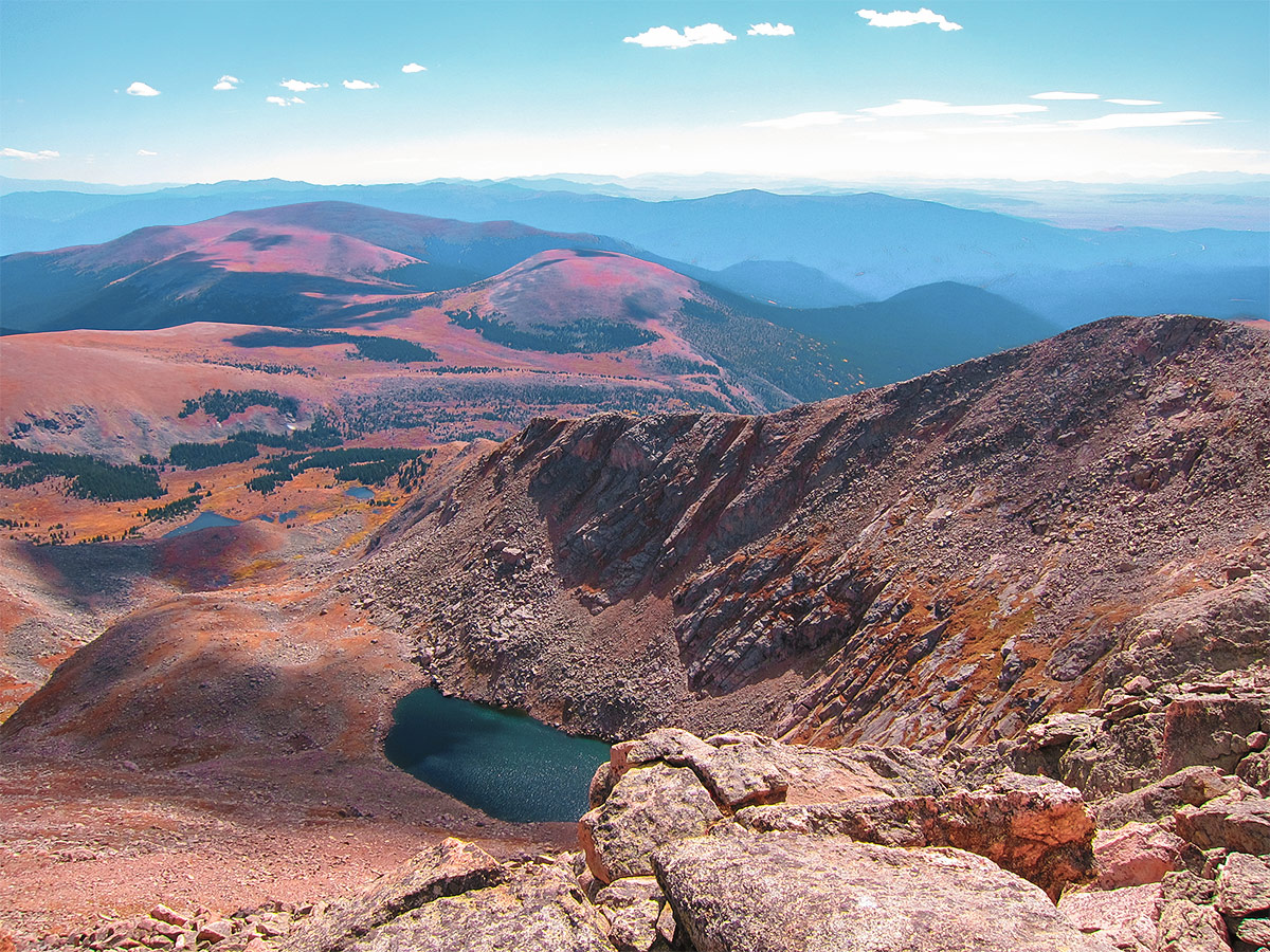
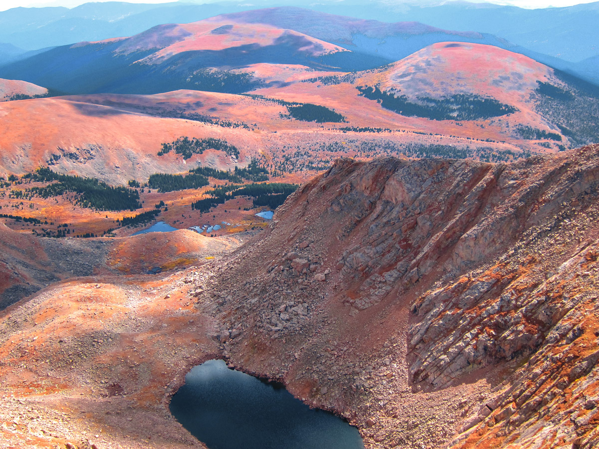
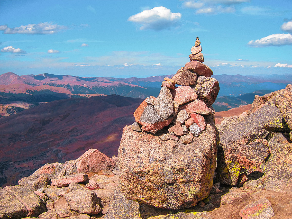
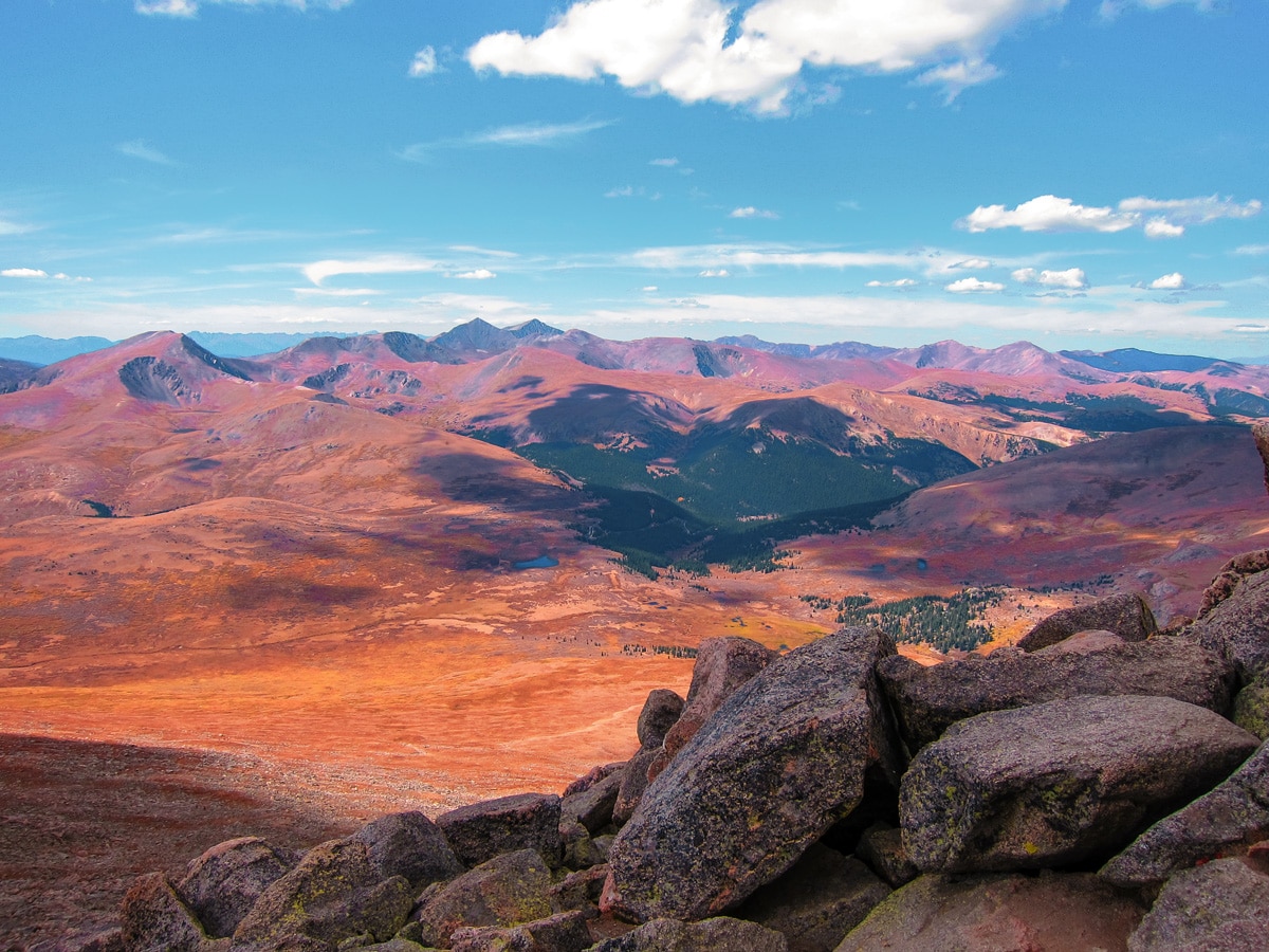
Pass over the rocky shoulder, and you’ll see the summit rising up ahead of you. Eventually, the trail will become steeper and rockier as you approach the summit. This part of the trail is prone to very strong winds, so take care and make sure to come well prepared with plenty of layers. Follow the cairns across the large boulders through the Class II section of the hike. The summit of Mt. Bierstadt (14058ft) will level off with a panoramic view of the Colorado Front Range and Mount Evans to the east. If you have the energy, you can extend the hike by continuing to Mount Evans itself.
To return, hike back the way you came.
Hiking Trail Highlights
Mount Bierstadt
Mount Bierstadt is a high mountain peak in the Colorado Peaks of the Rocky Mountains, near Denver. This mountain is not only a popular hiking destination, it’s also a wonderful place for climbers. This is because even though it’s 14060ft tall, it’s considered to be one of the easier climbs for a mountain over 14000ft, also called one of the 14ers.
Mount Bierstadt was named after the famous American landscape painter, Albert Bierstadt, who reportedly made the first recorded summit of the mountain in 1863. Some of his best-known work was inspired by his trip to the region, including the painting A Storm in the Rocky Mountains, Mt. Rosalie. This spectacular landscape has been inspiring artists and writers ever since.
Frequently Asked Questions about Mount Bierstadt
How long does it take to hike Mount Bierstadt?
This route to the summit of Mount Bierstadt (via the West Slopes) is11.6km long and takes approximately 6-7 hours.
What is the easiest 14er in Colorado?
Colorado’s 14ers are an iconic hiking challenge, but if you’re looking for a slightly easier introduction to these immense mountains, this Mount Bierstadt route is a good option. The hike is challenging, but easier than most other Colorado 14ers. Other easy 14ers include Grays Peak, Torreys Peak and Mount Elbert.
How do I get from Denver to Mt Bierstadt?
To reach the Mount Bierstadt trailhead from Denver, take the I-70 towards Georgetown. Then follow the Guanella Pass Scenic Byway for 13.0mi until you reach the trailhead.
What is the most difficult 14er in Colorado?
Experienced hikers often describe Capitol Peak as the most difficult 14er in Colorado, due to its rugged terrain and steep trails. Other challenging routes include Maroon Peak, Pyramid Peak, and Little Bear Peak, all of which involve tricky scrambles, loose rock sections on the trail, and some long, steep ascents. However, we think that they are all well worth the effort, offering some spectacular views over the mountains!
Is there snow on Mt Bierstadt?
Mount Bierstadt can be hiked all year round, although between October and May you are likely to encounter a lot of snow and ice in the mountains. Even in summer, the weather on Mount Bierstadt can be unpredictable, so make sure to check the local weather forecast before you set out on your hike.
Can you climb a 14er without training?
Climbing a 14er is a manageable feat for most people, and you don’t need to be an experienced hiker or mountaineer. However, you will need to be in good shape as there mountains are at a high altitude, and you will probably need to train before setting out on your hike. Develop a fitness regime that includes a mixture of strength, cardio and endurance training, and make sure to do plenty of shorter hikes in the run up to your attempt.
How do you train for a 14er in Colorado?
Training for a challenging hike, such as a Colorado 14er, requires a mix of strength, cardio and endurance training. One of the best ways to improve your endurance is to get out on the trail as often as possible, and work your way up to climbing at higher altitudes. Don’t neglect strength and flexibility training, as this will ensure that you are more mobile and flexible out on the trail, reducing the risk of injury.
Check out some other great hikes around Denver:
Insider Hints
Altitude sickness is a real thing! Even though Mount Bierstadt is one of the easier 14ers, give yourself time to acclimate to the higher elevations and stay hydrated!
Start before 7am to have fewer crowds and to give yourself plenty of time to get off the mountain before afternoon thunderstorms.

Similar hikes to the Mount Bierstadt Hike hike
Buffalo Bill and Beaver Brook Trail
The Buffalo Bill and Beaver Brook Trail is a demanding adventure near Denver. Reserved for intrepid spirits, this hike is…
Travois Trail
Travel through meadowlands, beneath the shade of towering pines, and scramble up rocky ridges on the Travois Trail. This scenic…
Mount Morrison Trail
The Mount Morrison Trail is an awesome hike reserved for intrepid adventurers. Short but steep, this trail packs a punch!…
CandyJ 4 years ago
Bewildering hike! We had fun looking at the beautiful landscapes.
Stevie M 4 years ago
There’s a small river crossing at the beginning of the hike. I would recommend this trail to an expert beginner that would love to go on training for a challenging hike!
Sofia L. 4 years ago
A moderately easy and dynamic hike. The trail was steeper as you get close to the summit.
Tiffany Swift 4 years ago
I recommend to be in shape before taking this trail. Be ready to take the challenge, for you not to miss the wonderful views being offered by this trail.
jennyspencer 4 years ago
The views were majestic but wearing proper hand gear is a must to avoid hand injuries.
Eugene L 4 years ago
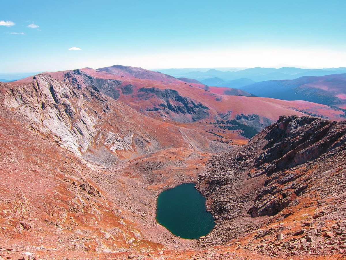
The unique reddish-orange surroundings are very charming! It's different from most of the mountains I've visited before.
Lux L. 5 years ago
The warm tones of the surroundings were mesmerizing!
Kelsi Honet 5 years ago
Enjoyed this short out-and-back. It's fun and exciting, and you'll see amazing views the whole way.
Jay Adams 5 years ago
The sun was so bright when we did this hike. It was scorching hot. I sweat a lot.
Jethro P. 5 years ago
Very windy, but beautiful at the top. Once of the most rewarding hike with minimal effort.