Mount Evans hike
View Photos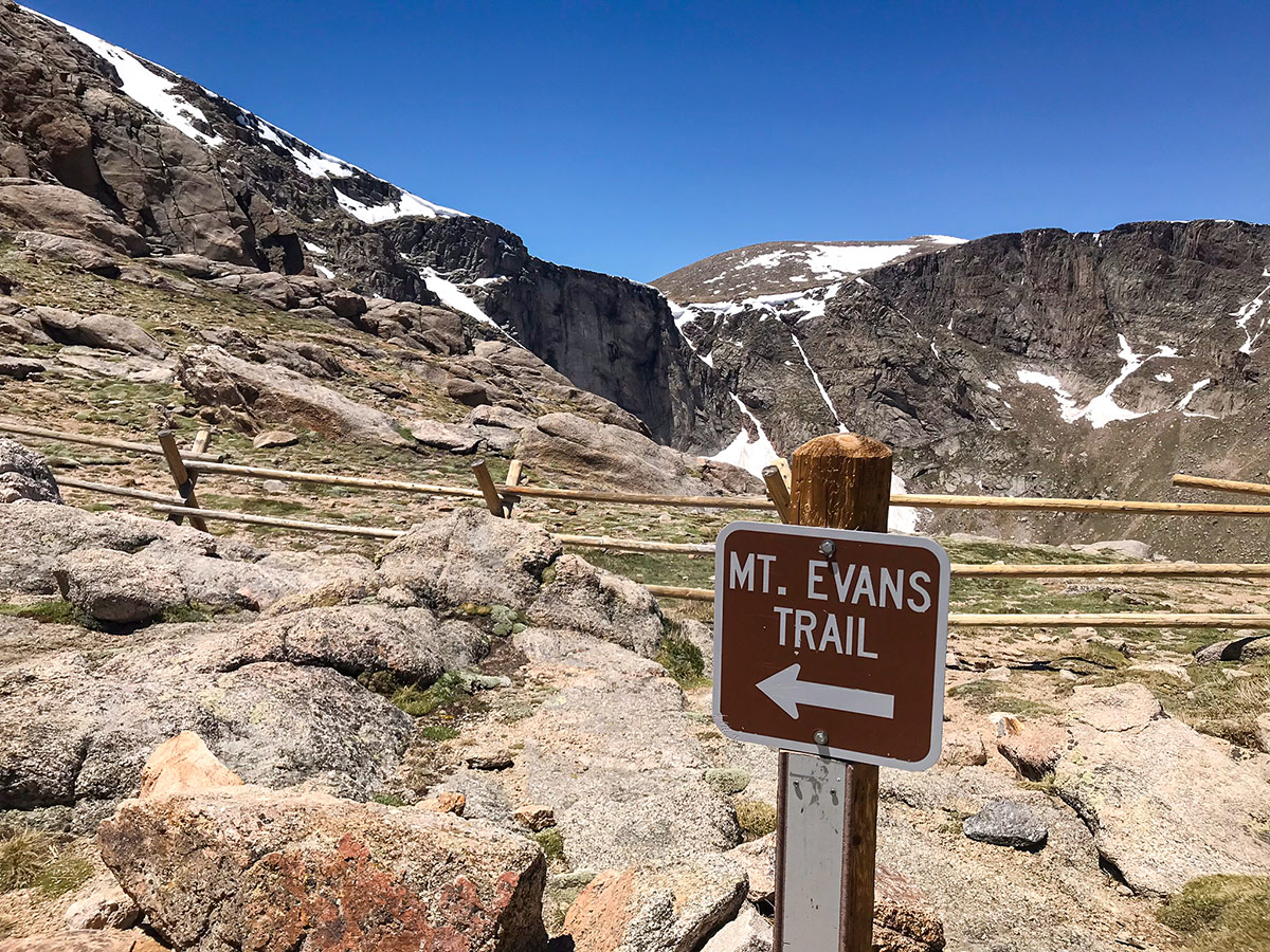
Mount Evans hike
Difficulty Rating:
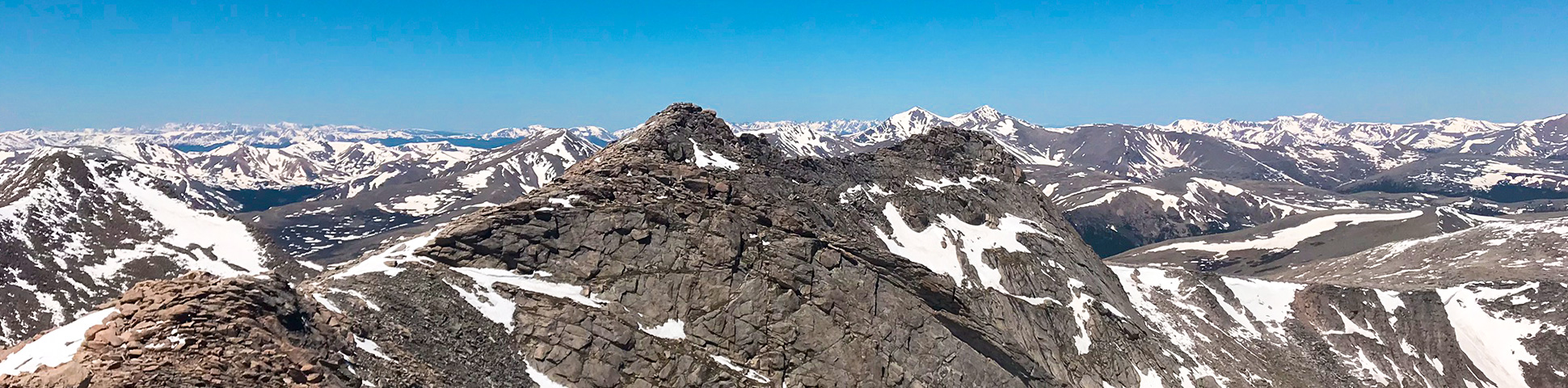
The Mount Evans hike takes you to 14264ft, with the route going along the West Ridge via Mt. Spalding is an epic hike that will provide separation from the crowds on this popular Colorado 14er!
Getting there
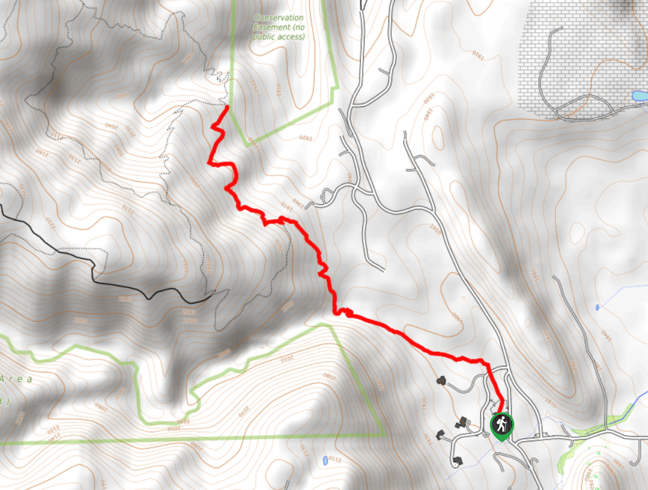
From Denver, take I-70 west towards the mountains. Take Exit 240 in Idaho Springs towards Mt Evans via Mt Evans Rd. Enter the Mount Evans Wilderness and pay an entrance fee at the ranger station. Continue driving up Mt Evans Rd for approximately 9.0mi to Summit Lake parking area.

About
| When to do | April to November |
| Backcountry Campsites | No camping allowed on Mt. Evans |
| Toilets | Yes, primitive pit toilet |
| Pets allowed | Yes - On Leash |
| Family friendly | No |
| Route Signage | Good |
| Crowd Levels | High |
| Route Type | Out and back |
Mount Evans
Elevation Graph
Weather
Route Description for Mount Evans
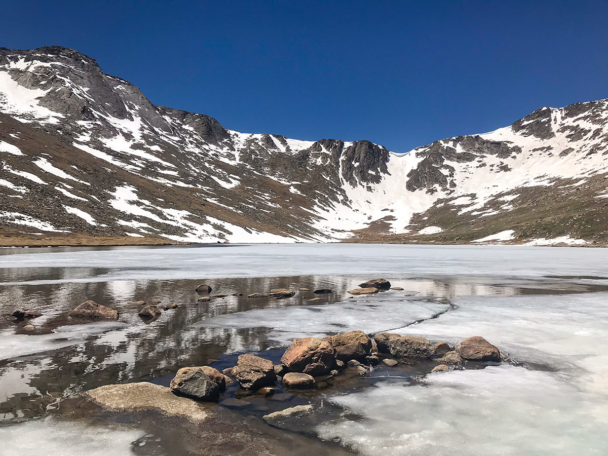
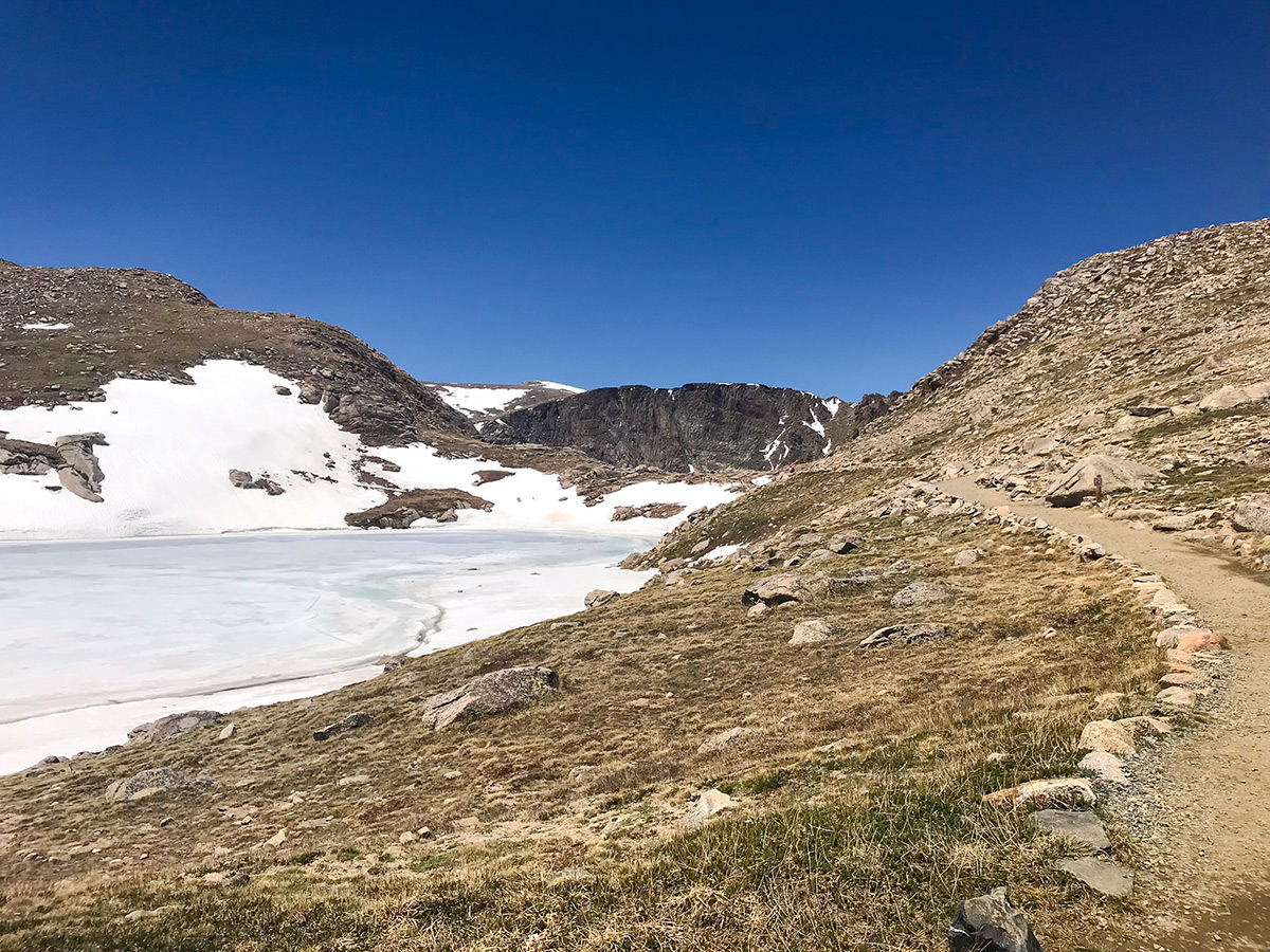
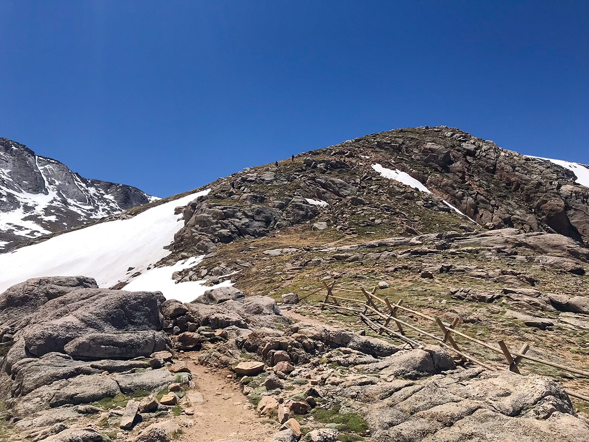
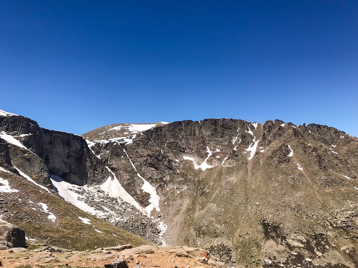
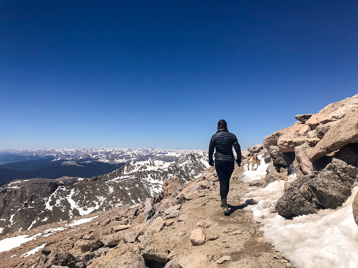
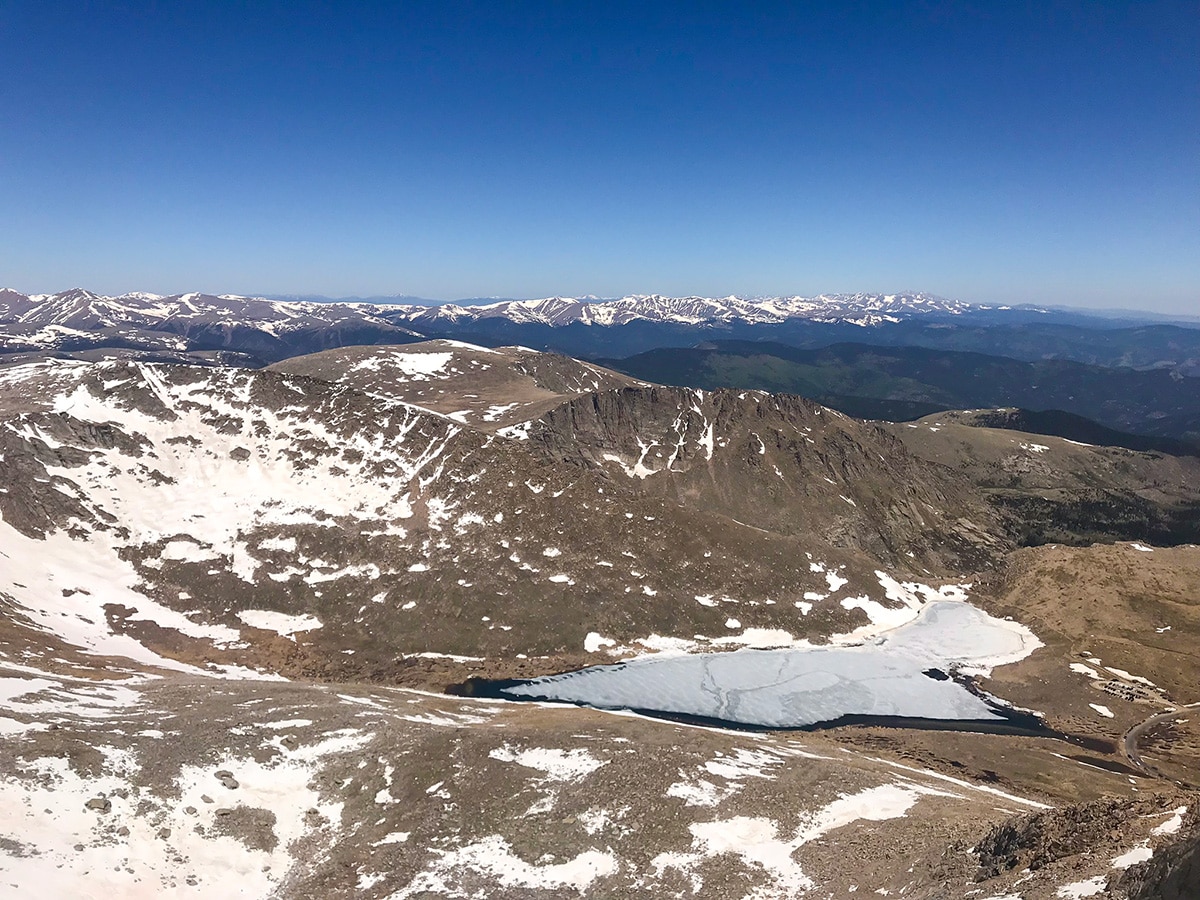
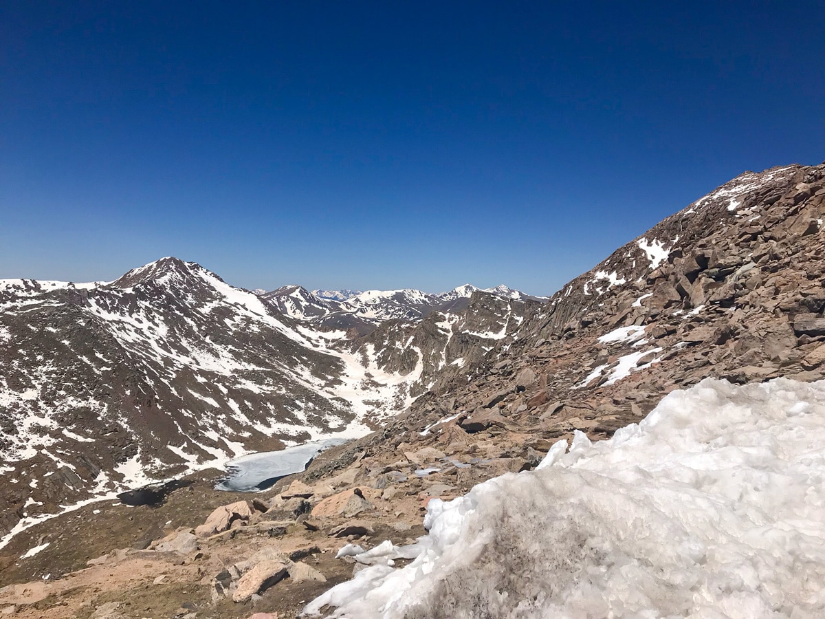
The Mount Evans hike starts at Summit Lake, which is the highest lake in Colorado at 12835ft above sea level. Summit Lake is nestled into a glacial cirque between the north face of Mount Evans and the east face of Mount Spalding.
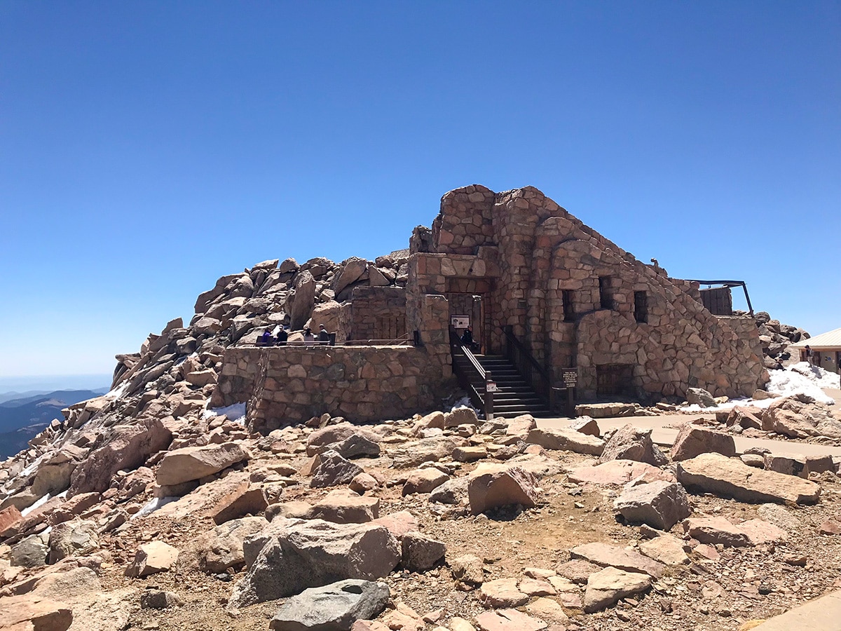
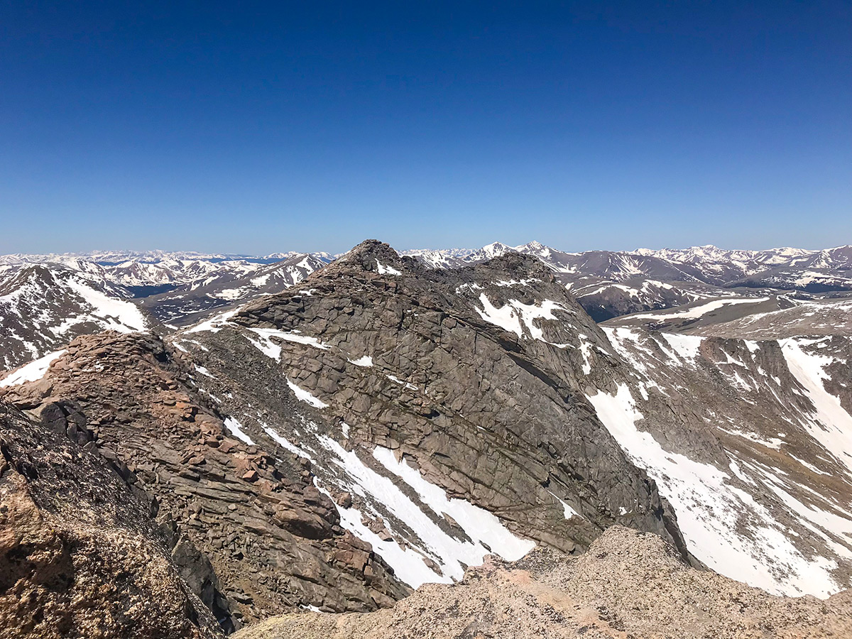
From the Summit Lake parking lot, follow the trail north, past a historic rock building, to an overlook of Chicago Lakes. A sign marks the start to Mt. Evans Trail and climbs up the East Ridge of Mount Spalding. Don’t take the trail up the ridge, and not follow the other route that follows the base.
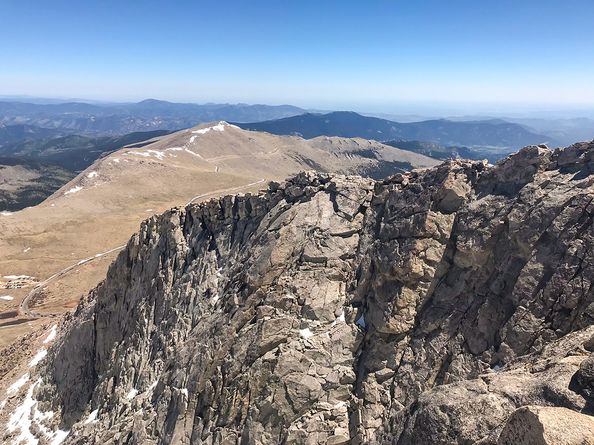
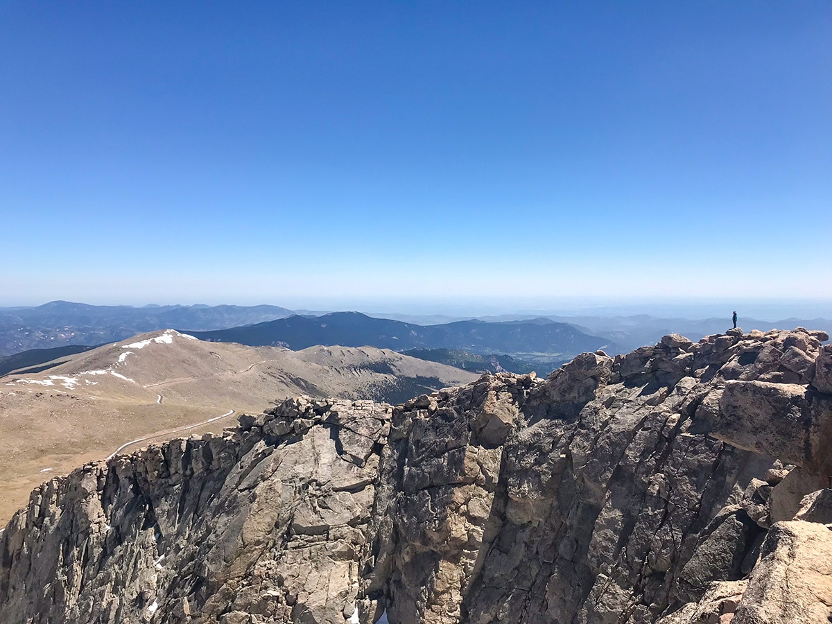
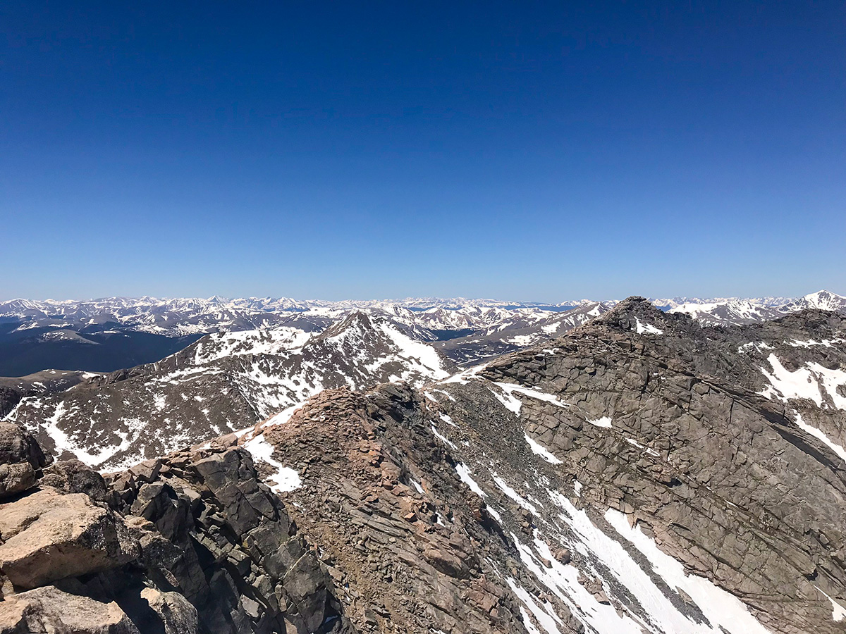
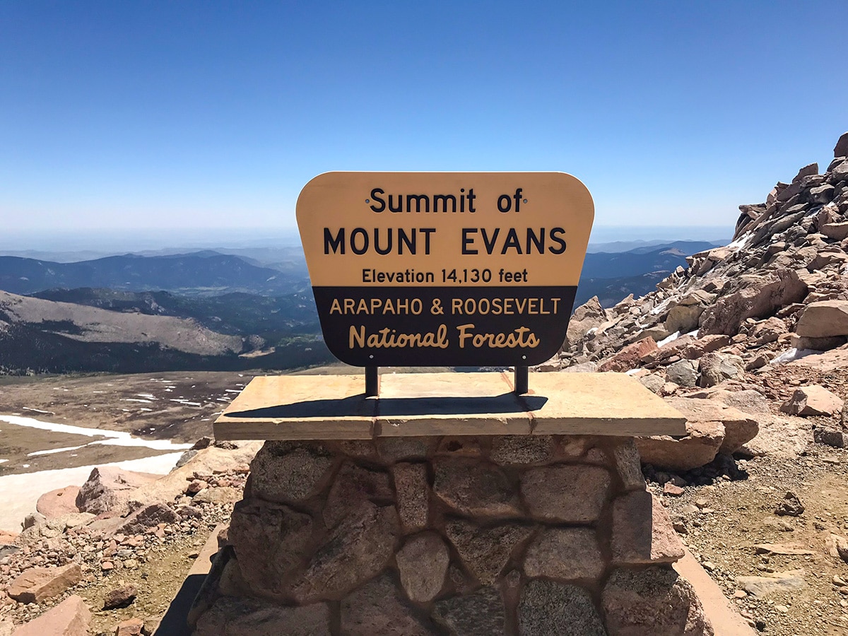
After reaching the summit of Mount Spalding, make your way down to the Evans-Spalding saddle, following cairns south toward the West Ridge of Mount Evans. This rocky section of trail may require the use of your hands and has two prominent features. The first is a notch in the ridge which you must pass and the second is a false summit known as “West Evans”. Keep going and you’ll reach the summit of Mount Evans is at 14264ft.
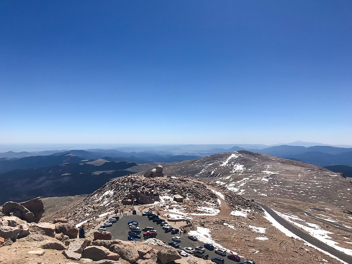
After enjoying a break at the summit of Mount Evans, your return is to either head back the way you came, or take a steeper and more direct route down the Northeast Face Route of Mt. Evans.
Check out some other great hikes around Denver:
Insider Hints
There is a charge of $15 per vehicle to drive up Mt Evans Rd. Parking at Summit Lake is a $5 charge.
Altitude sickness is a real thing! Even though Mount Evans is one of the easier 14er, give yourself time to acclimate to the higher elevations and stay hydrated!
Start before 7am to have fewer crowds and to give yourself plenty of time to get off the mountain before afternoon thunderstorms.

Similar hikes to the Mount Evans hike

Singletree and Mayhoffer Trail
The Singletree and Mayhoffer Trail is a scenic adventure that will guide adventurers through the lush meadowlands that reveal sights…

Mount Galbraith via Cedar Gulch Trail
The Mount Galbraith via Cedar Gulch Trail is a charming adventure near Golden, Colorado that reveals the beauty and diversity…
Belcher Hill and Whippletree Trail
The Belcher Hill and Whippletree Trail is an exciting adventure—how could it not be with a name like that? The…
rosevalley 4 years ago
Perfect views of snow-peaked mountains and blue sky!
CandyJ 4 years ago
On a hot day, make sure to bring extra bottles of water because this hike will get you exposed to elements.
Sammy L. 4 years ago
The last visit was a year ago and it was a wonderful place
Stevie M 4 years ago
If you are new to this area, please take the time to go here. You don't want to miss this one.
Sofia L. 4 years ago
Amusing hike with beautiful views of the surrounding peaks. Best to go early to avoid the huge crowd.
will-perry 4 years ago
It's not as challenging as Gore Valley, but the views were as impressive.
Jane Lewitt 4 years ago
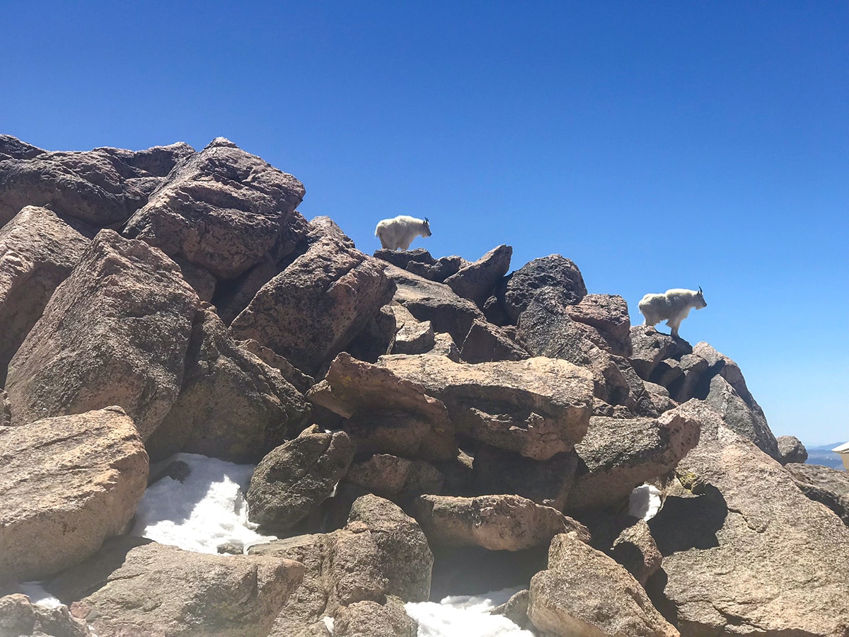
Beautiful Mountain scenery, lots of hiking trails and wildlife. Awesome scenery!
Eugene L 4 years ago
The melting glaciers look incredible. It was nice moderate hike.
Kelsi Honet 5 years ago
Decent short hike. The snow-peaked mountains look gorgeous. Exceptional scenery.
Jay Adams 5 years ago
Love the expansive views at the top.A must-do hike. Perfect for beginners.