

Singletree and Mayhoffer Trail
View Photos
Singletree and Mayhoffer Trail
Difficulty Rating:
The Singletree and Mayhoffer Trail is a scenic adventure that will guide adventurers through the lush meadowlands that reveal sights of the Front Range foothills and the cityscape. Perfect for families and novice adventurers, everyone will love the sights of the cattle grazing in the cow pasture.
Getting there
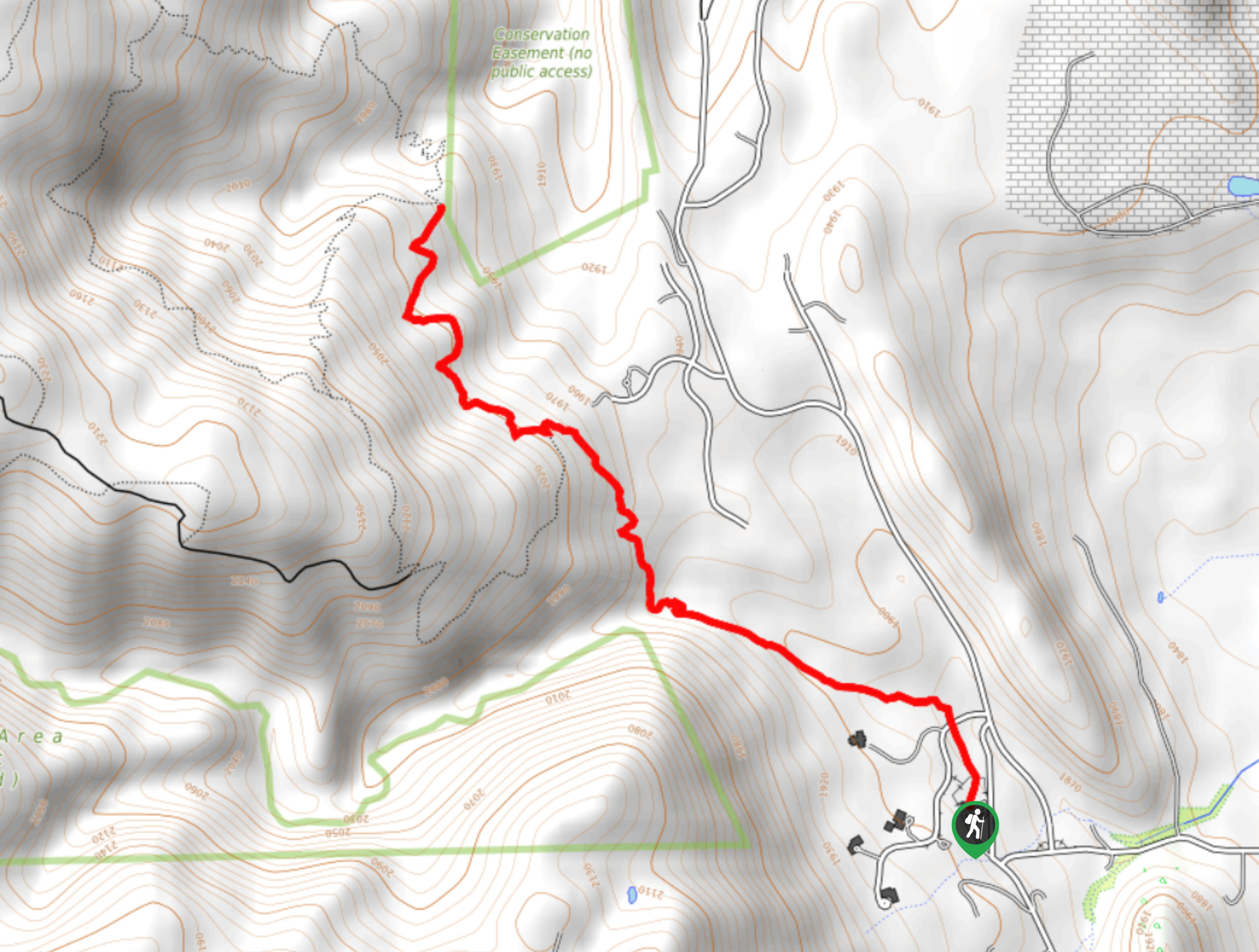
The Singletree and Mayhoffer Trail departs from the trailhead off W Thomas Street.

About
| Backcountry Campground | No |
| When to do | Year-round |
| Pets allowed | Yes - On Leash |
| Family friendly | Older Children only |
| Route Signage | Average |
| Crowd Levels | Moderate |
| Route Type | Lollipop |
Singletree and Mayhoffer Trail
Elevation Graph
Weather
Singletree and Mayhoffer Trail Description
The Singletree and Mayhoffer Hike is the ideal adventure for those seeking a long and challenging excursion. The undulating path will guide trail-goes through grassy plains alongside creeks, by a cow pasture, and beneath sparse tree shade. A diverse experience, you will appreciate the best of both worlds as you are rewarded with mountain views and sights of the city skyline. This path is almost completely exposed, so we recommend early morning adventures in the summer to avoid the intolerable heat. Additionally, make sure you keep an eye out for rattlesnakes as you travel the arid terrain.
Embark on your adventure from the trailhead. From here, track northwest along the Singletree Trail and over Coal Creek. Maintain this route until you cross W Coal Creek Drive. From here, the path merges into the Mayhoffer Trail. Trek past mines and over creeks. Soon the trail will merge into the Cowdrey Draw Trail. This trail will guide you past Marshall Lake prior to delivering you to a junction. Here, keep right and you will be diverted onto the Marshall Valley Trail. This path will guide you along the Davidson Ditch and past mines. At the next junction, veer left onto the Coal Seam Trail before taking another left turn onto the Community Ditch Trail.
Similar hikes to the Singletree and Mayhoffer Trail hike

Mount Galbraith via Cedar Gulch Trail
The Mount Galbraith via Cedar Gulch Trail is a charming adventure near Golden, Colorado that reveals the beauty and diversity…
Belcher Hill and Whippletree Trail
The Belcher Hill and Whippletree Trail is an exciting adventure—how could it not be with a name like that? The…
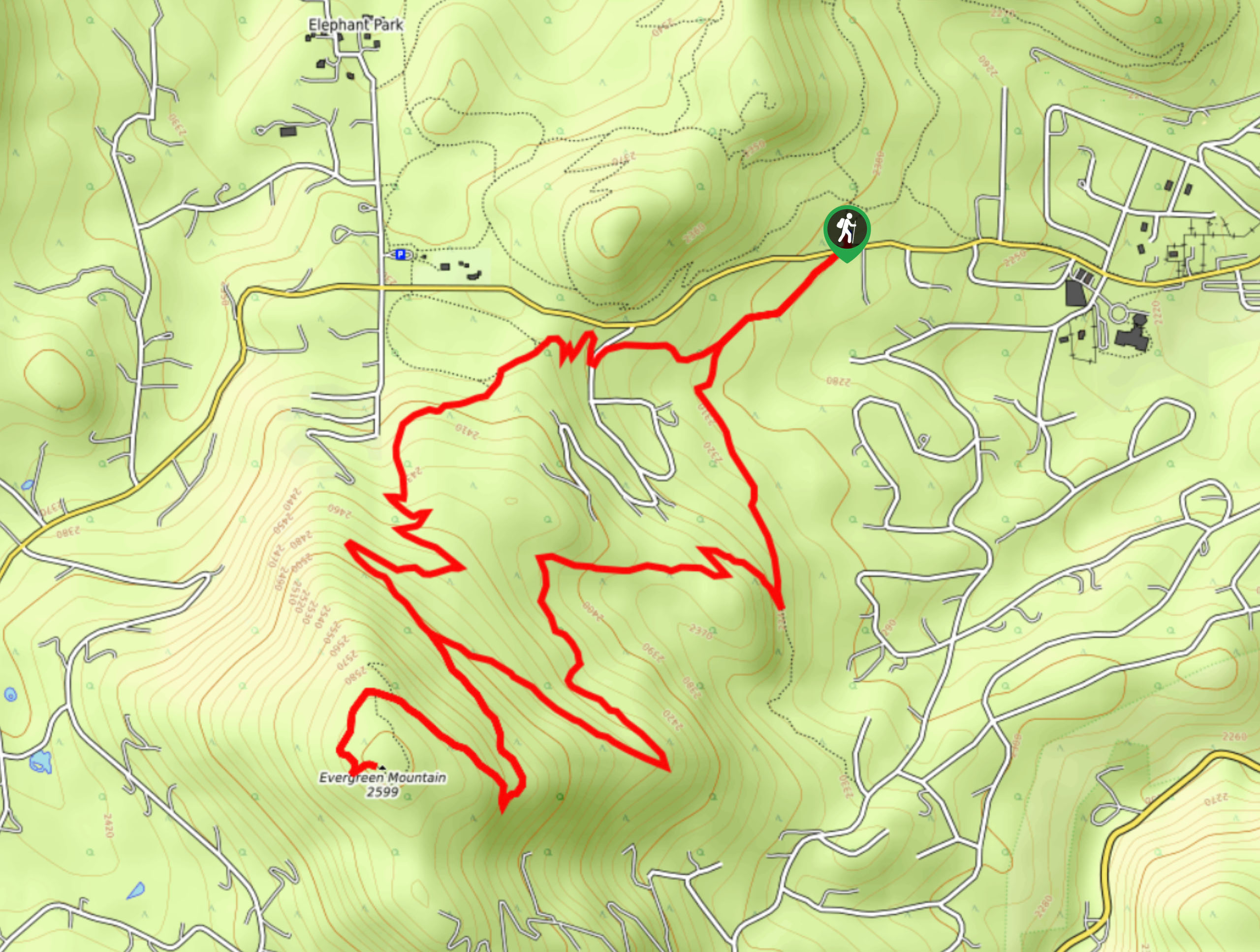
Evergreen Mountain Summit Hike
The Evergreen Mountain Summit Hike is a charming adventure near Denver, CO. As you travel the enchanted woodland path, you…
Comments