
Grays Peak and Torreys Peak Trail
View Photos
Grays Peak and Torreys Peak Trail
Difficulty Rating:
Hiking Grays Peak and Torreys Peak is a popular intro hike to the famous Colorado 14ers (peaks above 14000ft). Having the two peaks so close together makes for an exciting and scenic day, hiking two Colorado 14ers in a single day out!
Getting there
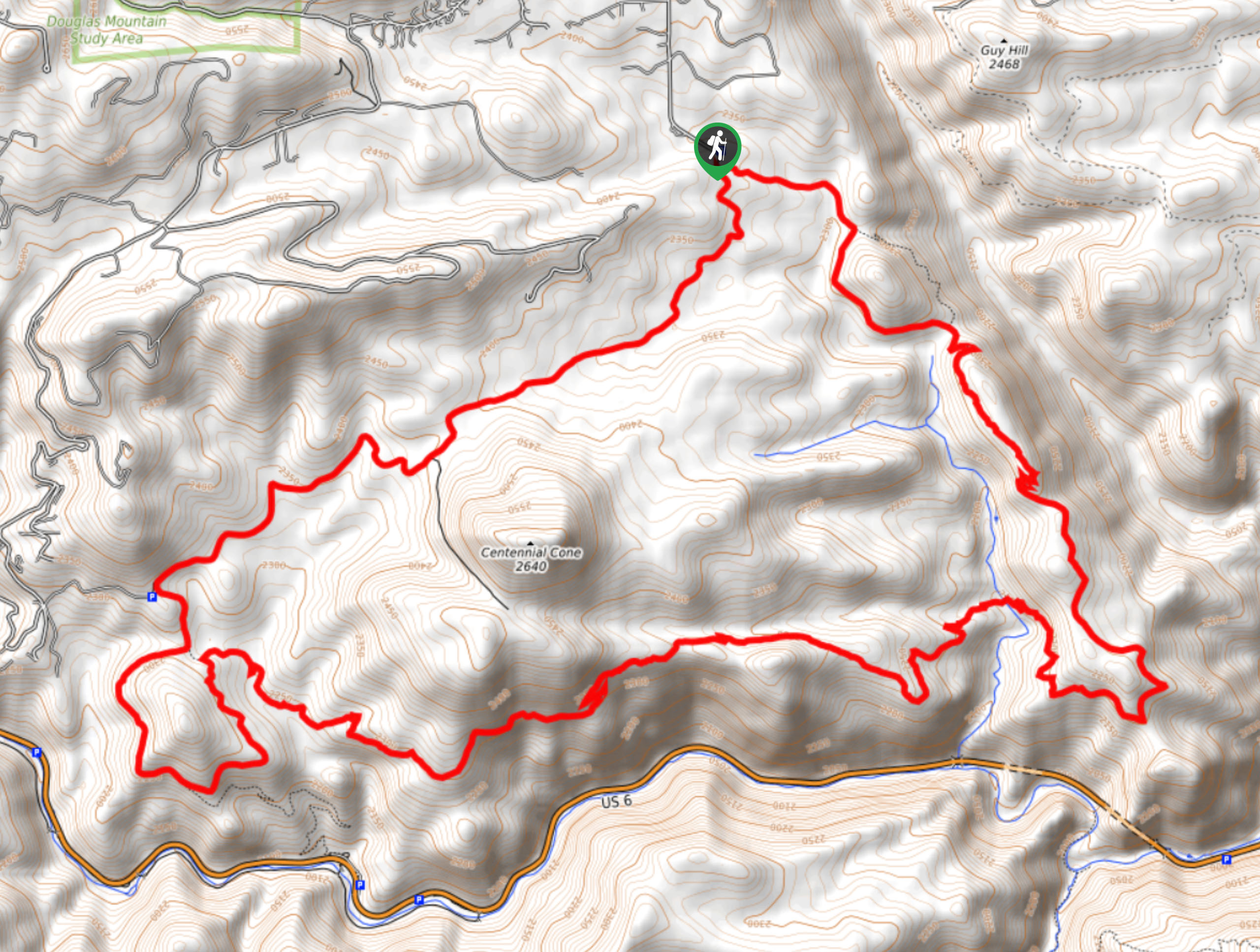
From Denver, take I-70 west towards Silver Plume. Take Exit 221 onto Stevens Gulch Rd, high clearance vehicle is recommended. After 3.1mi, park at the Grays and Torreys Trailhead (also known as the Stevens Gulch Trailhead).

About
| When to do | April to November |
| Backcountry Campsites | No camping is allowed on Grays and Torreys |
| Toilets | Yes, primitive pit toilet |
| Pets allowed | Yes - On Leash |
| Route Signage | Good |
| Crowd Levels | Moderate |
| Route Type | Out and back |
| Family friendly | No |
Grays Peak and Torreys Peak Trail
Elevation Graph
Weather
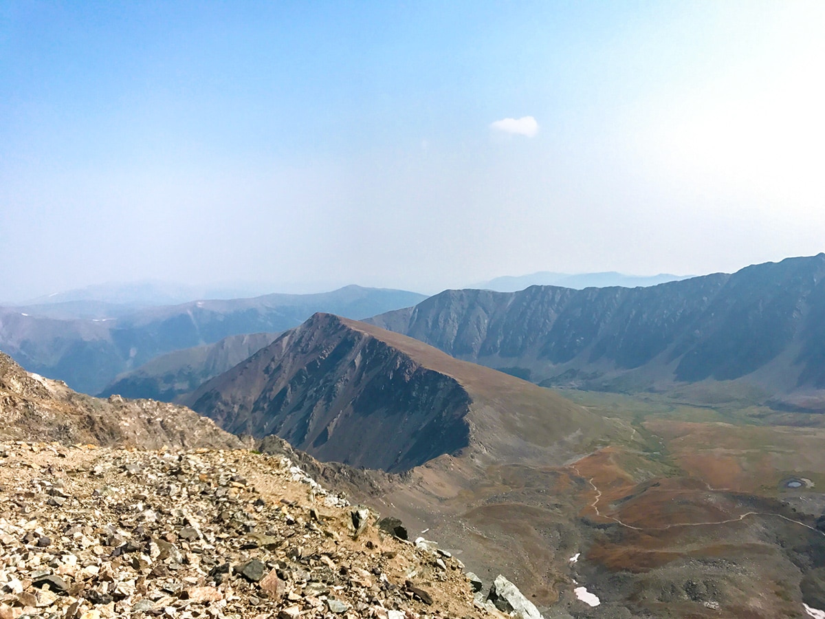
Route Description for Grays Peak and Torreys Peak Trail
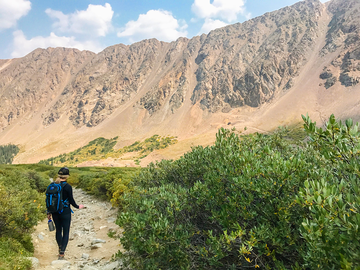
The hike up Grays Peak and Torreys Peak is a great day out near Denver. If you’re not from Denver, be aware that getting up over 14000.0mi can cause altitude sickness, so that this hike shouldn’t be your first hike when you arrive in Denver.
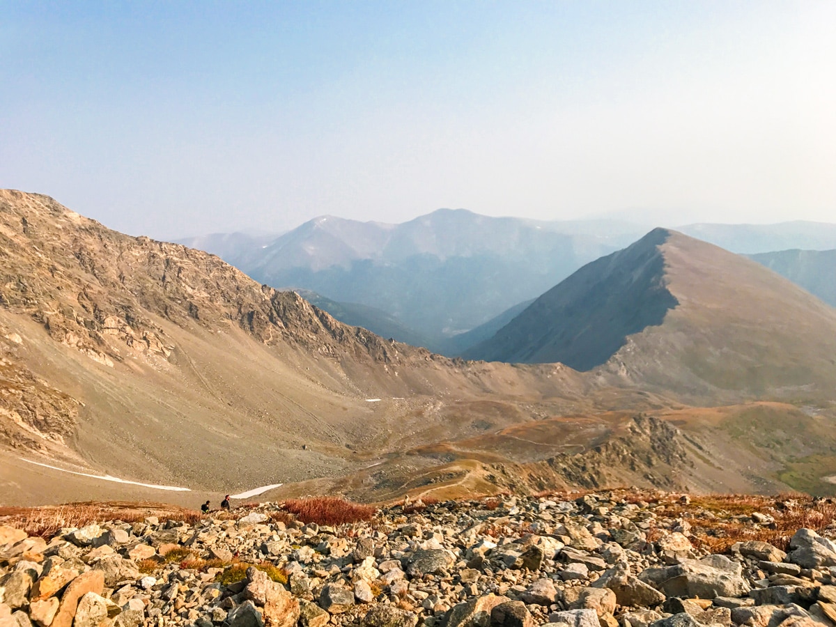
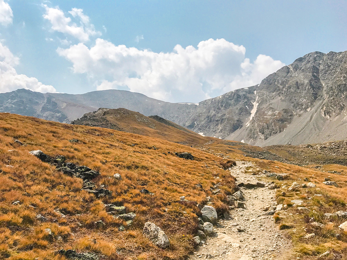
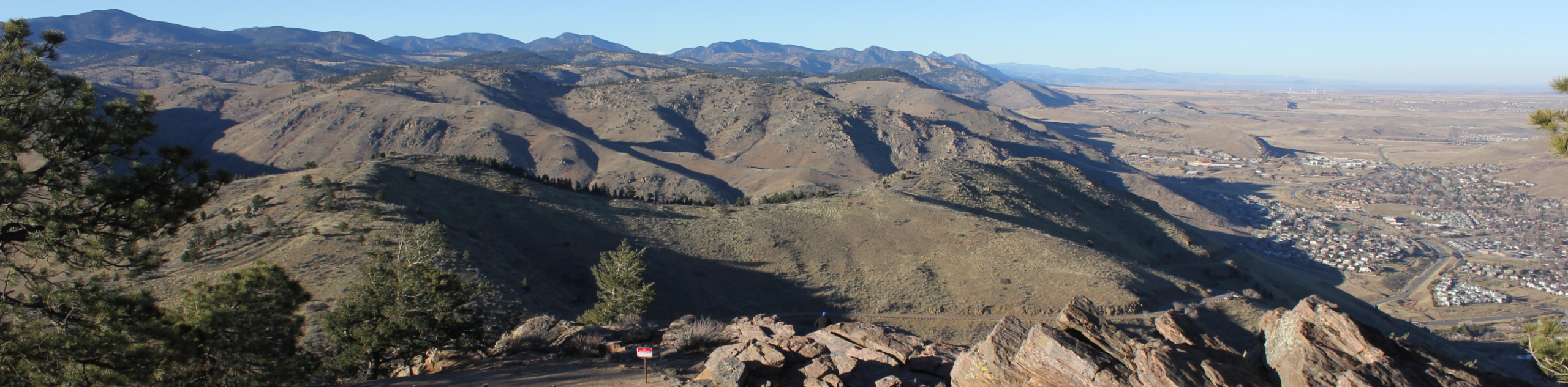
From the Grays and Torreys trailhead (also known as the Stevens Gulch Trailhead), follow the trail up Stevens Gulch. The well-defined trail up to Grays can easily be seen in the distance as it makes its way up the mountain. Initially the path will be a wide trail with an information sign posted 1.5mi from the trailhead.
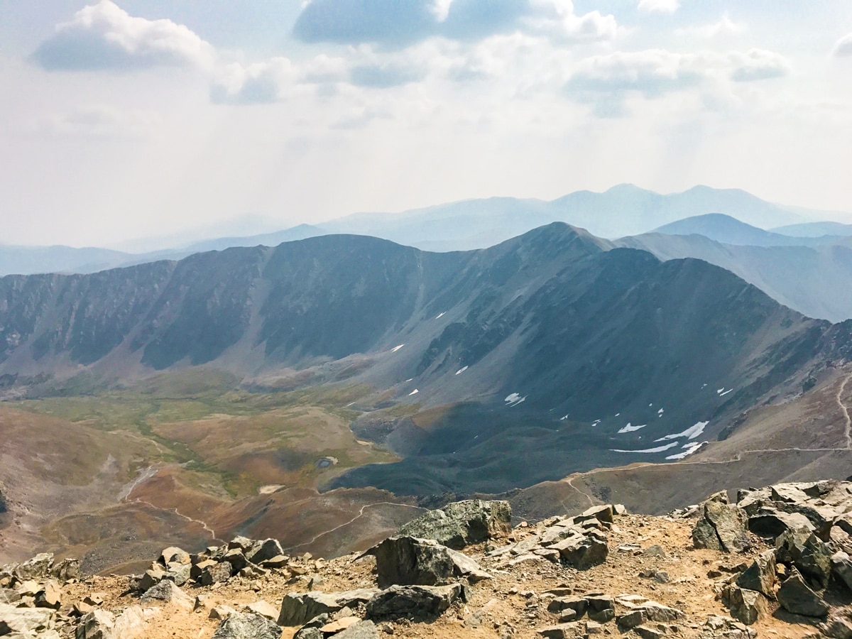
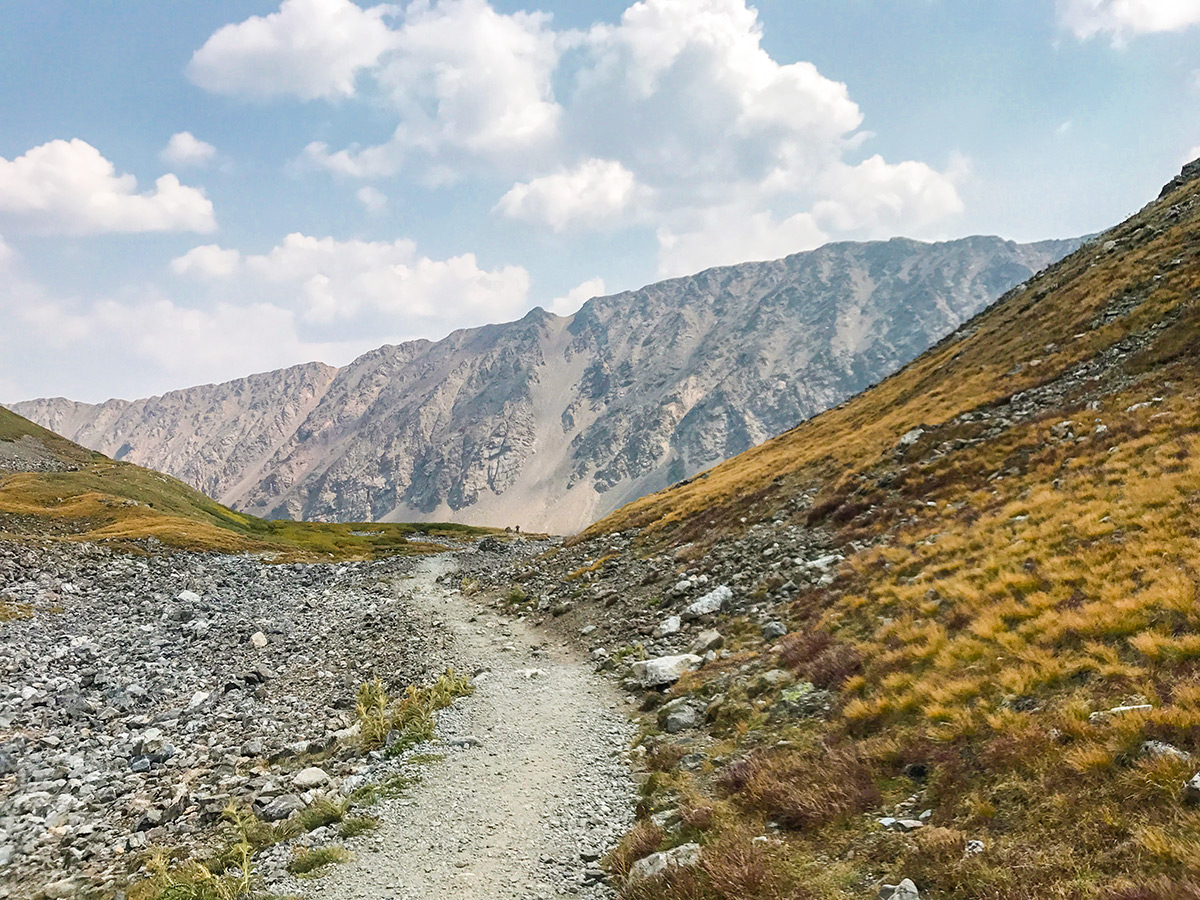
Follow the trail as it crosses over a rocky section and heads towards a small ridge. Torreys Peak will be visible to your right as you continue to climb up Grays. At a trail junction roughly 2.8mi from the parking lot, stay left on the main trail.
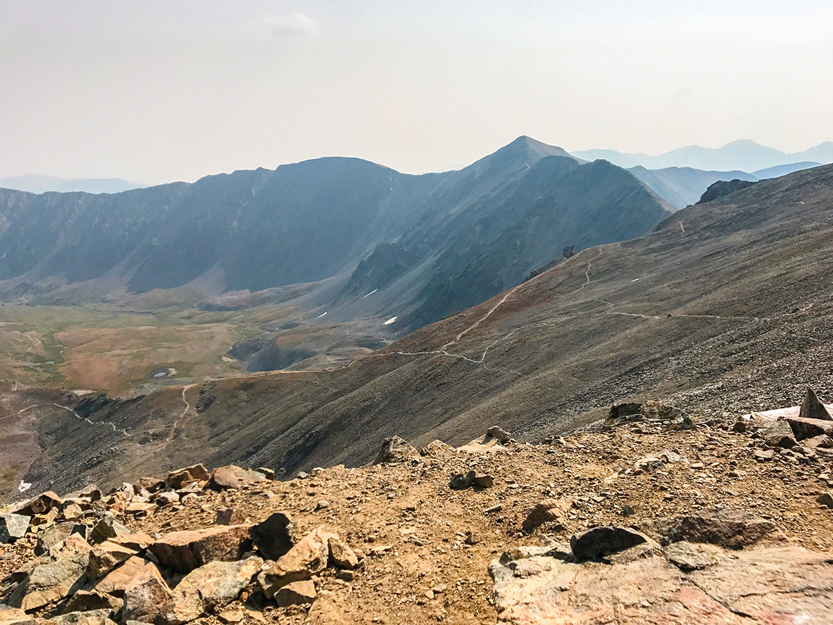
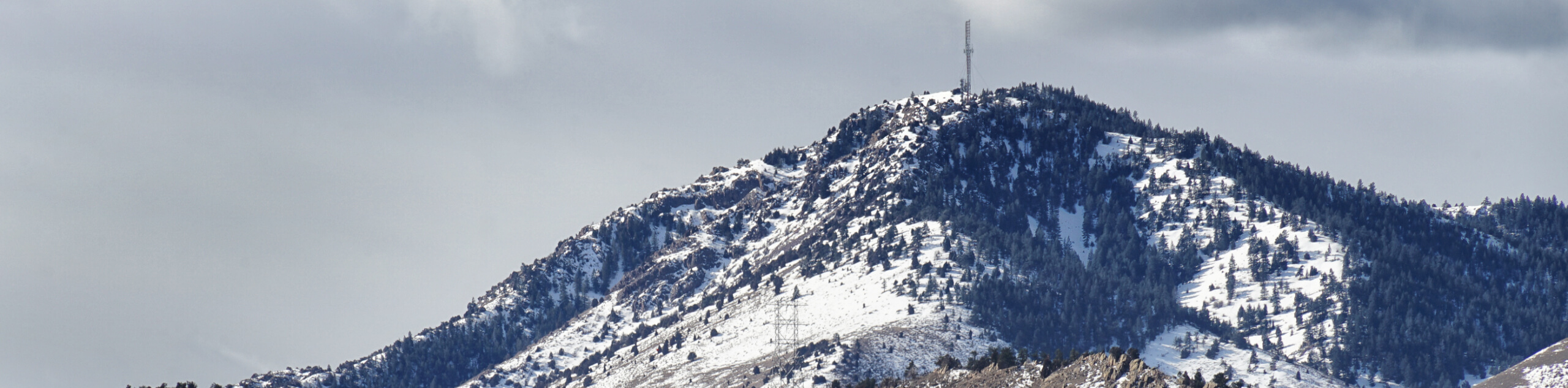
Eventually, you will arrive at an overlook of Stevens Gulch. From the overlook, take a right and climb up the north slope of Grays all the way to the summit (14278ft).
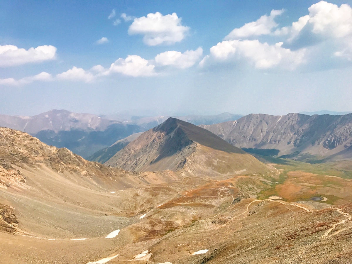
To link the two summits, you must descend from the summit of Grays Peak via the North Ridge. This is the most difficult section and is rated Class II as you make your way across the rough and rocky trail
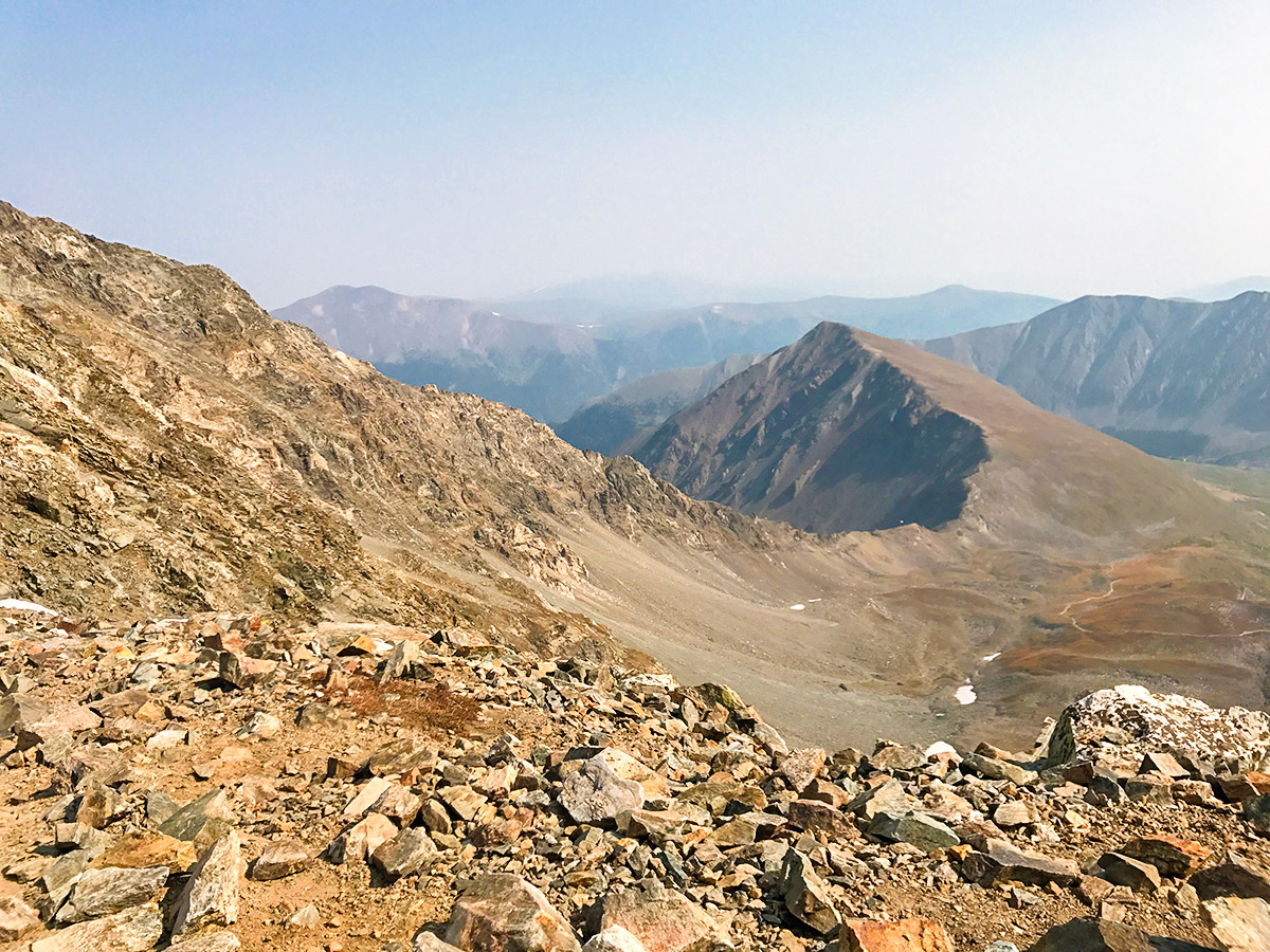
Once you arrive at the Grays-Torreys saddle the trail widens out, momentarily reducing the overall exposure and technical nature of the hike. From the saddle, there is a trail that can be used to descend, if you need to bail, this will also be the trail you will use to descend back to the main trail that leads down to the trailhead. To climb to the top of Torreys Peak, follow the loose Class II trail up the southeast ridge of Torreys all the way to the summit (14275ft).
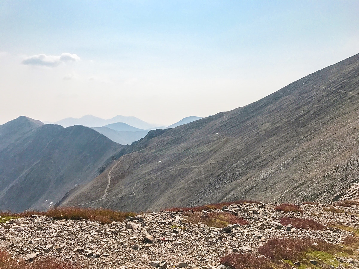
To make your way back to the trailhead, descend off of the summit, back towards the Grays-Torreys saddle. Descend the trail which connects back to the main trail, all the way down to the parking lot.
Check out some other great hikes around Denver:
Insider Hints
Altitude sickness is a real thing! Give yourself time to acclimate to the higher elevations and stay hydrated!
Start early, this is a popular hike and afternoon thunderstorms mean you want to be down off the mountain.
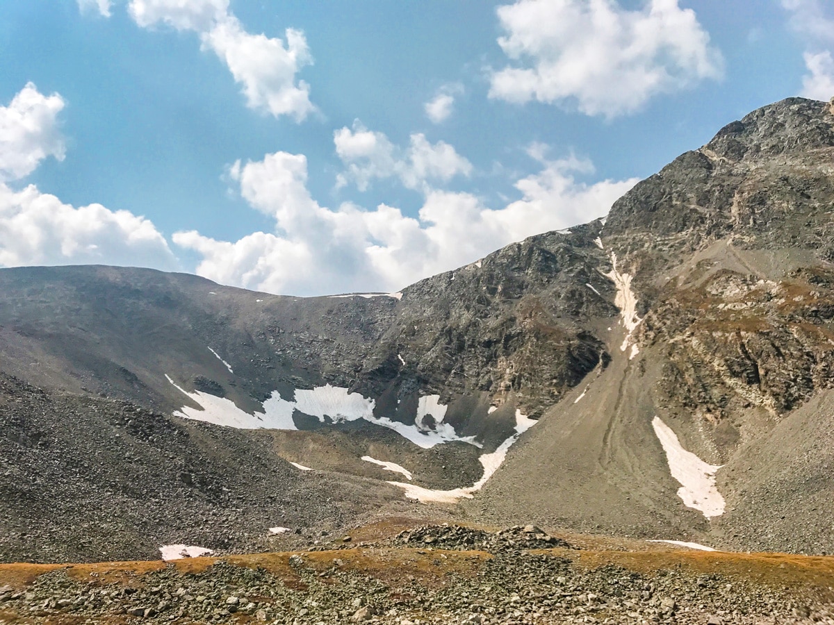
Conditions near the peaks are typically colder and windier than at the parking lot. Bring an extra layer on this hike.

Similar hikes to the Grays Peak and Torreys Peak Trail hike
Buffalo Bill and Beaver Brook Trail
The Buffalo Bill and Beaver Brook Trail is a demanding adventure near Denver. Reserved for intrepid spirits, this hike is…
Travois Trail
Travel through meadowlands, beneath the shade of towering pines, and scramble up rocky ridges on the Travois Trail. This scenic…
Mount Morrison Trail
The Mount Morrison Trail is an awesome hike reserved for intrepid adventurers. Short but steep, this trail packs a punch!…
CandyJ 4 years ago
This trail is challenging. Aside from the steep ascend, everything else was manageable.
Stevie M 4 years ago
It was a windy day when I hiked this trail, but it was great.
jennyspencer 4 years ago
All the sweat an tears were worth it. This is not for the faint-hearted.
will-perry 4 years ago
It was worth all the sweat! Perfect stretch workout to burn your leg fats.
Sammy L. 4 years ago
Very fun and challenging 14er! Amazing views!
Eugene L 5 years ago
It was a tough climb to the peak! It was a nice experience still.
Lux L. 5 years ago
What a thrilling hike! The moment I started seeing the beautiful views, I stopped complaining!
Earl M. 5 years ago
This hike is pretty long and arduous. I don't recommend it for amateur hikers.
Kelsi Honet 5 years ago
It was a thrilling journey to the summit. Extensive views look so gorgeous. You'll never run short of good views here.
Jay Adams 5 years ago
It was a thrilling journey to the summit. Extensive views look so gorgeous. You'll never run short of good views here.