Sunset Ridge Road Hike
View Photos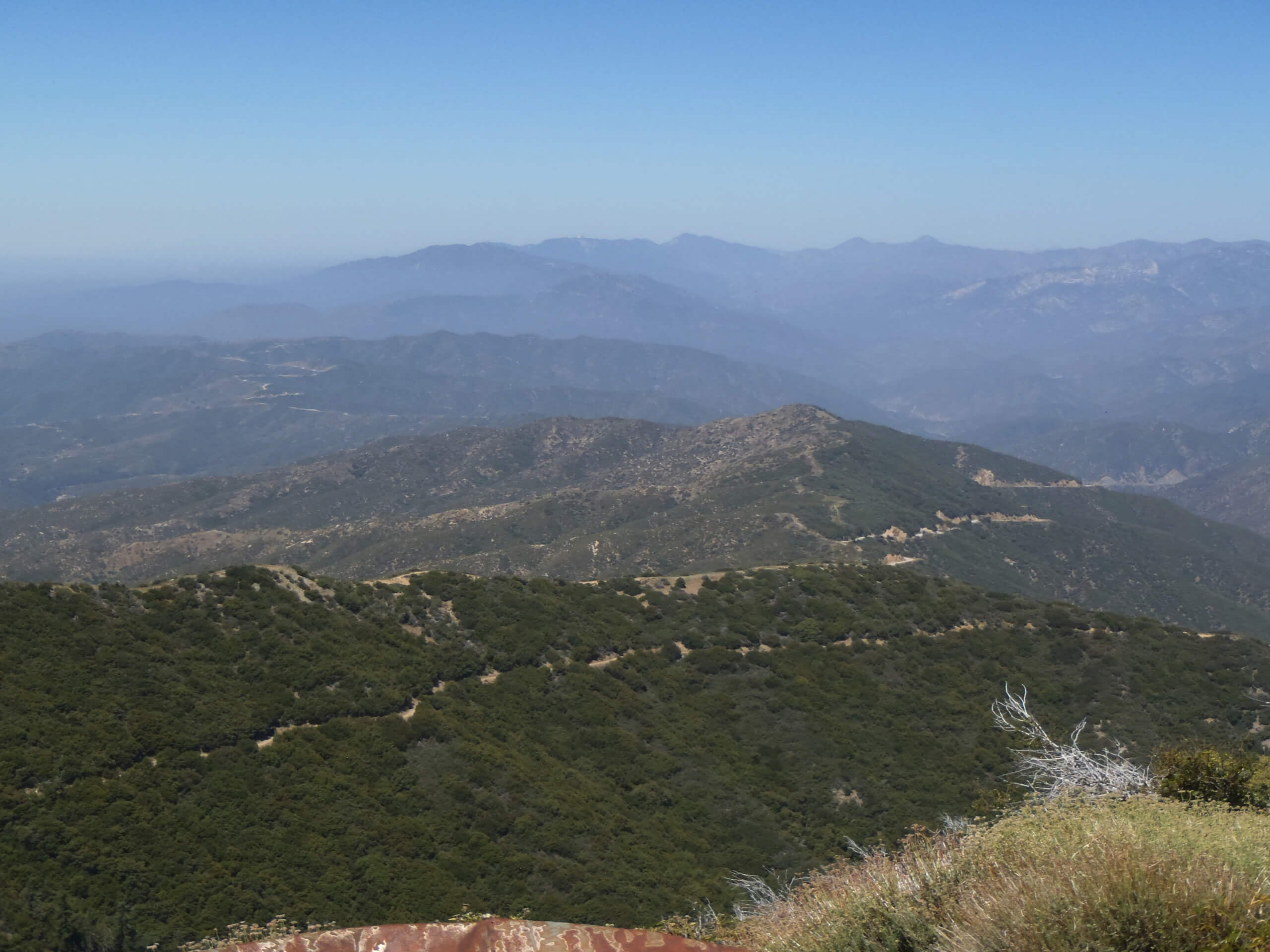
Sunset Ridge Road Hike
Difficulty Rating:
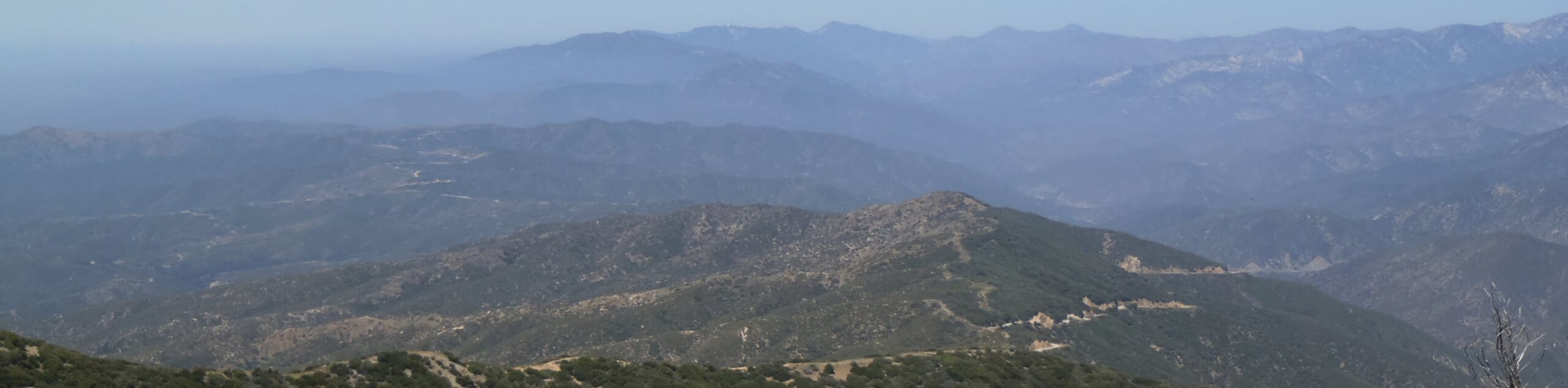
The Sunset Ridge Road Hike is a wonderful adventure in Southern California that follows a fire road past Sunset Peak. While out on the trail, you will climb uphill along the road as it traverses a ridge and passes below the summit of Sunset Peak to provide some nice views of the surrounding landscape. Hikers should take note that seasonal road closures can limit access to this trailhead at certain times of the year.
Getting there
The trailhead for the Sunset Ridge Road Hike can be found at the Sunset Ridge Trailhead along Glendora Ridge Road.

About
| Backcountry Campground | No |
| When to do | Year-Round |
| Pets allowed | Yes - On Leash |
| Family friendly | Older Children only |
| Route Signage | Average |
| Crowd Levels | Moderate |
| Route Type | Out and back |
Sunset Ridge Road Hike
Elevation Graph
Weather
Sunset Ridge Road Hike Description
For those who want a scenic SoCal hiking adventure that is straightforward and close to the city, the Sunset Ridge Road Hike is a great option to explore. There is a bit of an uphill climb along this route, but the easy to navigate fire road makes it suitable for casual hikers.
Setting out from the Sunset Ridge Trailhead, you will make your way to the southwest and follow along the fire road as it climbs further uphill. Take some time to appreciate the views overlooking the surrounding landscape, as you work below the summit of Sunset Peak and take a route more to the west.
Here, there will be a stretch of forest that offers a small amount of shade from the sun, before you arrive at the endpoint of the hike. After pausing for a break, simply head back along the same route to return to the trailhead.
Similar hikes to the Sunset Ridge Road Hike hike

Mount Zion via Lower Winter Creek Trail Loop
The Mount Zion via Lower Winter Creek Trail Loop is a physically demanding Southern California adventure that features waterfall and…

Castaic Falls Trail
Hiking the Castaic Falls Trail is a fun little adventure in the Angeles National Forest that features a charming waterfall.…

Graveyard Truck Trail
Hiking the Graveyard Truck Trail is a pleasant experience in Southern California that features easy-going terrain and views of the…
Comments