Stoddard Peak Hike
View Photos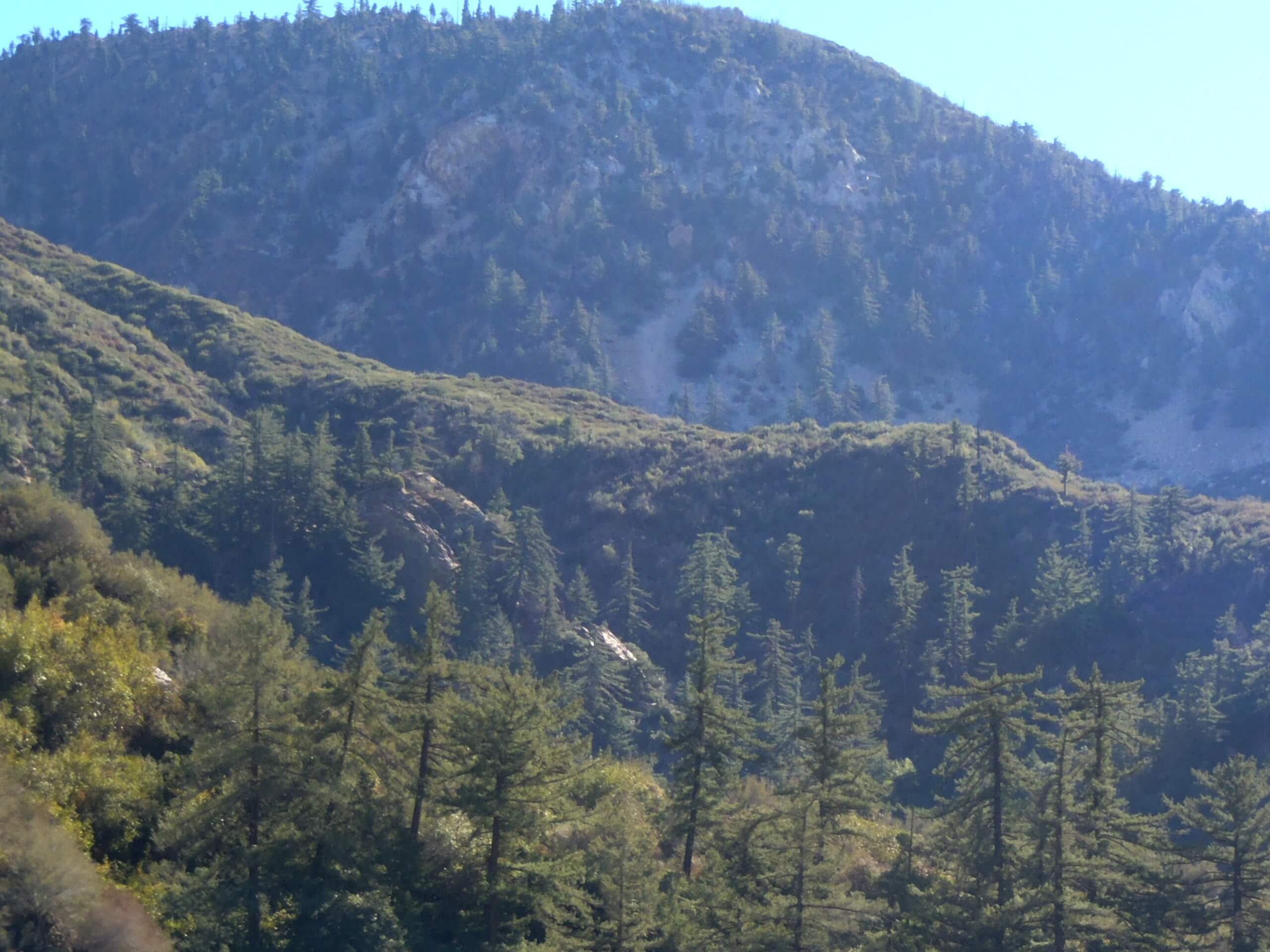
Stoddard Peak Hike
Difficulty Rating:
The Stoddard Peak Hike is a great excursion for those times when you feel like spending the day exploring Angeles National Forest. While out on the trail, you will steadily gain elevation into the mountains, summiting two false peaks before arriving at the top of Stoddard Peak itself. Make sure that you wear proper hiking boots with good support, as the upper portion of this trail features a mini scramble to reach the summit of Stoddard Peak.
Getting there
The trailhead for this hike can be found just off Mt Baldy Road, on the Barrett Stoddard Truck Trail.

About
| Backcountry Campground | No |
| When to do | Year-Round |
| Pets allowed | Yes - On Leash |
| Family friendly | Older Children only |
| Route Signage | Average |
| Crowd Levels | Moderate |
| Route Type | Out and back |
Stoddard Peak Hike
Elevation Graph
Weather
Stoddard Peak Hike Description
For those adventurers who want to get out and explore the mountains, but don’t want to face a long or technically challenging trail, the Stoddard Peak Hike is a great option to explore. Make sure that you purchase a valid adventure pass prior to beginning your excursion.
Setting out from the trailhead, you will make your way initially to the southeast along the Barrett Stoddard Truck Trail, where you will cross over San Antonio Creek. Eventually, this route will bend more directly to the south and begin climbing further uphill into the mountains.
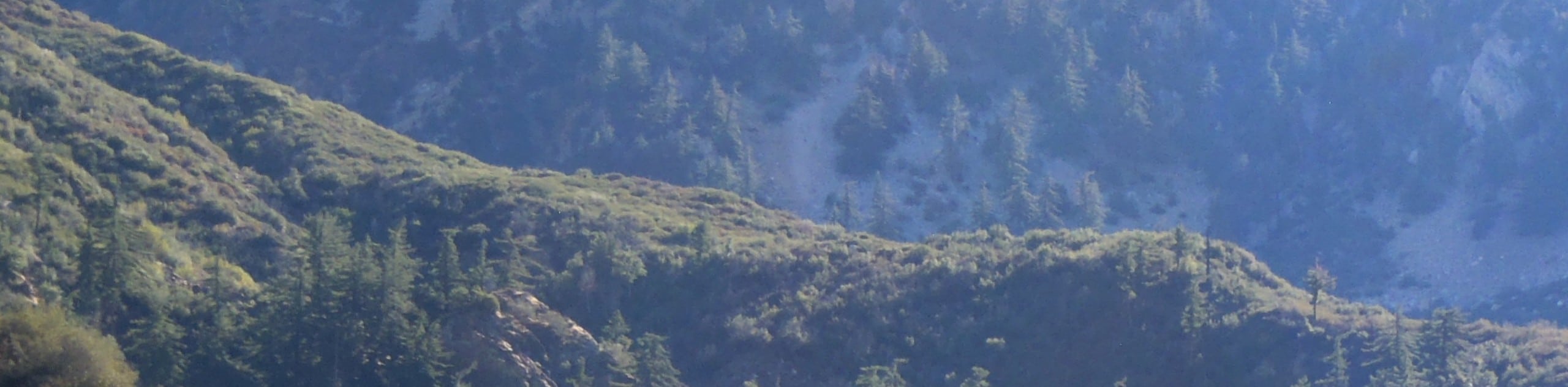
Take some time to appreciate the sweeping landscape views, as you steadily climb the mountainside and make a brief scramble up to the top of Stoddard Peak. Once there, you can pause for a break while atop your mountain perch, before navigating the same trail back down to your vehicle below.
Similar hikes to the Stoddard Peak Hike hike

Mount Zion via Lower Winter Creek Trail Loop
The Mount Zion via Lower Winter Creek Trail Loop is a physically demanding Southern California adventure that features waterfall and…

Castaic Falls Trail
Hiking the Castaic Falls Trail is a fun little adventure in the Angeles National Forest that features a charming waterfall.…

Graveyard Truck Trail
Hiking the Graveyard Truck Trail is a pleasant experience in Southern California that features easy-going terrain and views of the…
Comments