First Water via Mount Wilson Trail
View Photos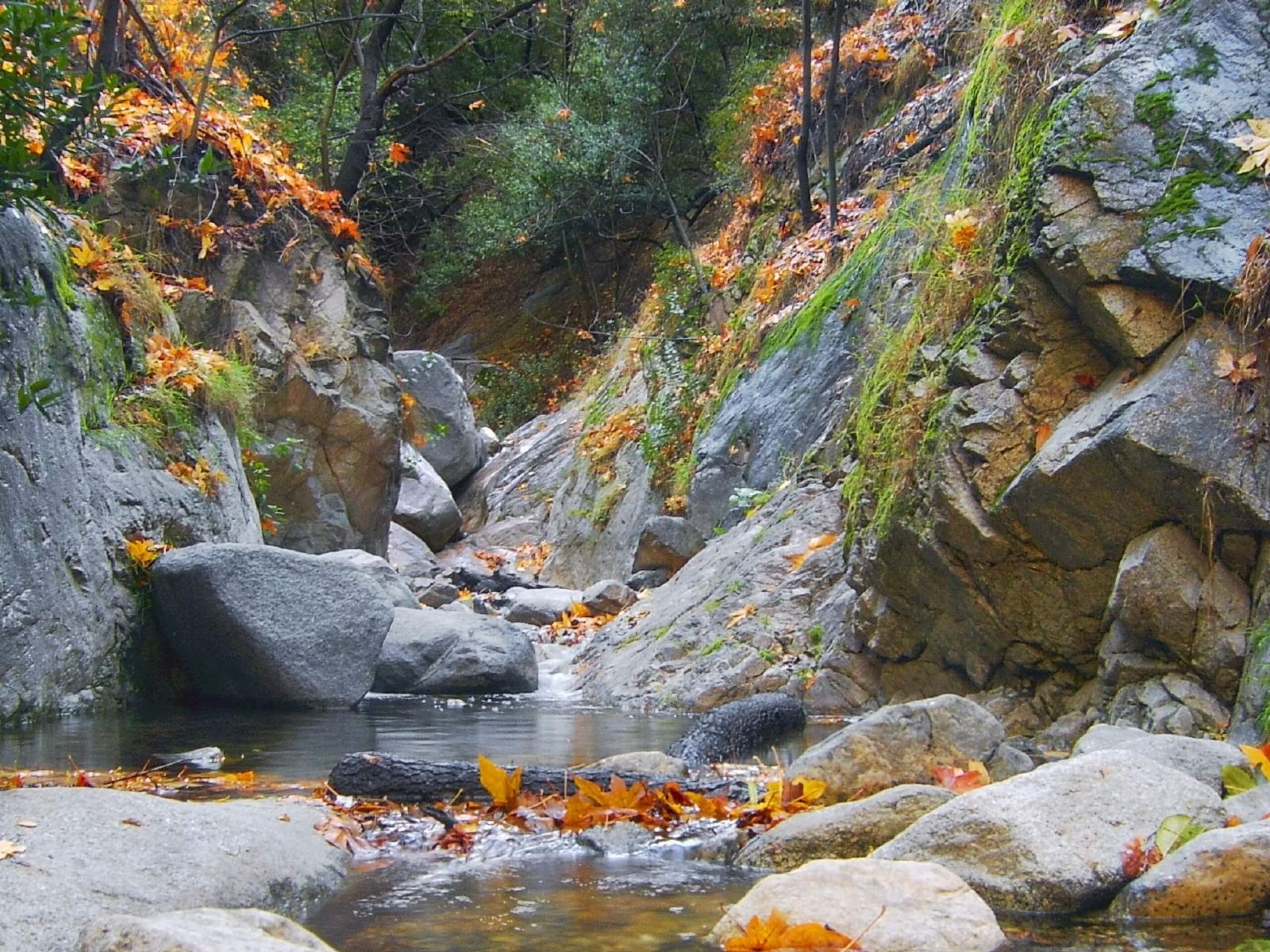
First Water via Mount Wilson Trail
Difficulty Rating:
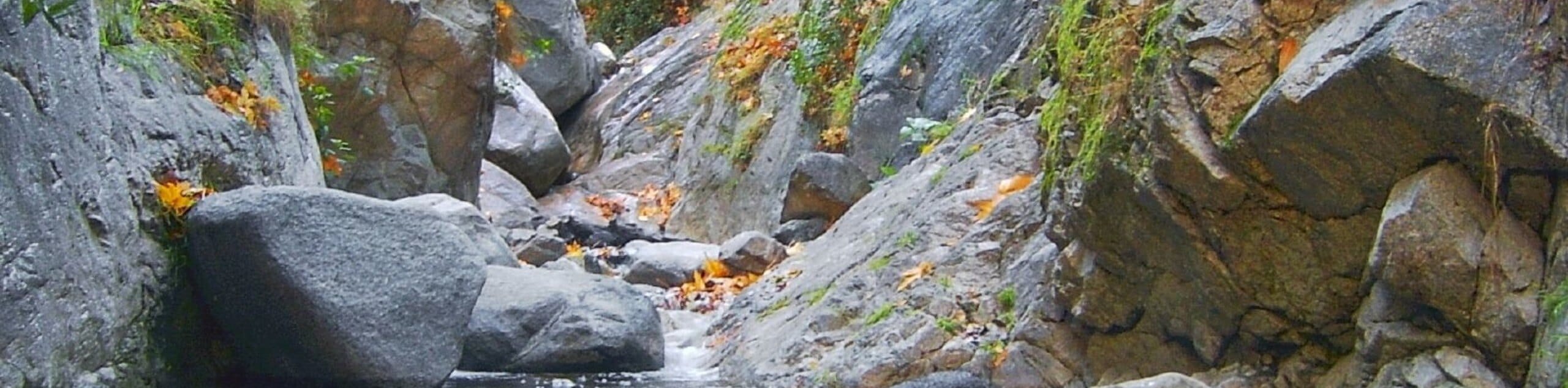
The First Water via Mount Wilson Trail is a great little adventure in the Angeles National Forest of California that features scenic canyon views. While out on the trail, you will make your way into the mountains north of Sierra Madre, before reaching the end point next to the relaxing sound of running waters at First Water. Make sure to display your adventure pass in your vehicle before beginning your excursion.
Getting there
The trailhead for this hike can be found at Lizzie’s Trail Inn along E Miramonte Avenue in Sierra Madre.

About
| Backcountry Campground | No |
| When to do | Year-Round |
| Pets allowed | Yes - On Leash |
| Family friendly | Yes |
| Route Signage | Average |
| Crowd Levels | High |
| Route Type | Out and back |
First Water via Mount Wilson Trail
Elevation Graph
Weather
First Water via Mount Wilson Trail Description
Featuring just the right combination of overall distance and a moderate elevation gain, the hike to First Water via the Mount Wilson Trail is a great way to spend the afternoon outdoors in Southern California.
Setting out from the trailhead, you will follow the road north for a short distance, before picking up the Mount Wilson Trail on your left and following it into the canyon. Here, you will traverse the undulating mountain terrain, before reaching your turnaround point at First Water.
Before making the return leg, pause for a moment and relax amongst the sound of the running water, before completing your journey with a quick hike down to your vehicle.
Similar hikes to the First Water via Mount Wilson Trail hike

Mount Zion via Lower Winter Creek Trail Loop
The Mount Zion via Lower Winter Creek Trail Loop is a physically demanding Southern California adventure that features waterfall and…

Castaic Falls Trail
Hiking the Castaic Falls Trail is a fun little adventure in the Angeles National Forest that features a charming waterfall.…

Graveyard Truck Trail
Hiking the Graveyard Truck Trail is a pleasant experience in Southern California that features easy-going terrain and views of the…
Comments