San Gabriel Peak Trail
View Photos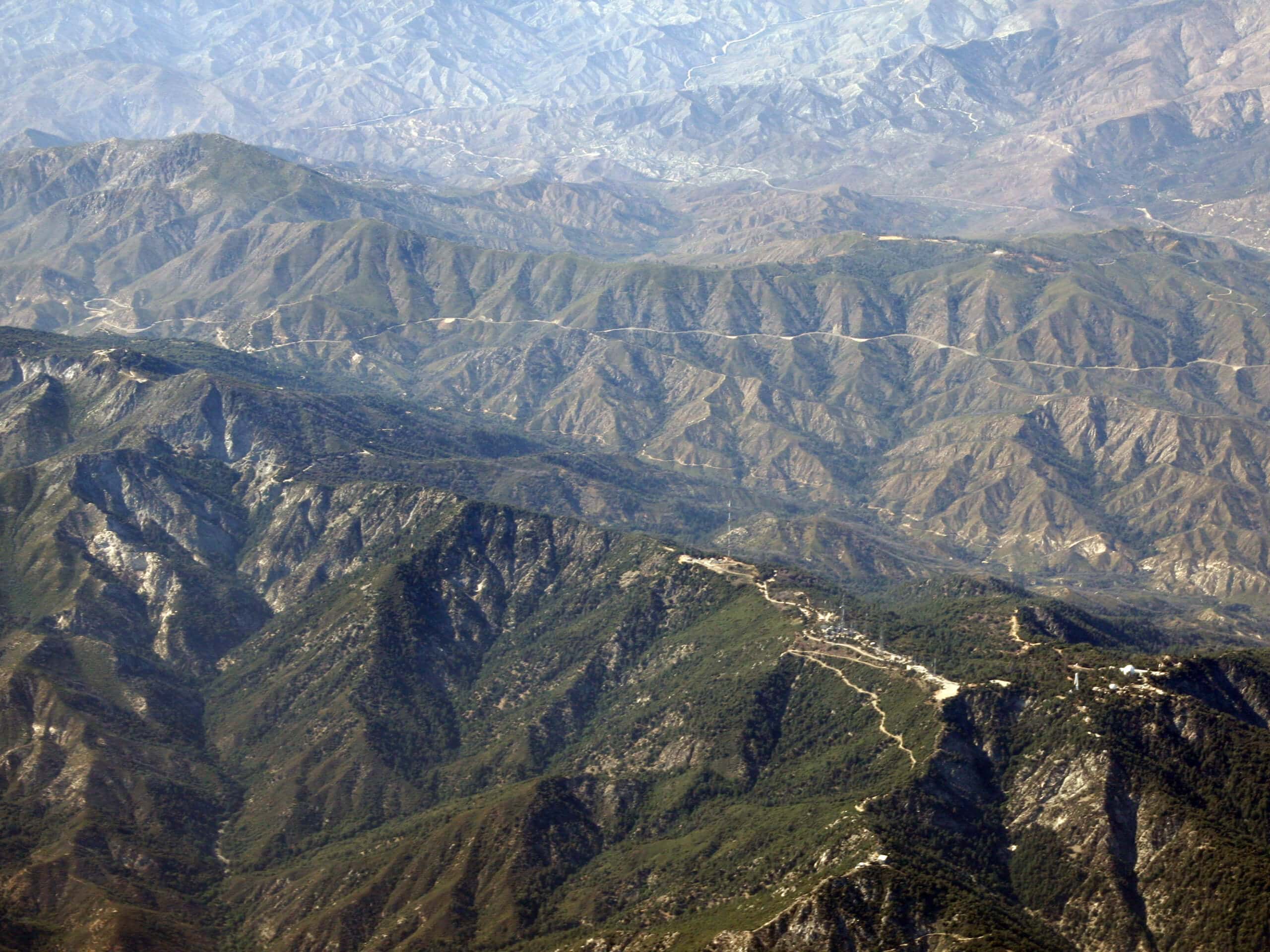
San Gabriel Peak Trail
Difficulty Rating:
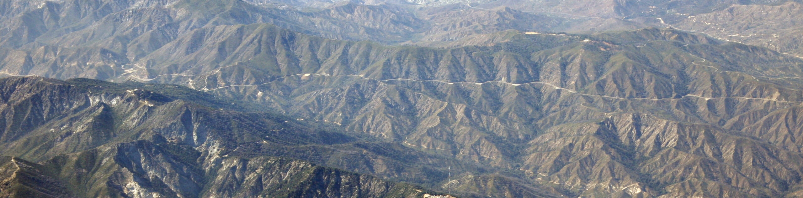
The San Gabriel Peak Trail is a short, but rugged, adventure in the Angeles National Forest that will take you up to a scenic summit viewpoint. While out on the trail, you will traverse a gravel road and break off onto a footpath with loose terrain, before making the final push uphill to the viewpoint to be inundated with stunning scenery. There is a fair amount of rugged and uneven terrain along this route, so bring sturdy footwear and hiking poles for stability.
Getting there
The San Gabriel Peak Trail can be accessed from Mount Wilson Red Box Road, just 2.3mi southeast of the Red Box Picnic Area.

About
| Backcountry Campground | No |
| When to do | Year-Round |
| Pets allowed | Yes - On Leash |
| Family friendly | Older Children only |
| Route Signage | Average |
| Crowd Levels | High |
| Route Type | Out and back |
San Gabriel Peak Trail
Elevation Graph
Weather
San Gabriel Peak Trail Description
If you are after a moderately challenging hiking route that features gorgeous mountain scenery and a short overall distance, then you should definitely explore the San Gabriel Peak Trail. If you enjoy this hike and want to further explore the area, you can always check out the Mount Disappointment and San Gabriel Peak Hike nearby for a longer experience.
Setting out from the trailhead, you will follow along the gravel expanse of Mount Lowe Road to the west, before turning off to the north along the San Gabriel Peak Trail. Here, you will follow the trail along the lower slope of the mountain, before turning back to the southeast en route to the summit.
Climbing uphill through some rugged and loose terrain, you will eventually be met with beautiful mountain views from the top of San Gabriel Peak. Once you have finished at the summit, turn back along the same trail and follow it back to your vehicle below to wrap up your adventure.
Similar hikes to the San Gabriel Peak Trail hike

Mount Zion via Lower Winter Creek Trail Loop
The Mount Zion via Lower Winter Creek Trail Loop is a physically demanding Southern California adventure that features waterfall and…

Castaic Falls Trail
Hiking the Castaic Falls Trail is a fun little adventure in the Angeles National Forest that features a charming waterfall.…

Graveyard Truck Trail
Hiking the Graveyard Truck Trail is a pleasant experience in Southern California that features easy-going terrain and views of the…
Comments