Mount Wilson Road to Idlehour Campground Hike
View Photos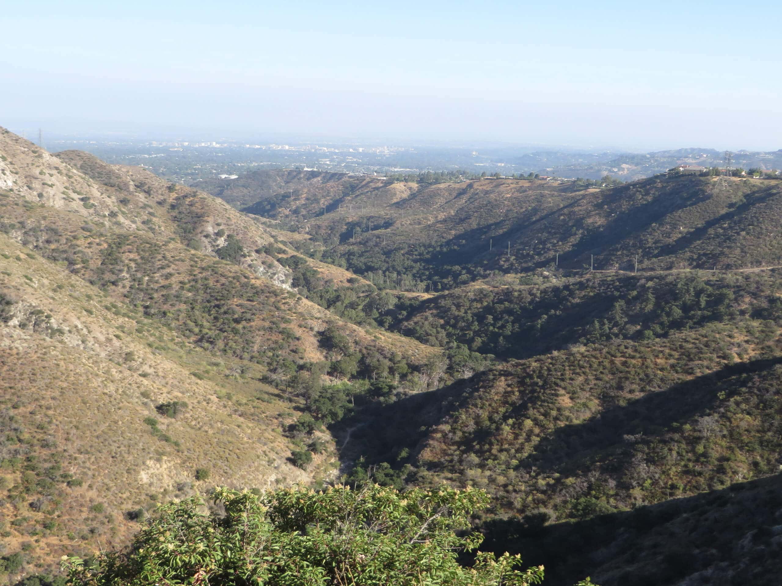
Mount Wilson Road to Idlehour Campground Hike
Difficulty Rating:
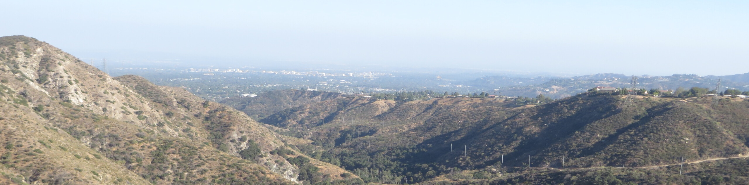
The Mount Wilson Road to Idlehour Campground Hike is a long and challenging excursion in Angeles National Forest that will take you to a few secluded backcountry campsites. While out on the trail, you will make your way through Eaton Canyon and climb uphill through the mountains, before arriving at the awesome Idlehour Campground along Eaton Creek. This hike can be done either as a lengthy day-hike, or can be extended into a multi-day backpacking trip by opting to stay at one of the campsites along the trail.
Getting there
The trailhead for the Mount Wilson Road to Idlehour Campground Hike can be found next to the Eaton Canyon Nature Center in Altadena.

About
| Backcountry Campground | Henninger Flats, Idlehour Campground |
| When to do | Year-Round |
| Pets allowed | Yes - On Leash |
| Family friendly | No |
| Route Signage | Average |
| Crowd Levels | Moderate |
| Route Type | Out and back |
Mount Wilson Road to Idlehour Campground Hike
Elevation Graph
Weather
Mount Wilson Road to Idlehour Campground Hike Description
While the Mount Wilson Road to Idlehour Campground Hike can certainly be completed as a long day hike for those who want to push themselves, the route really comes alive on a multi-day backpacking trip into the mountains. Either way, this is a fantastic trail that should not be ignored.
Setting out from the trailhead at the Eaton Canyon Nature Center, you will follow along the Eaton Canyon Trail as it passes through the beautiful terrain of the canyon to the northwest. Eventually, the trail will break off to the right and climb uphill through a series of switchbacks leading to the northeast.
After steadily climbing uphill into the mountains for some distance, you will pass by the Henninger Flats Campground and continue on to the northeast across the mountainous landscape. Here, you will traverse Esme Canyon and pass through some woodland terrain, before eventually arriving at the site of Idlehour Campground.
When you are ready to return, simply follow the same trail back to your vehicle below. If you enjoyed this hike and want to explore more trails in this area, try checking out the Eaton Canyon Trail for a shorter, more relaxed day-hike.
Similar hikes to the Mount Wilson Road to Idlehour Campground Hike hike

Mount Zion via Lower Winter Creek Trail Loop
The Mount Zion via Lower Winter Creek Trail Loop is a physically demanding Southern California adventure that features waterfall and…

Sunset Peak Alternate Approach Hike
The Sunset Peak Alternate Approach Hike is a great intermediate-length route in Southern California that features some gorgeous canyon views.…
Register Ridge to Mount San Antonio Hike
The Register Ridge to Mount San Antonio Hike is equal parts scenic and incredibly challenging. While out on the trail,…
Comments