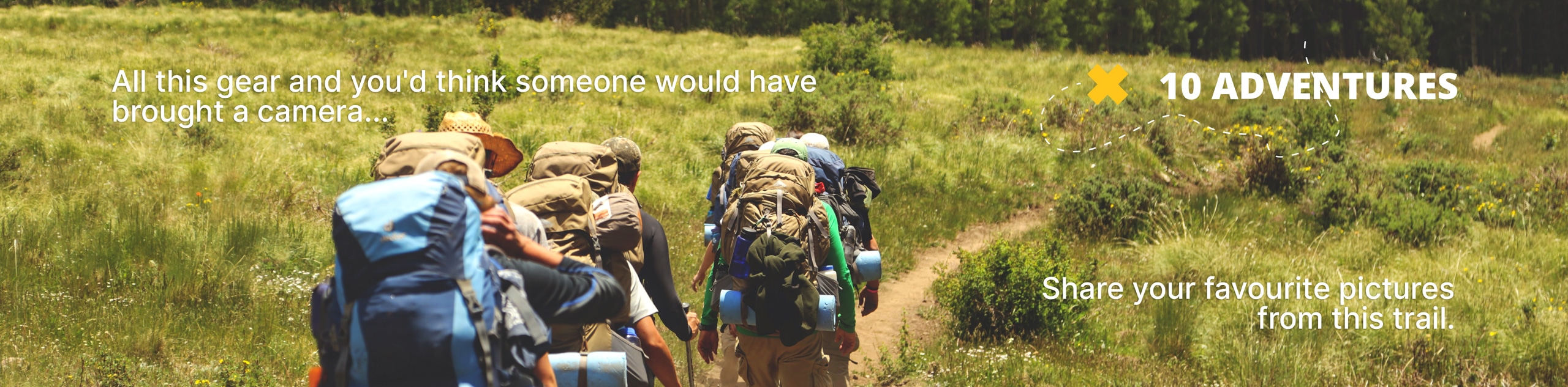
Rattlesnake Peak Trail
View Photos
Rattlesnake Peak Trail
Difficulty Rating:
Hiking the Rattlesnake Peak Trail is a rough and rugged outdoor experience in Southern California that will take you to the summit of the second most challenging peak in the Angeles National Forest. While out hiking the trail, you will traverse steep and overgrown paths that will take you up a ridgeline to the scenic summit of Rattlesnake Peak at 5814ft above sea level. Some sections of this trail are poorly marked and overgrown, so make sure to bring a GPS to help with navigation.
Getting there
The trailhead for this adventure can be found on Shoemaker Canyon Road.

About
| Backcountry Campground | No |
| When to do | Year-Round |
| Pets allowed | Yes - On Leash |
| Family friendly | No |
| Route Signage | Poor |
| Crowd Levels | Moderate |
| Route Type | Out and back |
Rattlesnake Peak Trail
Elevation Graph
Weather
Rattlesnake Peak Trail Description
Steep, overgrown, and lightly-traveled, the Rattlesnake Peak Trail is a great option for those who want a more secluded adventure. Make sure that you bring a GPS, plenty of water/snacks, and have your adventure pass displayed in your vehicle prior to setting out.
If you fancy a challenging climb in the San Gabriel Mountains but want to get away from the crowds that can be found on more popular trails, then this is certainly the route for you. Featuring sweeping views and a small chance of encountering other hikers, there is hardly a better option in the Angeles National Forest for the solitary adventurer!
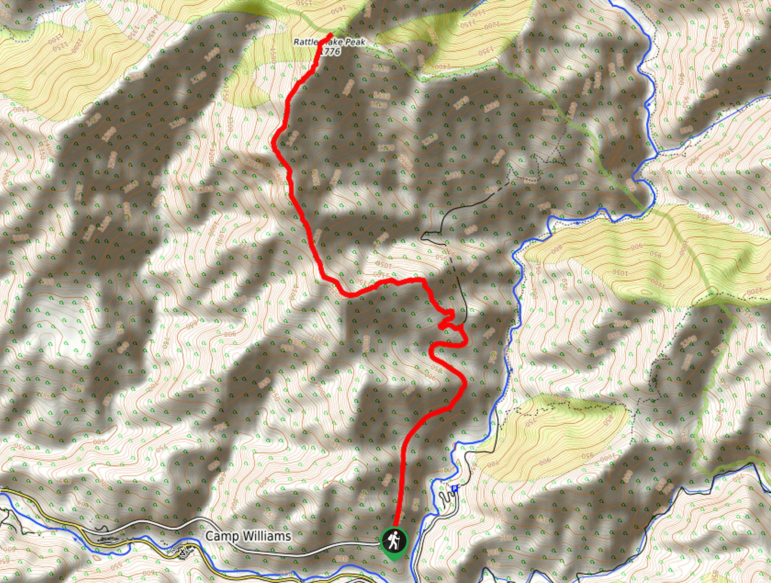
Setting out from the trailhead, you will continue following Shoemaker Canyon Road as it leads north for another 1.5mi. Here, you will turn left onto a footpath and begin climbing up the steep mountainside in a northwest direction.
From this point on you won’t find any more intersecting trails, so simply stick to the path and take your time traversing the steep and rugged terrain. As previously mentioned, there are some areas of overgrowth that are quite thick, so even though it is a fairly straightforward hike a GPS can still come in handy.
After a tough 2.6mi of uphill climbing, you will arrive at the summit viewpoint atop Rattlesnake Peak, where you will enjoy sweeping views across the undulating landscape of Angeles National Forest. To the northeast you should be able to spot Iron Mountain, which will likely be experiencing a much higher volume of foot traffic compared to the route you just traversed.
Once you have finished taking in the views, simply turn back and carefully retrace your steps down the mountainside to return to the trailhead where you began your adventure.
Trail Highlights
Rattlesnake Peak
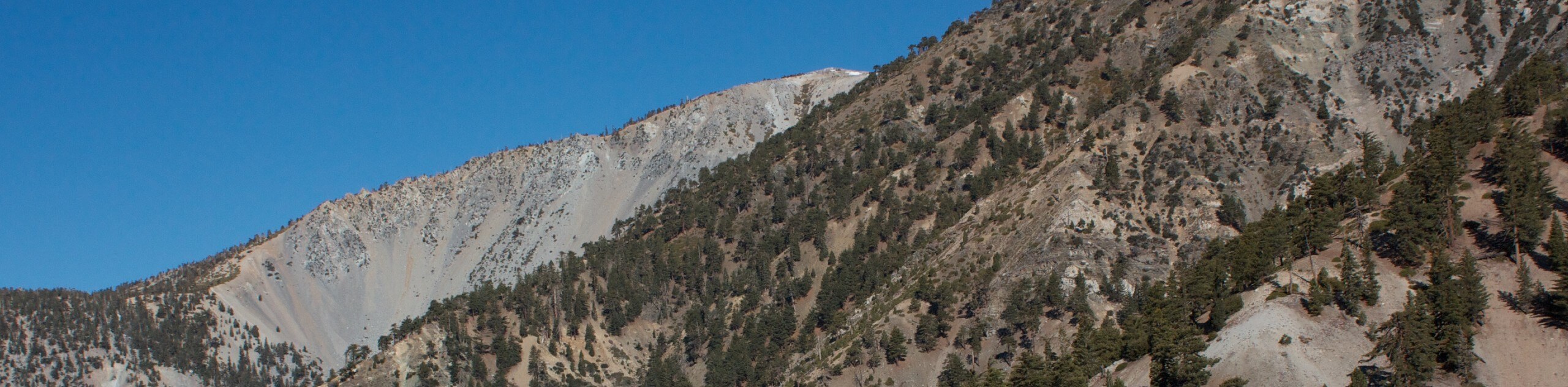
With an elevation of just 5814ft, Rattlesnake Peak is one of the smaller mountains in the San Gabriel Range; however, it is also one of the most challenging to hike. Thick brush and steep terrain make this a rugged adventure, and although you might run into the odd rattlesnake, they aren’t as common as the name would imply.
Frequently Asked Questions
Where is Rattlesnake Peak?
Rattlesnake Peak is a part of the San Gabriel Mountain Range that is located within Angeles National Forest. The trailhead can be found along Shoemaker Canyon Road.
Are dogs allowed on the Rattlesnake Peak Trail?
Yes, dogs are permitted on the Rattlesnake Peak Trail, although they must remain on a leash at all times.
Insider Hints
Wear proper hiking boots with good support.
Bring plenty of water and snacks to stay fueled.
A GPS tracker will come in handy when navigating poorly marked stretches of trail.
Similar hikes to the Rattlesnake Peak Trail hike

Mount Zion via Lower Winter Creek Trail Loop
The Mount Zion via Lower Winter Creek Trail Loop is a physically demanding Southern California adventure that features waterfall and…

Sunset Peak Alternate Approach Hike
The Sunset Peak Alternate Approach Hike is a great intermediate-length route in Southern California that features some gorgeous canyon views.…
Register Ridge to Mount San Antonio Hike
The Register Ridge to Mount San Antonio Hike is equal parts scenic and incredibly challenging. While out on the trail,…
Comments