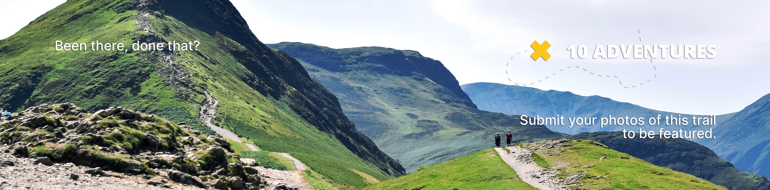
Poop Out Trail
View Photos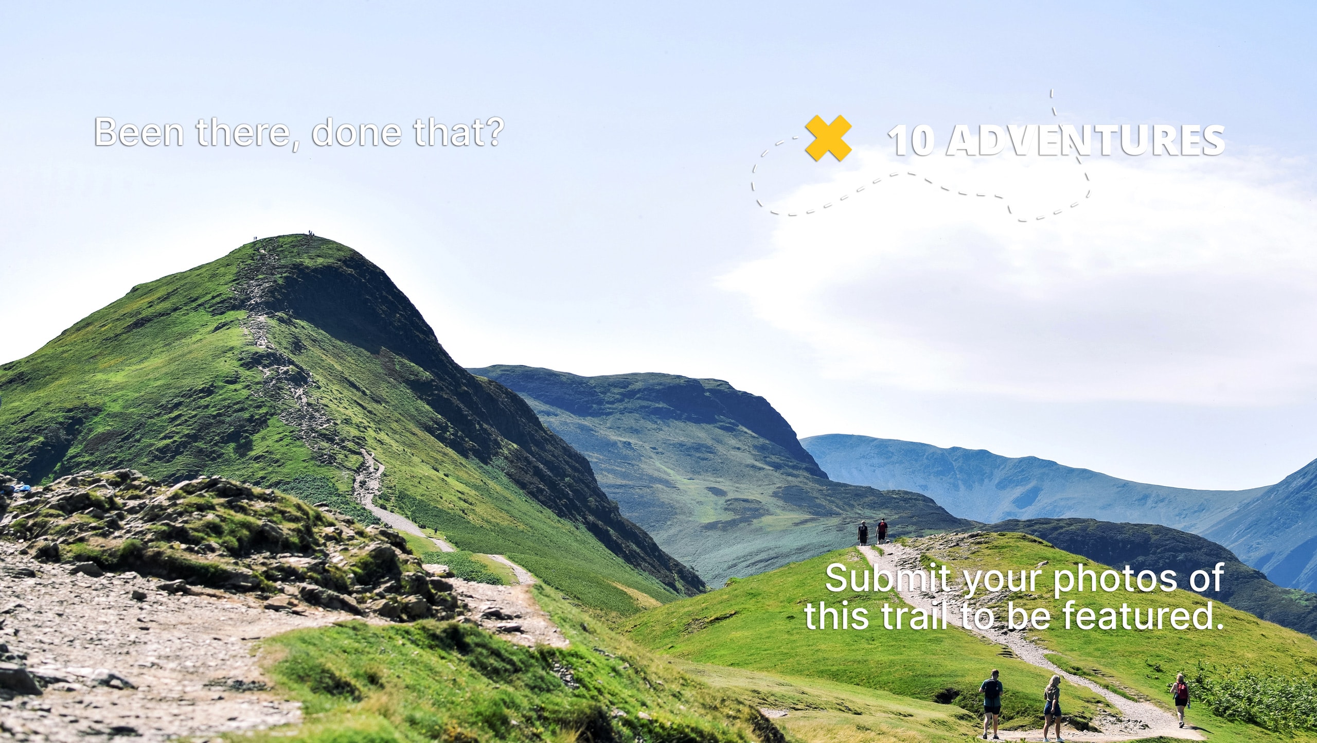
Poop Out Trail
Difficulty Rating:
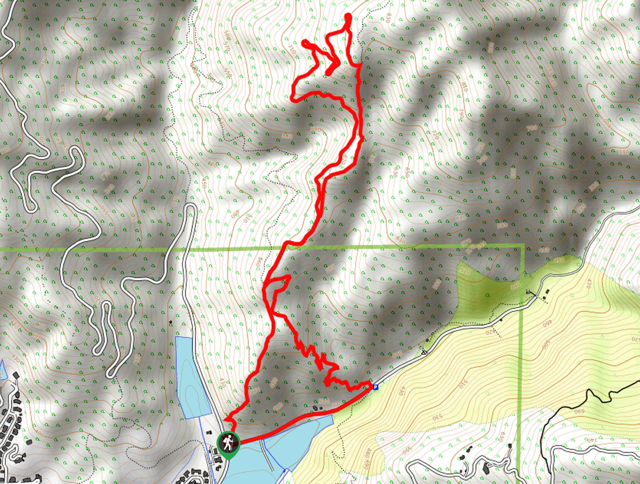
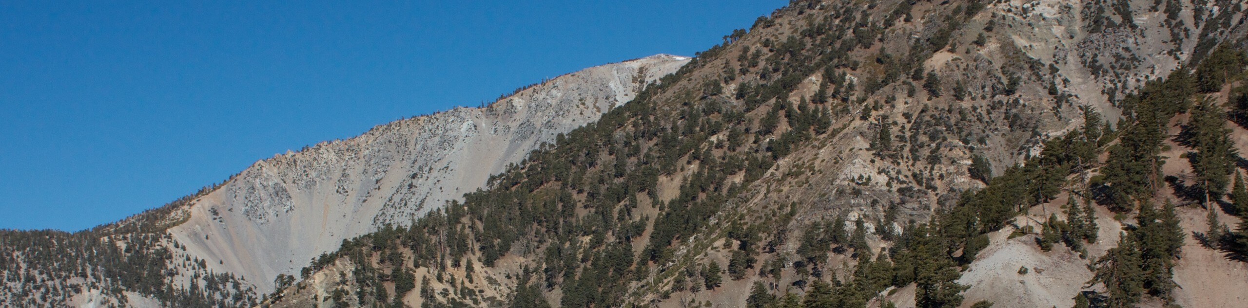
The Poop Out Trail is a tough hiking route in the Angeles National Forest of Southern California that will be sure to get your legs burning! While out on the trail, you will steadily gain elevation and traverse several rocky scramble sections, before looping around on the return. Make sure to bring plenty of water for this one!
Getting there
The trailhead for this route can be found along Big Dalton Canyon Road near the fire station.

About
| Backcountry Campground | No |
| When to do | Year-Round |
| Pets allowed | Yes - On Leash |
| Family friendly | Older Children only |
| Route Signage | Average |
| Crowd Levels | High |
| Route Type | Circuit |
Poop Out Trail
Elevation Graph
Weather
Poop Out Trail Description
If you are after a strong challenge on the trails, then the Poop Out Hike will be sure to give you a run for your money! Although it isn’t overly long, this route is steep and rocky, making it ideal for those looking to push it to the limit.
Setting out from the trailhead, you will make your way to the northeast and steadily gain elevation into the mountains. Here, you will eventually need to traverse some rocky stretches of trail that will require you to scramble at times.
After taking in the views overlooking the city and surrounding wilderness, follow the trail as it loops around and gradually descends the hillside to return to the trailhead where you began.
Similar hikes to the Poop Out Trail hike

Mount Zion via Lower Winter Creek Trail Loop
The Mount Zion via Lower Winter Creek Trail Loop is a physically demanding Southern California adventure that features waterfall and…

Sunset Peak Alternate Approach Hike
The Sunset Peak Alternate Approach Hike is a great intermediate-length route in Southern California that features some gorgeous canyon views.…
Register Ridge to Mount San Antonio Hike
The Register Ridge to Mount San Antonio Hike is equal parts scenic and incredibly challenging. While out on the trail,…
Comments