
Haines Canyon to Mount Lukens Trail
View Photos
Haines Canyon to Mount Lukens Trail
Difficulty Rating:
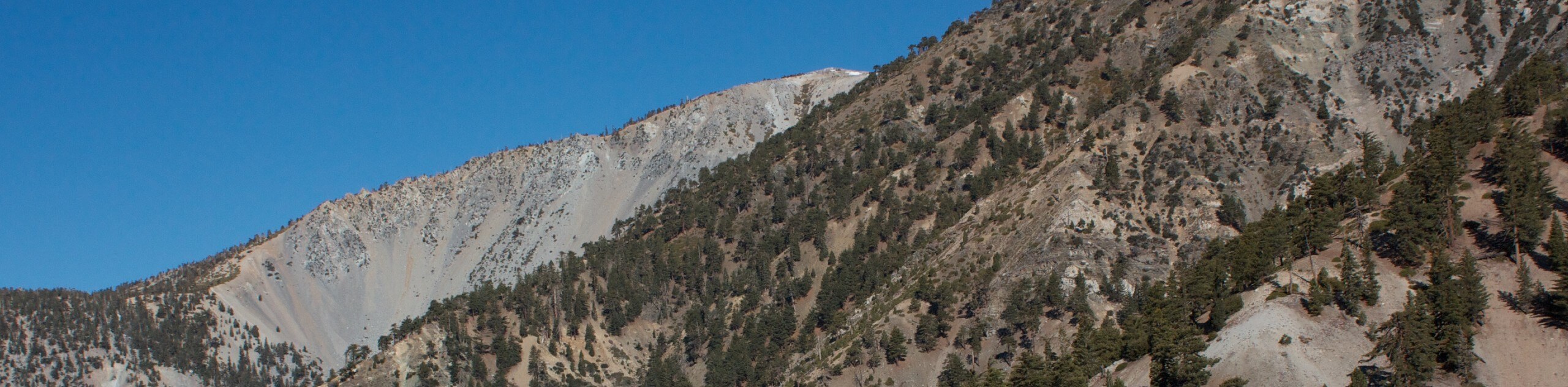
The Haines Canyon to Mount Lukens Trail is a challenging uphill hike that will take you into the mountains near Tujunga, California. While out on the trail, you will steadily gain elevation and increasingly beautiful views, as you work your way through the undulating terrain alongside other hikers and mountain bike enthusiasts. Be sure to arrive prepared and have your adventure pass displayed in your vehicle prior to starting your hike.
Getting there
The starting point for this hike can be found at the end of Haines Canyon Avenue in Tujunga.

About
| Backcountry Campground | No |
| When to do | Year-Round |
| Pets allowed | Yes - On Leash |
| Family friendly | No |
| Route Signage | Average |
| Crowd Levels | Moderate |
| Route Type | Lollipop |
Haines Canyon to Mount Lukens Trail
Elevation Graph
Weather
Haines Canyon to Mount Lukens Trail Description
Hiking the Haines Canyon to Mount Lukens Trail is a fantastic outdoor activity that will be sure to get your heart-rate up, so be sure to bring plenty of water and take your time reveling in the scenic views. Hikers should take note that this route is also utilized by trail runners and mountain bike enthusiasts, so be sure to allow others enough room to safely pass by.
Setting out from the trailhead, you will make your way to the northeast past a basin on your right and through several gates. Eventually, you will arrive at a junction with the Haines Canyon Spur, where you can choose to follow the route in either direction.
For the purpose of this guide, head to the left and follow the trail as it runs alongside Haines Creek. Continuing uphill to the east, you will eventually reach Mount Lukens, where you can take in the scenic views of the surrounding landscape. From here, head back to the west to begin your descent, keeping left at the junction along the road to take an alternate route back to the trailhead.
Similar hikes to the Haines Canyon to Mount Lukens Trail hike

Mount Zion via Lower Winter Creek Trail Loop
The Mount Zion via Lower Winter Creek Trail Loop is a physically demanding Southern California adventure that features waterfall and…

Sunset Peak Alternate Approach Hike
The Sunset Peak Alternate Approach Hike is a great intermediate-length route in Southern California that features some gorgeous canyon views.…
Register Ridge to Mount San Antonio Hike
The Register Ridge to Mount San Antonio Hike is equal parts scenic and incredibly challenging. While out on the trail,…
Comments