Mount Lukens via Stone Canyon Hike
View Photos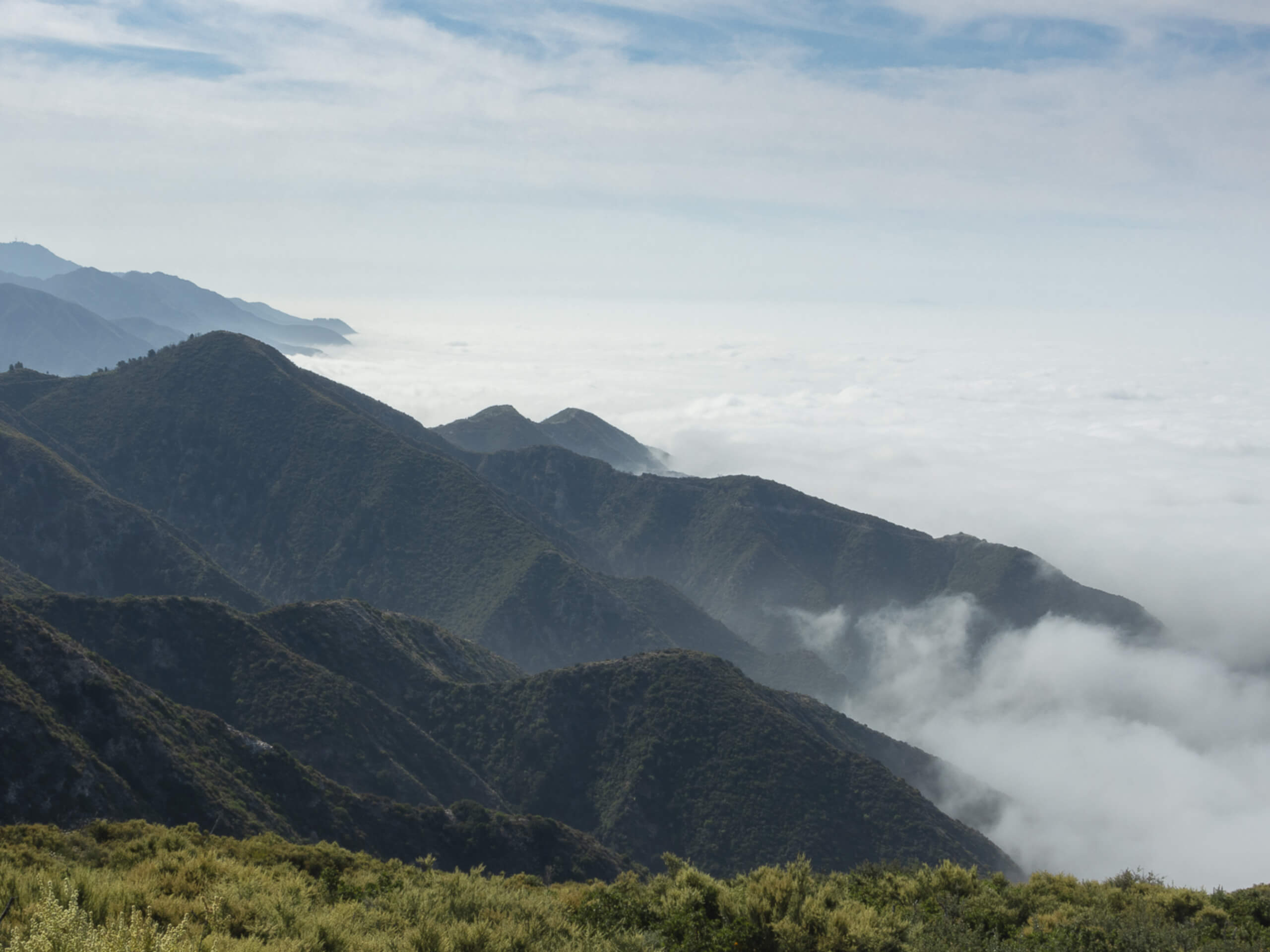
Mount Lukens via Stone Canyon Hike
Difficulty Rating:
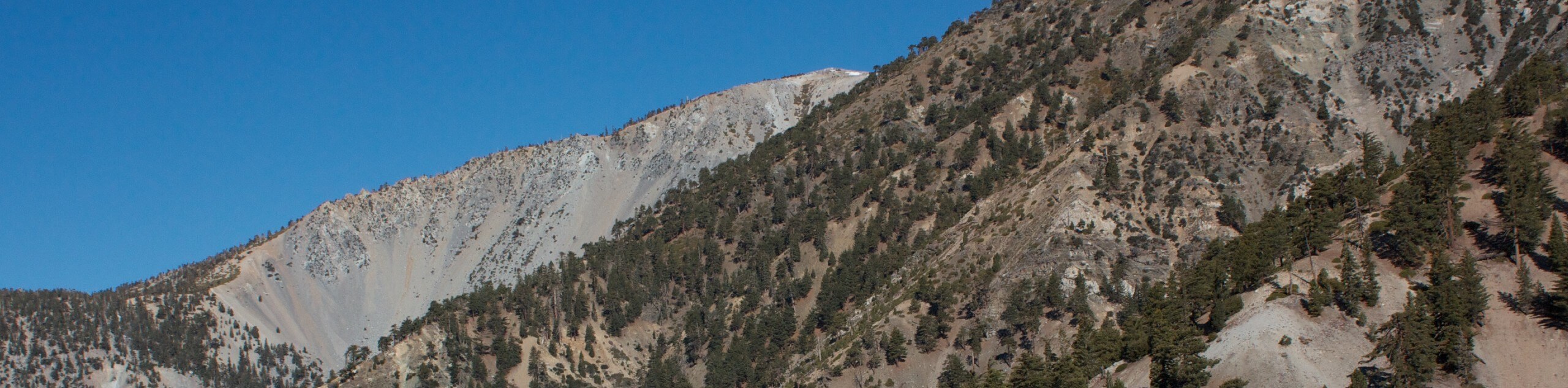
The Mount Lukens via Stone Canyon Hike is a rough and rugged adventure in the Angeles National Forest that follows the toughest route up to the summit. While out on the trail, you will cross over Big Tujunga River, before making an unrelenting climb through switchbacks to reach the stunning viewpoints at the top of Mount Lukens. Remember to display your adventure pass in your vehicle prior to setting out on your hiking excursion.
Getting there
The trailhead for this hike can be found at the Stone Canyon Trailhead along Stonyvale Road.

About
| Backcountry Campground | No |
| When to do | Year-Round |
| Pets allowed | Yes - On Leash |
| Family friendly | No |
| Route Signage | Average |
| Crowd Levels | Moderate |
| Route Type | Out and back |
Mount Lukens via Stone Canyon Hike
Elevation Graph
Weather
Mount Lukens via Stone Canyon Hike Description
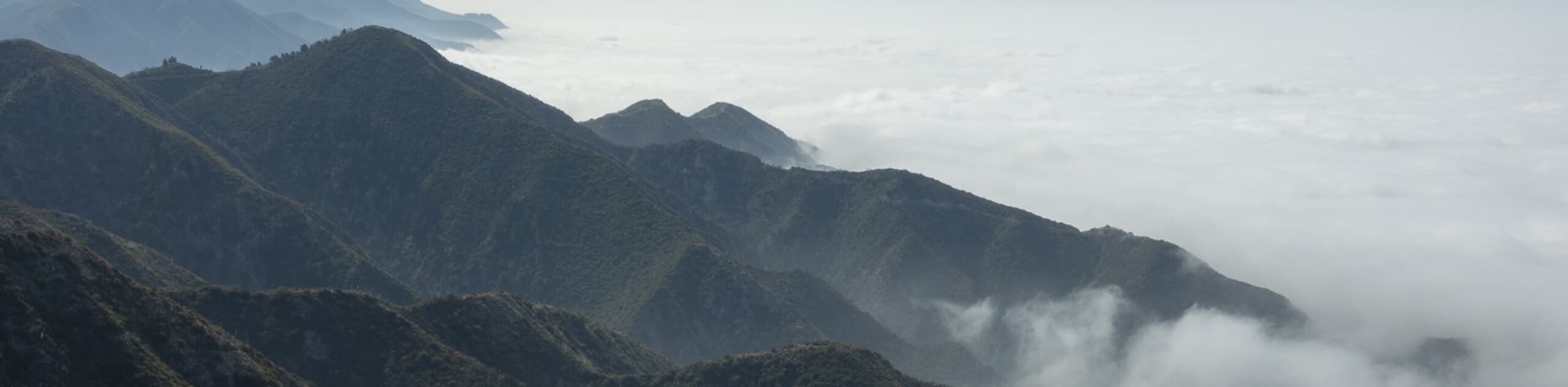
While there are several other routes that will take you to the summit of Mount Lukens, this trail is arguably the most challenging, as it features a fairly unrelenting climb for the entirety of its length.
Setting out from the parking lot near the picnic area, head south to cross over the Big Tujunga River. Here, the trail will briefly follow along the river, before turning south for a rough and rugged climb.
As you gain elevation, you will pass through a series of switchbacks and experience some lovely landscape views, before arriving at the summit of Mount Lukens. After reveling in the scenery, simply head back down along the steep trail to return to your vehicle below.
Similar hikes to the Mount Lukens via Stone Canyon Hike hike

Mount Zion via Lower Winter Creek Trail Loop
The Mount Zion via Lower Winter Creek Trail Loop is a physically demanding Southern California adventure that features waterfall and…

Sunset Peak Alternate Approach Hike
The Sunset Peak Alternate Approach Hike is a great intermediate-length route in Southern California that features some gorgeous canyon views.…
Register Ridge to Mount San Antonio Hike
The Register Ridge to Mount San Antonio Hike is equal parts scenic and incredibly challenging. While out on the trail,…
Comments