Mount Lowe Canyon Loop Trail
View Photos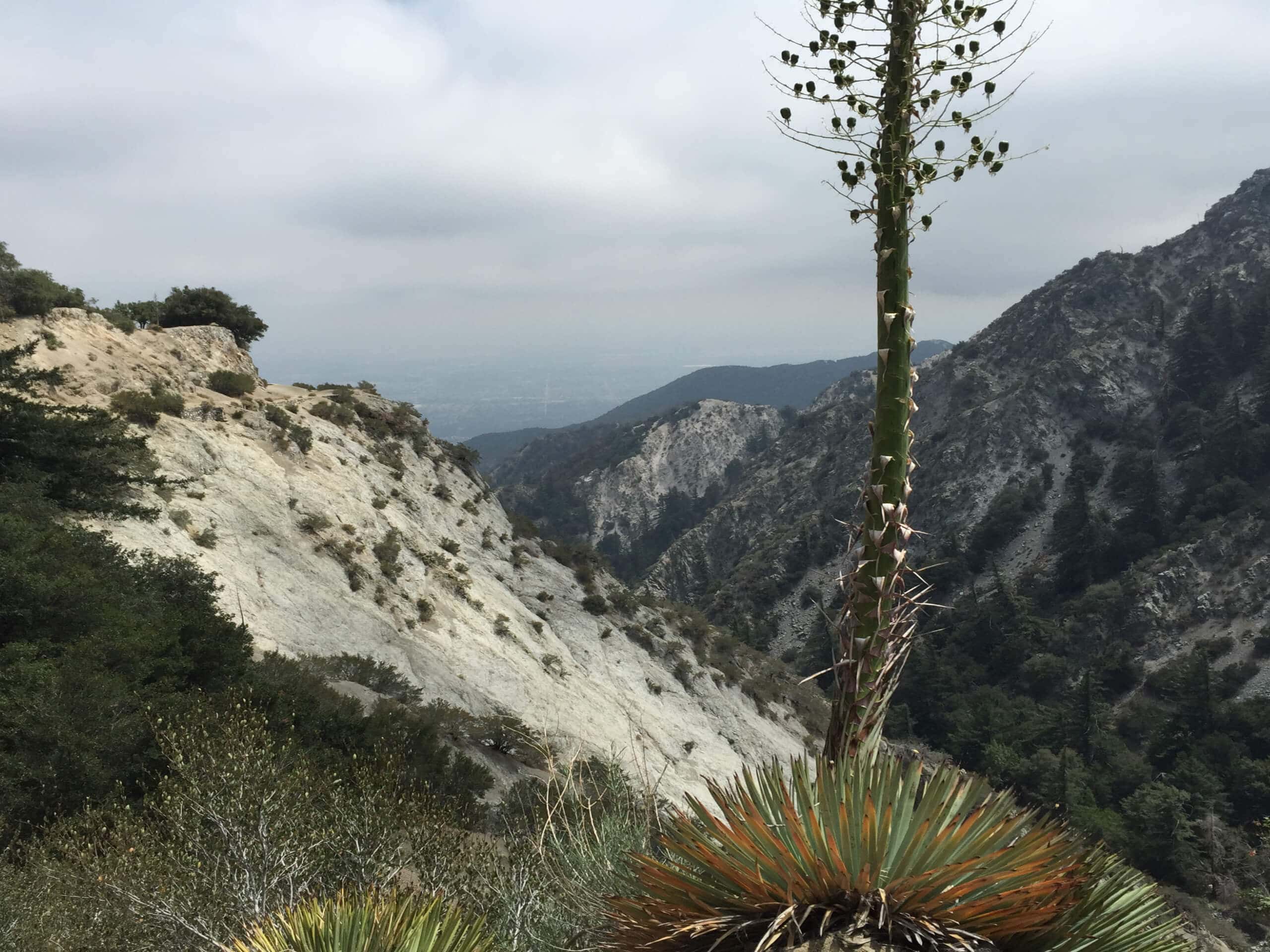
Mount Lowe Canyon Loop Trail
Difficulty Rating:
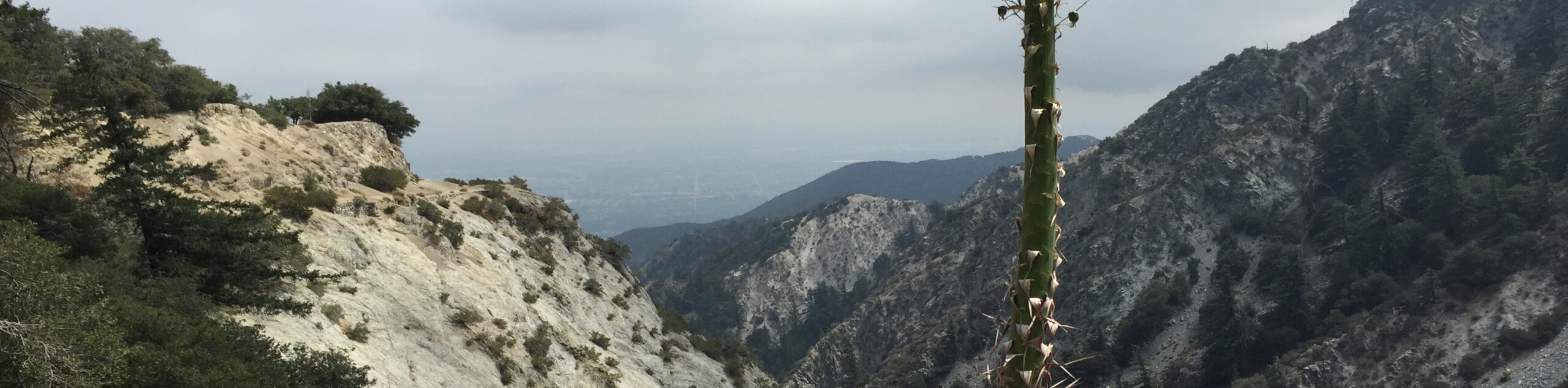
The Mount Lowe Canyon Loop Trail is a fun little adventure in the Angeles National Forest that will take you through a scenic creekside setting. While out on the trail, you will follow along the Mount Lowe Motorway, before descending to the edge of Millard Creek for a view of Millard Falls. Make sure that you have your adventure pass displayed in your car prior to beginning your hike.
Getting there
The trailhead for this hike can be found at the junction between Chaney Trail and the Mount Lowe Motorway, just north of Altadena, California.

About
| Backcountry Campground | Millard Camp |
| When to do | Year-Round |
| Pets allowed | Yes - On Leash |
| Family friendly | Yes |
| Route Signage | Average |
| Crowd Levels | Moderate |
| Route Type | Lollipop |
Mount Lowe Canyon Loop Trail
Elevation Graph
Weather
Mount Lowe Canyon Loop Trail Description
If you are after a short adventure in Southern California that still features a bit of elevation gain and some beautiful waterfall views, then the Mount Lowe Canyon Loop Trail is a fantastic route to explore.
Setting out from the trailhead, you will make your way northeast along the Mount Lowe Motorway, before branching off on the Sunset Ridge Trail and following it downhill.
Here, you will make your way to the edge of Millard Creek, where you will enjoy some lovely canyon views that include the Millard Falls. Continue along the trail to the southwest as it runs alongside Millard Creek, and you will eventually arrive back at the trailhead where you began.
Similar hikes to the Mount Lowe Canyon Loop Trail hike

Mount Zion via Lower Winter Creek Trail Loop
The Mount Zion via Lower Winter Creek Trail Loop is a physically demanding Southern California adventure that features waterfall and…

Castaic Falls Trail
Hiking the Castaic Falls Trail is a fun little adventure in the Angeles National Forest that features a charming waterfall.…

Graveyard Truck Trail
Hiking the Graveyard Truck Trail is a pleasant experience in Southern California that features easy-going terrain and views of the…
Comments