San Gabriel Peaks Hike
View Photos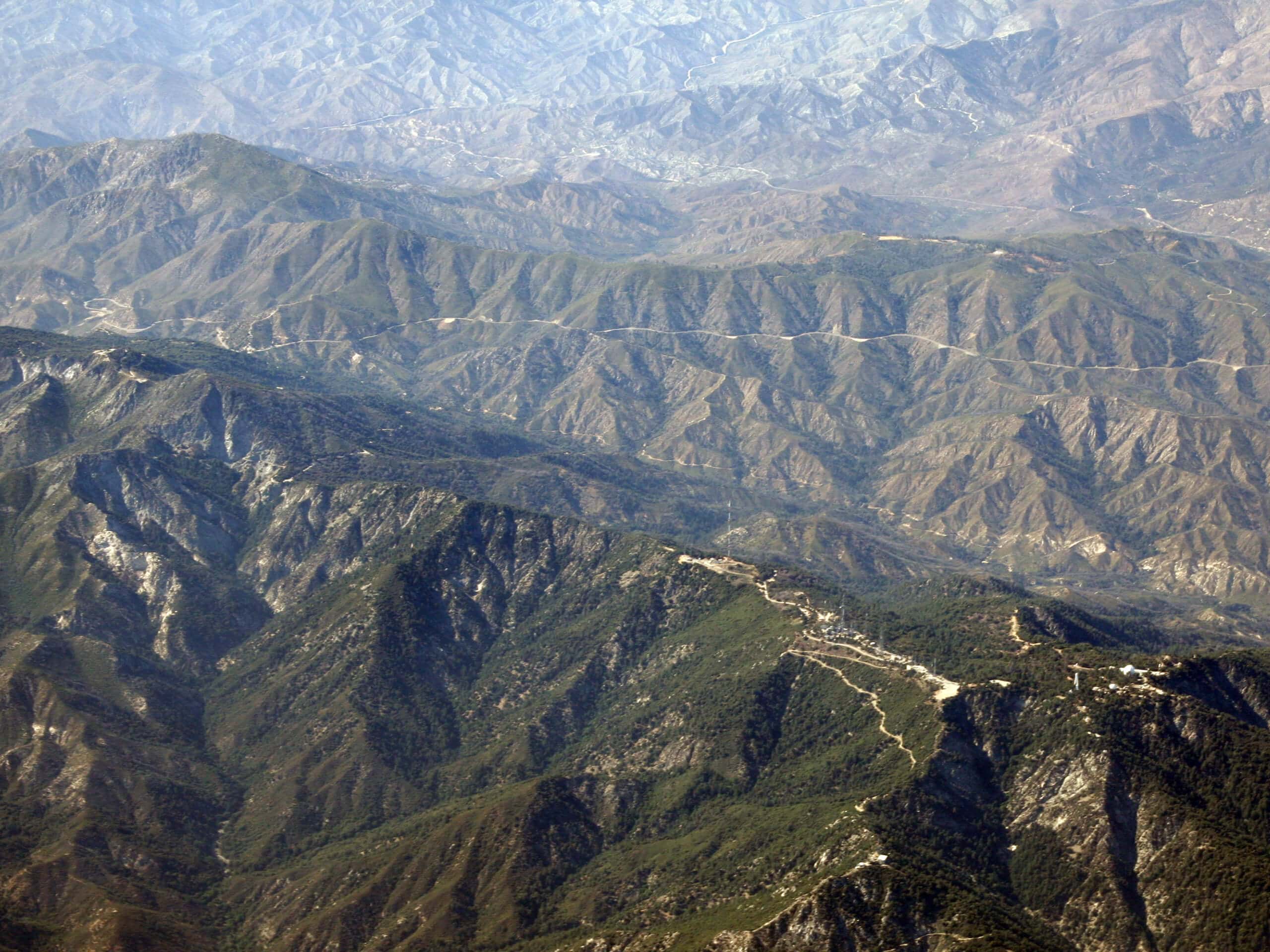
San Gabriel Peaks Hike
Difficulty Rating:
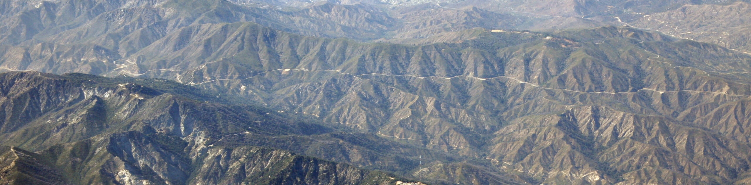
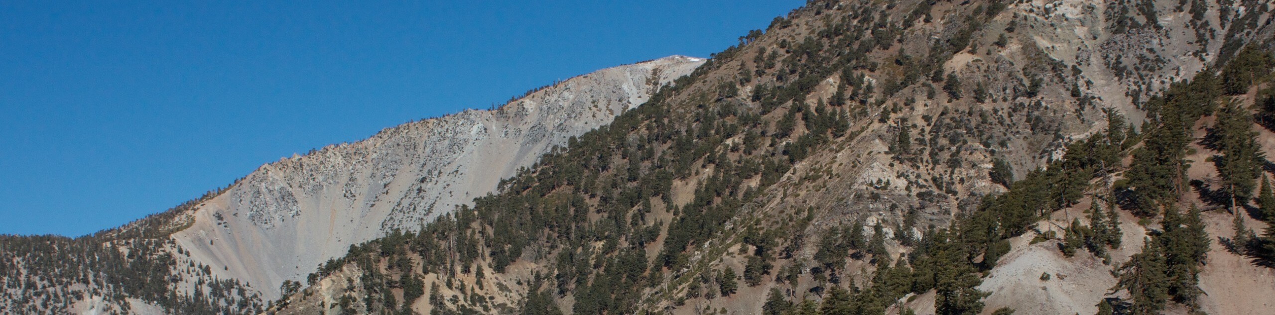
The San Gabriel Peaks Hike is a tough, but beautiful hike in the Angeles National Forest that will take you to the top of four rugged mountain peaks. While out on the trail, you will climb up to the top of San Gabriel Peak, Mount Disappointment, Mount Markham, and Mount Lowe, before returning along the same trail. Be sure to display your adventure pass in your vehicle prior to starting your hike.
Getting there
The starting point for this adventure can be found at the Eaton Saddle on Mount Wilson Red Box Road.

About
| Backcountry Campground | No |
| When to do | Year-Round |
| Pets allowed | Yes - On Leash |
| Family friendly | Older Children only |
| Route Signage | Average |
| Crowd Levels | High |
| Route Type | Out and back |
San Gabriel Peaks Hike
Elevation Graph
Weather
San Gabriel Peaks Hike Description
Featuring the ascent of four summits and some beautifully scenic views, the San Gabriel Peaks Hike is an awesome excursion to undertake if you are looking to push your limits or set out on a day of peak bagging.
From the trailhead at Eaton Saddle, you will make your way west into the Markham Saddle and turn right along the trail to continue north. Here, you will push on to the summit viewpoints atop San Gabriel Peak and Mount Disappointment, before descending back into the saddle.
Following a trail that runs southwest alongside the Mount Lowe Motorway, you will eventually climb further uphill to the summits of Mount Markham and Mount Lowe for some more incredible views. After takin gin the scenery, simply retrace your steps back to the trailhead where you began.
Similar hikes to the San Gabriel Peaks Hike hike

Mount Zion via Lower Winter Creek Trail Loop
The Mount Zion via Lower Winter Creek Trail Loop is a physically demanding Southern California adventure that features waterfall and…

Sunset Peak Alternate Approach Hike
The Sunset Peak Alternate Approach Hike is a great intermediate-length route in Southern California that features some gorgeous canyon views.…
Register Ridge to Mount San Antonio Hike
The Register Ridge to Mount San Antonio Hike is equal parts scenic and incredibly challenging. While out on the trail,…
Comments