Millard Canyon Falls Trail
View Photos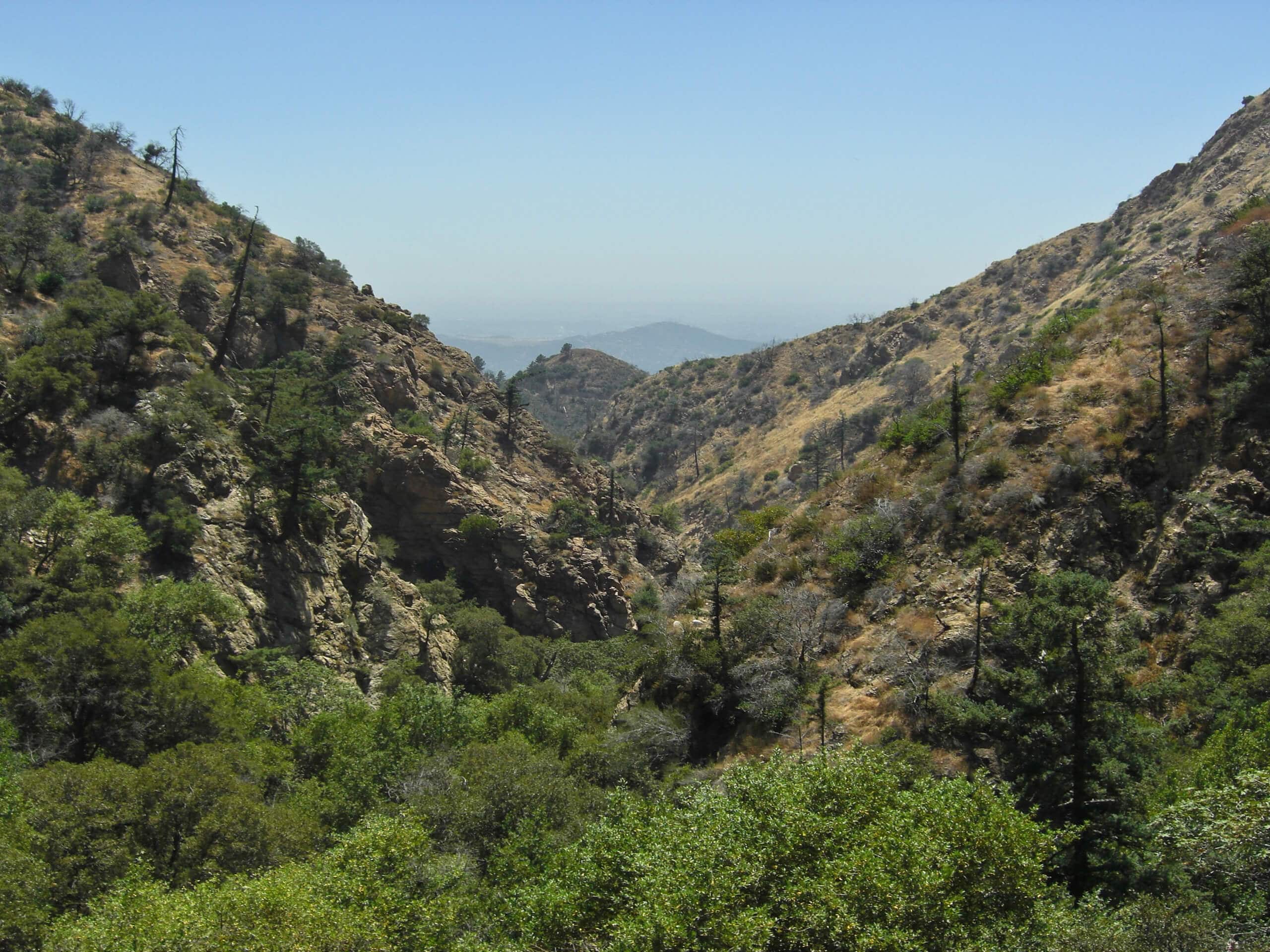
Millard Canyon Falls Trail
Difficulty Rating:
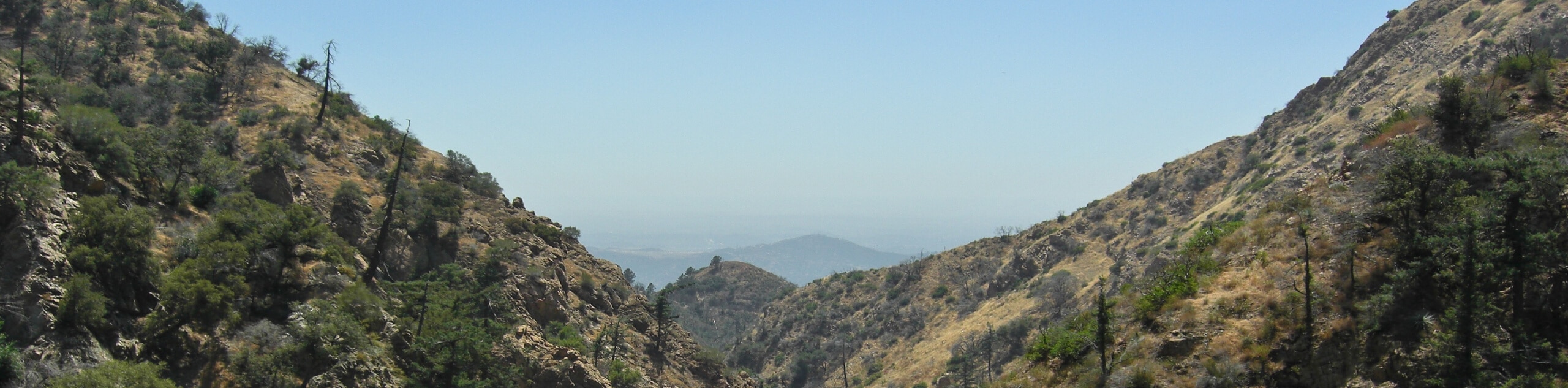
The Millard Canyon Falls Trail is a fantastic hiking route in Southern California that will take you to a beautiful cascade set within the Angeles National Forest. While out hiking the trail, you will traverse the undulating terrain of the Millard Canyon, before arriving at the site of the picturesque Millard Falls. Make sure that you have a valid adventure pass displayed in your vehicle when you set out on this amazing excursion.
Getting there
The starting point for this hike can be found at the junction between Chaney Trail and the Mount Lowe Motorway, just north of Altadena, CA.

About
| Backcountry Campground | No |
| When to do | Year-Round |
| Pets allowed | Yes - On Leash |
| Family friendly | Yes |
| Route Signage | Average |
| Crowd Levels | High |
| Route Type | Out and back |
Millard Canyon Falls Trail
Elevation Graph
Weather
Millard Canyon Falls Trail Description
While it may be a short adventure along the trails of the Angeles National Forest, the Millard Canyon Falls Trail does feature some rocky and uneven terrain; make sure to wear proper hiking footwear with good support for the best traction. Additionally, this area can become quite busy during peak hours, so make sure to arrive early to secure parking.
Even though it is a busy hiking route, the Millard Canyon Falls Trail is an excellent way to spend a few hours outdoors in Southern California. Passing through a beautifully scenic canyon that features a charming waterfall, there is little reason to avoid this well-traveled trail. Whether you are going solo or plan on hiking with the whole family, this will make for an amazing experience that you won’t soon forget.
Setting out from the trailhead, you will make your way east along the Mount Lowe Motorway for 0.1mi, before picking up the trail on your left. Here, you will follow the winding path as it initially bends west, then north over the course of the next 0.7mi to meet up with the Brown Mountain Truck Trail.
Turning right here, you will follow the trail for approximately 340ft, where you will turn right onto the Millard Falls Trail. Here, the path will follow the banks of Millard Creek, crossing over them several times over the next 0.4mi to arrive at the site of the waterfalls.
Once you reach Millard Falls, take some time to appreciate the natural beauty of the cascading water, before turning back along the same route to return to your vehicle and wrap up your time along the Millard Canyon Falls Trail.
Trail Highlights
Millard Falls
Millard Falls is a beautifully scenic waterfall set within the picturesque landscape of the Angeles National Forest of Southern California. The 50ft tall cascade can be found nestled within Millard Canyon, which is one of the most popular canyons in the San Gabriel Mountains for hiking. The falls are best visited during the spring season, when the volume of water flowing over the boulder-topped rock face is at its highest.
Frequently Asked Questions
Do I need to pay to visit Millard Falls?
Hikers wishing to reach the Millard Falls will need to purchase a valid adventure pass and display it in their vehicle. The link can be found above.
Can I bring my dog on the Millard Canyon Falls Trail?
Dogs are permitted along the Millard Canyon Falls Trail, but should be kept on a leash out of respect for other hikers passing through the area.
Insider Hints
Wear proper hiking footwear.
Arrive early to secure parking at the trailhead and beat the crowds.
Extend your adventure by hiking a longer trail in the area, such as the Dawn Mine Hike.
Similar hikes to the Millard Canyon Falls Trail hike

Mount Zion via Lower Winter Creek Trail Loop
The Mount Zion via Lower Winter Creek Trail Loop is a physically demanding Southern California adventure that features waterfall and…

Castaic Falls Trail
Hiking the Castaic Falls Trail is a fun little adventure in the Angeles National Forest that features a charming waterfall.…

Graveyard Truck Trail
Hiking the Graveyard Truck Trail is a pleasant experience in Southern California that features easy-going terrain and views of the…
Comments