Dawn Mine and Sunset Trail Loop
View Photos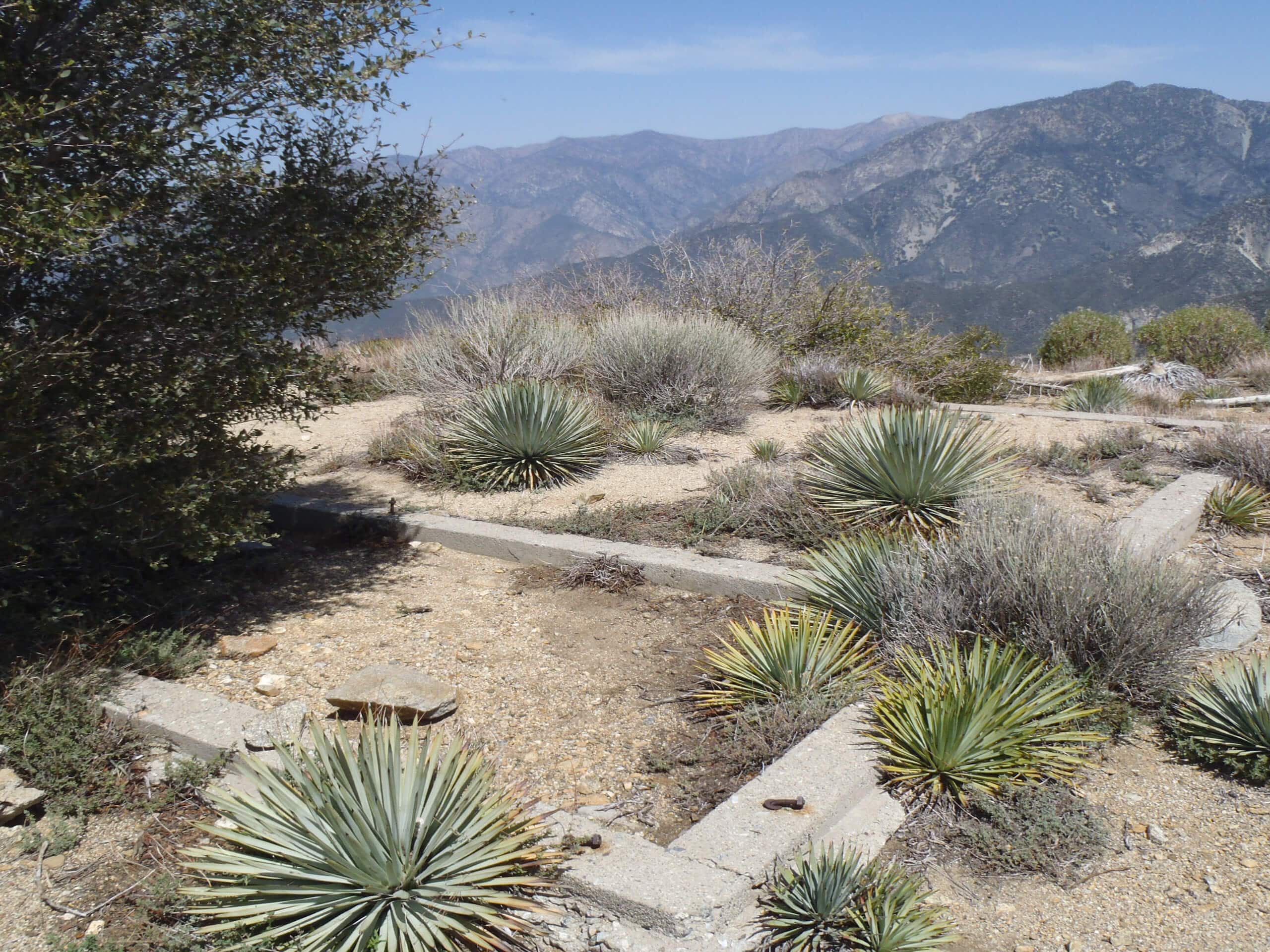
Dawn Mine and Sunset Trail Loop
Difficulty Rating:
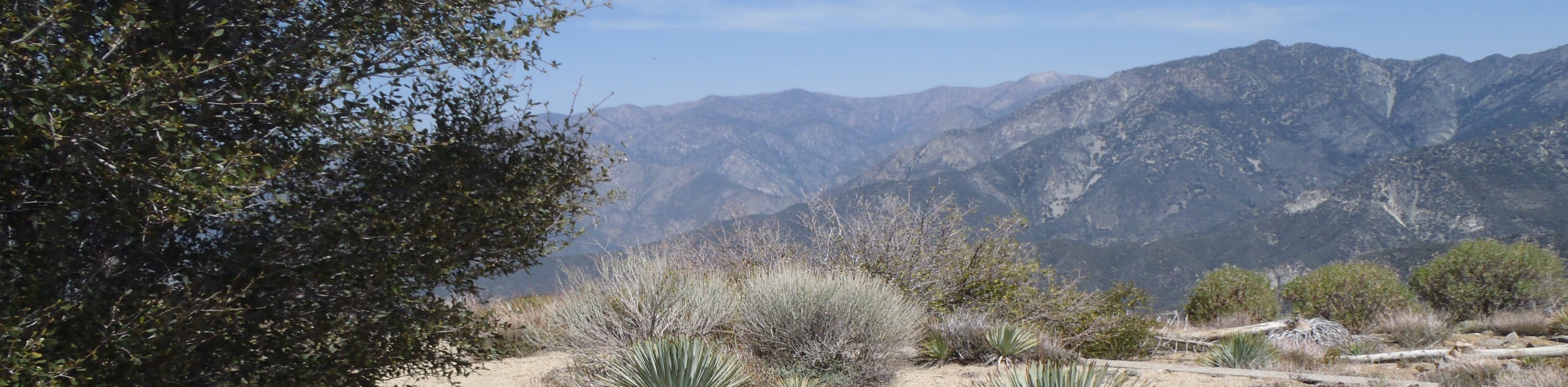
The Dawn Mine and Sunset Trail Loop is a popular adventure in the Angeles National Forest that is easily accessible from Pasadena and features beautifully scenic views. While out on the trail, you will work your way through the rugged terrain of the Millard Canyon, before visiting the historic Dawn Mine. Make sure to display your adventure pass on your dashboard prior to setting out on your hike.
Getting there
The trailhead for the Dawn Mine and Sunset Trail Loop can be found at the junction between Chaney Trail and Brown Mountain Truck Trail, just north of Pasadena.

About
| Backcountry Campground | Millard Campground |
| When to do | May-November |
| Pets allowed | Yes - On Leash |
| Family friendly | Older Children only |
| Route Signage | Average |
| Crowd Levels | High |
| Route Type | Lollipop |
Dawn Mine and Sunset Trail Loop
Elevation Graph
Weather
Dawn Mine and Sunset Trail Loop Description
Located a short drive from Pasadena, the Dawn Mine and Sunset Trail Loop is a popular route in Los Angeles County that sees a large volume of foot traffic. This, and the limited amount of parking at the trailhead, means that you should make sure to arrive early. Additionally, you will want to wear proper hiking footwear, as there are some stretches of rugged terrain in the canyon.
While it is definitely a busy route, the Dawn Mine and Sunset Trail Loop is a fun adventure worth undertaking in Southern California. The beautifully scenic views across the Millard Canyon and the fascinating history of the mine really do make for a fantastic day on the trails.
Setting out from the parking area, you will make your way east along Mount Lowe Road for 0.3mi and keep left onto the Sunset Ridge Trail. Following the footpath north, you will make your way through the woodland landscape and eventually arrive at a junction near the edge of Millard Creek.
Keeping to the left, you will follow alongside the creek as it winds through the canyon over the next 1.3mi. This stretch of the trail features several creek crossings, so make sure to wear proper water-resistant hiking footwear, especially if water levels are high. Eventually, you will arrive at the site of the Dawn Mine, which offers a fascinating insight into the local gold mining operations of the late 19th and early 20th centuries.
After exploring the mine, the route continues on to the southeast and climbs uphill through the rugged terrain of the canyon for 0.6mi to reach the edge of Mount Lowe Road. Turning to the right, you will follow the road for 0.3mi, before turning off to the right onto the Sunset Ridge Trail.
Take your time here as you descend along the switchback trail and appreciate the beautifully scenic views of the Millard Canyon before you. Keeping to the right along this path for the next 1.64mi, you will eventually arrive back at the junction next to Millard Creek. Turning left, you will retrace your initial steps along the trail to return to the parking area having completed the Dawn Mine and Sunset Trail Loop.
Trail Highlights
Dawn Mine
Easily accessible by hiking trail from nearby Pasadena, California, the Dawn Mine is a fascinating relic left over from the mining past of the San Gabriel Mountains. Situated in the Millard Canyon, the mine was intermittently used from 1895 to the 1950s by miners in search of gold. Enough gold was found here to continuously pique interest, although no large vein was ever found and the mine was eventually closed.
Insider Hints
Make sure to wear proper hiking footwear, as the terrain can be quite rugged in certain areas.
Arrive early, as this is a very popular hiking route.
Be sure to keep your dog on a leash at all times.
Similar hikes to the Dawn Mine and Sunset Trail Loop hike

Mount Zion via Lower Winter Creek Trail Loop
The Mount Zion via Lower Winter Creek Trail Loop is a physically demanding Southern California adventure that features waterfall and…

Castaic Falls Trail
Hiking the Castaic Falls Trail is a fun little adventure in the Angeles National Forest that features a charming waterfall.…

Graveyard Truck Trail
Hiking the Graveyard Truck Trail is a pleasant experience in Southern California that features easy-going terrain and views of the…
Comments