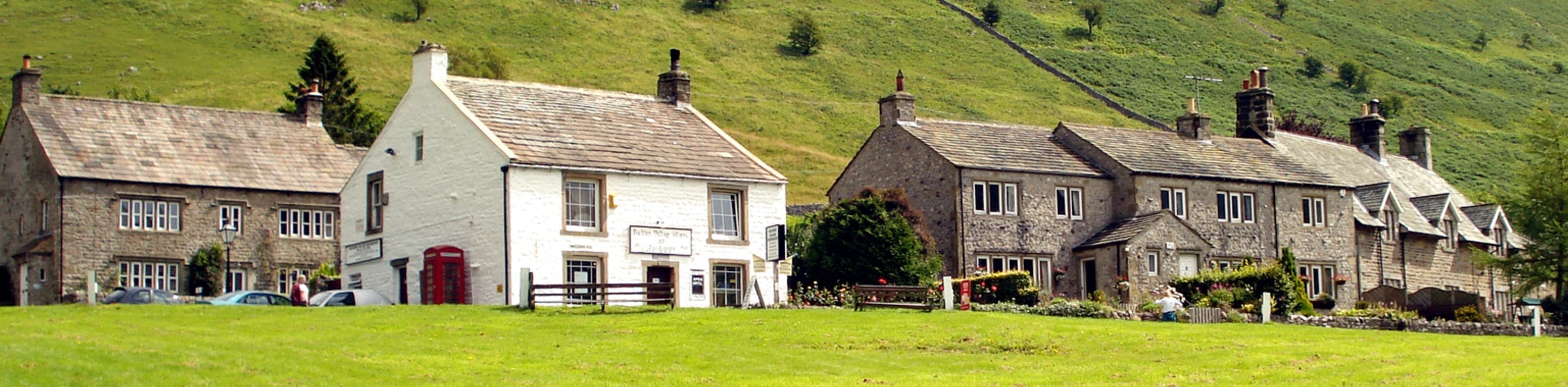
Fremington Edge Walk
View Photos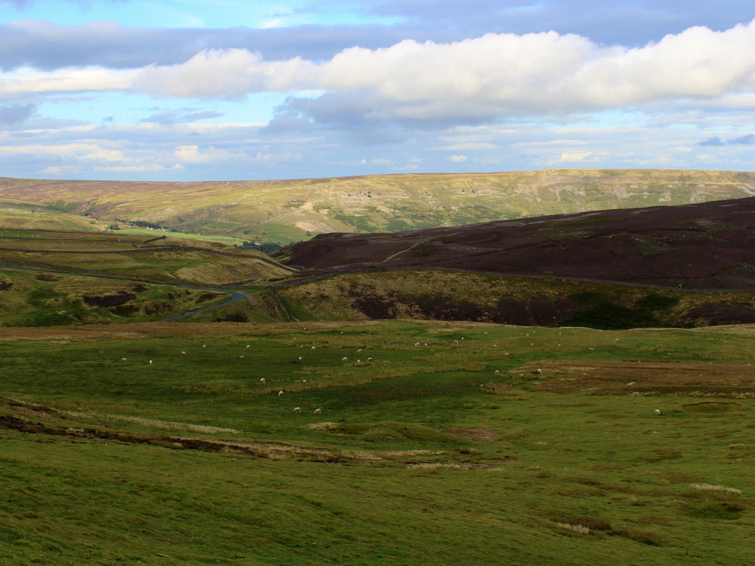
Fremington Edge Walk
Difficulty Rating:
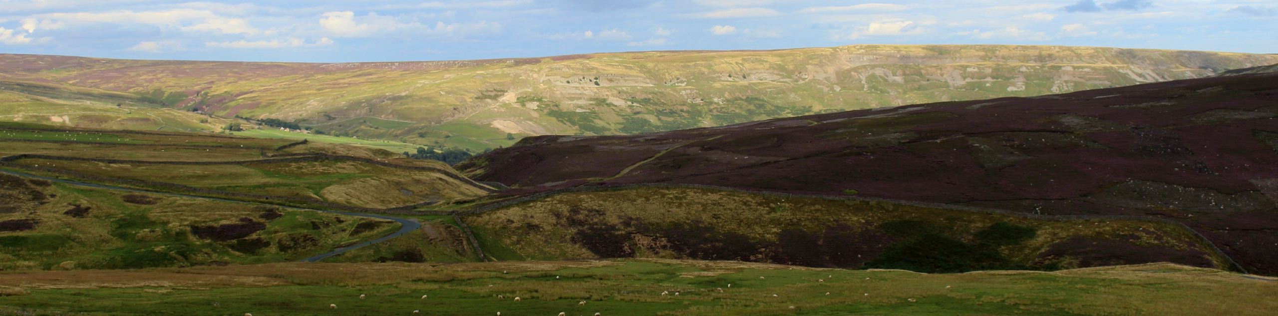
The Fremington Edge Walk is a fantastic route within Yorkshire Dales National Park that will see you climb uphill and traverse the edge for some scenic views. While out walking the trail, you will make your way uphill across the open countryside and traverse the rocky Fremington Edge, where you will have a commanding sightline across the moors to the northeast and the valley to the west. Although there are some steep sections, this is a great trail for the family to get out and enjoy nature.
Getting there
To reach the trailhead for the Fremington Edge Walk from Richmond, head west on Victoria Road for 5.0mi and make a slight right onto B6270 to continue on for another 5.0mi. Make a right here and follow the road for 0.9mi, turning left to enter the car park.

About
| Backcountry Campground | No |
| When to do | March-November |
| Pets allowed | Yes - On Leash |
| Family friendly | Older Children only |
| Route Signage | Average |
| Crowd Levels | Moderate |
| Route Type | Lollipop |
Fremington Edge Walk
Elevation Graph
Weather
Fremington Edge Walk Description
If you are after a scenic walking route that will expose you to some amazing views of the valleys and moorlands of the Yorkshire Dales, then the Fremington Edge Walk is the perfect option for a fun day on the trails. There are a few steep climbs to be aware of, but overall, the route is perfectly suited for walkers of a wide range of ages and skill levels.
Setting out from the village of Reeth, you will make your way southeast along the road and cross over Arkle Beck, picking up a trail that leads more directly south to reach the banks of the River Swale. From here, you will follow its winding banks to the southeast, before climbing up the hillside and passing through a stretch of forest on the way to the village of Marrick.
Follow the trail as it turns to the northwest, traversing the rocky terrain of Fremington Edge that will provide some gorgeous views across the valley to the west and the barren and hilly moor to the northeast. After reaching a junction at the northwesternmost point of the route, you will turn to the southwest and descend the steep hillside, traversing the open farmland on the return to the trailhead.
Similar hikes to the Fremington Edge Walk hike
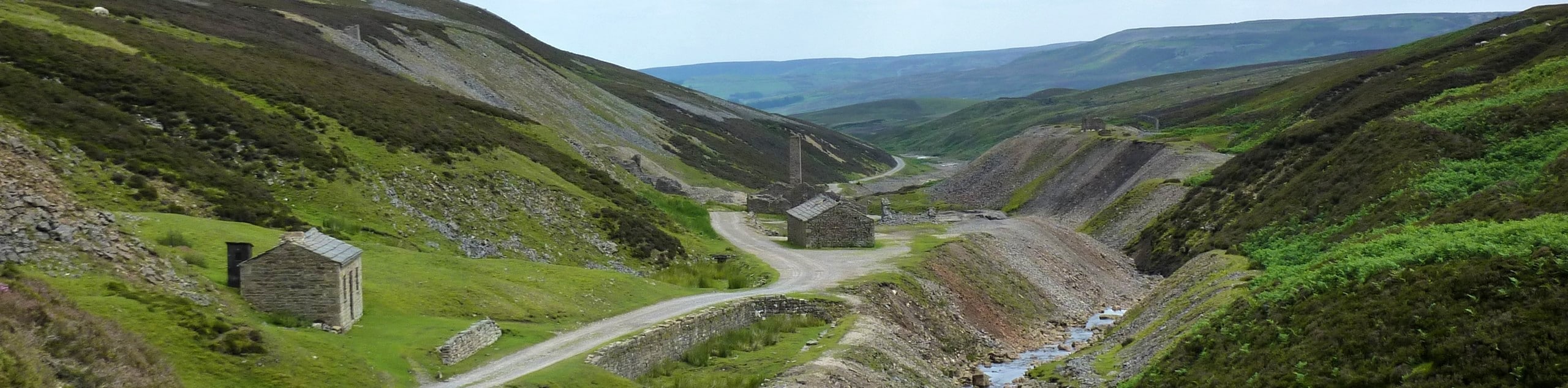
Old Gang Smelt Mill and Reeth High Moor Walk
The Old Gang Smelt Mill and Reeth High Moor Walk is a rough and rugged adventure that will take you…
Hawes and Sedbusk Walk
The Hawes and Sedbusk Walk is a great family-friendly adventure in Yorkshire Dales National Park that will take you through…
Buckden Circular Walk
The Buckden Circular Walk is a lovely adventure in Yorkshire Dales National Park that will provide scenic views overlooking Wharfedale…
Comments