Mastiles Lane and Arncliffe Cote Walk
View Photos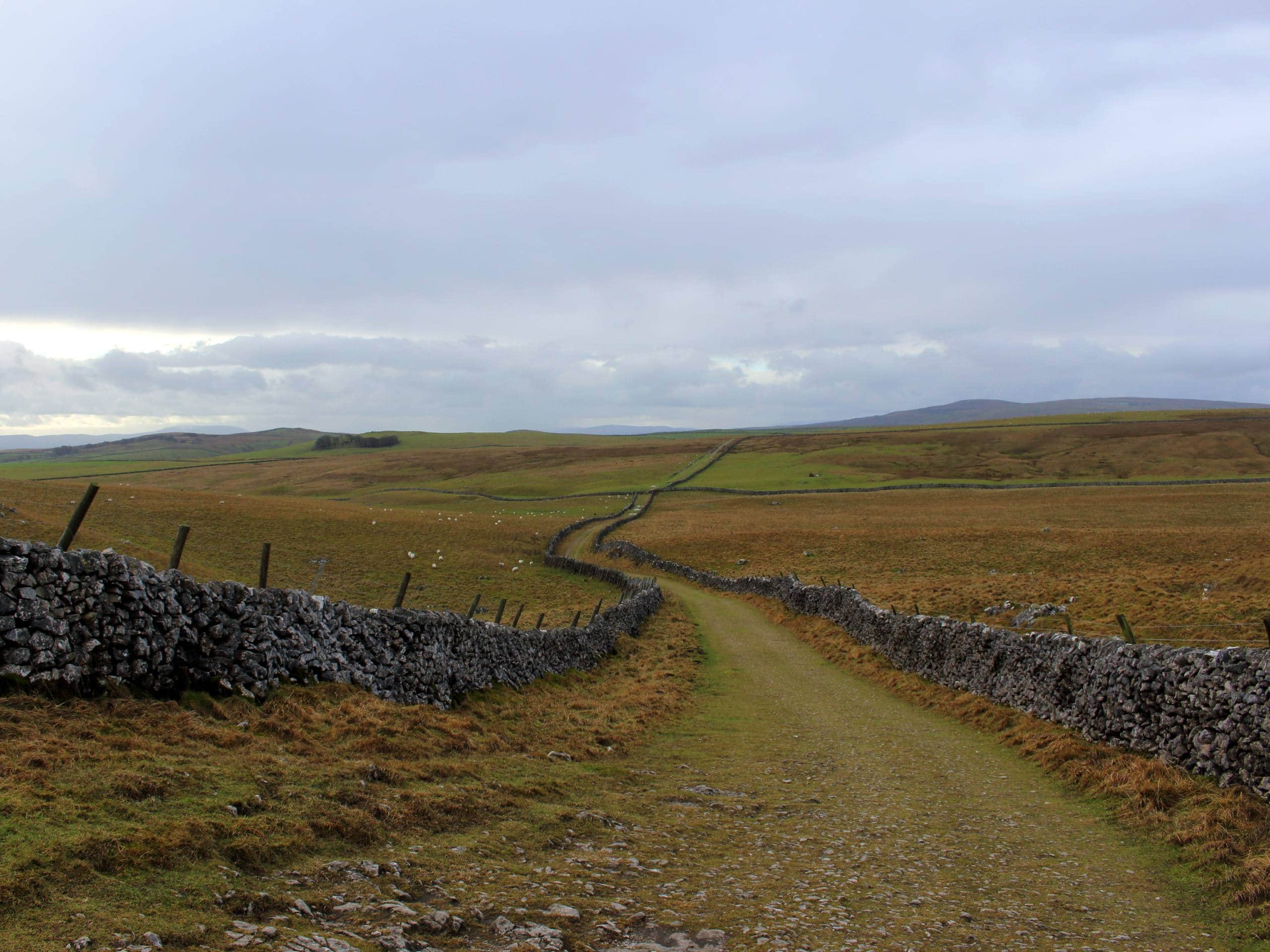
Mastiles Lane and Arncliffe Cote Walk
Difficulty Rating:
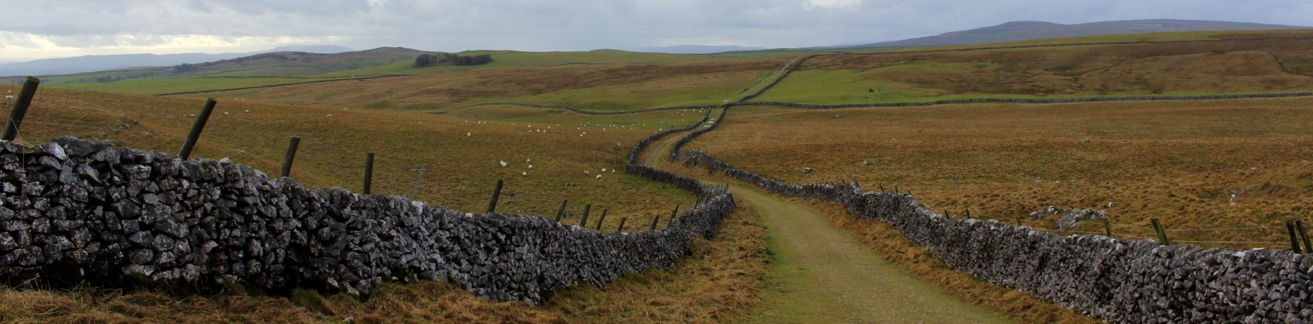
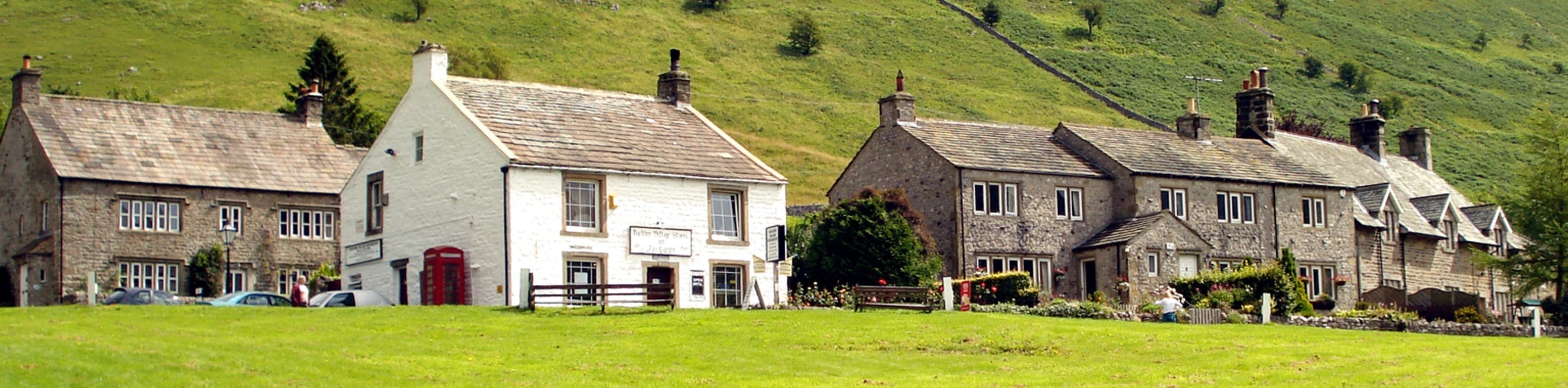
The walk along Mastiles Lane and Arncliffe Cote is a lengthy but ultra-scenic excursion in Yorkshire Dales National Park that provides sweeping views across the picturesque landscape. Along the trail, you will traverse the undulating terrain of the moor, passing charming waterfalls and rolling green hills that provide a great insight into the natural beauty of the area. Make no mistake, this is a challenging route that will give you a good workout, but it will also provide a great payoff in the form of scenic views.
Getting there
To reach the trailhead for the Mastiles Lane and Arncliffe Cote Walk from Grassington, head west on Station Road for 0.8mi and turn right onto B6160. Follow this for 3.6mi to arrive at the starting point of the walk.

About
| Backcountry Campground | No |
| When to do | Year-Round |
| Pets allowed | Yes |
| Family friendly | No |
| Route Signage | Average |
| Crowd Levels | Moderate |
| Route Type | Circuit |
Mastiles Lane and Arncliffe Cote Walk
Elevation Graph
Weather
Mastiles Lane and Arncliffe Cote Walk Description
While the Mastiles Lane and Arncliffe Cote Walk is a lengthy route that is sure to give your legs a killer workout, it also provides some absolutely stunning views across the undulating landscape of the Yorkshire Dales. Be prepared with sturdy walking boots and bring plenty of water/snacks to stay fuelled along the trail!
Setting out from the trailhead, you will initially walk to the southeast to pass through the village of Kilnsey, turning to the southwest along Mastiles Lane as it cuts across the terrain below the rocky Kilnsey Crag. Continue along this track, as it leads you to the southwest on a path that climbs uphill across the rugged terrain of the moor.
Reaching the southwest corner of the route, you will be met with a stone wall just before a junction. Do not pass through the gate here. Instead, take the faint path on your right that leads to the northeast across the moor. After passing through a boggy stretch of terrain and climbing even further uphill across the moor, you will descend the hillside and pass by Arncliffe Cote to meet back up with the road. Follow this to the southeast to return to the trailhead.
Similar hikes to the Mastiles Lane and Arncliffe Cote Walk hike
Old Gang Smelt Mill and Reeth High Moor Walk
The Old Gang Smelt Mill and Reeth High Moor Walk is a rough and rugged adventure that will take you…
Hawes and Sedbusk Walk
The Hawes and Sedbusk Walk is a great family-friendly adventure in Yorkshire Dales National Park that will take you through…
Buckden Circular Walk
The Buckden Circular Walk is a lovely adventure in Yorkshire Dales National Park that will provide scenic views overlooking Wharfedale…
Comments