
Lucille Lake Loop
View Photos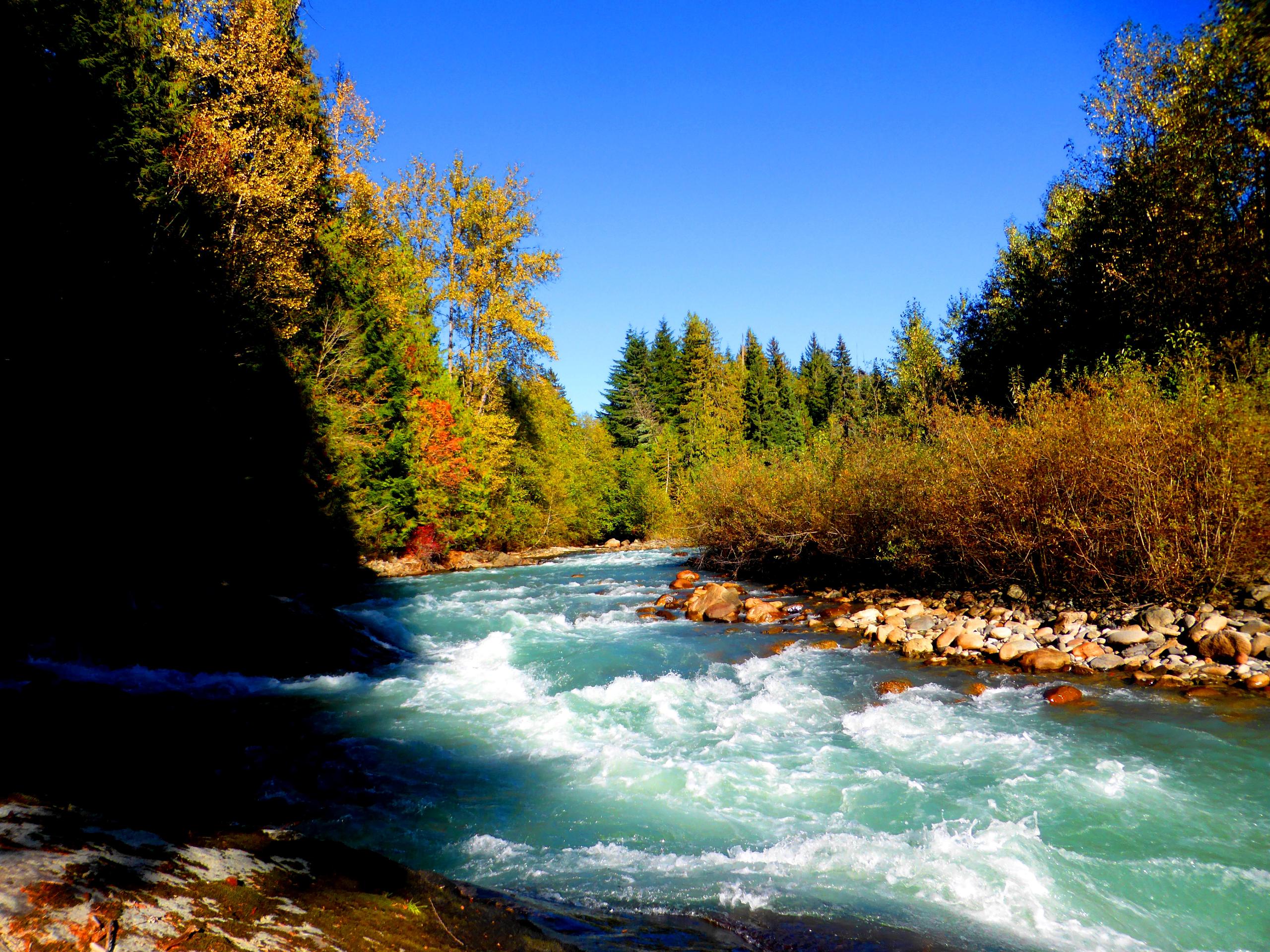
Lucille Lake Loop
Difficulty Rating:
A popular spot with locals, the Lucille Lake Loop is a quiet hiking route southwest of Whistler that travels around the forested edge of this quaint lake. Made up of easy-to-navigate terrain and beautiful scenery, this is a fun trail that the whole family will love. Make sure to bring bear spray, as bears and/or cougars may be in the area.
Getting there
To reach the parking area for the Lucille Lake Loop from Whistler, drive south on BC-99 for 16.5mi and turn right onto Chance Creek FSR. After crossing the bridge over the Cheakamus River, you will immediately reach the parking lot.

About
| When to do | Year-Round |
| Backcountry Campsites | No |
| Pets allowed | Yes - On Leash |
| Family friendly | Yes |
| Route Signage | Poor |
| Crowd Levels | Low |
| Route Type | Circuit |
Lucille Lake Loop
Elevation Graph
Weather
Lucille Lake Loop Trail Description
The Lucille Lake Loop is a scenic hiking route southwest of Whistler that sets out from the banks of the Cheakamus River and follows closely along the wooded shores of the lake through a beautiful stretch of forest. Along the trail, you will be able to take in the peaceful atmosphere of the woodland landscape, while viewing the beautiful scenery around the lake and nearby mountains in the backdrop.
This short hike traverses some fairly flat terrain, making it ideal for families and beginner hikers. For those looking to extend their hike, there are trails that stretch north and leaf to the scenic shores of the much larger Daisy Lake nearby.
Similar hikes to the Lucille Lake Loop hike
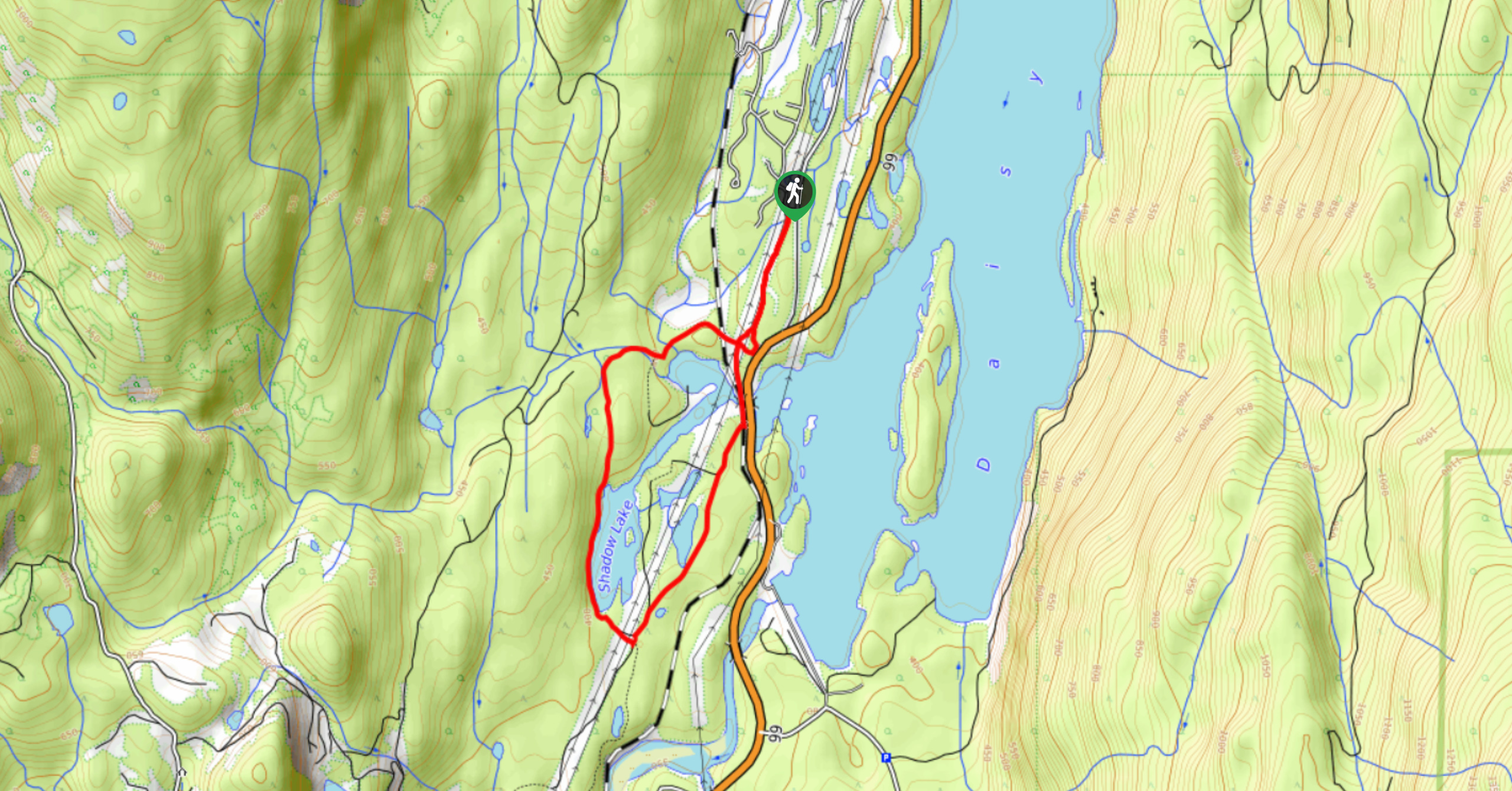
Shadow Lake Loop
Travel along the Shadow Lake Loop for a quick and easy hiking route just off the Sea to Sky Highway,…
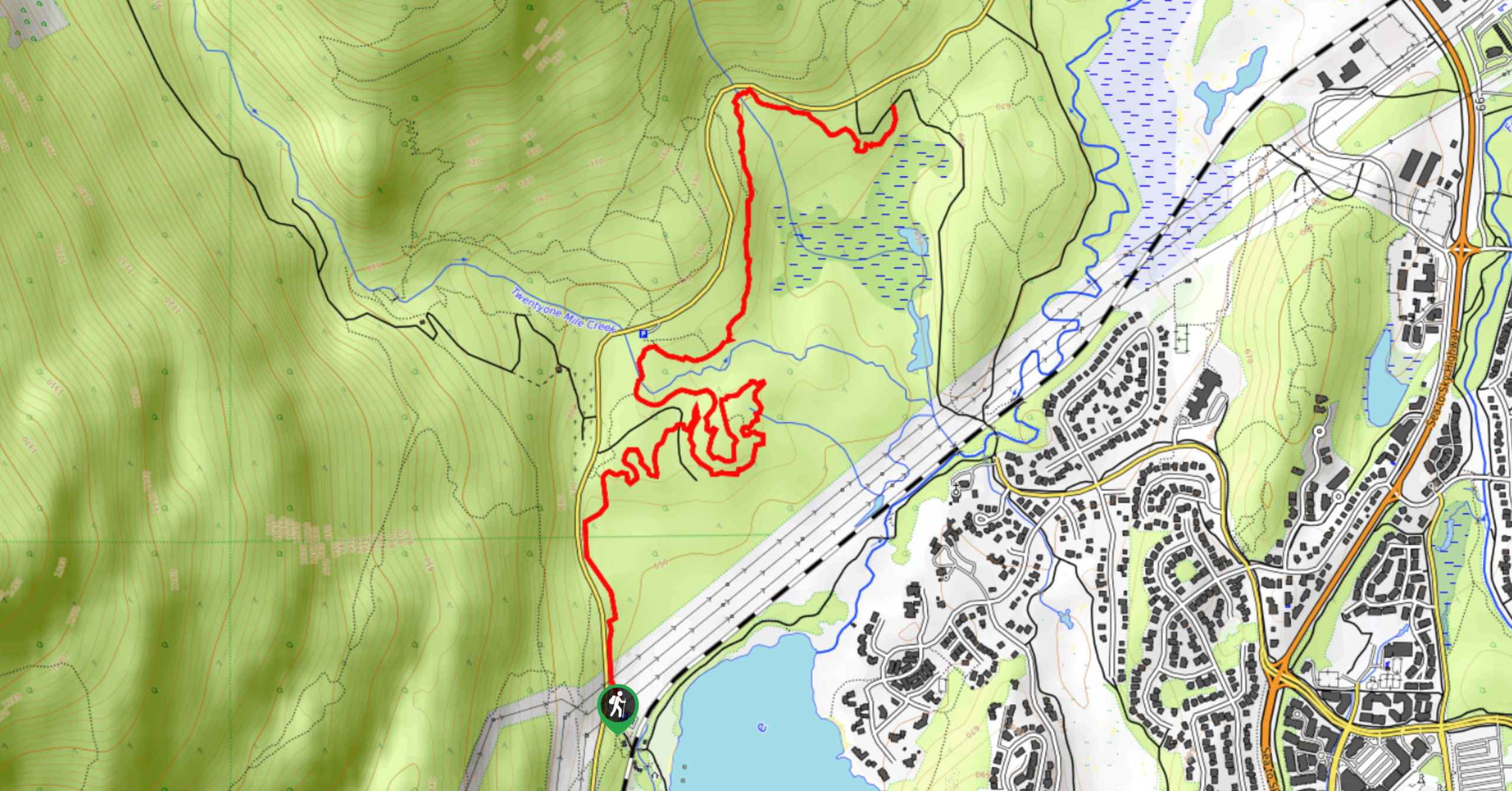
A River Runs Through It Trail
The A River Runs Through It Trail is a 5.6mi out-and-back hiking route in Whistler that features scenic…
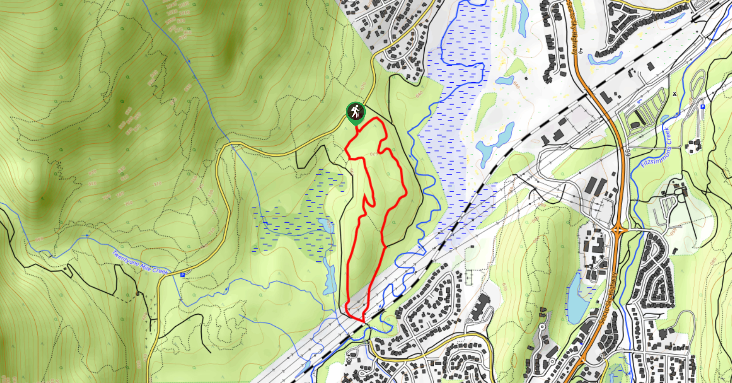
Emerald Forest Trail
The Emerald Forest Trail is a short 1.7mi hiking route located just northwest of Whistler that is set…
Comments