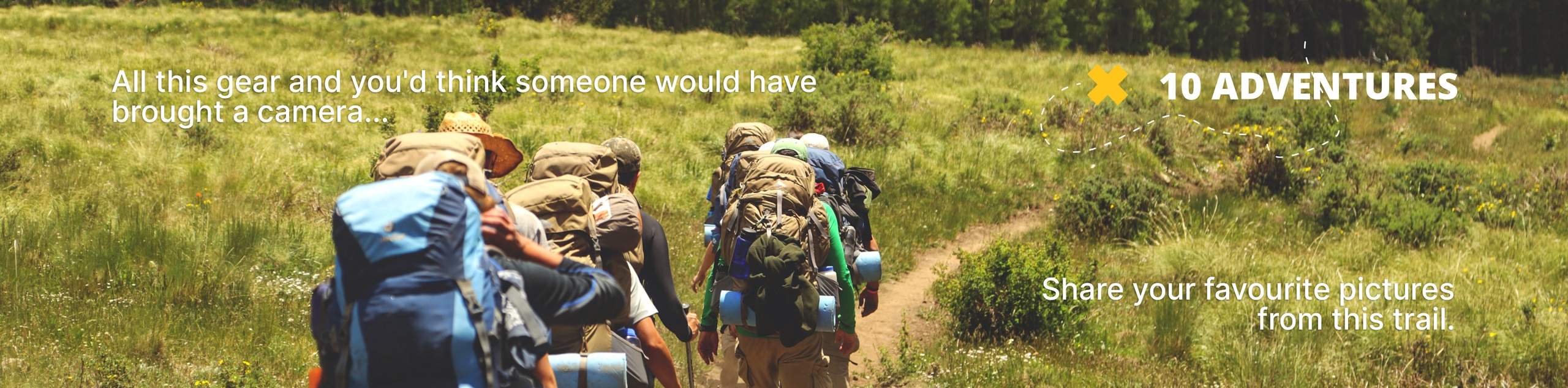
Shadow Lake Loop
View Photos
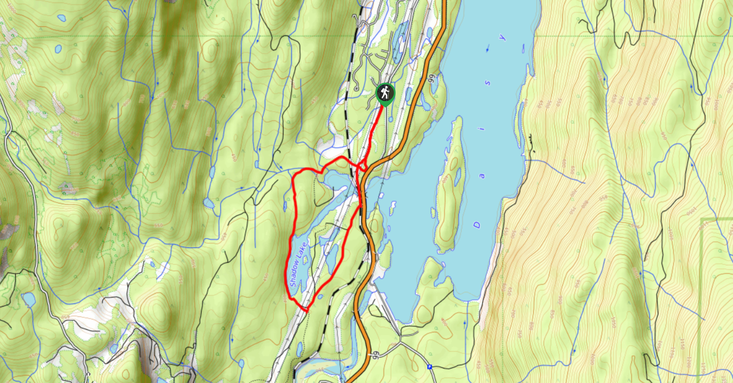
Shadow Lake Loop
Difficulty Rating:
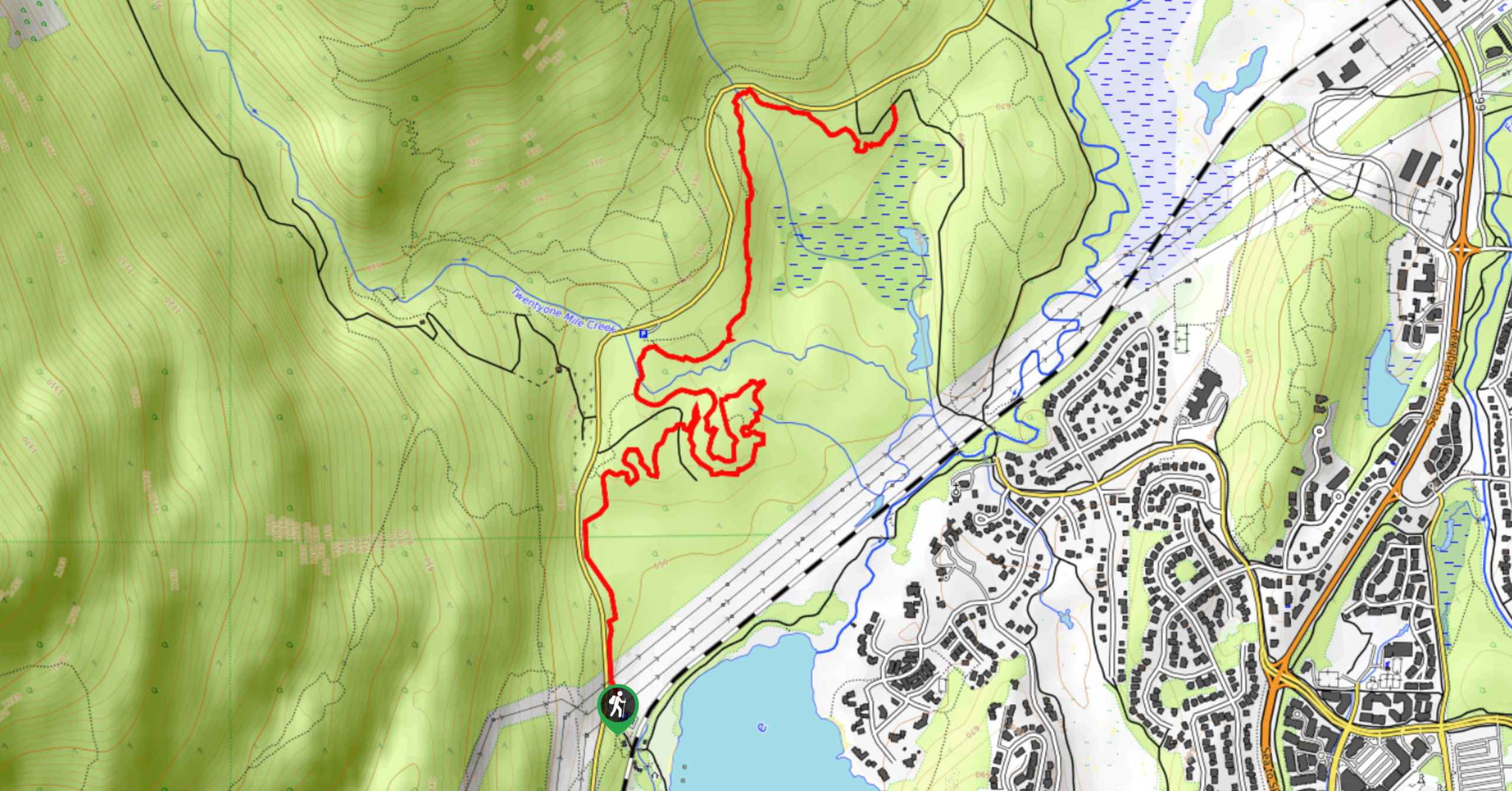
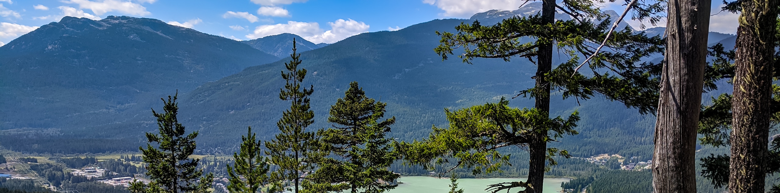
Travel along the Shadow Lake Loop for a quick and easy hiking route just off the Sea to Sky Highway, near Whistler, that loops around Shadow Lake and offers scenic woodland views. As you make your way through the forest, you will have nice views over the water and a sightline that reaches out to the ancient lava dam rock formation known as The Barrier. This hiking route is great for families and dog walkers.
Getting there
To access the trailhead for the Shadow Lake Loop from Whistler, drive south on BC-99 S for 12.9mi and make a right turn onto Retta Lake Road. After 0.9mi, turn right onto Pinecrest Estates Road, where you will find the trailhead on your left.

About
| When to do | June-October |
| Backcountry Campsites | No |
| Pets allowed | Yes - On Leash |
| Family friendly | Yes |
| Route Signage | Average |
| Crowd Levels | Moderate |
| Route Type | Lollipop |
Shadow Lake Loop
Elevation Graph
Weather
Shadow Lake Loop Trail Description
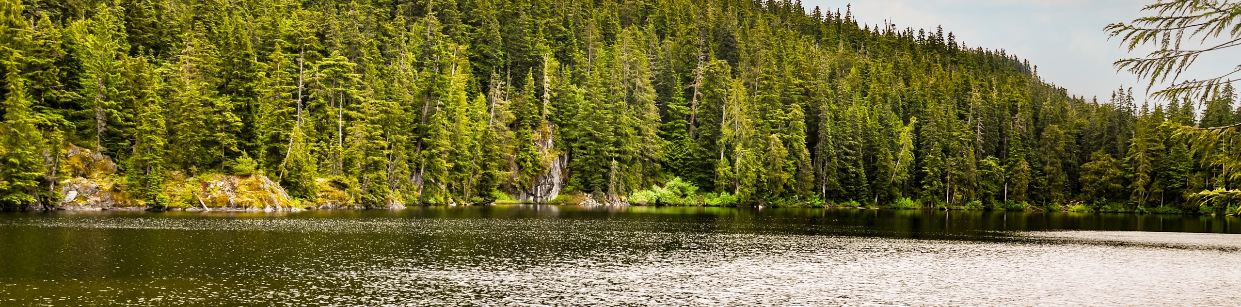
The Shadow Lake Loop is a hiking route near Whistler that can be found just off the Sea to Sky Highway and travels around the reservoir known as Shadow Lake. This short trail is made up of easy-going terrain and offers little in the way of elevation changes, making for a route that hikers of all skill levels can tackle. Along the trail, you will experience scenic woodland views, as well as vantage points overlooking Shadow Lake and the imposing rock formation known as The Barrier, which is an ancient lava dam that holds back the waters of Garibaldi Lake. This trail is a fun adventure for the whole family and is also on-leash dog friendly.
Similar hikes to the Shadow Lake Loop hike
Jane Lakes Trail
The Jane Lakes Trail is a lightly trafficked 6.2mi out-and-back hiking route through the Whistler Interpretive forest that…
A River Runs Through It Trail
The A River Runs Through It Trail is a 5.6mi out-and-back hiking route in Whistler that features scenic…
Comfortably Numb Trail
The Comfortably Numb Trail is a multi-use route near Whistler that starts to the northeast of Green Lake and travels…
Comments