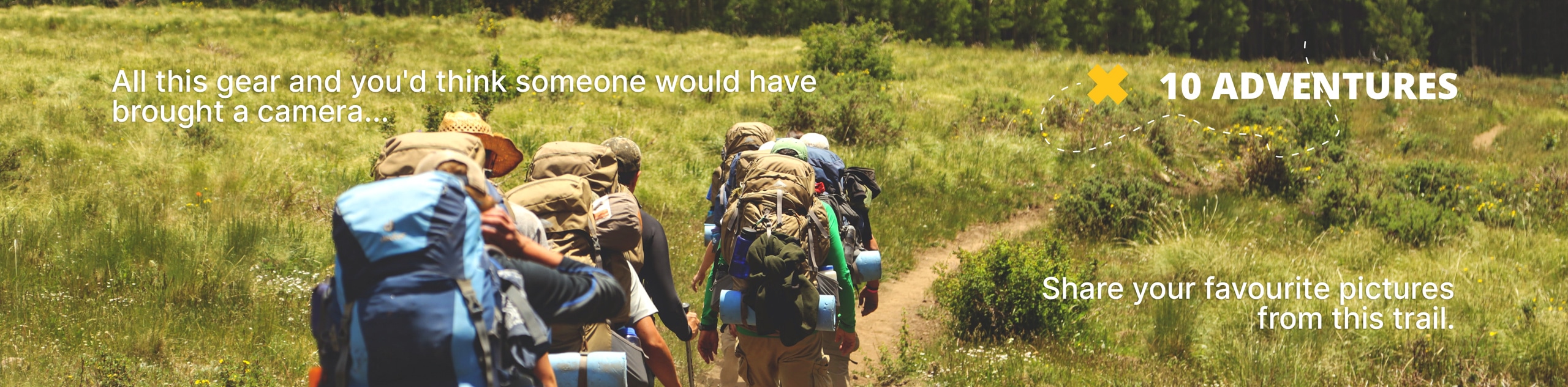
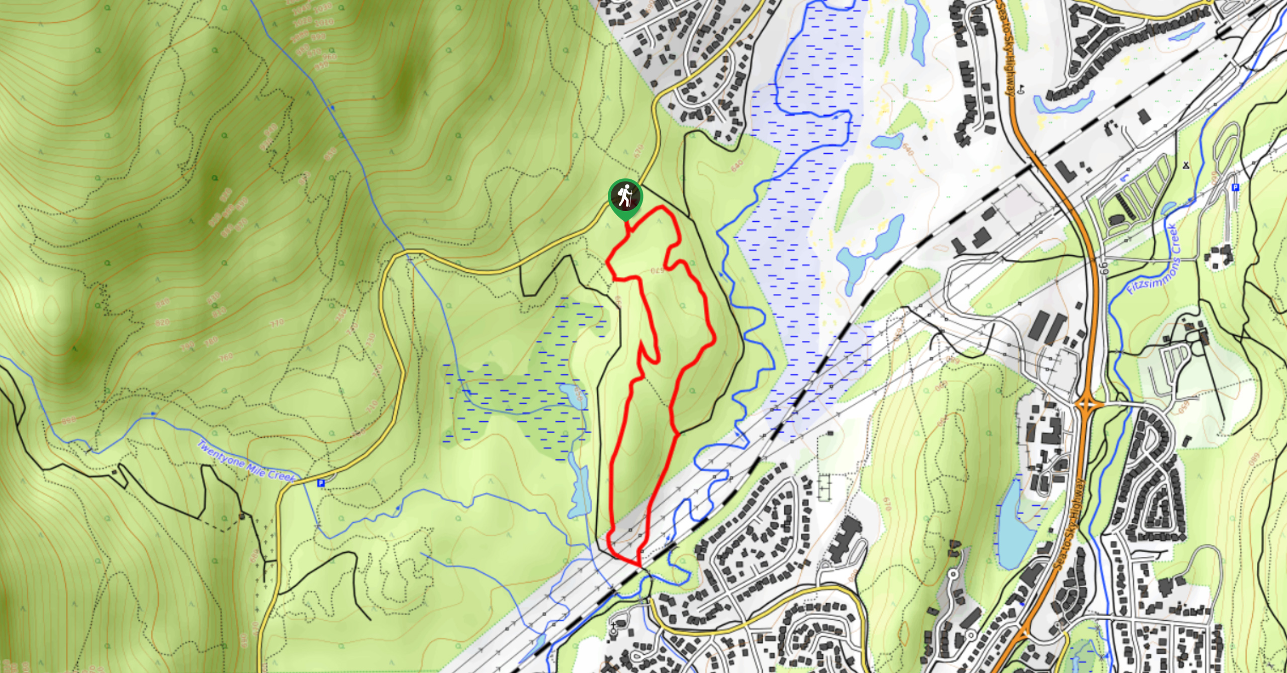
Alpine Walk Trail
View Photos
Alpine Walk Trail
Difficulty Rating:
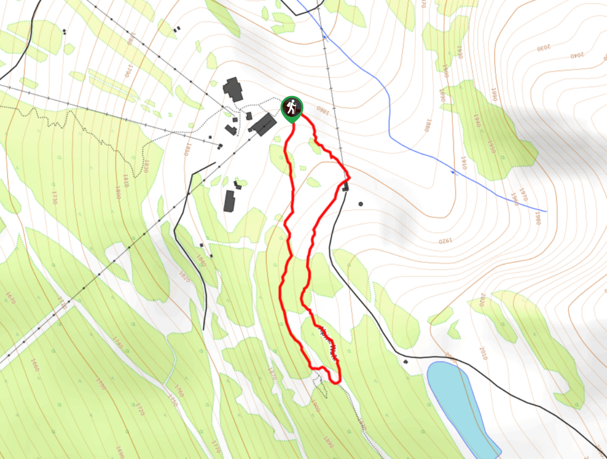
The Alpine Walk Trail is the perfect route for getting the whole family out into the mountains to experience the stunning alpine views that surround Whistler. This short 0.9mi loop trail can be accessed by taking the gondola up to Blackcomb Peak and takes hikers to several scenic lookouts over the area. The easy terrain, gorgeous views, and beautiful wildflowers make this route a quick jaunt through the mountains that hikers of all skill levels will enjoy.
Getting there
To access the trailhead for the Alpine Trail from Green Lake, make your way southeast on BC-99 S toward Whistler Village and turn left to get onto Nancy Green Drive. Make a right after 591ft onto Blackcomb Way, following it for 0.8mi to access the parking area on your left side. From here, make your way up the gondola to Blackcomb Peak to find the trailhead.

About
| When to do | June-October |
| Backcountry Campsites | No |
| Pets allowed | No |
| Family friendly | Yes |
| Route Signage | Average |
| Crowd Levels | Moderate |
| Route Type | Circuit |
Alpine Walk Trail
Elevation Graph
Weather
Alpine Walk Trail Description
The Alpine Walk Trail is a popular family-friendly hike in Whistler that explores some of the trails that can be found on the way up to the iconic Blackcomb Peak. After making your way up the gondola (pass required), you will travel along a scenic loop to visit some beautiful lookouts over the surrounding area. Experience amazing views to the southwest over Whistler Mountain and the Fitzsimmons Range before making your way along a track that runs parallel to a ski run. Make sure to visit during the late-summer season in order to experience the beauty of the alpine wildflowers in full bloom.
Similar hikes to the Alpine Walk Trail hike
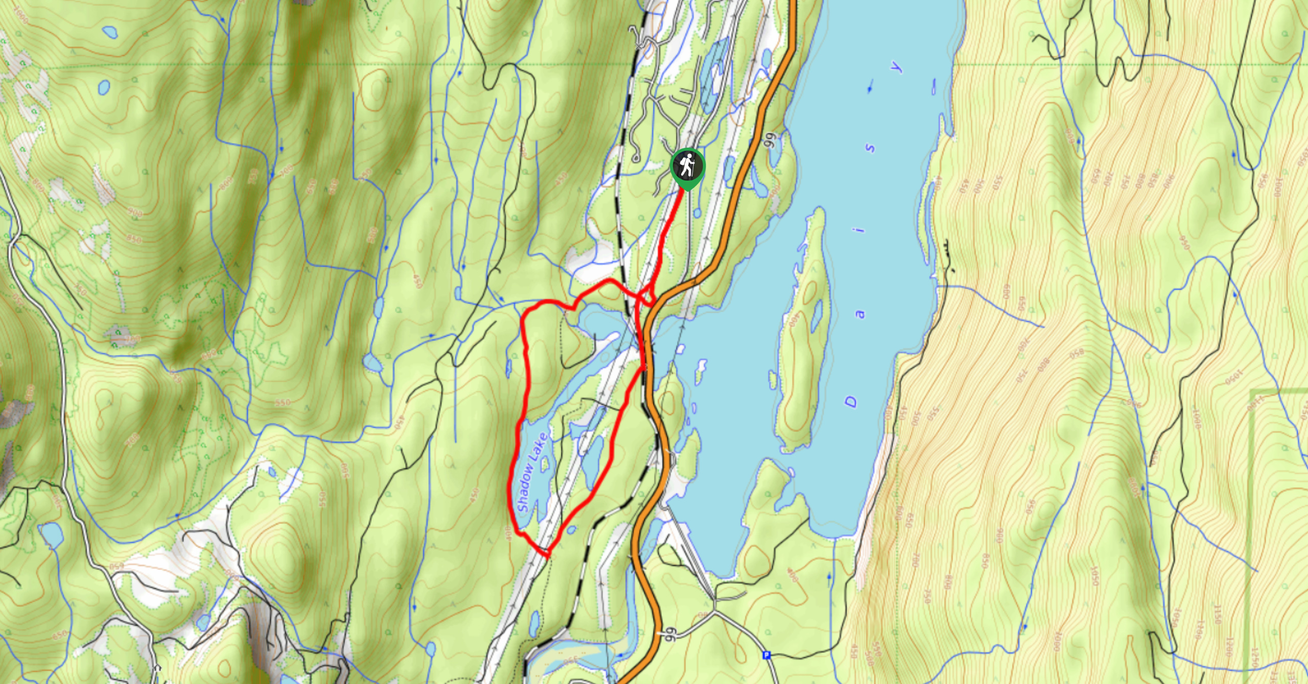
Shadow Lake Loop
Travel along the Shadow Lake Loop for a quick and easy hiking route just off the Sea to Sky Highway,…
A River Runs Through It Trail
The A River Runs Through It Trail is a 5.6mi out-and-back hiking route in Whistler that features scenic…
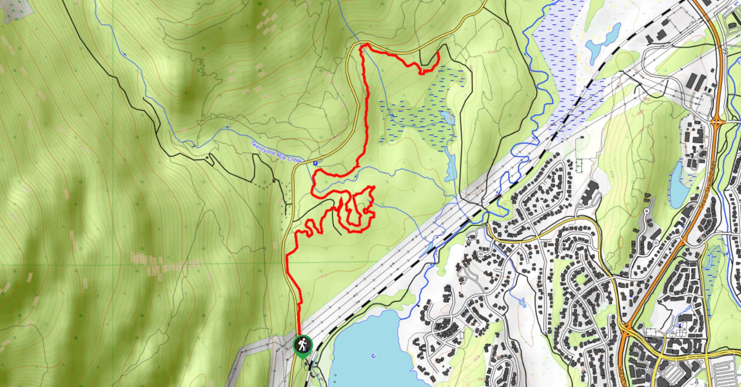
Emerald Forest Trail
The Emerald Forest Trail is a short 1.7mi hiking route located just northwest of Whistler that is set…
Comments