Harmony Lake Trail
View Photos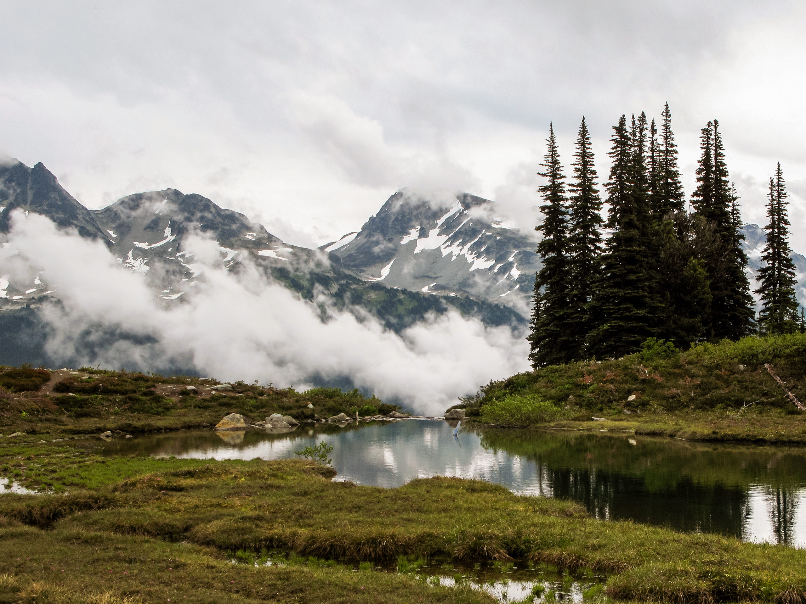
Harmony Lake Trail
Difficulty Rating:
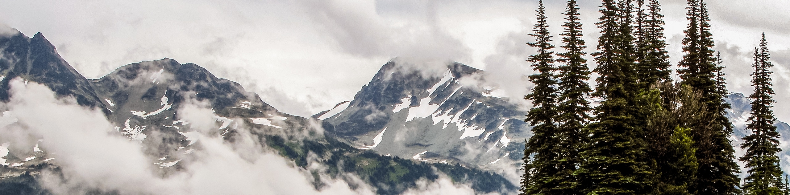
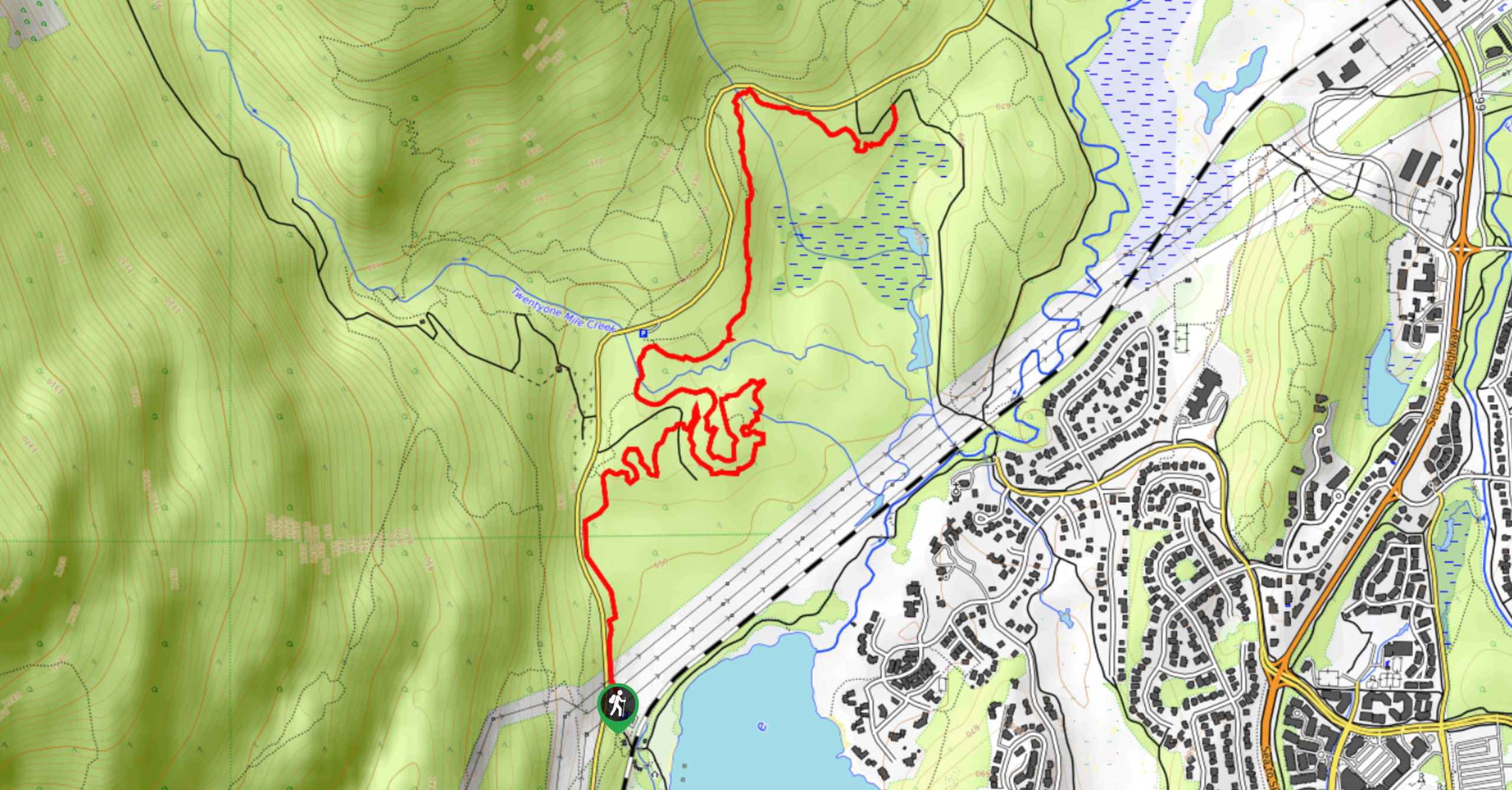
The Harmony Lake Trail is a 1.7mi lollipop trail near Whistler that offers stunning mountain views and the chance to hike around the alpine waters of Harmony Lake. The trail is very well-maintained and is composed of easy terrain, making this an ideal route for families and hikers of all skill levels. Make sure to bring a camera to capture the amazing views of Whistler and the surrounding area.
Getting there
To reach the Harmony Lake trailhead from Green Lake, drive southeast along BC-99 S to Whistler Village and make a left onto Nancy Green Dr. Turn right after 591ft onto Blackcomb Way, keeping on it for 0.8mi to get to the parking lot on your left. From here, take the gondola up to the Roundhouse Lodge to find the trailhead.

About
| When to do | June-October |
| Backcountry Campsites | No |
| Pets allowed | No |
| Family friendly | Yes |
| Route Signage | Average |
| Crowd Levels | Low |
| Route Type | Lollipop |
Harmony Lake Trail
Elevation Graph
Weather
Harmony Lake Trail Description
The Harmony Lake Trail on Whistler Mountain is a short but beautiful hike that sets out from Roundhouse Lodge in a southeast direction to Harmony Lake. Here, hikers will be able to take in the scenic views of the alpine lake and its surrounding mountains, while strolling alongside Harmony Creek and the many wildflowers that blanket the area in late summer. The loop at the end of the trail grants stunning views of Blackcomb Peak and the village of Whistler. You’ll then return back on the trail you came towards the lodge. This short route is a great way to get out onto the trail with the whole family to reconnect with nature and take in the fresh air of the mountains.
Similar hikes to the Harmony Lake Trail hike
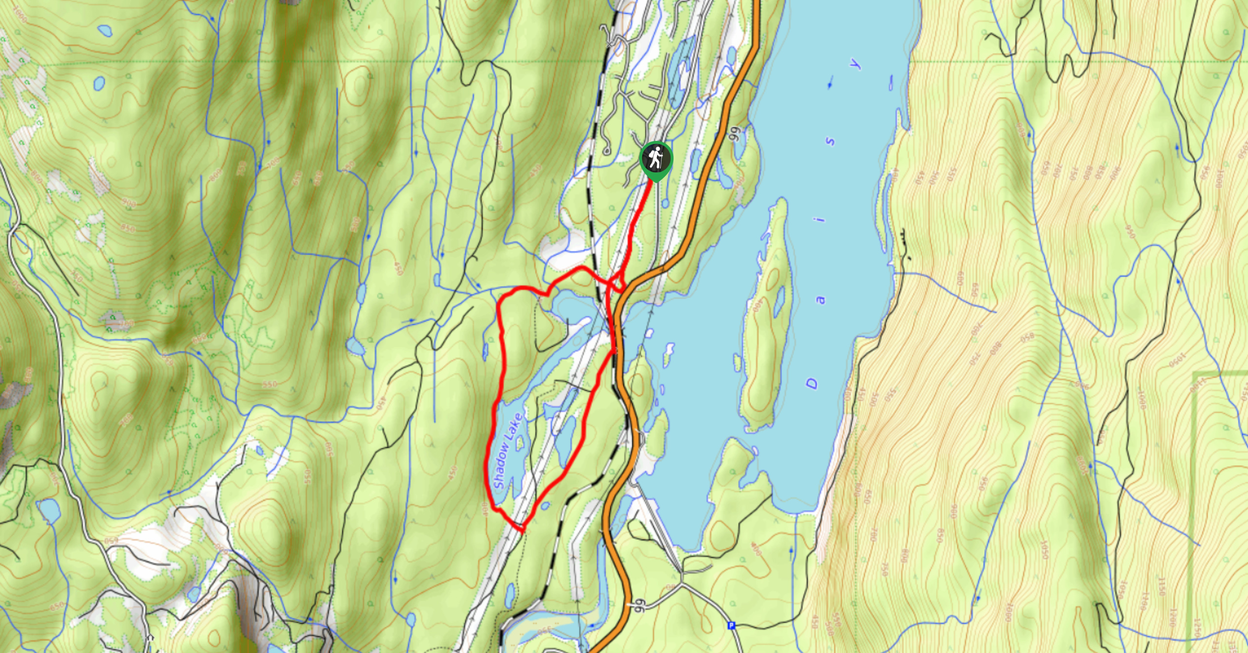
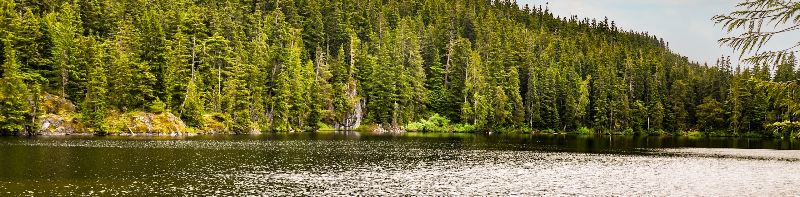
Shadow Lake Loop
Travel along the Shadow Lake Loop for a quick and easy hiking route just off the Sea to Sky Highway,…
Jane Lakes Trail
The Jane Lakes Trail is a lightly trafficked 6.2mi out-and-back hiking route through the Whistler Interpretive forest that…
A River Runs Through It Trail
The A River Runs Through It Trail is a 5.6mi out-and-back hiking route in Whistler that features scenic…
Comments