
Trophy Meadows Trail
View Photos
Trophy Meadows Trail
Difficulty Rating:
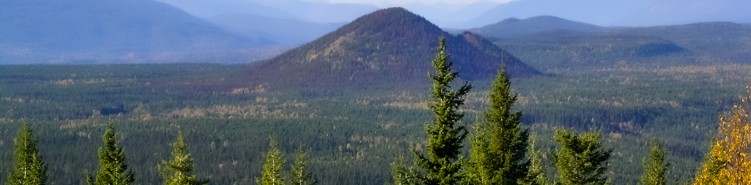
The Trophy Meadows Trail is a 6.5mi out-and-back hiking route in Wells Gray Provincial Park that will take you uphill through various types of terrain to a viewpoint overlooking Sheila Lake before descending down to its calm shores. Along the trail, you will hike through a beautiful subalpine meadow and traverse a small ridge, where you will have some amazing views of the surrounding mountains. For the moderate amount of effort required, this is a fantastic day-hike from Clearwater that should be on your list.
Getting there
To access the trailhead for the Trophy Meadows Trail from Clearwater, make your north on Clearwater Valley Road for 7.0mi and make a right turn onto Spahats Creek FSR. After 2.6mi, make a left and continue on for 5.4mi to arrive at the trailhead.

About
| When to do | May-October |
| Backcountry Campsites | No |
| Pets allowed | Yes |
| Family friendly | Older Children only |
| Route Signage | Average |
| Crowd Levels | Moderate |
| Route Type | Out and back |
Trophy Meadows Trail
Elevation Graph
Weather
Trophy Meadows Trail Description
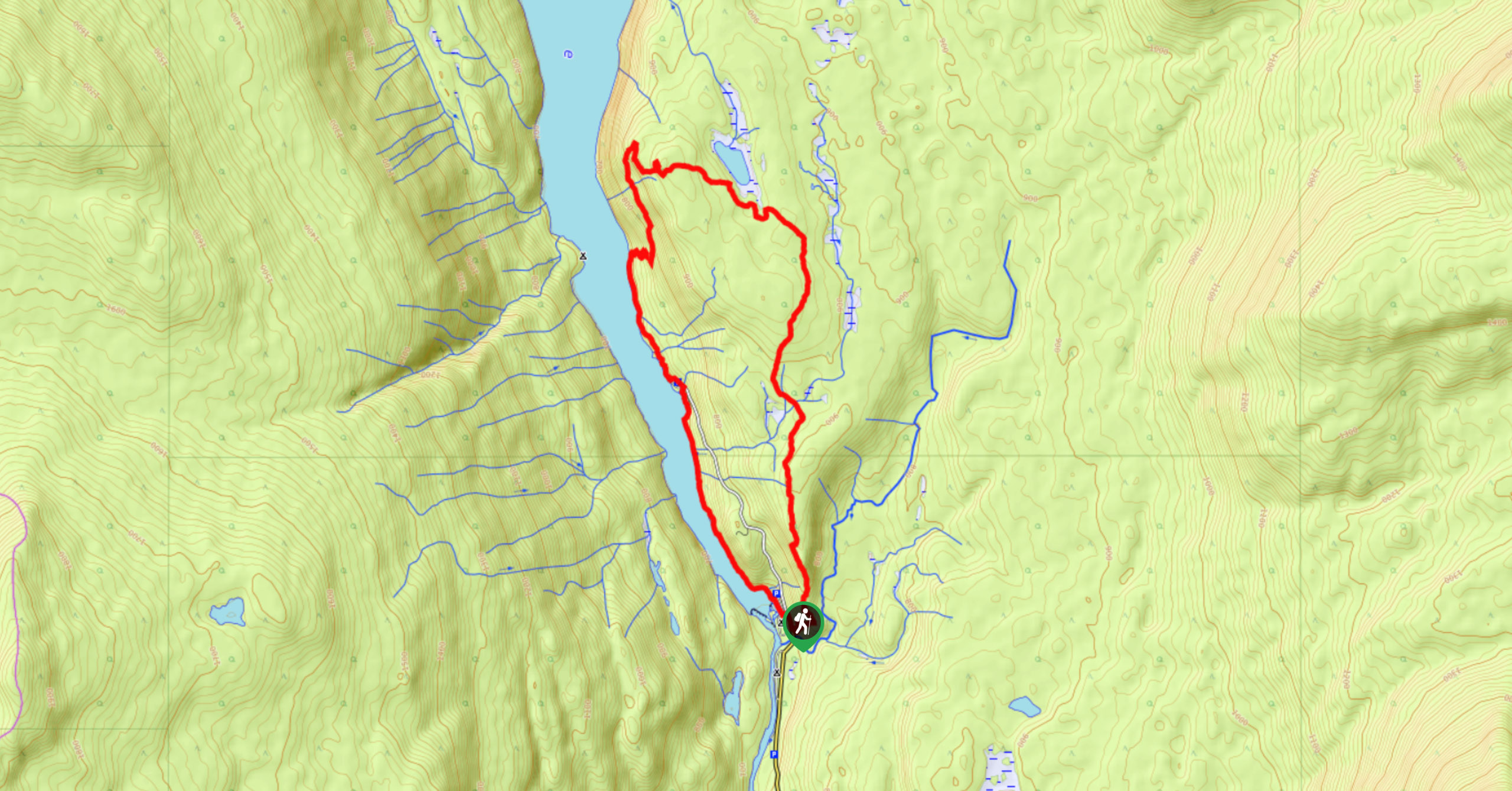
Hiking the Trophy Meadows Trail is an amazing outdoor experience in the Clearwater area due to the nice variations in terrain and the amazing scenery that can be witnessed from the top of the trail. The route sets out from the parking area and heads to the north through a somewhat recently cleared stretch of trees before entering into the shady canopy of the forest. Take some time to enjoy the protection from the sun on this initial part of the hike, as the remainder of the trail will be largely exposed. After working your way through the trees, you will eventually break out into a gorgeous subalpine meadow with views of Trophy Mountain to the northeast.
From here, climb your way up the short ridge to a fork and follow the path to the right to access a viewpoint overlooking Sheila Lake. After taking in the views, head back to the fork and take the path to the right to descend to the tranquil shores of the lake. Spend some time by the water’s edge and relax in the pristine remote landscape before making your way back along the same trail to return to your vehicle at the trailhead.
Similar hikes to the Trophy Meadows Trail hike
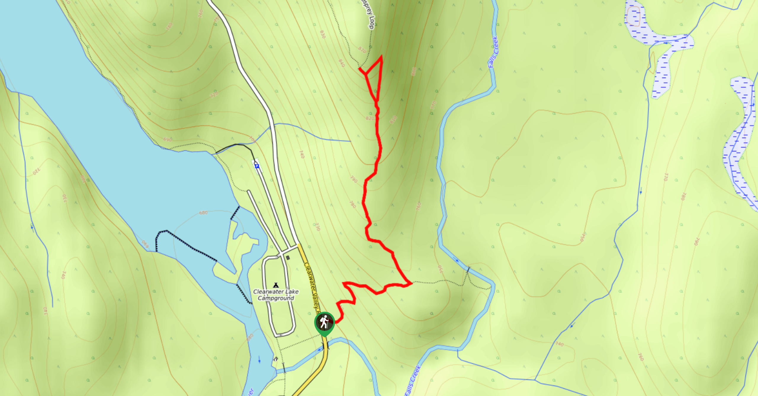
Osprey Viewpoint
The trek to the Osprey Viewpoint follows a 1.5mi out-and-back hiking route that climbs uphill along a forest…
Pyramid Mountain
The trek up Pyramid Mountain follows a 5.8mi out-and-back hiking route in Wells Gray Provincial Park that provides…
Chain Meadows Loop
The Chain Meadows Loop is a 8.8mi hiking circuit in Wells Gray Provincial Park that traverses some pleasant…
Comments