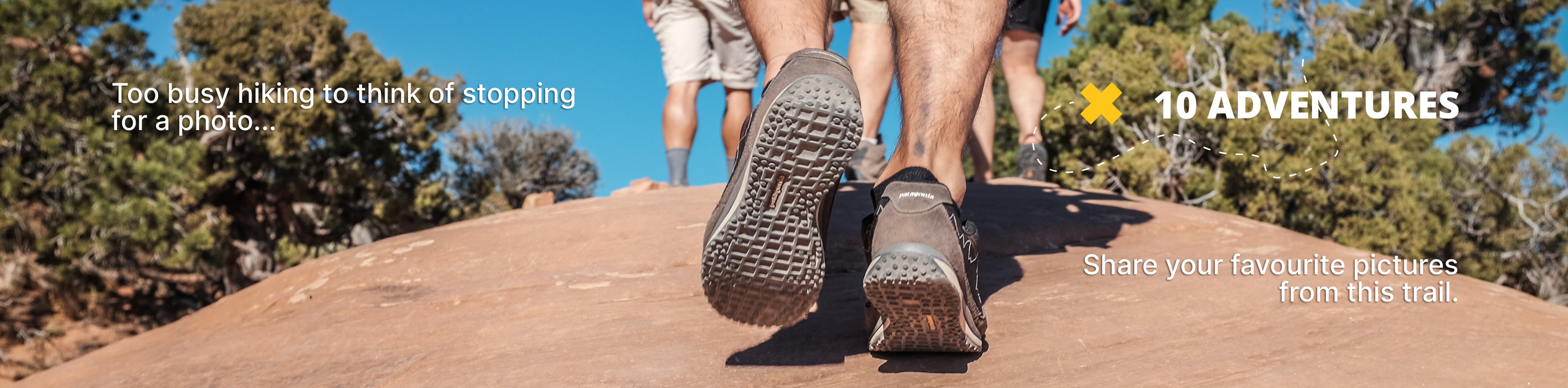
Bailey’s Chute
View Photos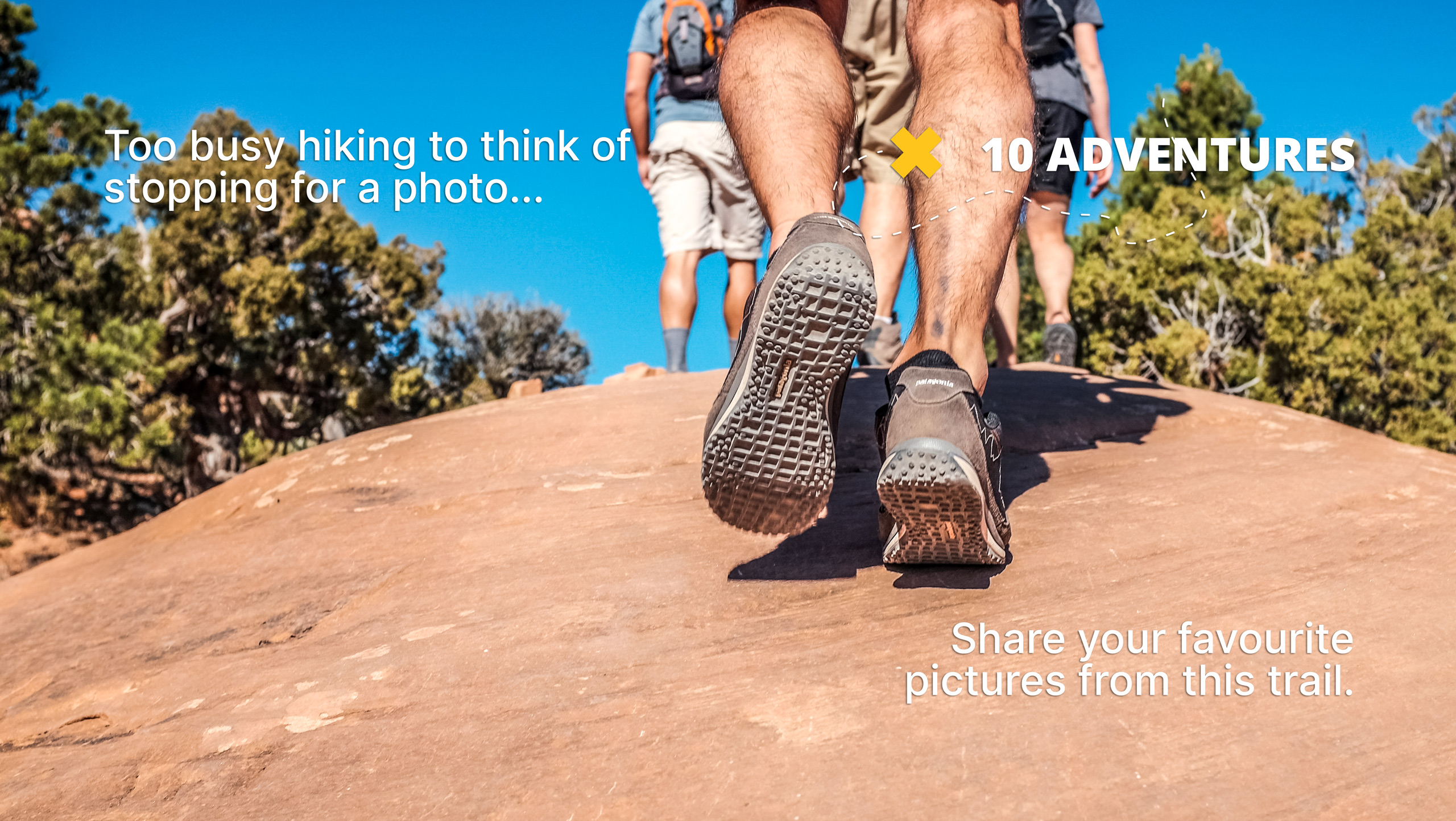
Bailey’s Chute
Difficulty Rating:
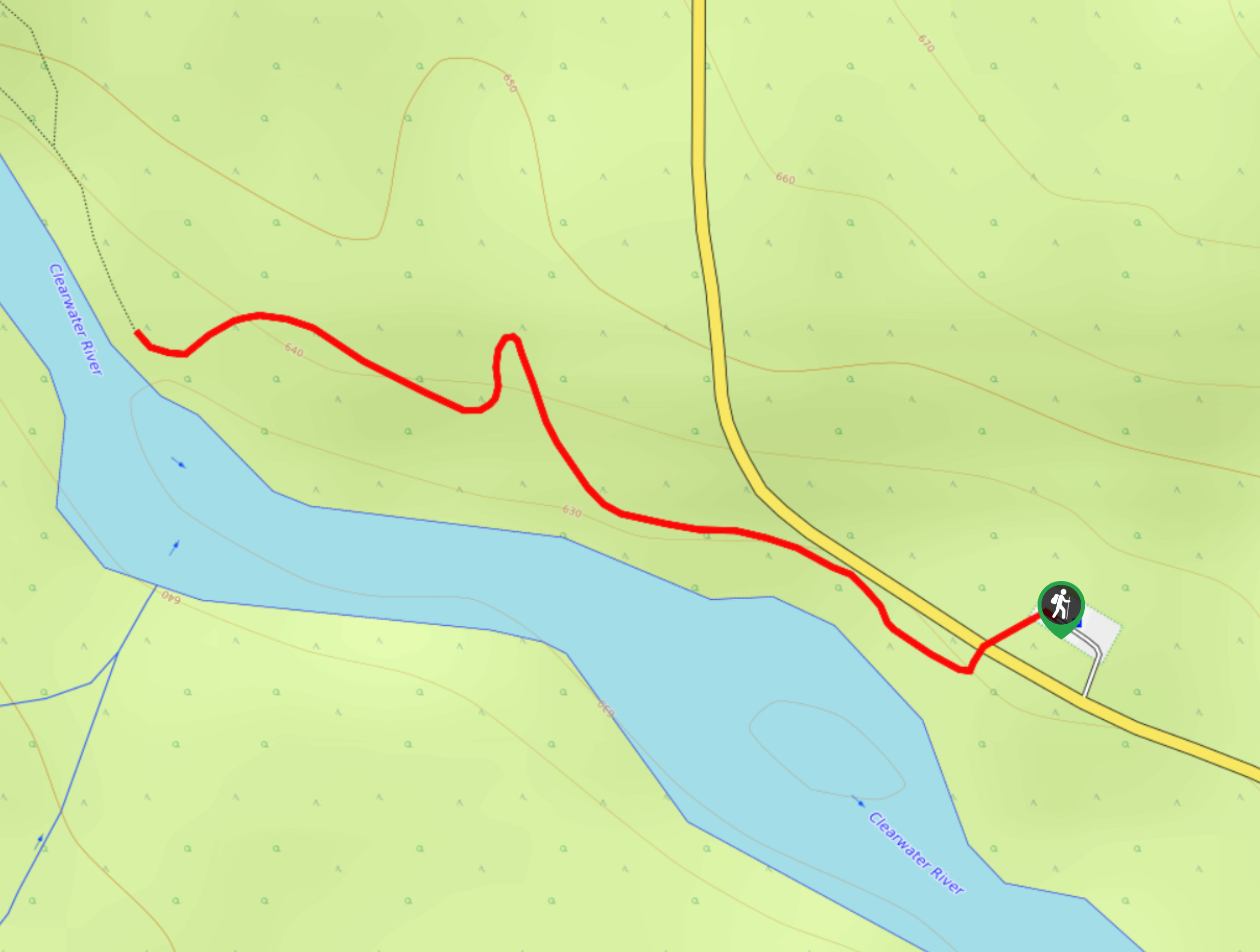
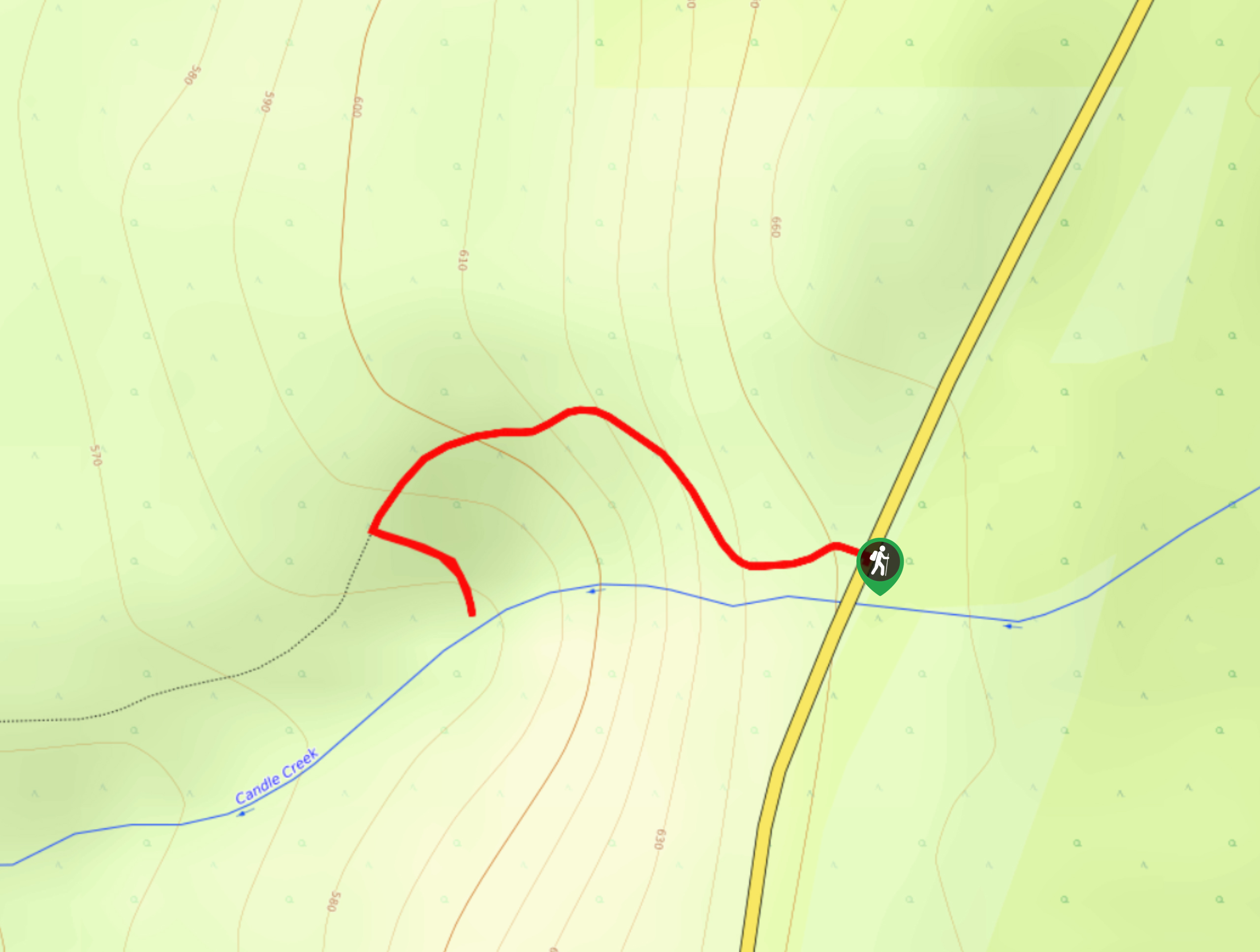
The trek to Bailey’s Chute follows a 0.8mi out-and-back hiking route that will take you along the edge of the Clearwater River to a waterfall with rapids. Along the trail, you will be able to experience a peaceful forest setting that contrasts with the powerful river before taking in the sights of the torrenting water crashing over the rocks. For very little effort, this is an amazingly scenic route that can be enjoyed by hikers of every skill level.
Getting there
To access the parking area for Bailey’s Chute from Clearwater, make your way north on Clearwater Valley Road for 35.2mi to find the parking lot on the right.

About
| When to do | June-September |
| Backcountry Campsites | No |
| Pets allowed | Yes - On Leash |
| Family friendly | Yes |
| Route Signage | Average |
| Crowd Levels | Moderate |
| Route Type | Out and back |
Bailey’s Chute
Elevation Graph
Weather
Bailey’s Chute Trail Description
Hiking the Bailey’s Chute Trail is a short but scenic experience that will fully display the raw power and natural beauty of the landscape within Wells Gray Provincial Park. Setting out from the parking area, cross over Clearwater Valley Road and make your way into the forest along the trail heading to the west. As you hike through the cover of the forest, the sound of the rushing water will become louder as you make your way closer to the edge of the river. Eventually, you will arrive at the viewpoint overlooking the churning waters of Bailey’s Chute. After taking in the amazing views of the Clearwater River, head back along the same trail to return to the parking area.
Similar hikes to the Bailey’s Chute hike
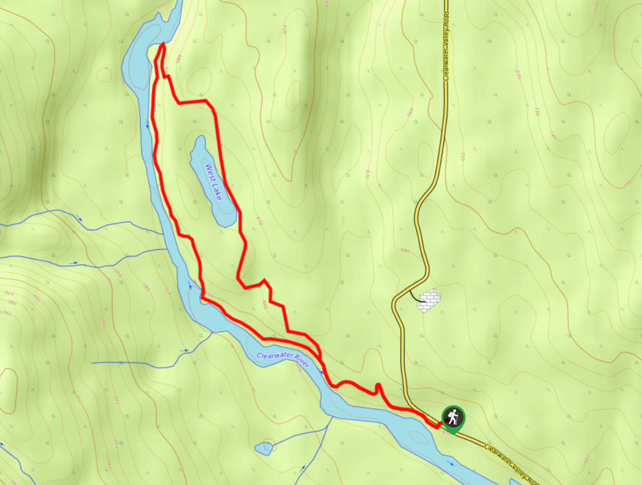
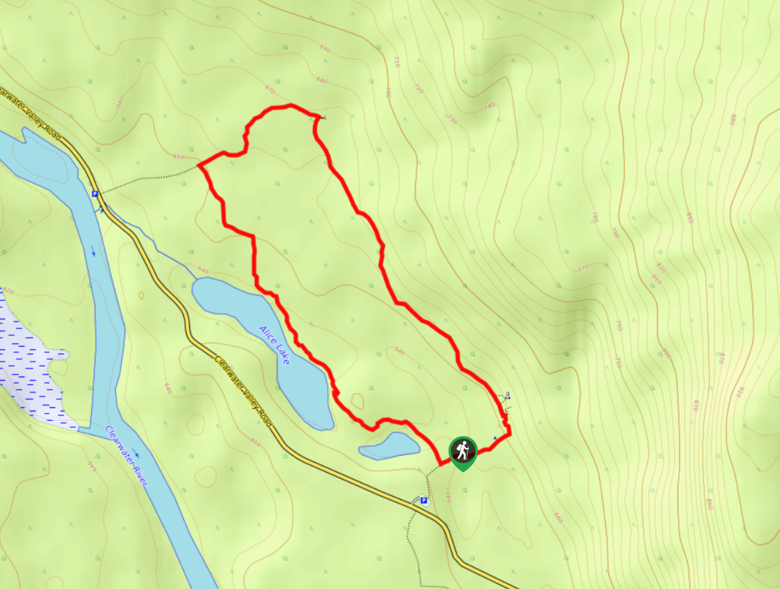
West Lake Loop
The West Lake Loop is a 3.3mi lollipop hiking route within Wells Gray Provincial Park that meanders through…
Ray’s Farm & Mineral Springs Loop Trail
The Ray’s Farm & Mineral Springs Loop is a 2.4mi hiking circuit north of Clearwater, BC, that will…
Triple Decker Falls Trail
The trek to Triple Decker Falls utilizes a 0.5mi out-and-back hiking route near Clearwater, BC that passes through…
Comments