
Ray’s Farm & Mineral Springs Loop Trail
View Photos
Ray’s Farm & Mineral Springs Loop Trail
Difficulty Rating:
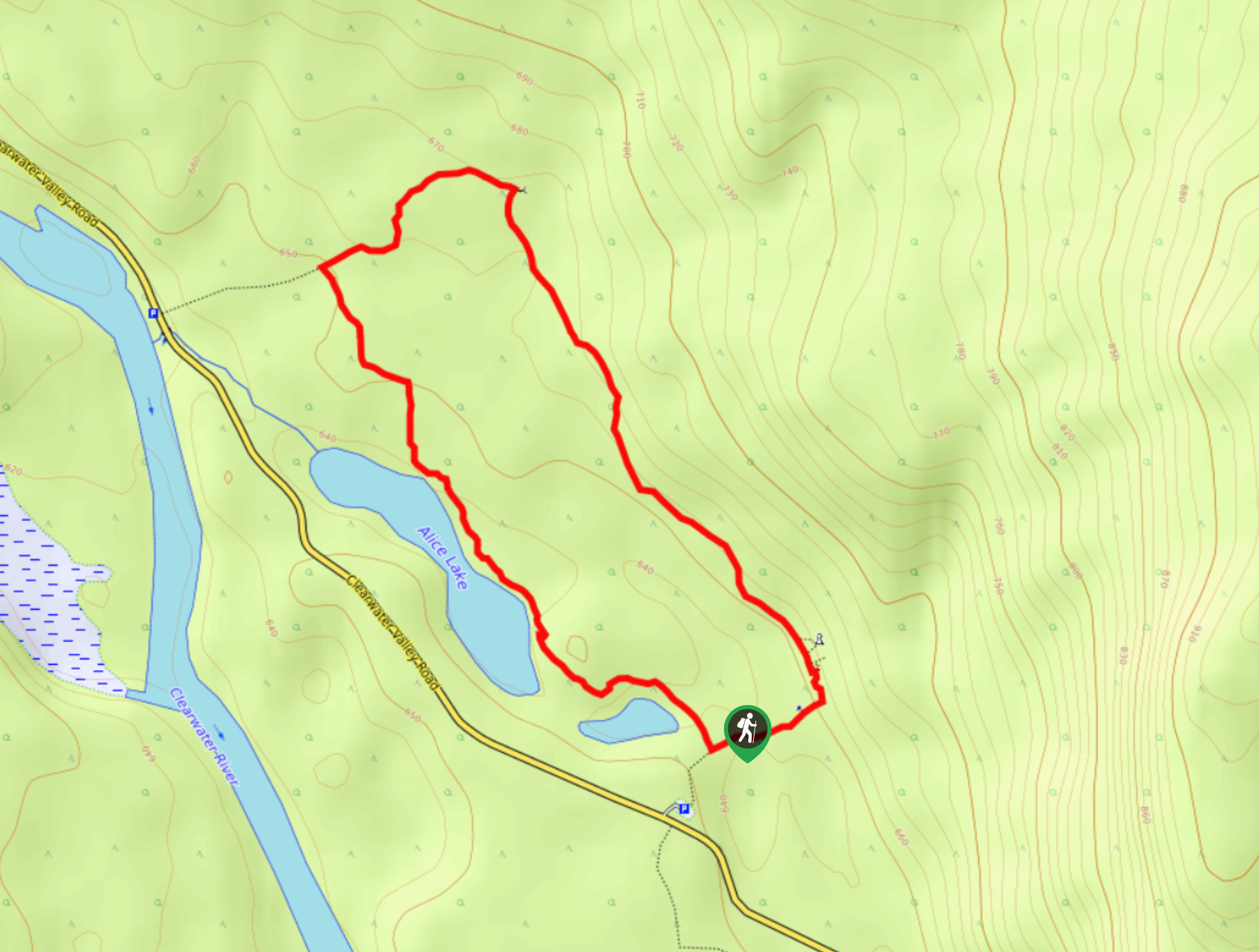
The Ray’s Farm & Mineral Springs Loop is a 2.4mi hiking circuit north of Clearwater, BC, that will take you on a scenic loop through forests and meadows to arrive at the site of a historic farm. While the historic buildings have been left to decay naturally, they stand as a testament to the pioneer way of living that was prevalent throughout the recent history of the North Thompson Valley. Make sure to bring bear spray along for this hike, as wolves and bears are often spotted in the area around the trail.
Getting there
To reach the trailhead for the Ray’s Farm & Mineral Springs Loop from Clearwater, head north on Clearwater Valley Road for 33.7mi, where you will find the parking area on the right.

About
| When to do | April-October |
| Backcountry Campsites | No |
| Pets allowed | Yes - On Leash |
| Family friendly | Yes |
| Route Signage | Average |
| Crowd Levels | Low |
| Route Type | Circuit |
Ray’s Farm & Mineral Springs Loop Trail
Elevation Graph
Weather
Ray’s Farm & Mineral Springs Trail Description
Hiking the Ray’s Farm & Mineral Springs Loop is an amazing adventure that will appeal to both outdoor enthusiasts and history lovers due to the beautiful scenery and historic farm that can be found along the trail. The route sets out from the parking area and works through a scenic stretch of forest before breaking free of the tree cover and entering charming meadows. From here, hikers will be able to spot the various buildings that once made up the farm of John Ray and his family, all of whom lived a subsistence lifestyle in this pristine landscape. Further along the trail, you will come to the mineral springs that served as a source of freshwater for the farm. As you continue along the trail loop and take in the peaceful setting of Wells Gray Provincial Park, you will eventually find yourself back at the trailhead where you began your hike.
Similar hikes to the Ray’s Farm & Mineral Springs Loop Trail hike
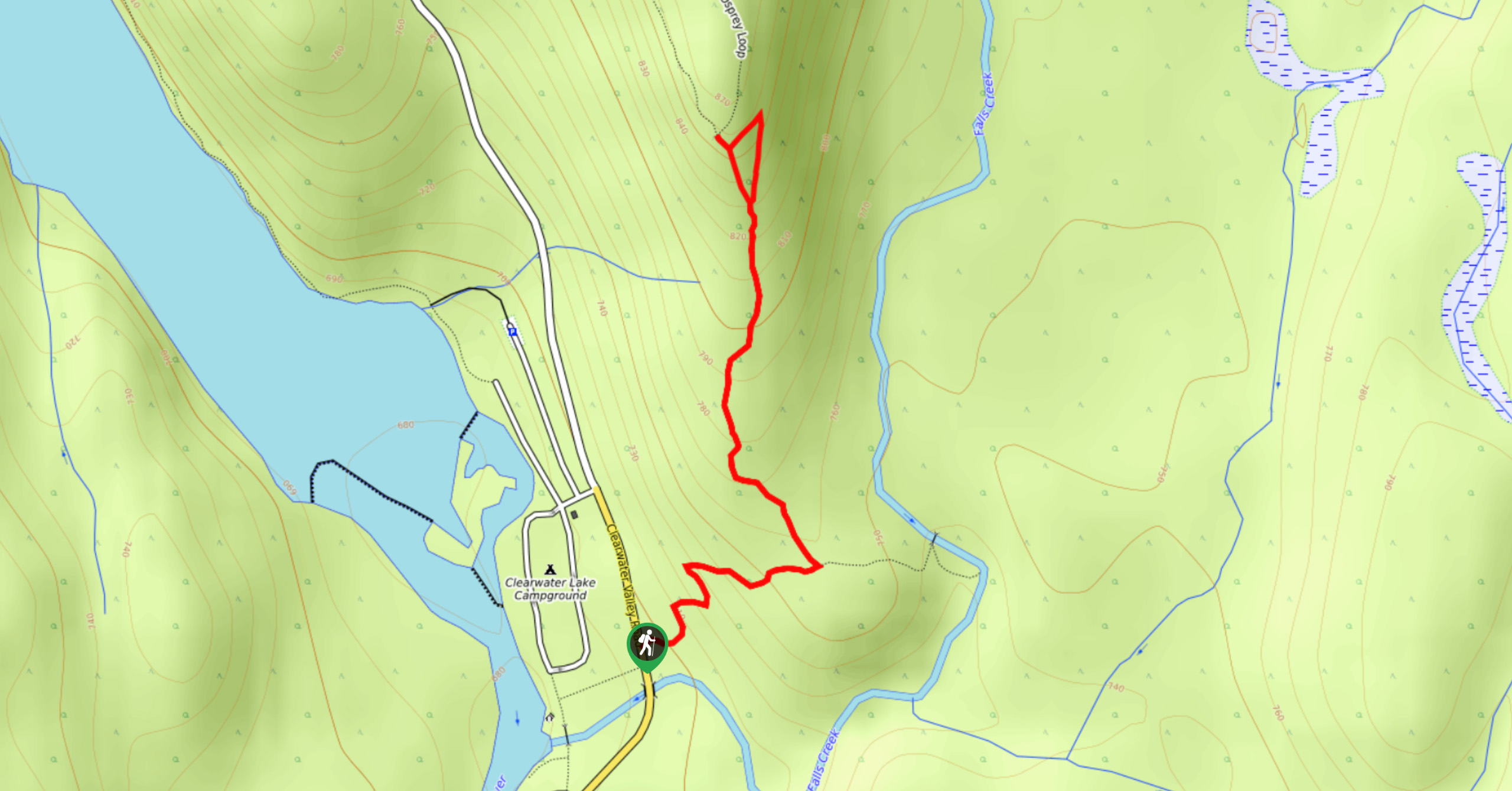
Osprey Viewpoint
The trek to the Osprey Viewpoint follows a 1.5mi out-and-back hiking route that climbs uphill along a forest…
Pyramid Mountain
The trek up Pyramid Mountain follows a 5.8mi out-and-back hiking route in Wells Gray Provincial Park that provides…
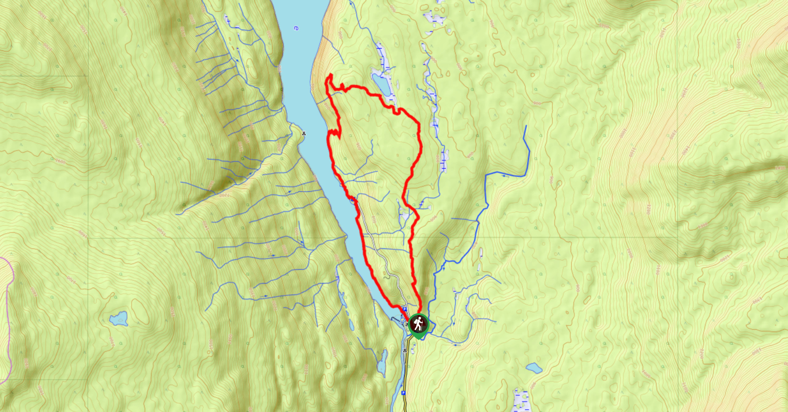
Chain Meadows Loop
The Chain Meadows Loop is a 8.8mi hiking circuit in Wells Gray Provincial Park that traverses some pleasant…
Comments