
Silvertip Falls Trail
View Photos
Silvertip Falls Trail
Difficulty Rating:
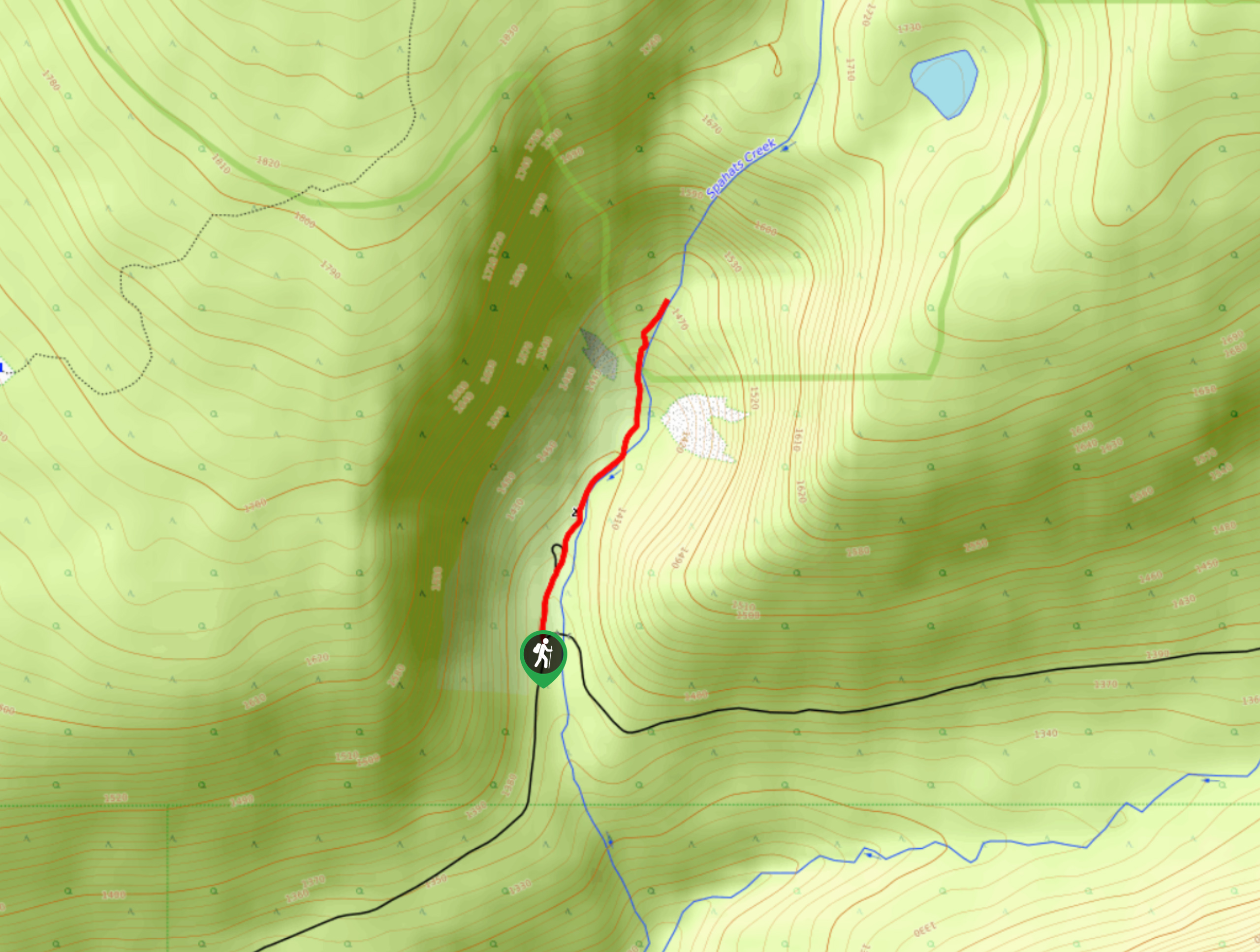
The Silvertip Falls Trail is a 1.3mi out-and-back hiking route in Wells Gray Provincial Park that will take you on a forested path to reach a viewpoint looking out onto the falls. Along the trail, you will hike through a peaceful forest setting that runs alongside Spahats Creek before arriving at the rugged rock formation and cascading waters of Silvertip Falls. Although this route is short and fairly straightforward, there are few markings along the trail, so you might want to bring a map or GPS in order to stay on track.
Getting there
To reach the trailhead for the Silvertip Falls Trail from Clearwater, head north on Clearwater Valley Road for 7.0mi and turn right onto Spahats Creek FSR. After 2.6mi, turn right and continue on for another 1.6mi, where you will find the trailhead on the left.

About
| When to do | April-October |
| Backcountry Campsites | Silvertip Falls Recreation Site |
| Pets allowed | Yes - On Leash |
| Family friendly | Older Children only |
| Route Signage | Poor |
| Crowd Levels | Moderate |
| Route Type | Out and back |
Silvertip Falls Trail
Elevation Graph
Weather
Silvertip Falls Trail Description
Hiking the Silvertip Falls Trail is an amazing adventure that will allow you to experience the natural beauty of Wells Gray Provincial Park and the raw power of the Silvertip Falls. The trail sets out from the side of the road and heads north through a clearing in the trees that leads to the Silvertip Falls Recreation Site. From here, you will enter into the thick cover of the forest and continue north on a route that follows closely alongside the rushing water of Spahats Creek. After roughly 1km of hiking through the pristine woodland atmosphere, you will arrive at a viewpoint where you can look out over the impressive rock formation of the Silvertip Falls and the torrent of water flowing over its surface. After taking in the views, make your way back along the same trail through the forest.
Similar hikes to the Silvertip Falls Trail hike
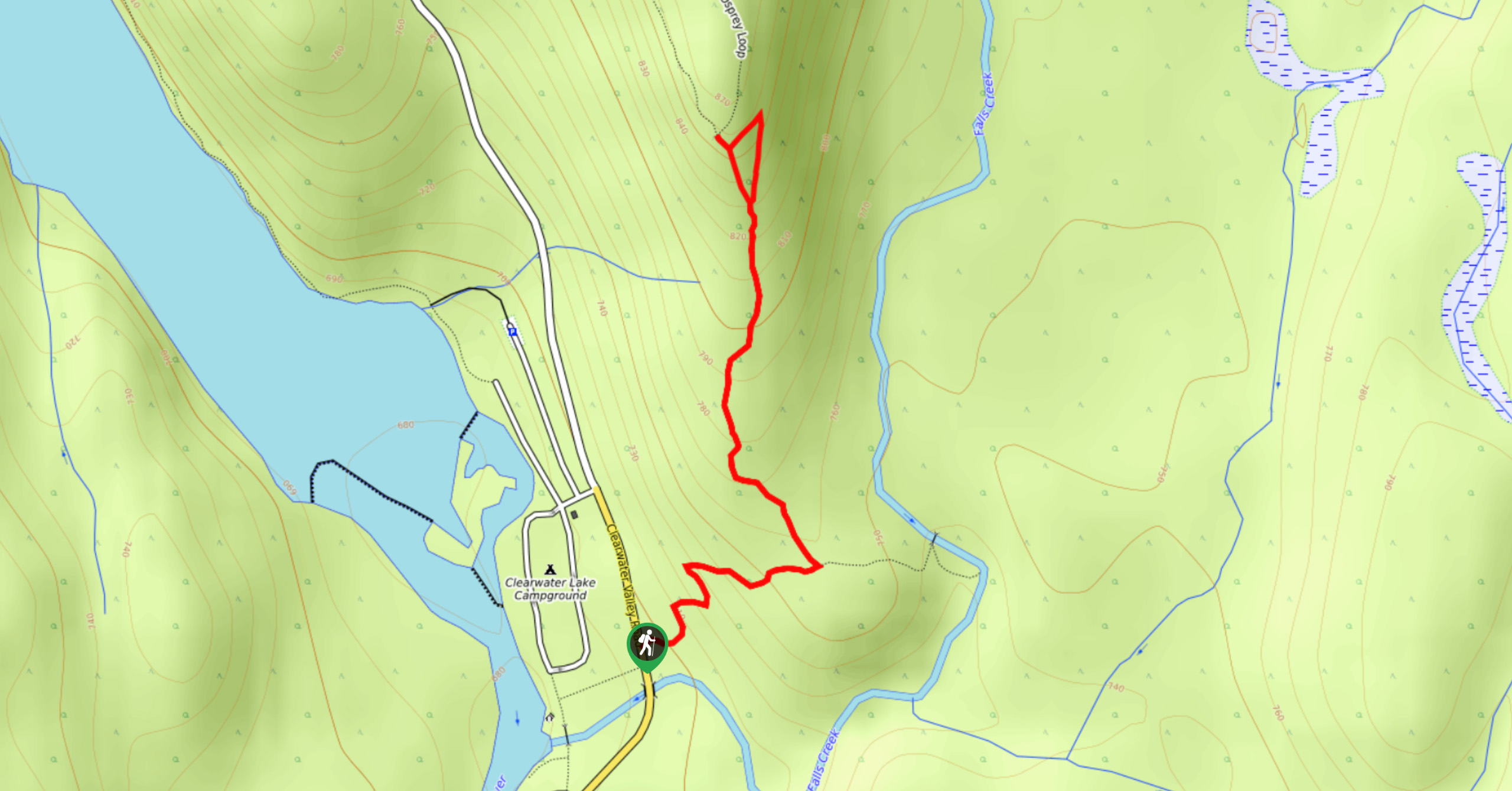
Osprey Viewpoint
The trek to the Osprey Viewpoint follows a 1.5mi out-and-back hiking route that climbs uphill along a forest…
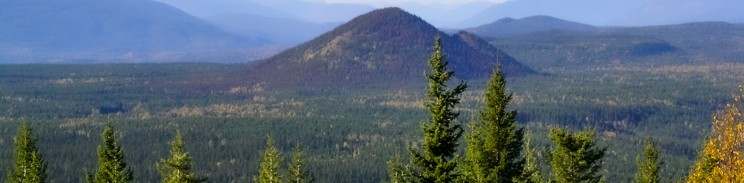
Pyramid Mountain
The trek up Pyramid Mountain follows a 5.8mi out-and-back hiking route in Wells Gray Provincial Park that provides…
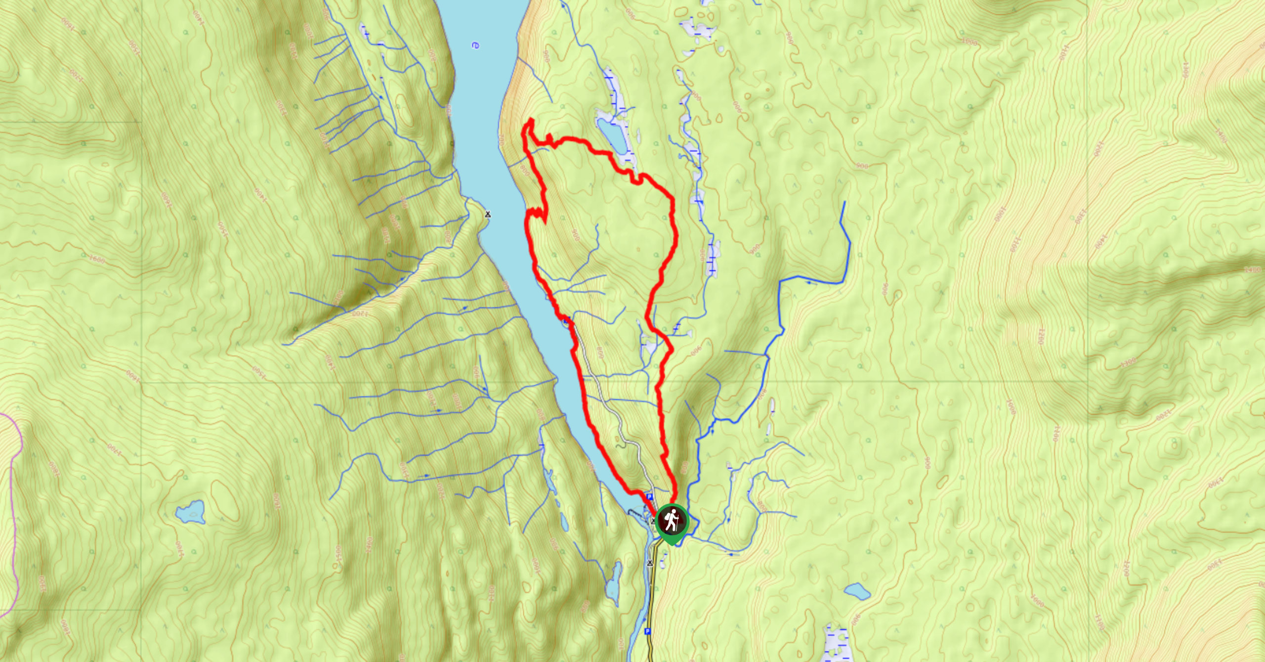
Chain Meadows Loop
The Chain Meadows Loop is a 8.8mi hiking circuit in Wells Gray Provincial Park that traverses some pleasant…
Comments