Pyramid Mountain
View Photos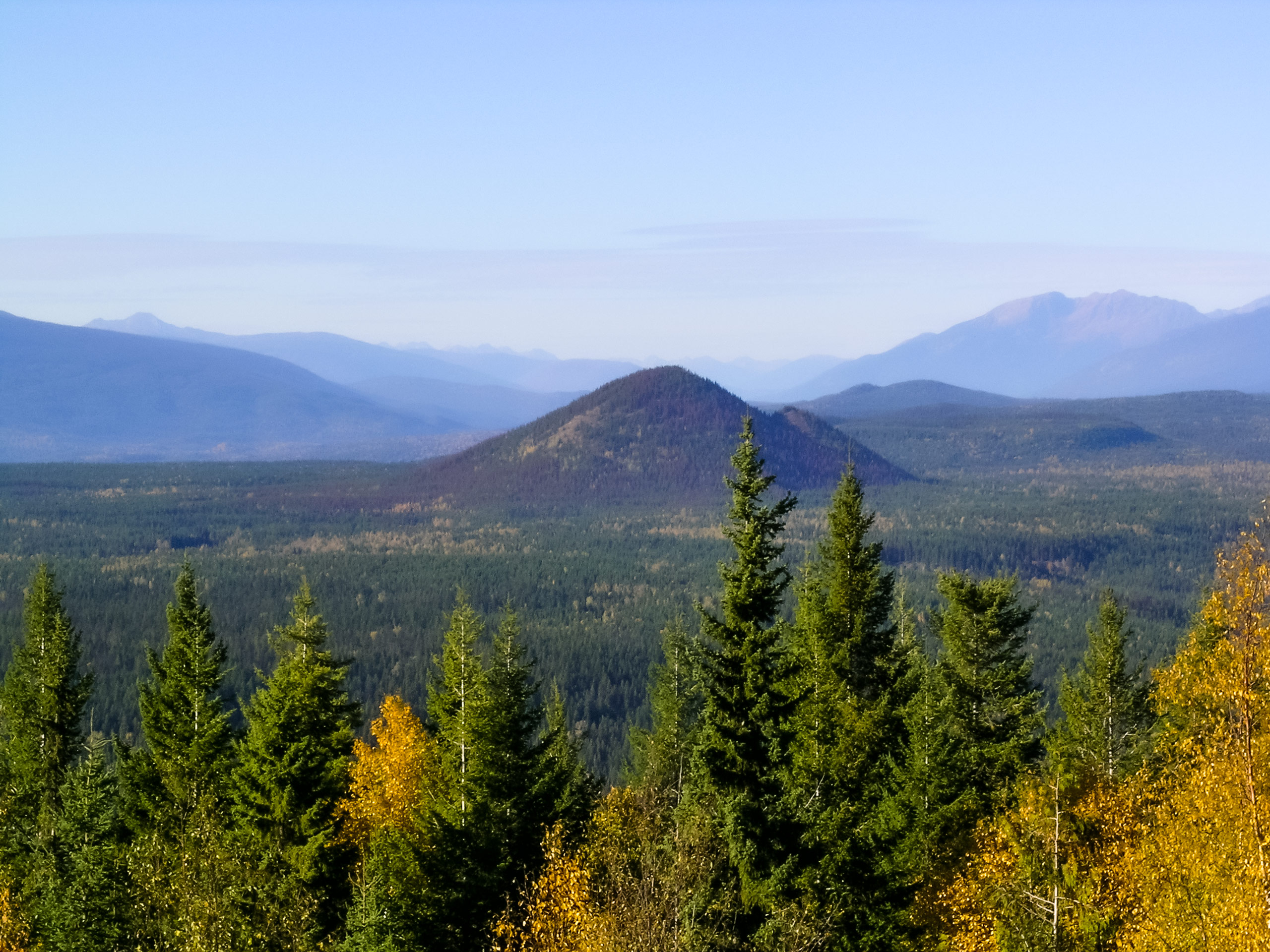
Pyramid Mountain
Difficulty Rating:
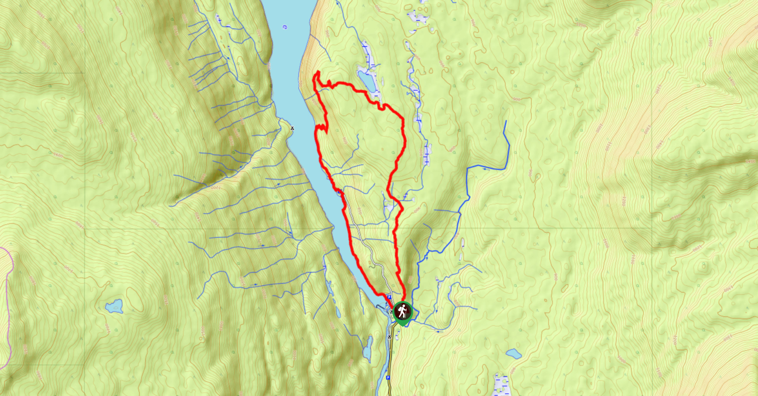
The trek up Pyramid Mountain follows a 5.8mi out-and-back hiking route in Wells Gray Provincial Park that provides some scenic views overlooking the Murtle River. The trail itself is well-maintained and largely forested before ascending a series of switchbacks up to the summit through some lighter, more exposed sections of woodland. Make sure to pack bug repellent for your hike, as flies and mosquitoes can be a nuisance along the trail, especially in the heat of the summer.
Getting there
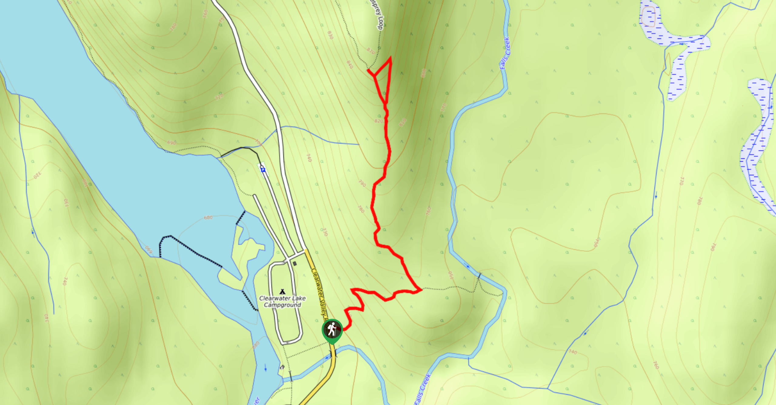
To reach the trailhead for Pyramid Mountain from Clearwater, head north on Clearwater Valley Road for 26.0mi and turn right. From here, continue on for 0.7mi to find the parking area on the left.

About
| When to do | April-October |
| Backcountry Campsites | Pyramid Campground |
| Pets allowed | Yes - On Leash |
| Family friendly | Older Children only |
| Route Signage | Average |
| Crowd Levels | Moderate |
| Route Type | Out and back |
Pyramid Mountain
Elevation Graph
Weather
Pyramid Mountain Trail Description
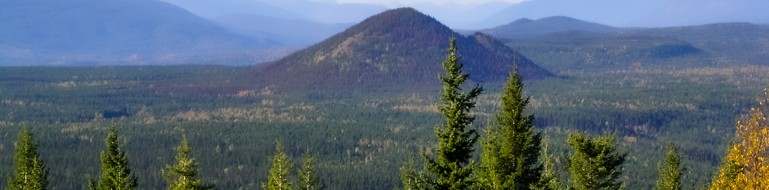
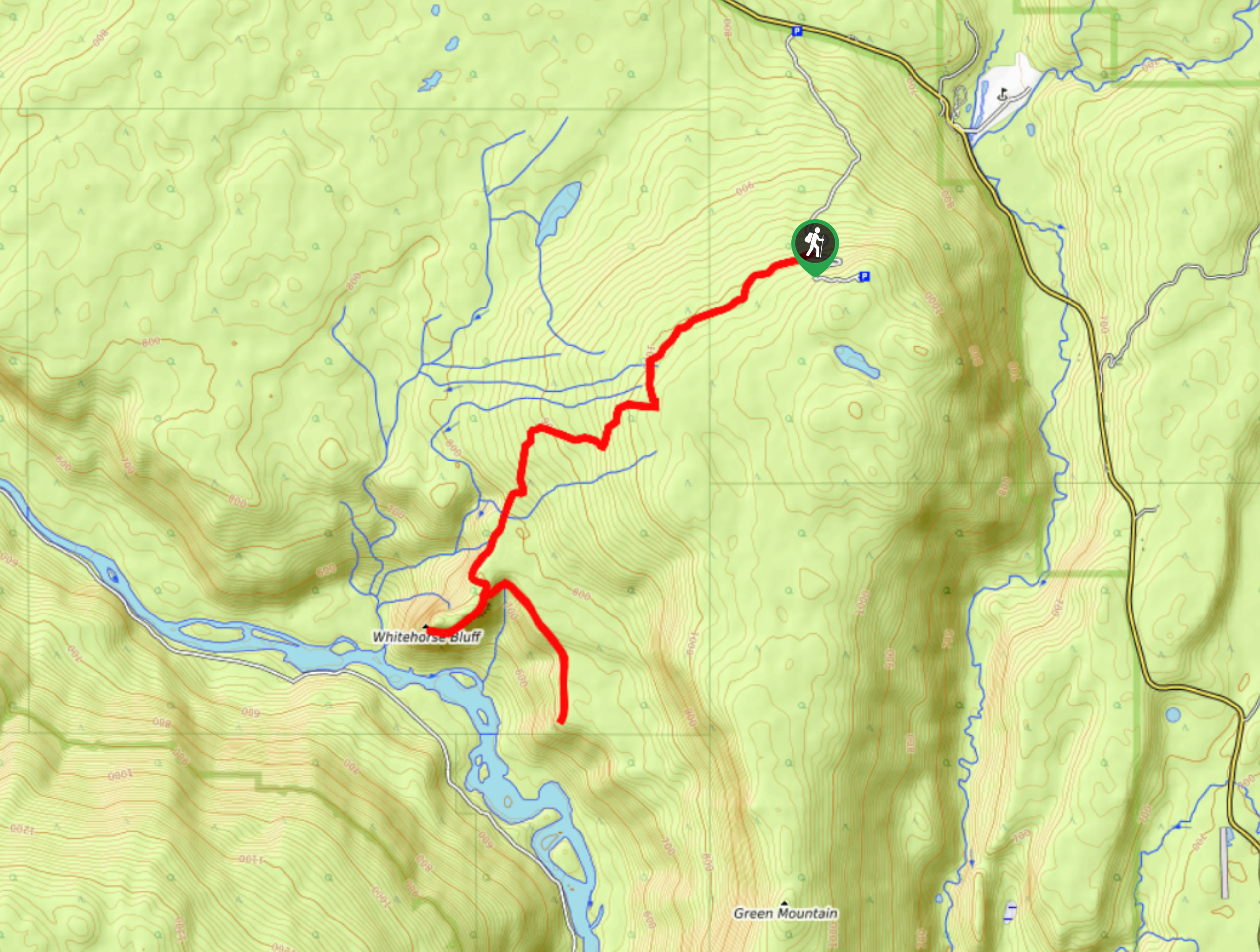
Hiking the Pyramid Mountain trail is a great half-day hike through the forest that will take you uphill for some scenic views of the surrounding landscape. The trail sets out near the Pyramid Campground and heads to the northeast through the forest. As this initial stretch is heavily wooded, take some time so relax in the calm forest atmosphere before you move onto the more strenuous part of the hike. As you come to the western slope of Pyramid Mountain, you will be met with a trail junction that breaks off to the right towards the summit. Follow this path to traverse a series of switchbacks that work their way up the lightly forested mountain to the viewpoint. Once at the top, you will have a commanding view over the surrounding landscape and can spot the Murtle River winding around the foot of the mountain. After taking in the views, work your way back along the same trail to return to the parking area.
Similar hikes to the Pyramid Mountain hike
Osprey Viewpoint
The trek to the Osprey Viewpoint follows a 1.5mi out-and-back hiking route that climbs uphill along a forest…
Chain Meadows Loop
The Chain Meadows Loop is a 8.8mi hiking circuit in Wells Gray Provincial Park that traverses some pleasant…
Whitehorse Bluff Trail
The Whitehorse Bluff Trail is a 10.7mi out-and-back hiking route in Wells Gray Provincial Park that gradually climbs…
Comments