Whitehorse Bluff Trail
View Photos
Whitehorse Bluff Trail
Difficulty Rating:
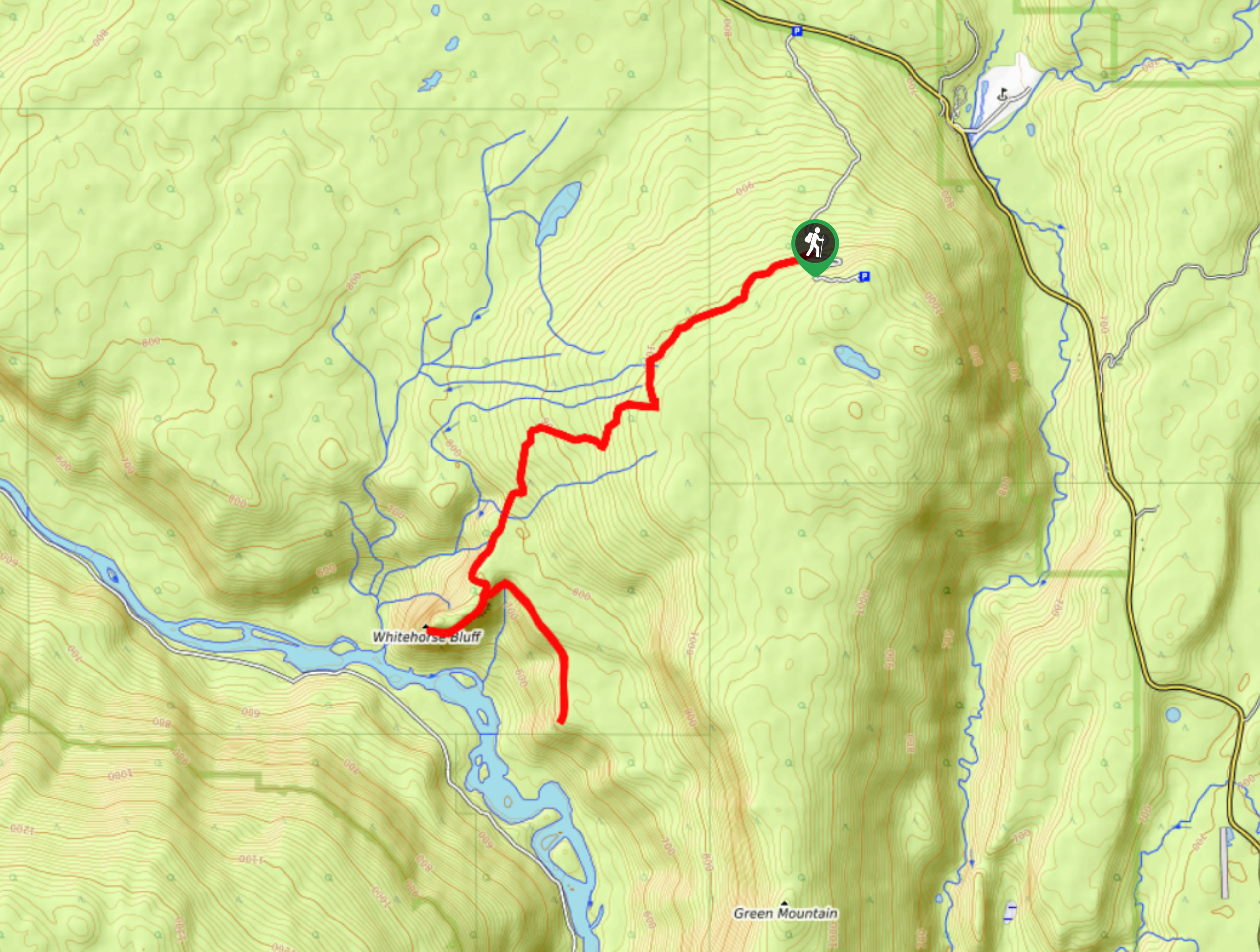
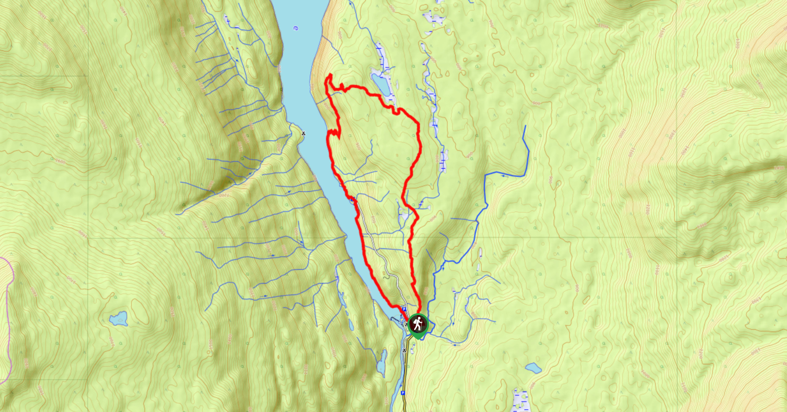
The Whitehorse Bluff Trail is a 10.7mi out-and-back hiking route in Wells Gray Provincial Park that gradually climbs uphill to arrive at a rocky lookout point. Along the trail you will hike through a scenic forest setting and experience some amazing views that sweep across the woodland valley and the snaking Clearwater River below. Although the trail is well-marked and made up of favourable terrain, it is often bogged down with mud, especially after a heavy rain or during the shoulder seasons. Make sure to wear proper hiking footwear to better traverse these conditions.
Getting there
To reach the trailhead for the Whitehorse Bluff Trail from Clearwater, make your way north along Clearwater Valley Road for 22.4mi and turn left. Continue on for 1.5mi to find a small parking area on the outside bend of the road.

About
| When to do | May-October |
| Backcountry Campsites | No |
| Pets allowed | Yes - On Leash |
| Family friendly | Older Children only |
| Route Signage | Average |
| Crowd Levels | Low |
| Route Type | Out and back |
Whitehorse Bluff Trail
Elevation Graph
Weather
Whitehorse Bluff Trail Description:
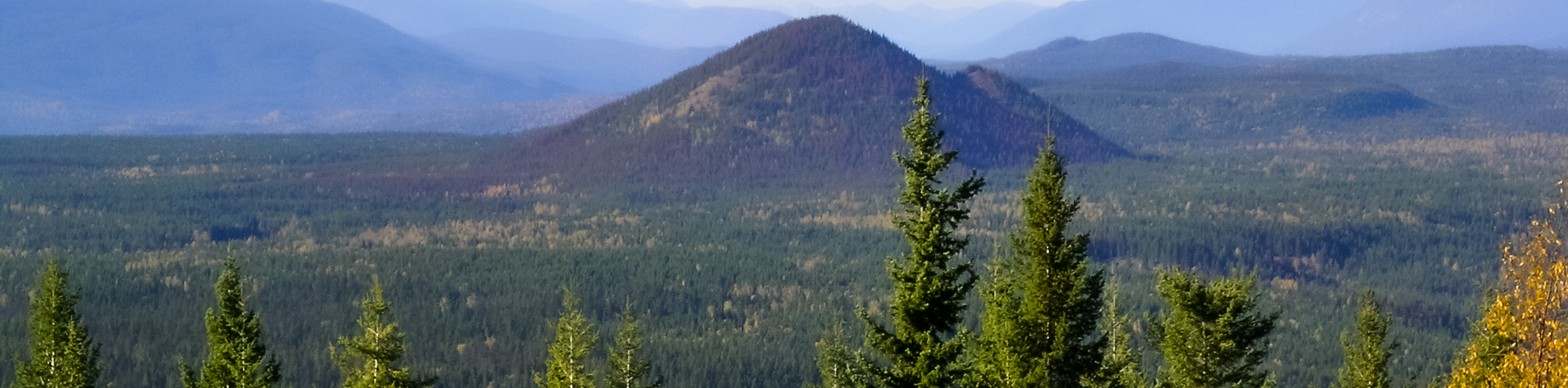
Hiking the Whitehorse Bluff Trail is a fun adventure in the forest that will take you up to one of the best viewpoints overlooking the coursing waters of the Clearwater River. The route sets out from the parking area and enters into the thick cover of the forest canopy that will dominate the majority of the hike. Although the dense tree cover offers some nice protection from the sun, it also welcomes bugs, so make sure to bring some repellent along for your hike. Continue along the trail as it gradually climbs uphill before steepening on the final approach to the series of viewpoints overlooking the valley. Carefully make your way along the rocky bluff for a bird’s eye view of the Clearwater River cutting through the lush valley to the northwest. After taking in the views and exploring this elevated part of the landscape, head back along the same trail to return to the parking area.
Similar hikes to the Whitehorse Bluff Trail hike
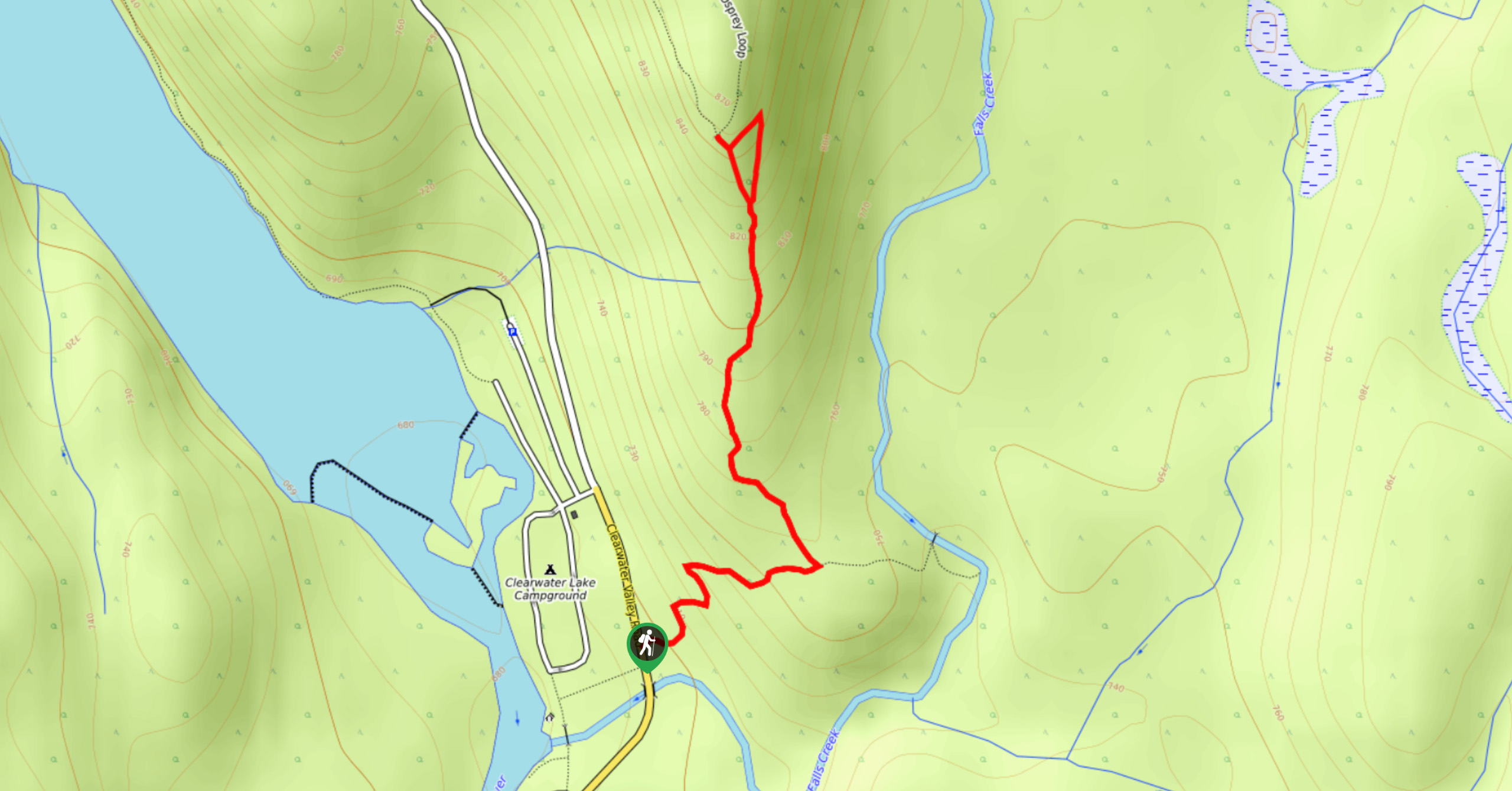
Osprey Viewpoint
The trek to the Osprey Viewpoint follows a 1.5mi out-and-back hiking route that climbs uphill along a forest…
Pyramid Mountain
The trek up Pyramid Mountain follows a 5.8mi out-and-back hiking route in Wells Gray Provincial Park that provides…
Chain Meadows Loop
The Chain Meadows Loop is a 8.8mi hiking circuit in Wells Gray Provincial Park that traverses some pleasant…
Comments