
Osprey Viewpoint
View Photos
Osprey Viewpoint
Difficulty Rating:
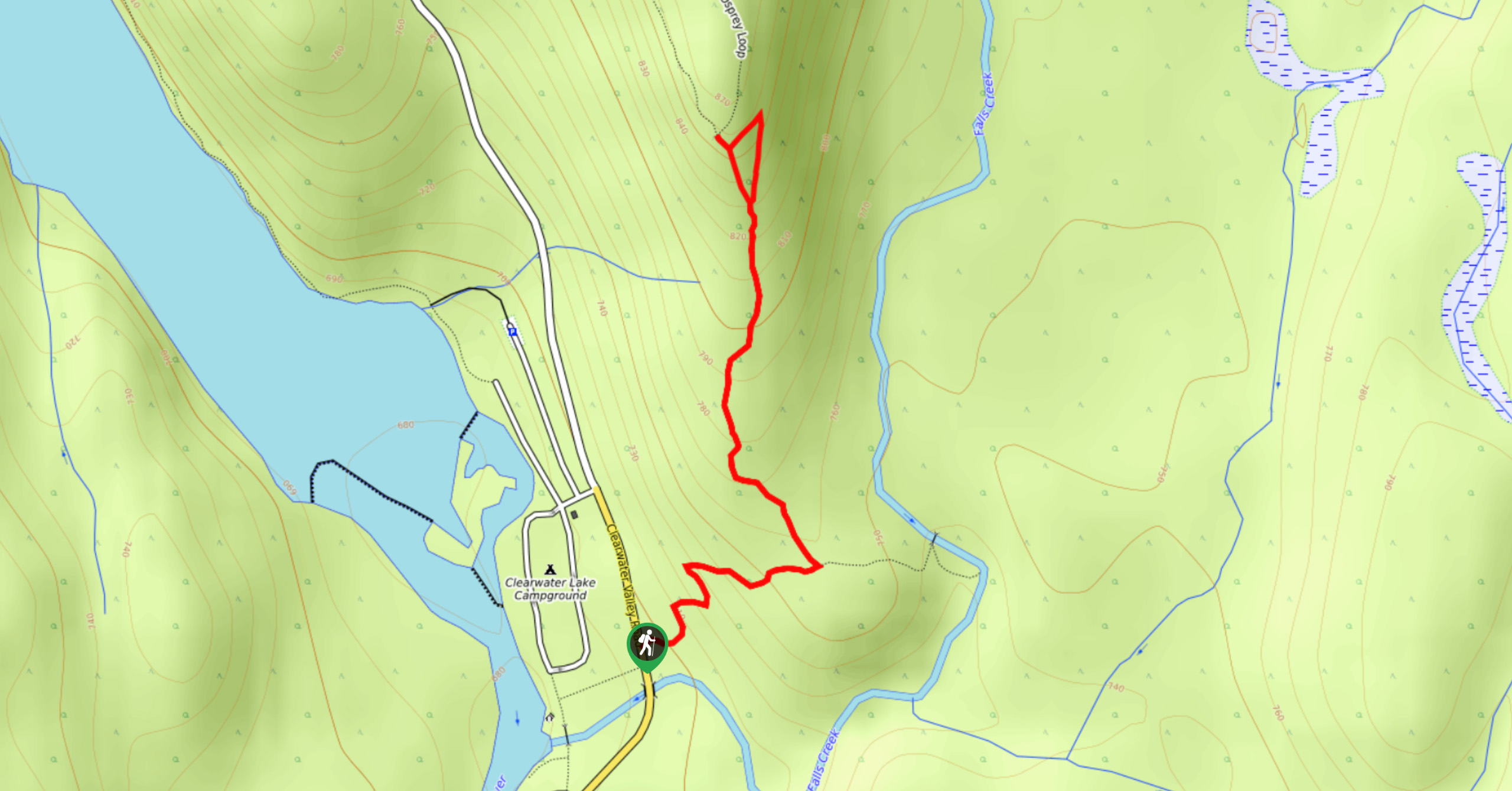
The trek to the Osprey Viewpoint follows a 1.5mi out-and-back hiking route that climbs uphill along a forest ridge for some nice views overlooking the Clearwater Valley. Along the trail, you will experience a wonderful forest setting as you traverse a series of mild switchbacks to the ridgetop. Although the views of the Osprey Falls are not great from this distance - they are only 10ft tall after all - the commanding sightline that sweeps across Wells Gray Provincial Park is more than enough reward for your effort.
Getting there
To reach the trailhead for the Osprey Viewpoint from Clearwater, make your way north on Clearwater Valley Road for 40.4mi to find the trailhead on the right side of the road.

About
| When to do | April-October |
| Backcountry Campsites | Clearwater Lake Campground |
| Pets allowed | Yes - On Leash |
| Family friendly | Older Children only |
| Route Signage | Average |
| Crowd Levels | Moderate |
| Route Type | Out and back |
Osprey Viewpoint
Elevation Graph
Weather
Osprey Viewpoint Trail Description
Although it is only a short hike, the Osprey Viewpoint trail offers a little bit of everything for hikers of all skill levels. From scenic valley views to winding forest pathways, there is sure to be something that you will enjoy along this fun excursion in Wells Gray Provincial Park. Setting out from the trailhead, follow the path into the dense forest, as it begins to work uphill along a series of mild switchbacks. Reaching a junction in the trail, follow the path to the left to make your way to the top of the ridge, where you will find the viewpoint. From this hilltop perch, you will be able to enjoy some nice views of the surrounding forests, mountains, and of course the blue expanse of Clearwater Lake below. After taking in the views, make your way back down along the same trail to return to the parking area, ready to head out on your next adventure.
Similar hikes to the Osprey Viewpoint hike
Pyramid Mountain
The trek up Pyramid Mountain follows a 5.8mi out-and-back hiking route in Wells Gray Provincial Park that provides…
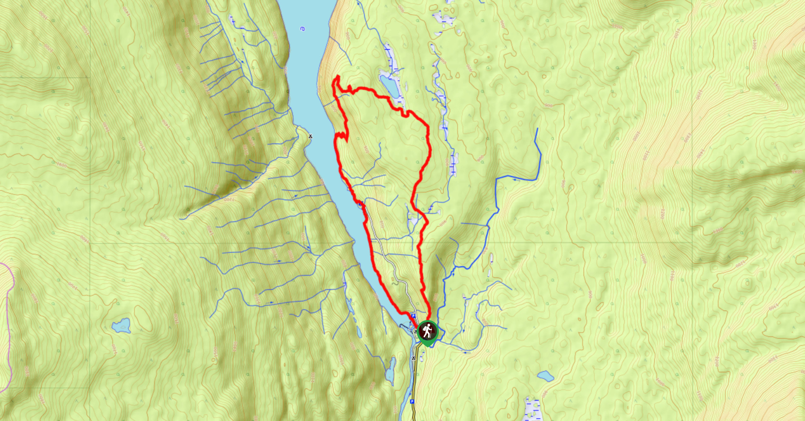
Chain Meadows Loop
The Chain Meadows Loop is a 8.8mi hiking circuit in Wells Gray Provincial Park that traverses some pleasant…
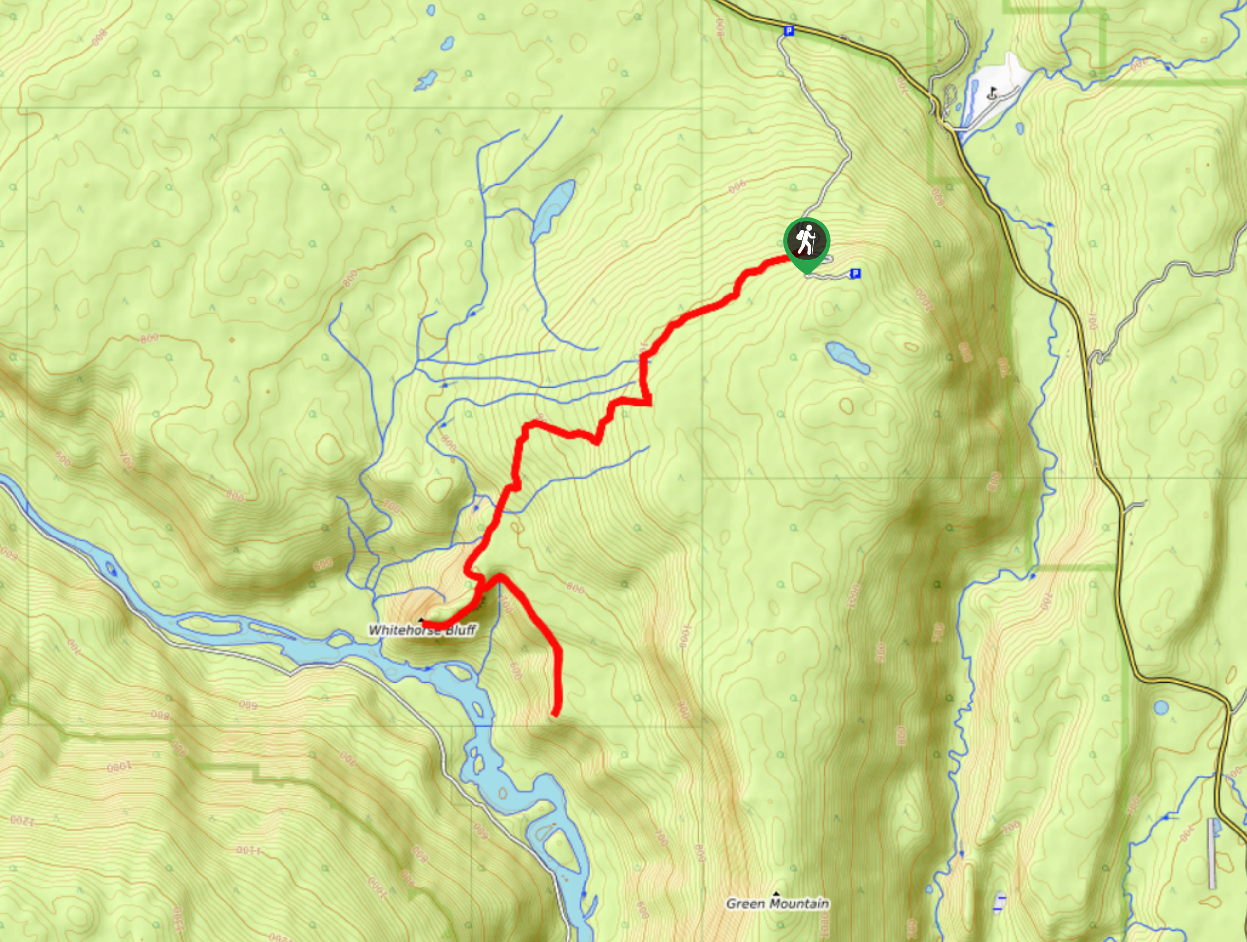
Whitehorse Bluff Trail
The Whitehorse Bluff Trail is a 10.7mi out-and-back hiking route in Wells Gray Provincial Park that gradually climbs…
Comments