Canim Falls Trail
View Photos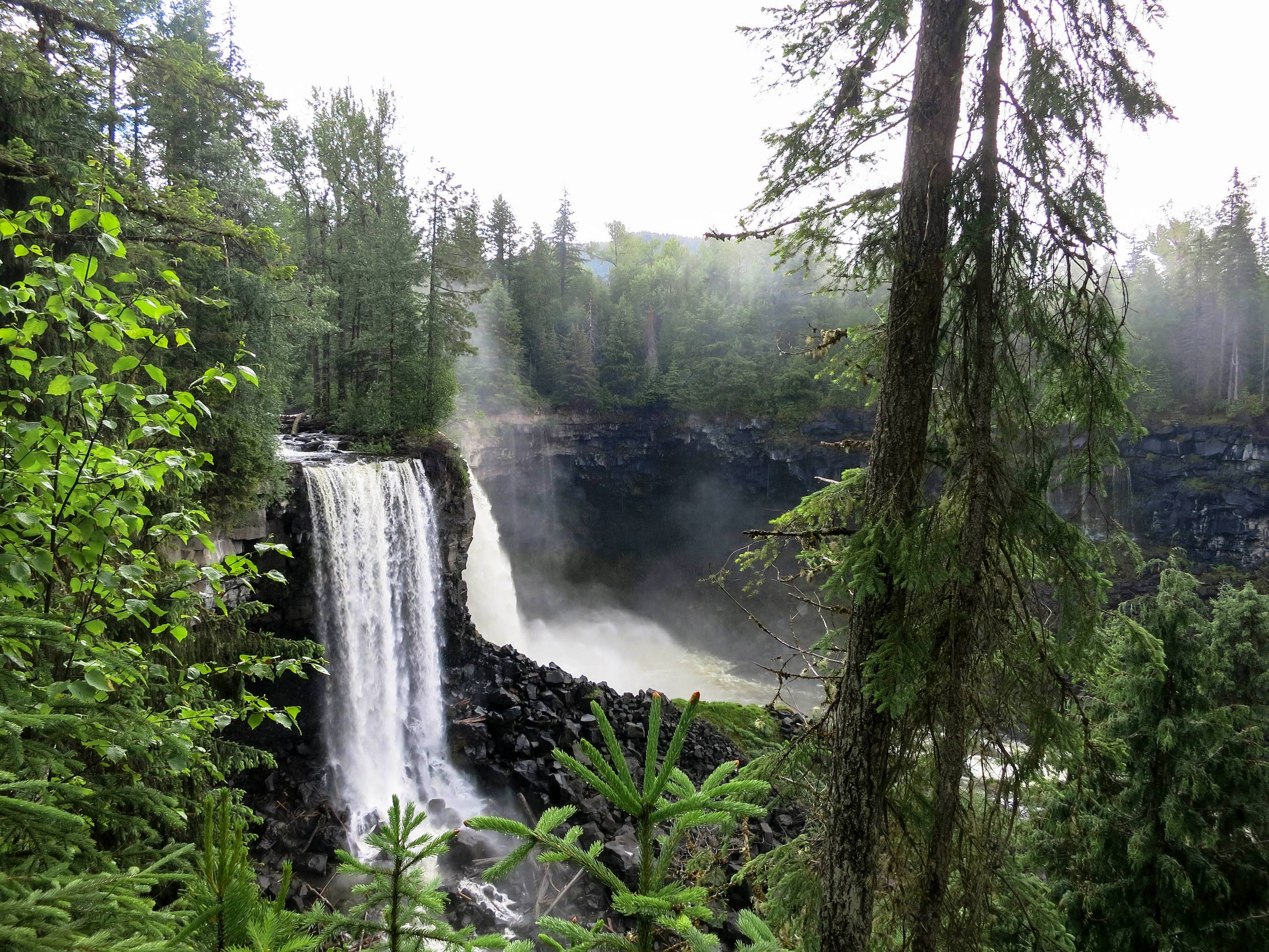
Canim Falls Trail
Difficulty Rating:
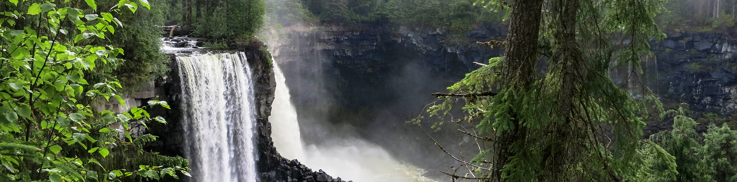
The Canim Falls Trail is a 1.4mi out-and-back hiking route in Wells Gray Provincial Park that will take you to viewpoints overlooking two breathtaking waterfalls. Along the trail, you will hike through the forest alongside the Canim River to first reach the scenic Mahood Falls before continuing onto the picturesque Canim Falls. Try timing this hike for the spring when water levels are higher and the falls are even more magnificent.
Getting there
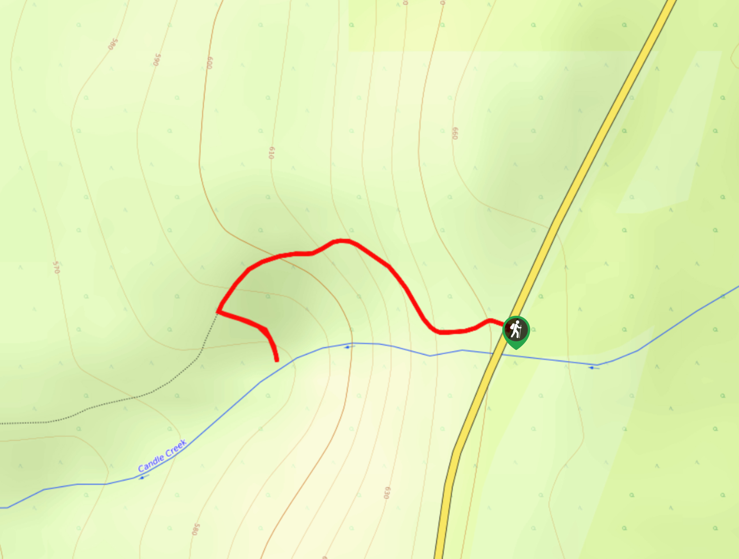
To reach the trailhead for the Canim Falls Trail from Forest Grove, head east on Canim-Hendrix Lake Road for 7.9mi and turn right onto Canim Lake S Road. After 15.3mi, turn left onto Mahood Lake Road and follow it for 6.5mi to reach the trailhead.

About
| When to do | April-October |
| Backcountry Campsites | No |
| Pets allowed | Yes - On Leash |
| Family friendly | Yes |
| Route Signage | Average |
| Crowd Levels | Moderate |
| Route Type | Out and back |
Canim Falls Trail
Elevation Graph
Weather
Canim Falls Trail Description
Although the Canim Falls Trail is a short hiking route, you can rest assured that you will have more than enough scenic views to keep you entertained for hours. Made up of well-maintained, family-friendly trails, this hiking route is perfectly suited for hikers of every skill level. The trail sets out from the parking area and heads into the forest to the north before turning to the west on a route that runs parallel to the river. About 1640ft from the trailhead, you will come to a viewpoint overlooking the beautiful cascading weather of Mahood Falls. Continue along the trail for another 1640ft to reach the sight of the Canim Falls violently crashing into the pool below. After taking in the amazing scenery and exploring the area, make your way back along the trail to return to your vehicle.
Similar hikes to the Canim Falls Trail hike
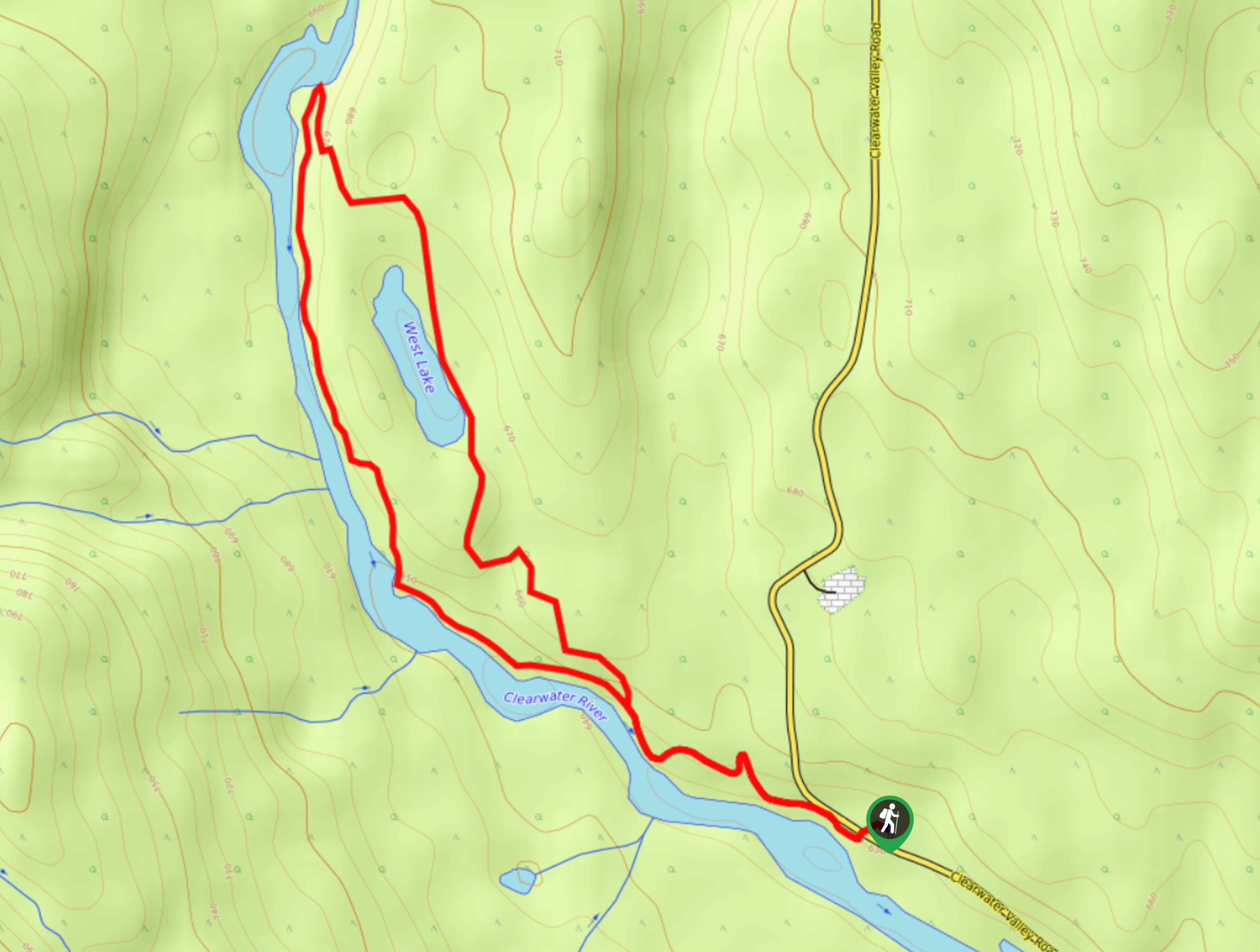
West Lake Loop
The West Lake Loop is a 3.3mi lollipop hiking route within Wells Gray Provincial Park that meanders through…
Ray’s Farm & Mineral Springs Loop Trail
The Ray’s Farm & Mineral Springs Loop is a 2.4mi hiking circuit north of Clearwater, BC, that will…
Triple Decker Falls Trail
The trek to Triple Decker Falls utilizes a 0.5mi out-and-back hiking route near Clearwater, BC that passes through…
Comments