
Murtle Lagoon
View Photos
Murtle Lagoon
Difficulty Rating:
The Murtle Lagoon trail is a 2.9mi out-and-back hiking route in Wells Gray Provincial Park that will take you through a charming stretch of forest terrain to the edge of a small lagoon that is popular with water sports enthusiasts. The trail is well-maintained and made up of east-going terrain, making it a suitable route for hikers of all skill levels. For those looking to spend a few days camping in the area, try heading a little further west to get to the Murtle Lagoon North and South campgrounds.
Getting there
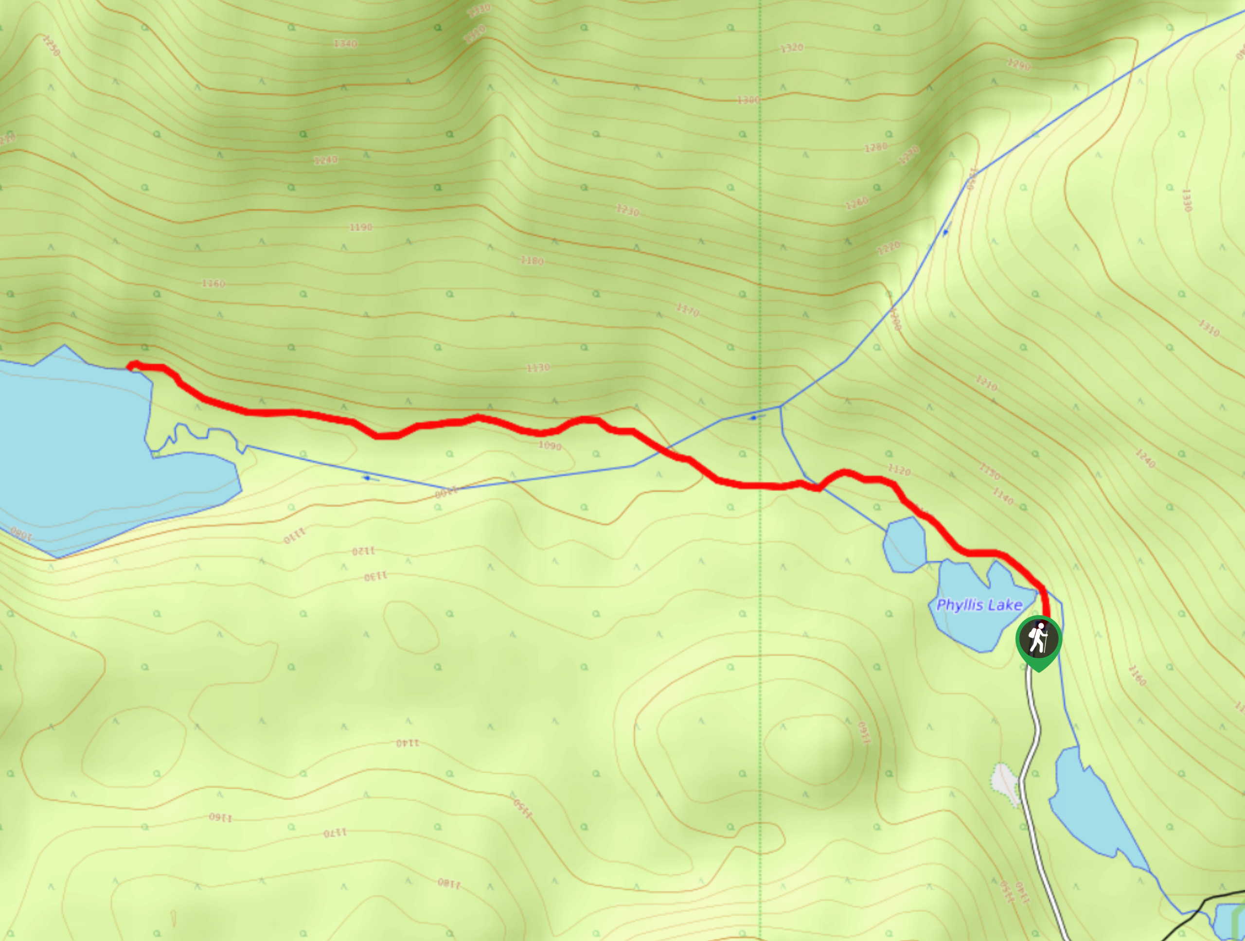
To reach the Murtle Lagoon trailhead from Blue River, head west on Murtle Lake Road for 2133ft and continue straight onto Blue Lake FSR, following it for 4.9mi. Turn right to stay on the road for another 7.8mi, where you will veer to the left onto Murtle Lake Access Road. Follow this for 1.6mi to arrive at the parking area.

About
| When to do | April-October |
| Backcountry Campsites | No |
| Pets allowed | Yes - On Leash |
| Family friendly | Yes |
| Route Signage | Average |
| Crowd Levels | Low |
| Route Type | Out and back |
Murtle Lagoon
Elevation Graph
Weather
Murtle Lagoon Trail Description
Hiking to Murtle Lagoon is a great way to get acquainted with the different types of landscapes that can be found within the vast expanse of Wells Gray Provincial Park, as the trail passes through an amazing stretch of the forest but also allows you to explore the marshy shores of the lagoon. Setting out from the parking area, follow the trail to the northwest to enter into the forest cover. Immediately, you will pass by the tranquil shores of Phyllis Lake on your left before the trail begins to turn more to the west on a route towards the lagoon. As you continue to make your way through the peaceful woodland landscape, take some time to appreciate the natural beauty of the forest and surrounding terrain. Eventually, you will arrive at the edge of the small lagoon, where you might be able to spot some adventurous paddleboarders out on the water exploring the marshy area. After spending some time at the lagoon, head back along the same route to return to the trailhead.
Similar hikes to the Murtle Lagoon hike
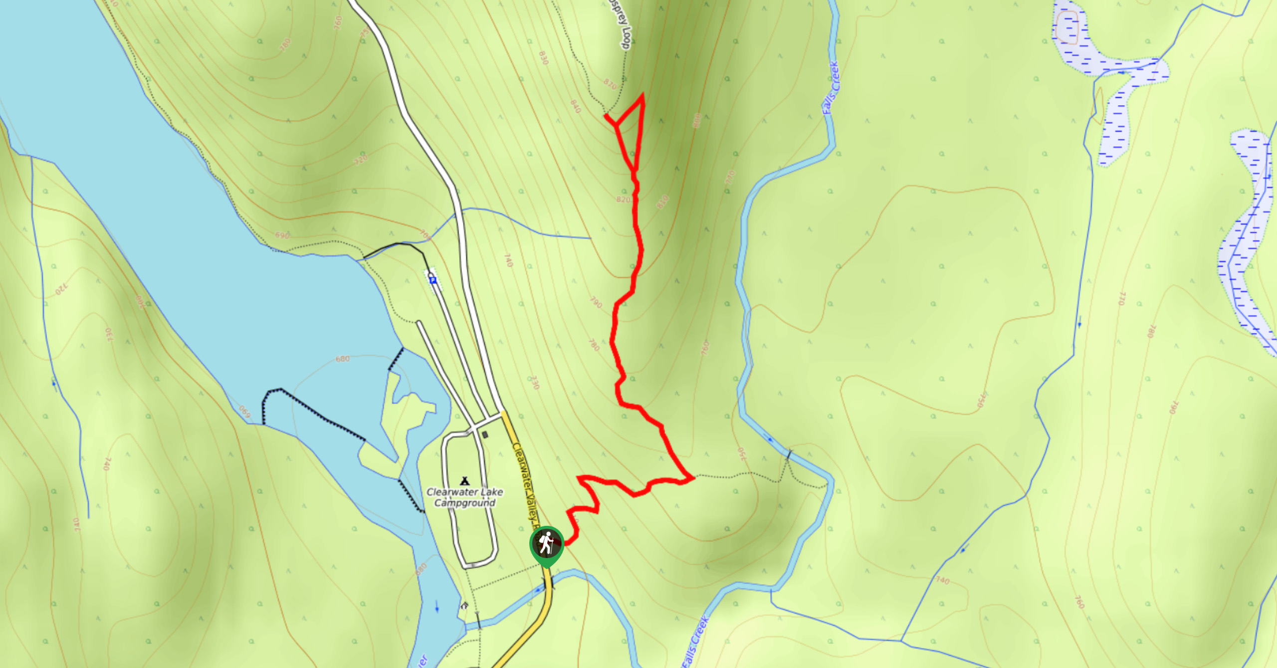
Osprey Viewpoint
The trek to the Osprey Viewpoint follows a 1.5mi out-and-back hiking route that climbs uphill along a forest…
Pyramid Mountain
The trek up Pyramid Mountain follows a 5.8mi out-and-back hiking route in Wells Gray Provincial Park that provides…
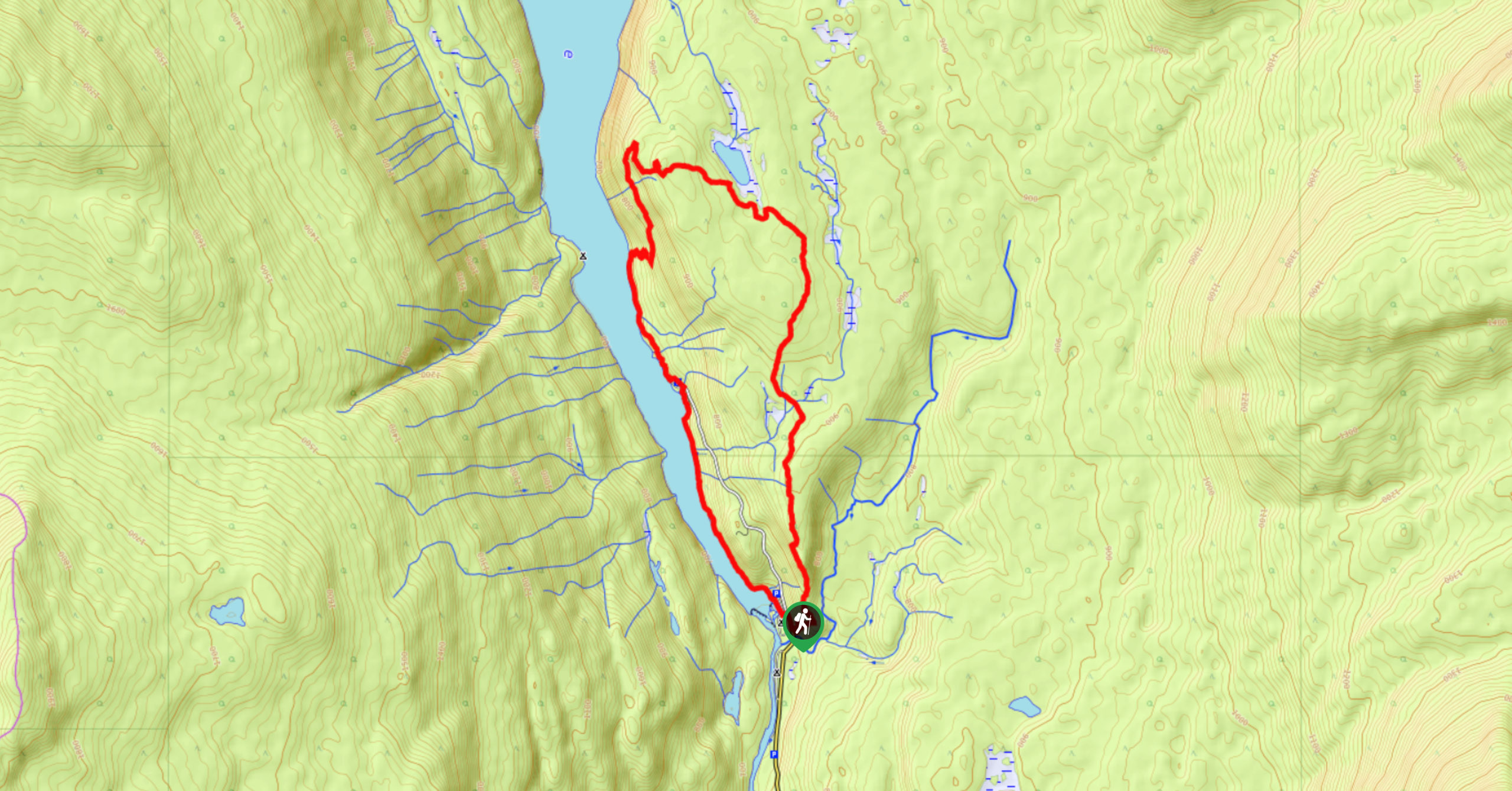
Chain Meadows Loop
The Chain Meadows Loop is a 8.8mi hiking circuit in Wells Gray Provincial Park that traverses some pleasant…
Comments