Dawson Falls
View Photos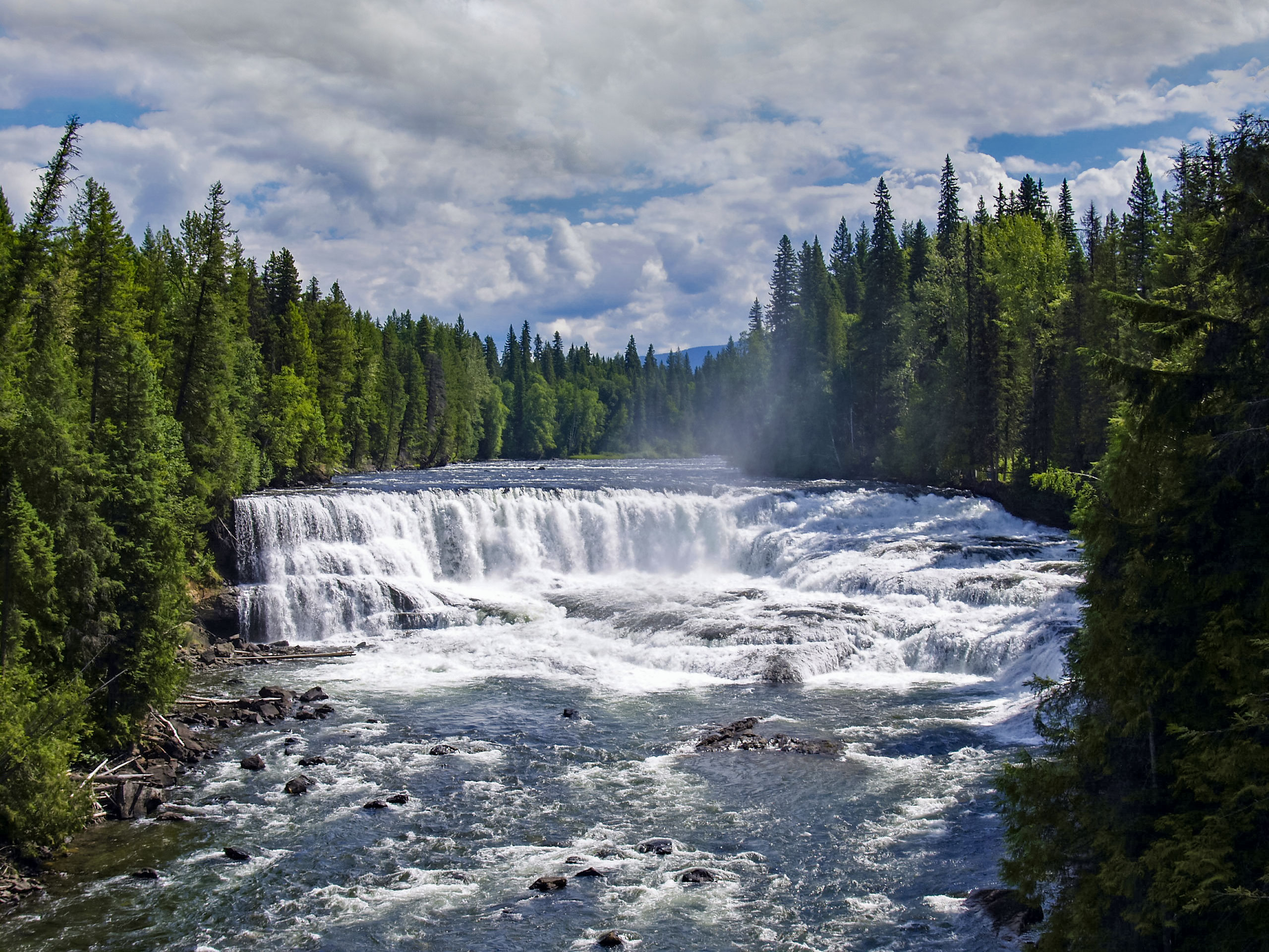
Dawson Falls
Difficulty Rating:
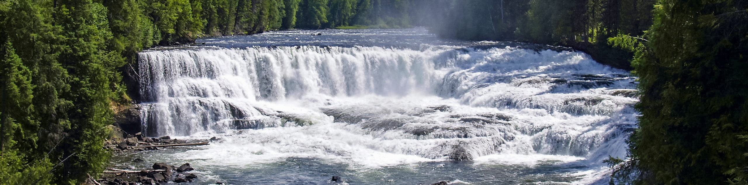
The trek to Dawson Falls is a short 0.9mi out-and-back trail that will take you to two separate viewpoints from which you can view this scenic waterfall. The trail meanders through a wonderful forest setting along the edge of the Murtle River until you arrive at the vantage point overlooking the horseshoe-shaped waterfall that is reminiscent of a miniature Niagara Falls. With a short overall distance, well-maintained trails, and breathtaking views; this trail is a perfect way to start your adventure in Wells Gray Provincial Park.
Getting there
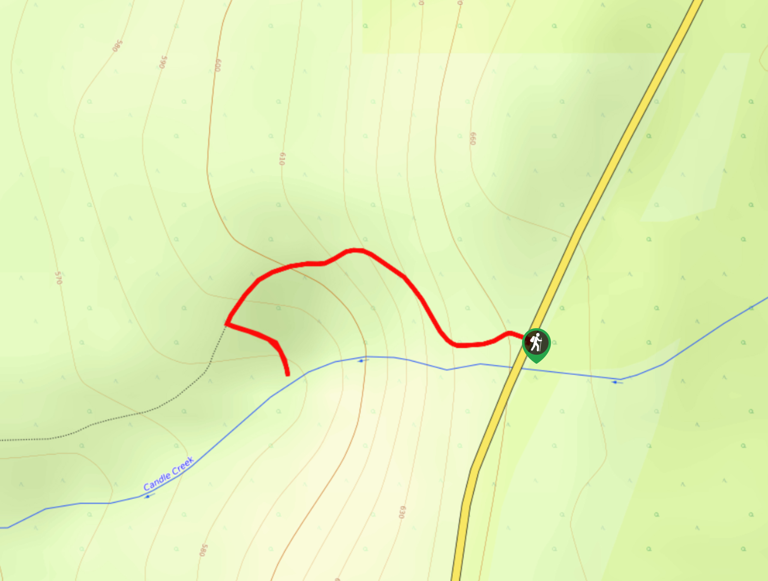
To get to the Dawson Falls trailhead from Clearwater, drive north on Clearwater Valley Road for 25.2mi and turn right to enter the parking lot.

About
| When to do | Year-Round |
| Backcountry Campsites | No |
| Pets allowed | Yes - On Leash |
| Family friendly | Yes |
| Route Signage | Average |
| Crowd Levels | Low |
| Route Type | Out and back |
Dawson Falls
Elevation Graph
Weather
Dawson Falls Trail Description
The Dawson Falls Trail may only be a short hike, but its roadside accessibility and amazing views make it a popular spot for sightseeing visitors and those looking to get off the road and stretch their legs. As such, you should make sure to arrive early to secure a parking space and beat out the crowds to the scenic viewpoints.
This quick hike sets out from the parking area off Clearwater Valley Road and heads east to enter into the forest. Overall, the trail is relatively flat with only a gentle few ups and downs, making it an ideal route for hikers of all skill levels, including families. As you make your way through the peaceful forest landscape, the trail will briefly approach the road before turning back toward the northeast on a course for the viewing points. Hiking along the Murtle River, the sound of the rushing water will gradually become stronger as you make the approach to the first vantage point overlooking Dawson Falls.
It’s easy to see the comparison with the much larger Niagara Falls, as the horseshoe shape of the falls sweeps across the river and deposits a high volume of rushing water downstream. Continue along the trail to reach the second viewing point, where you will get a different perspective of this scenic and powerful waterfall before heading back along the same route through the forest to return to the trailhead.
Similar hikes to the Dawson Falls hike
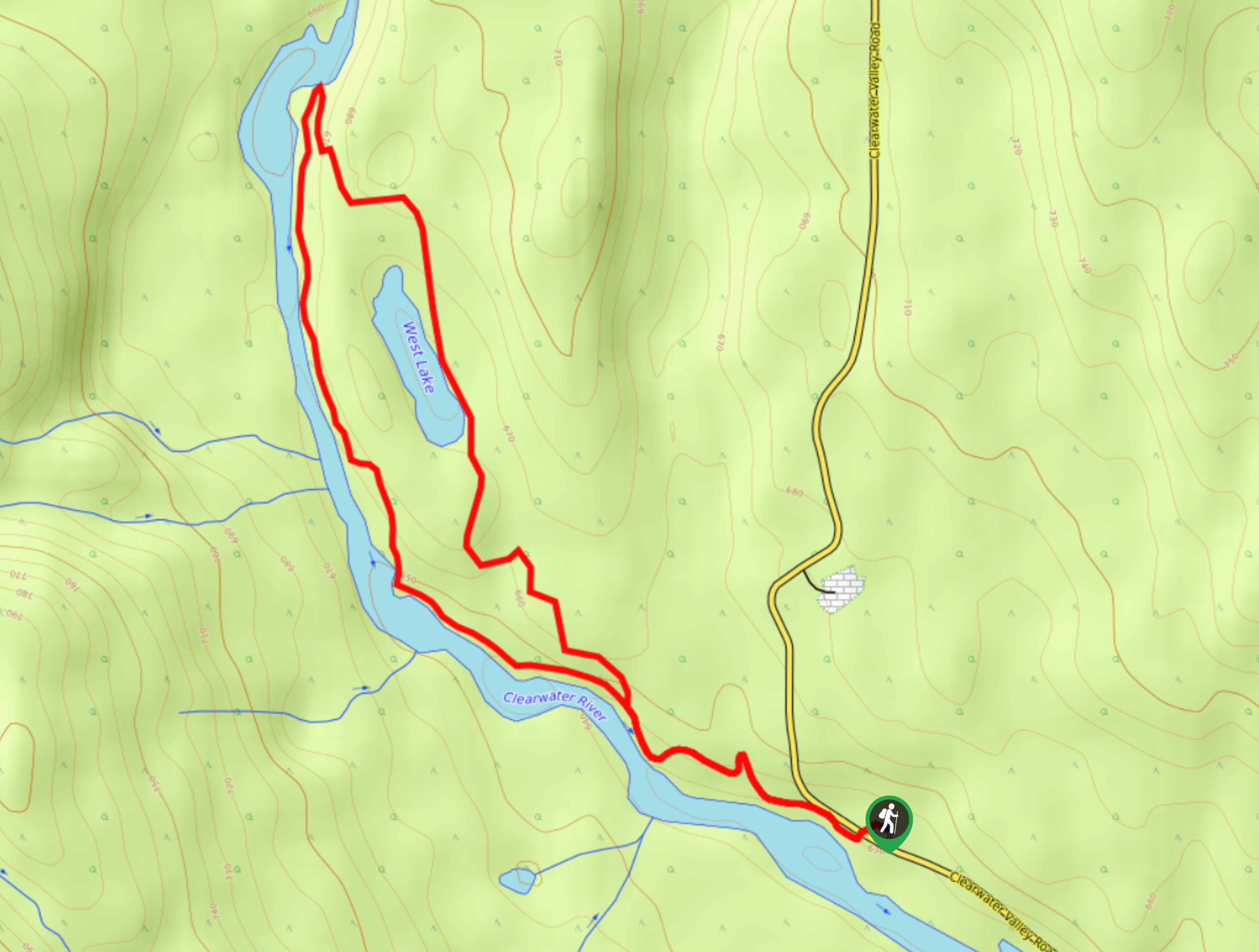
West Lake Loop
The West Lake Loop is a 3.3mi lollipop hiking route within Wells Gray Provincial Park that meanders through…
Ray’s Farm & Mineral Springs Loop Trail
The Ray’s Farm & Mineral Springs Loop is a 2.4mi hiking circuit north of Clearwater, BC, that will…
Triple Decker Falls Trail
The trek to Triple Decker Falls utilizes a 0.5mi out-and-back hiking route near Clearwater, BC that passes through…
Comments