Mount June Trail
View Photos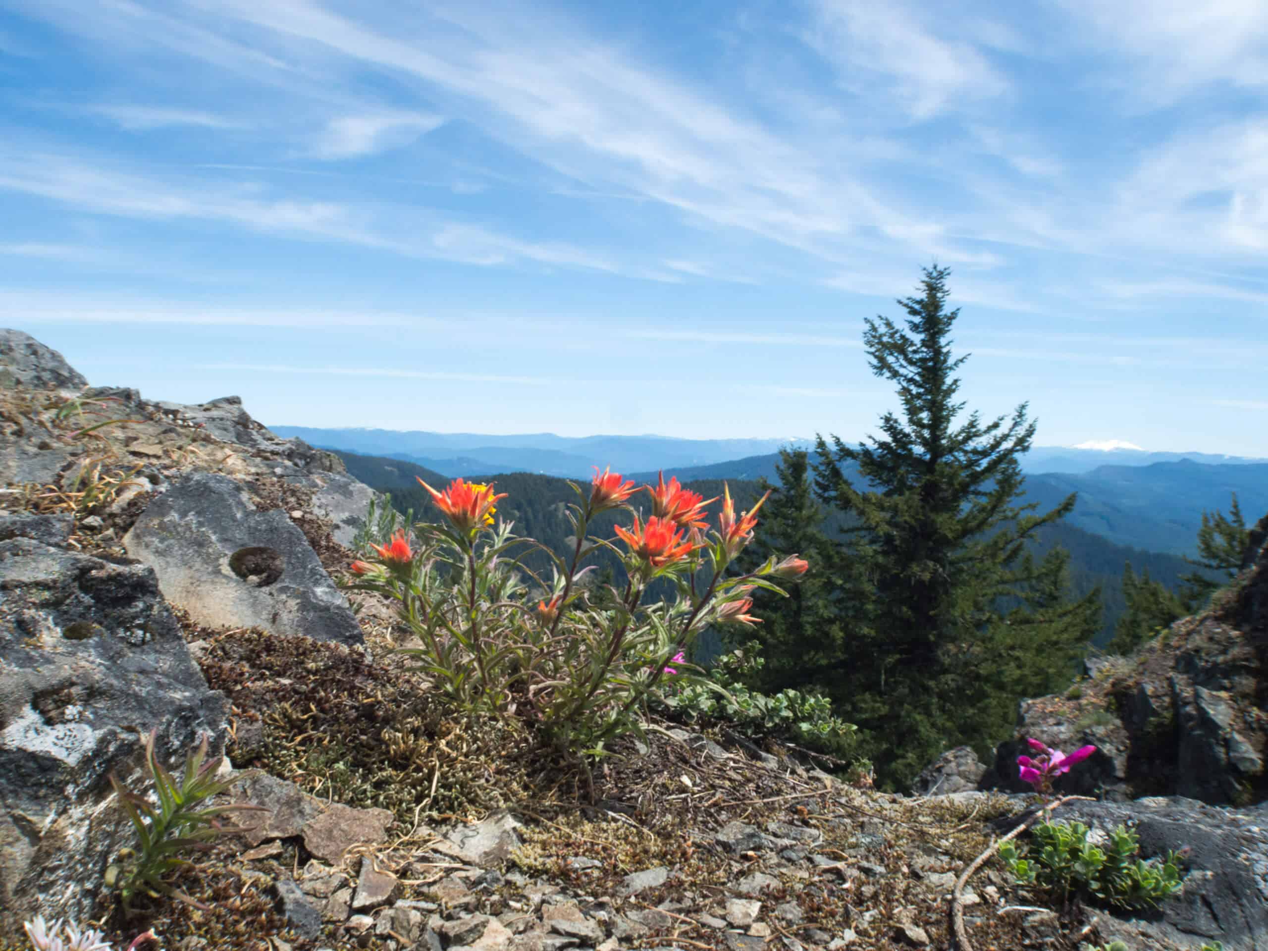
Mount June Trail
Difficulty Rating:
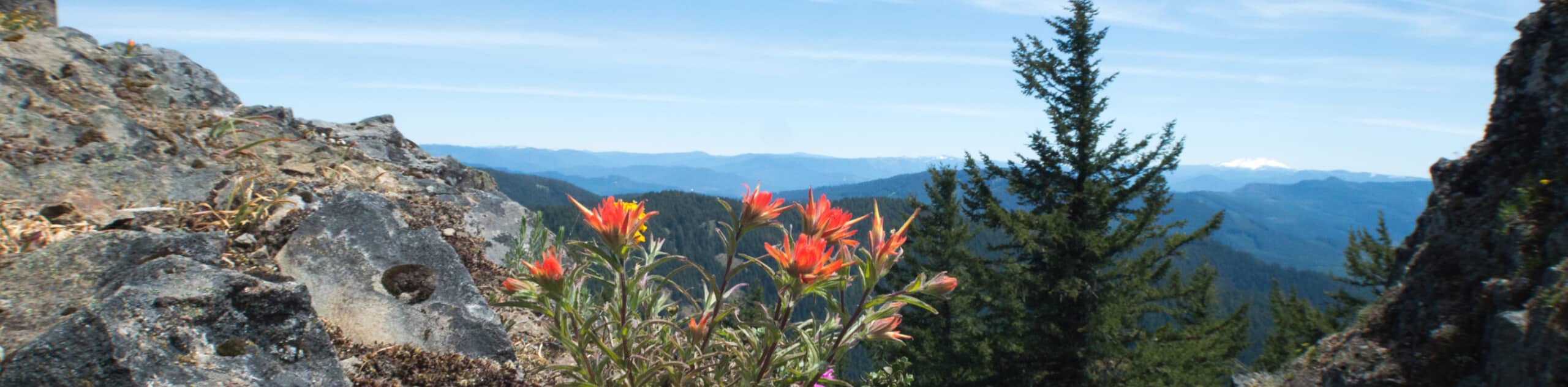
The Mount June Trail is a wonderful little adventure in Umpqua National Forest that features steep terrain and stunning views. Along the trail, you will climb through forests of Douglas Fir to reach the summit of Mount June, where you can gaze out across the surrounding mountains of the Cascade Range. While fairly short, the steep climbs at certain points of this hike can be challenging; be sure to wear proper hiking footwear and bring water.
Getting there
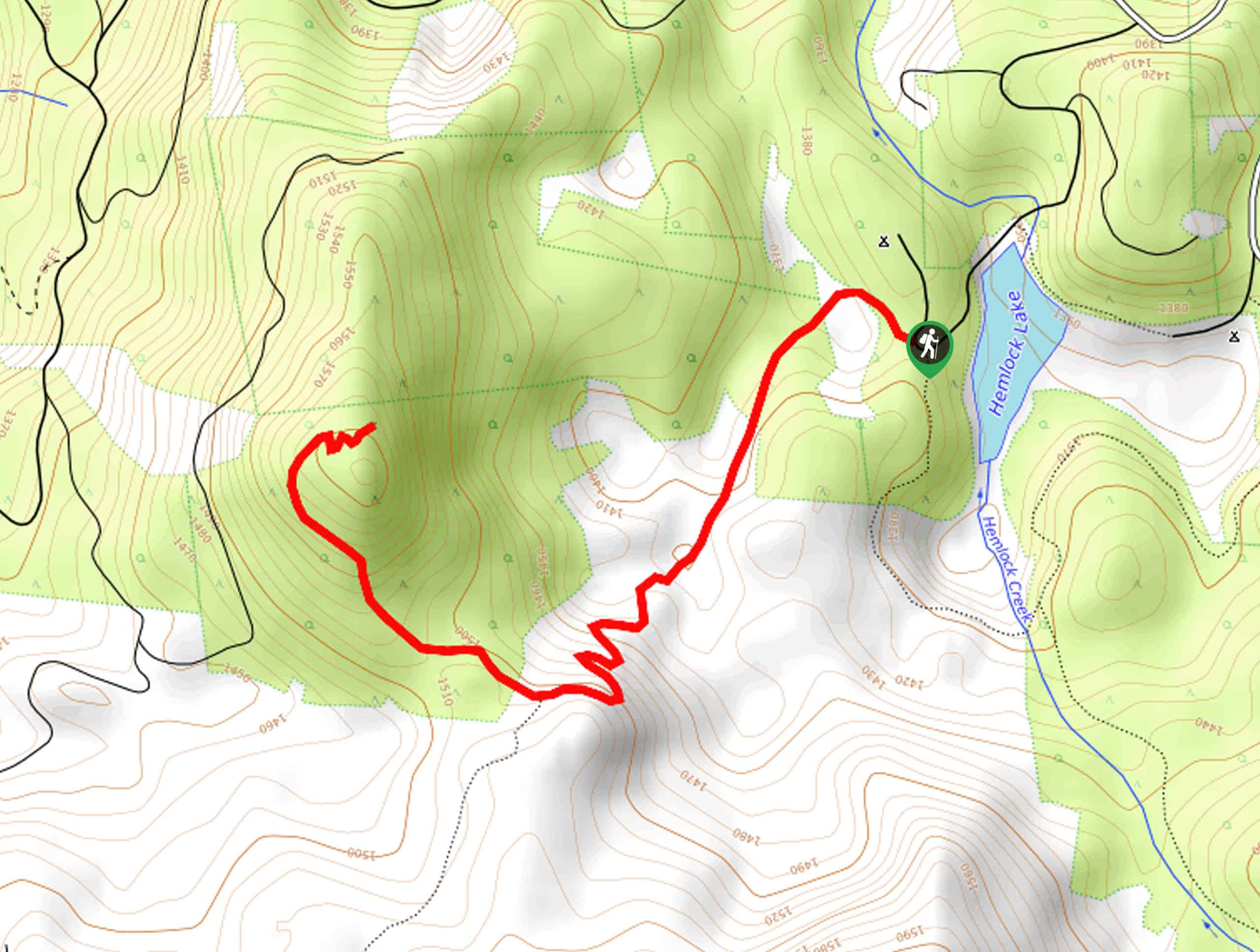
The starting point for this hike can be found at the Mount June Trailhead on Forest Road 1721-941

About
| Backcountry Campground | No |
| When to do | March-September |
| Pets allowed | Yes - On Leash |
| Family friendly | Yes |
| Route Signage | Average |
| Crowd Levels | Moderate |
| Route Type | Out and back |
Mount June Trail
Elevation Graph
Weather
Mount June Trail Description
Sometimes you want the feeling of a longer hiking adventure without the hassle of setting out on a lengthy expedition, and the Mount June Trail is perfect for satisfying that desire. Climbing sharply uphill over a short distance, this quick hike will reward you with gorgeous landscape views.
Setting out from the trailhead, you will make your way to the northeast along the Mount June Trail, enjoying the lovely woodland scenery composed of Douglas Fir and Rhododendrons as you climb up the mountainside. Eventually, you will arrive at a junction with the Sawtooth Trail.
Turning right here, you will continue climbing through an even steeper section of the route in order to arrive at the summit of Mount June. take some time to appreciate the amazing views of the Cascade Mountains, before retracing your steps on the return to the trailhead.
Similar hikes to the Mount June Trail hike
Flat Rock Trail
The Flat Rock Trail is a beautifully scenic hiking route in Umpqua National Forest that leads through a stretch of…
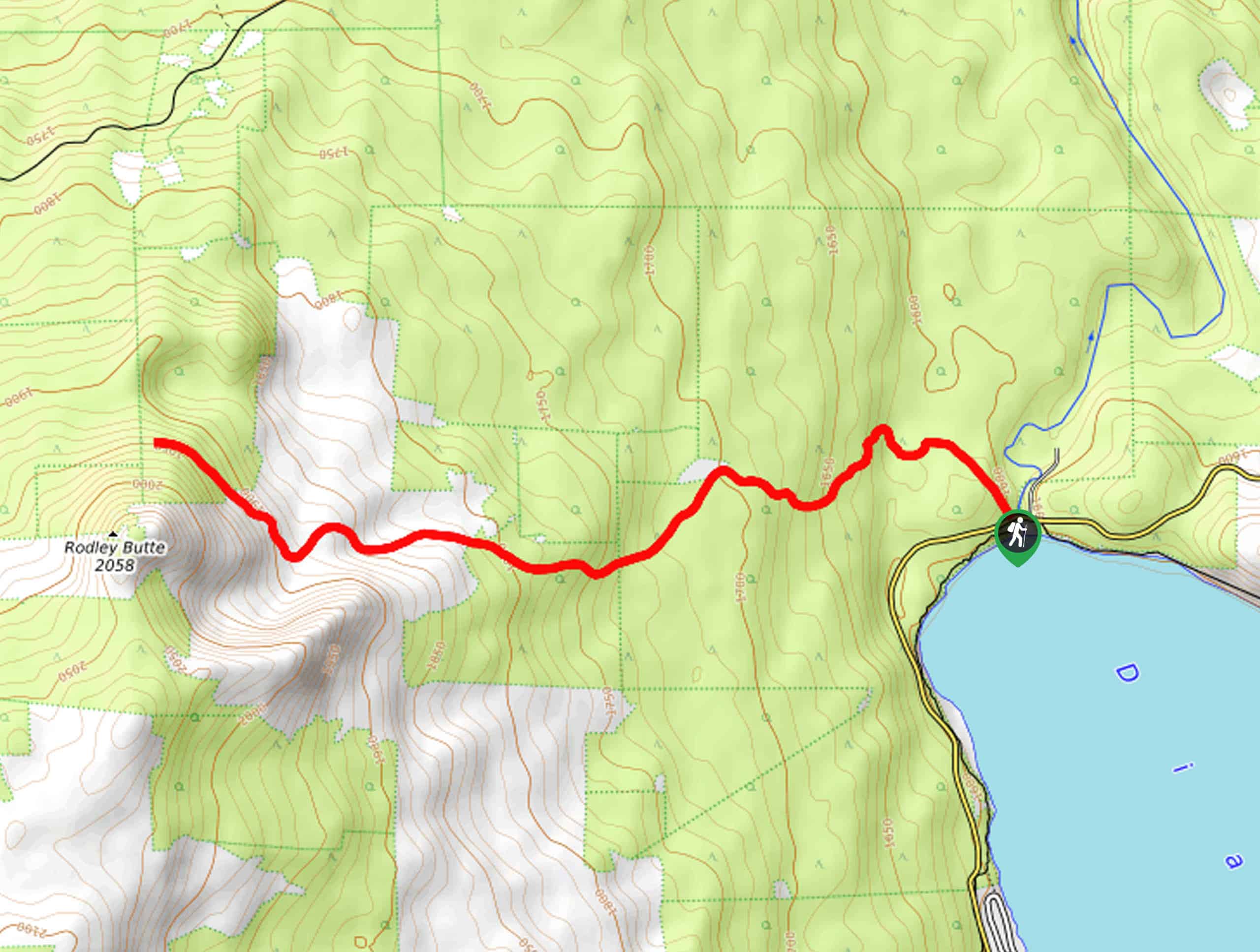
Rodley Butte Trail
Hiking the Rodley Butte Trail is a tough experience in Umpqua National Forest that will take you uphill through a…
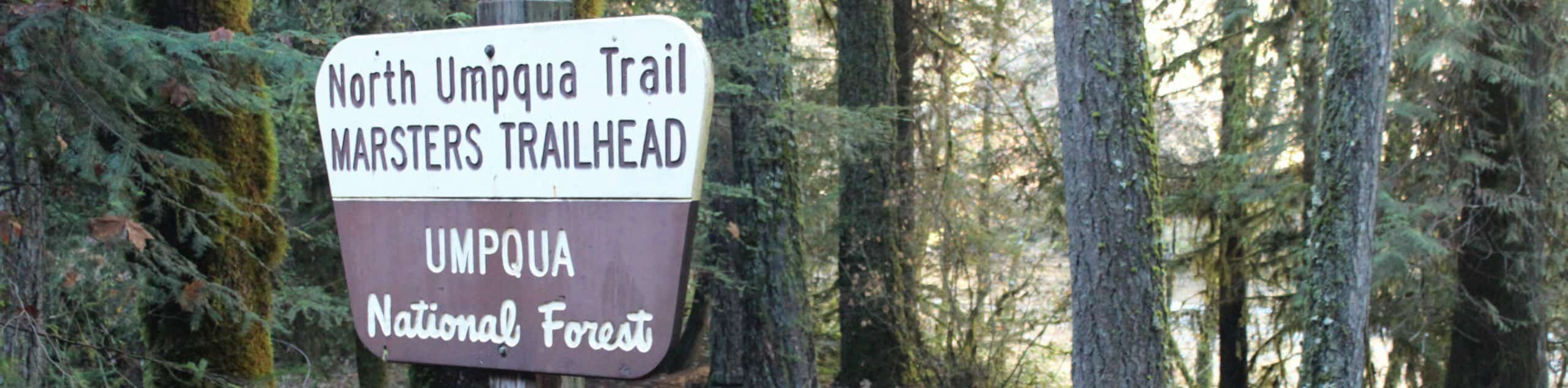
North Umpqua Trail: Marsters Segment
The North Umpqua Trail: Marsters Segment is a short stretch of the much longer North Umpqua Trail that follows along…
Comments