
North Umpqua Trail: Deer Leap Segment
View Photos
North Umpqua Trail: Deer Leap Segment
Difficulty Rating:
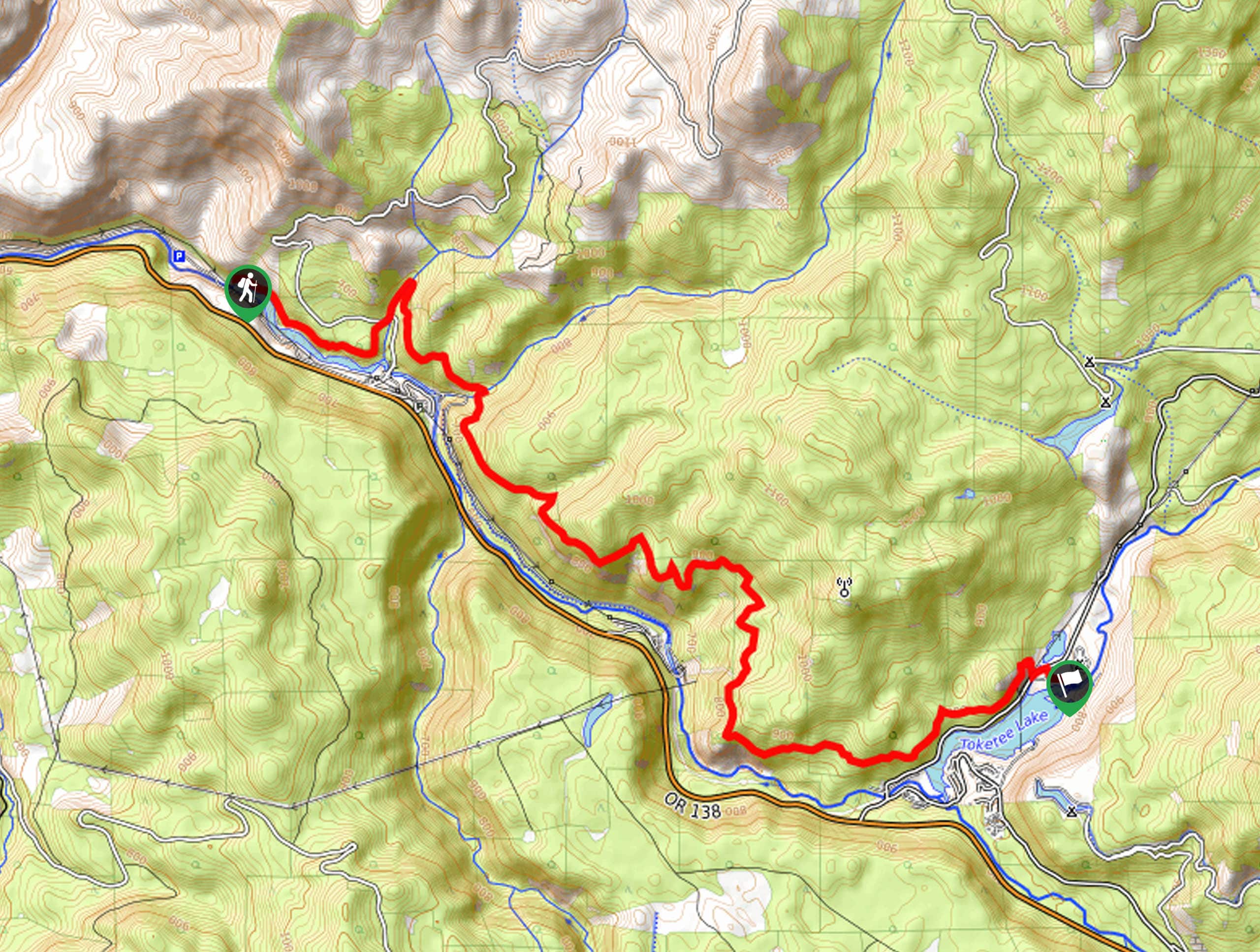
The North Umpqua Trail: Deer Leap Segment is a moderately-challenging stretch of the 79.0mi long North Umpqua Trail that features lovely waterside views. While out on the trail, you will follow along the banks of the North Umpqua River, enjoying views of the Soda Springs Reservoir, Toketee Falls, and Toketee Lake. Hikers should take note that this is a one-way adventure, so be prepared with a pick up at the end of the trail, plan to hike the entire return length, or utilize campsites along the route.
Getting there
The starting point for this hiking route can be found just off Forest Road 011, near the Soda Springs Reservoir.

About
| Backcountry Campground | Toketee Lake Campground |
| When to do | May-October |
| Pets allowed | Yes - On Leash |
| Family friendly | Older Children only |
| Route Signage | Average |
| Crowd Levels | Moderate |
| Route Type | One Way |
North Umpqua Trail: Deer Leap Segment
Elevation Graph
Weather
North Umpqua Trail: Deer Leap Segment Route Description
Whether your plan is to hike the entire North Umpqua Trail or just explore this small section of it, the North Umpqua Trail: Deer Leap Segment is a fantastic point-to-point adventure. Experience the natural beauty of the Pacific Northwest and its waterways on this fun excursion.
Setting out from the trailhead, you will make your way to the southeast along the edge of the Soda Springs Reservoir, before heading slightly north to cross over Medicine Creek. From here, you will continue on to the southeast, crossing over Slide Creek and following the trail as it runs parallel to the North Umpqua River at an elevated position.
After winding through the forest, you will pass by Toketee Falls and continue alongside the river to the point where it opens up into Toketee Lake. Here, you will exit the tree cover, cross over Toketee Rigdon Road, and arrive at the end point of the hike next to the Toketee Lake Campground.
If you want to hike another section of this amazing long-distance route, be sure to check out our guide on the North Umpqua Trail: Mott Segment.
Similar hikes to the North Umpqua Trail: Deer Leap Segment hike
Flat Rock Trail
The Flat Rock Trail is a beautifully scenic hiking route in Umpqua National Forest that leads through a stretch of…
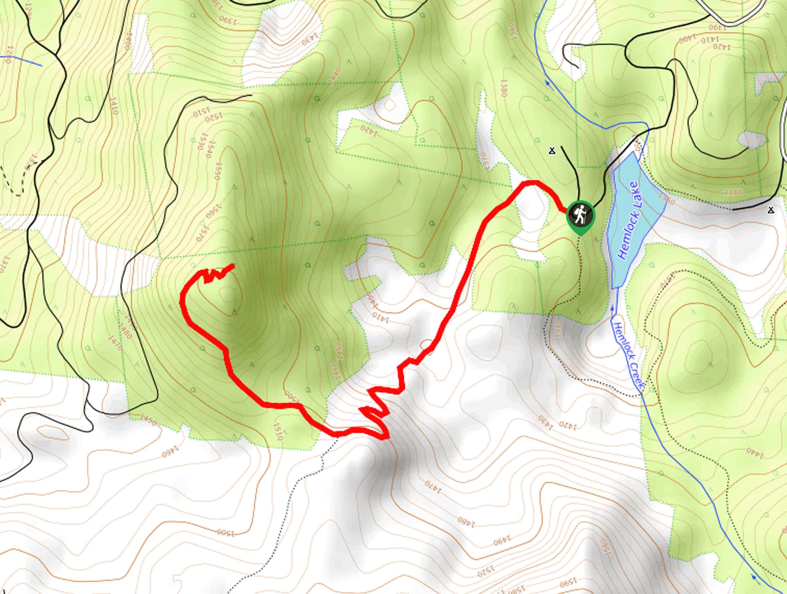
Rodley Butte Trail
Hiking the Rodley Butte Trail is a tough experience in Umpqua National Forest that will take you uphill through a…
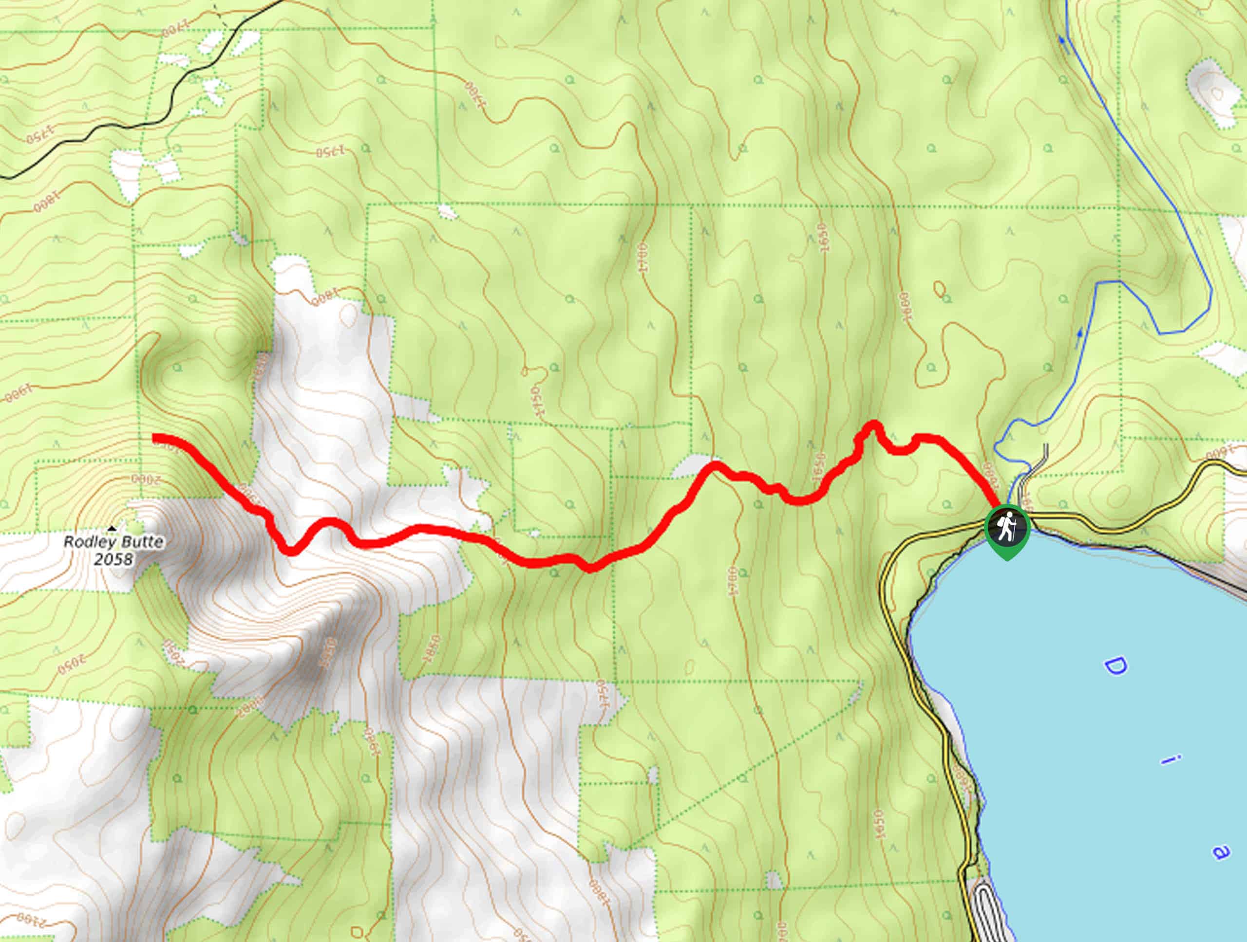
North Umpqua Trail: Marsters Segment
The North Umpqua Trail: Marsters Segment is a short stretch of the much longer North Umpqua Trail that follows along…
Comments