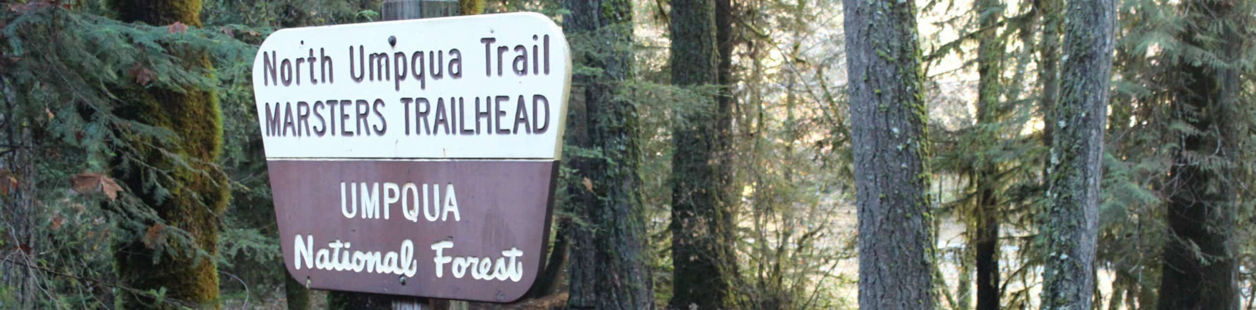
North Umpqua Trail: Marsters Segment
View Photos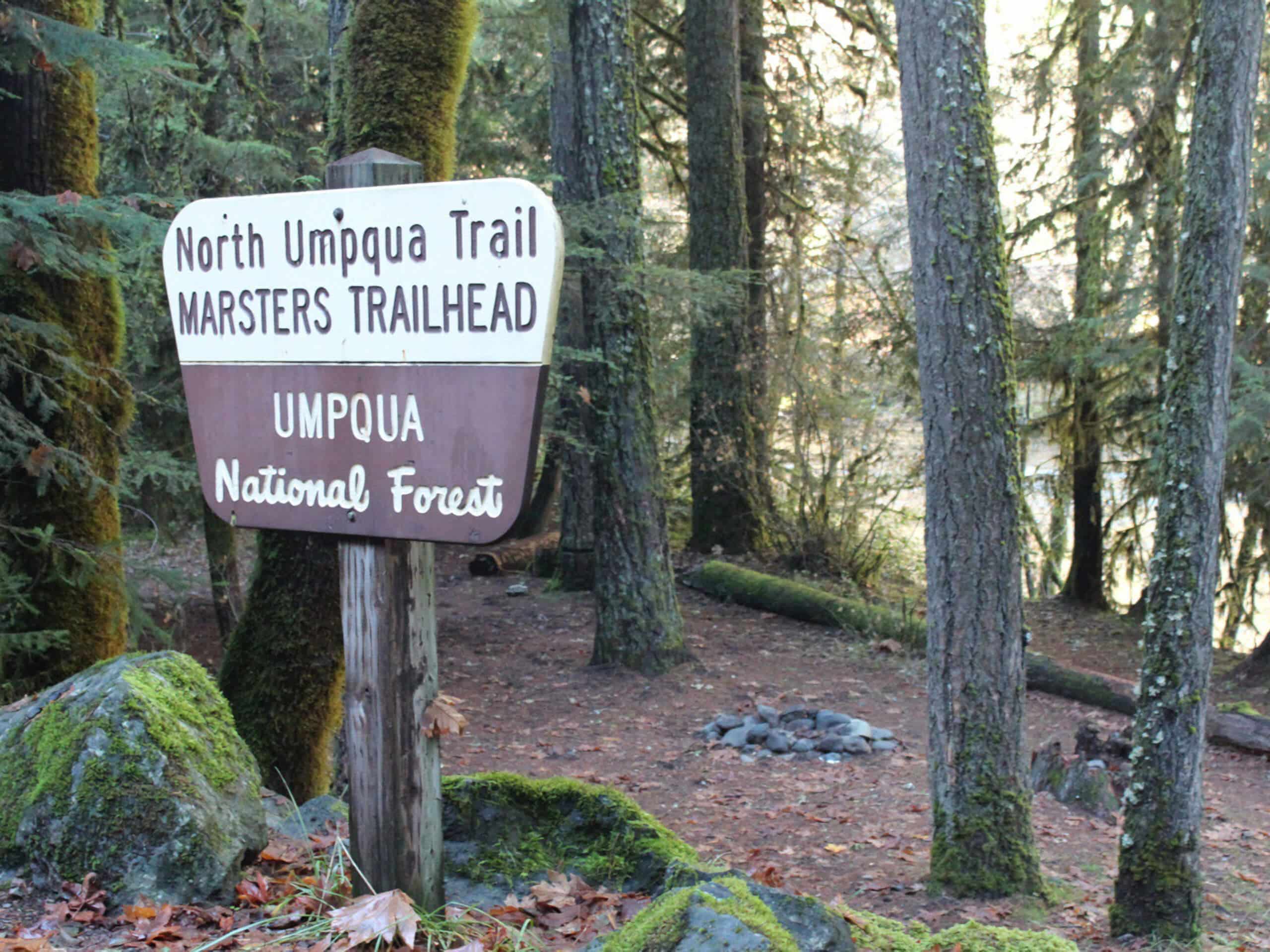
North Umpqua Trail: Marsters Segment
Difficulty Rating:
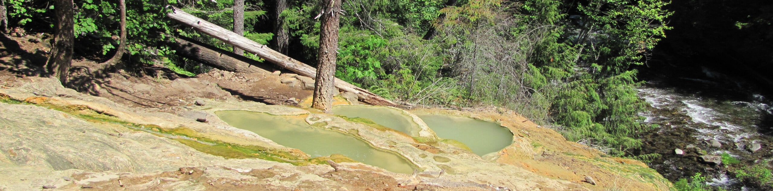
The North Umpqua Trail: Marsters Segment is a short stretch of the much longer North Umpqua Trail that follows along the winding banks of the North Umpqua River as it cuts across the Oregon landscape. While out on the trail, you will follow the water’s edge and enjoy wonderfully scenic views of the surrounding woodland landscape. Hikers should take note that this is a one way route; be sure to plan a pick up at the end of the trail, utilize nearby campgrounds, or hike back along the trail to its start.
Getting there
The starting point for the North Umpqua Trail: Marsters Segment can be found at the junction between the North Umpqua Trail and Calf Creek Trail, just south of where the latter meets the North Umpqua Highway.

About
| Backcountry Campground | Horseshoe Bend Campground, Eagle Rock Campground |
| When to do | May-October |
| Pets allowed | Yes - On Leash |
| Family friendly | Yes |
| Route Signage | Average |
| Crowd Levels | Moderate |
| Route Type | One Way |
North Umpqua Trail: Marsters Segment
Elevation Graph
Weather
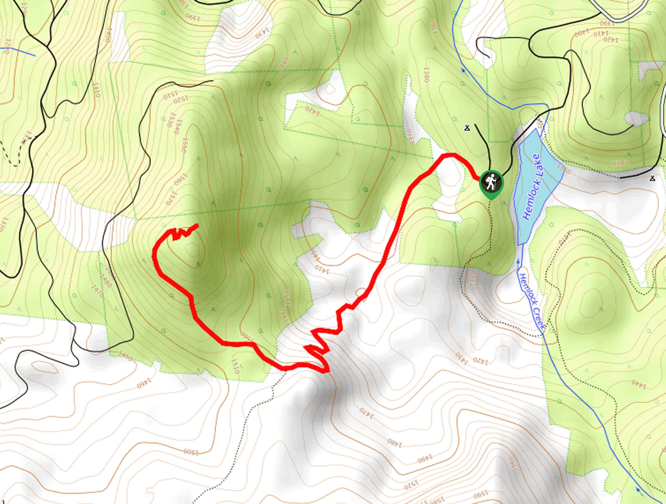
North Umpqua Trail: Marsters Segment Route Description
If you aren’t keen on spending several days outdoors but still want to experience a small slice of the 79.0mi long North Umpqua Trail, then the North Umpqua Trail: Marsters Segment is the perfect route for you to explore.
Setting out from the trailhead near Calf Creek, you will make your way to the northeast through the forest landscape, keeping the sound of the rushing water on your left. Eventually, the trail will turn more to the east, continuing alongside the banks of the North Umpqua River to reach the endpoint of the trail.
If you are planning on camping outdoors and continuing along the next segment of the North Umpqua Trail, the Eagle Rock Campground can be found a bit further to the east.
Similar hikes to the North Umpqua Trail: Marsters Segment hike
Flat Rock Trail
The Flat Rock Trail is a beautifully scenic hiking route in Umpqua National Forest that leads through a stretch of…
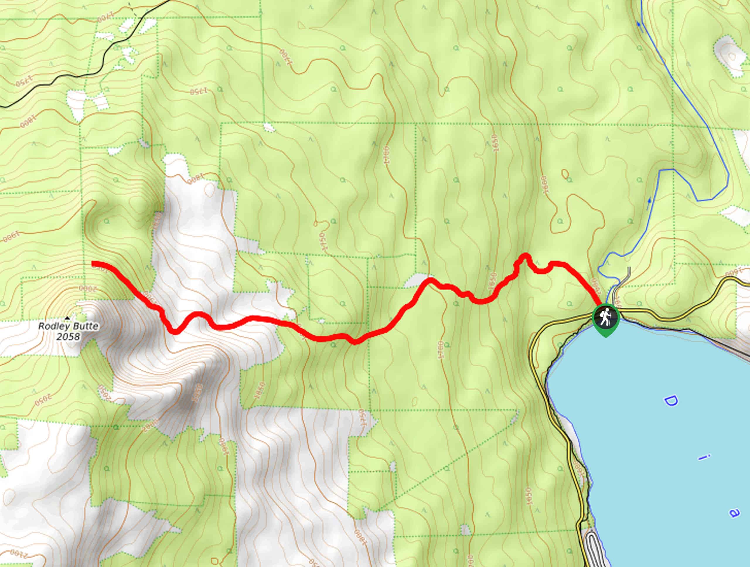
Rodley Butte Trail
Hiking the Rodley Butte Trail is a tough experience in Umpqua National Forest that will take you uphill through a…
Umpqua Hot Springs vis Road 3401
The Umpqua Hot Springs via Road 3401 Hike is a pleasant adventure in Oregon that will take you to a…
Comments