Mount Bailey via Three Lakes Trail
View Photos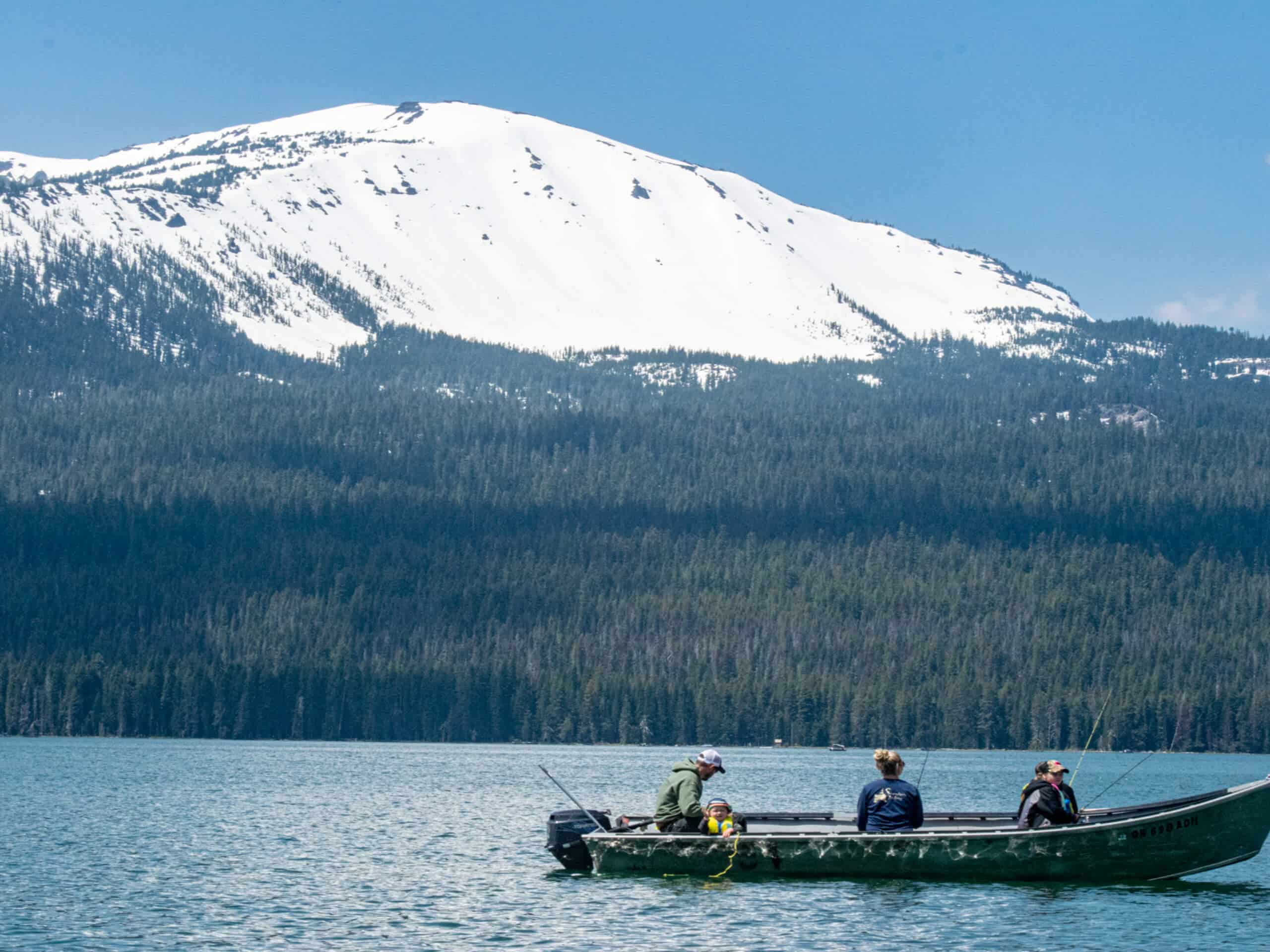
Mount Bailey via Three Lakes Trail
Difficulty Rating:
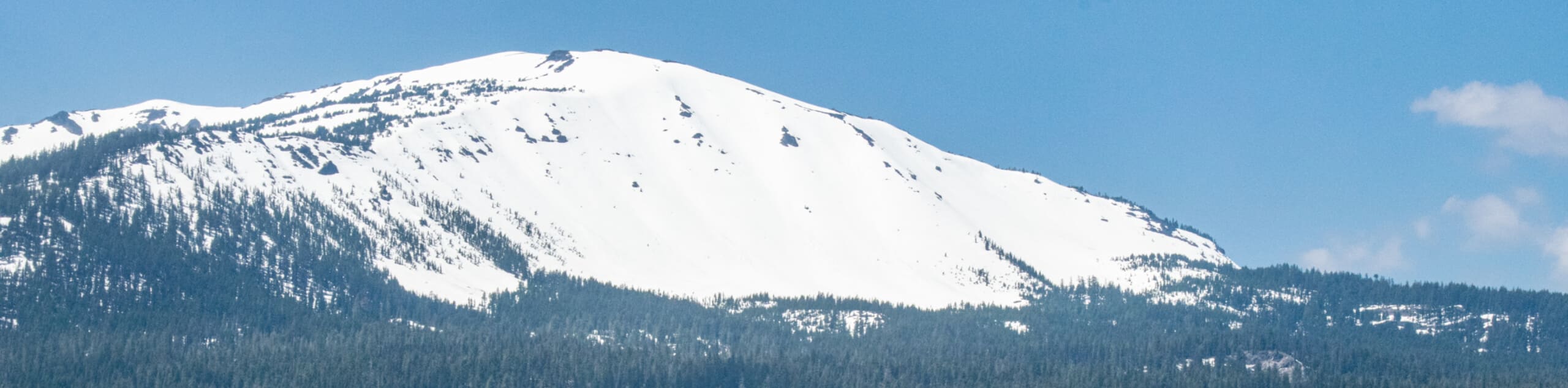
The Mount Bailey via Three Lakes Trail is a beautifully scenic, albeit challenging, hiking route in the North Umpqua National Forest that offers breathtaking views overlooking the surrounding landscape. While out on the trail you will traverse the serene woodland landscape of Oregon, before making the steep uphill climb along the slopes of Mount Bailey to reach a scenic viewpoint. This is also a great route for snowshoeing and cross country skiing, so try heading out in the winter if you want a fresh take on this awesome outdoor experience!
Getting there
The starting point for the Mount Bailey via Three Lakes Trail can be found along the W Diamond Lake Highway at the junction with Three Lakes Road.

About
| Backcountry Campground | Hemlock Butte Ski Cabin |
| When to do | April-October |
| Pets allowed | No |
| Family friendly | No |
| Route Signage | Average |
| Crowd Levels | Moderate |
| Route Type | Out and back |
Mount Bailey via Three Lakes Trail
Elevation Graph
Weather
Mount Bailey via Three Lakes Trail Description
With a lengthy overall distance, strong elevation gain, and breathtaking landscape views, the Mount Bailey via Three Lakes Trail is the perfect hiking route to explore for intrepid adventurers looking to take in the natural beauty of Oregon.
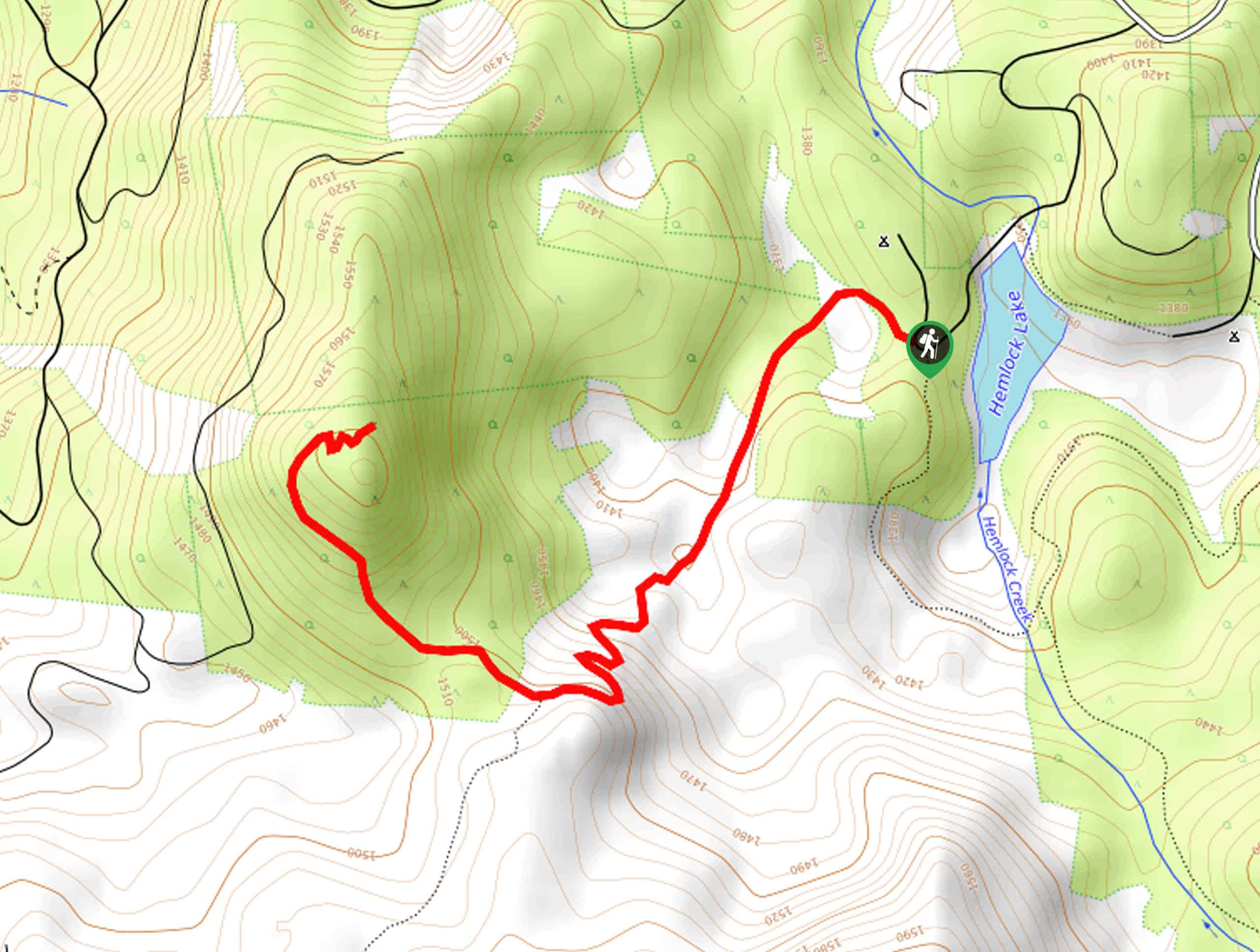
Setting out from the trailhead on W Diamond Lake Highway, you will make your way to the northwest along Three Lakes Road as it follows closely alongside Silent Creek. Shortly after crossing the creek, you will pick up the Bailey Trail on your right and keep left through the next junction onto the Hemlock Butte Trail.
Here, you will notice the terrain begin to steepen, as you make your way up the slopes of Mount Bailey. The final approach to the summit viewpoint will see you traverse some loose and rocky terrain, before being inundated with incredibly beautiful views. After resting up and appreciating the views over Umpqua National Forest, carefully turn back along the same trail and follow it down to the trailhead where you began.
Similar hikes to the Mount Bailey via Three Lakes Trail hike
Flat Rock Trail
The Flat Rock Trail is a beautifully scenic hiking route in Umpqua National Forest that leads through a stretch of…
Rodley Butte Trail
Hiking the Rodley Butte Trail is a tough experience in Umpqua National Forest that will take you uphill through a…
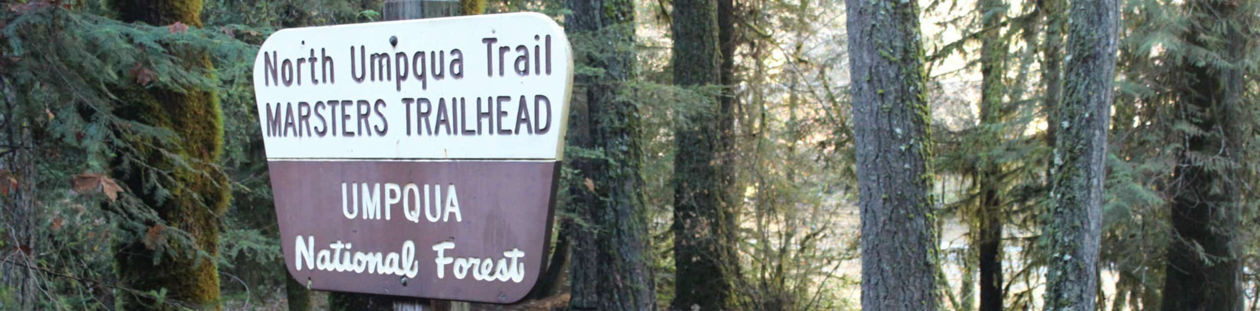
North Umpqua Trail: Marsters Segment
The North Umpqua Trail: Marsters Segment is a short stretch of the much longer North Umpqua Trail that follows along…
Comments