North Umpqua River Hike
View Photos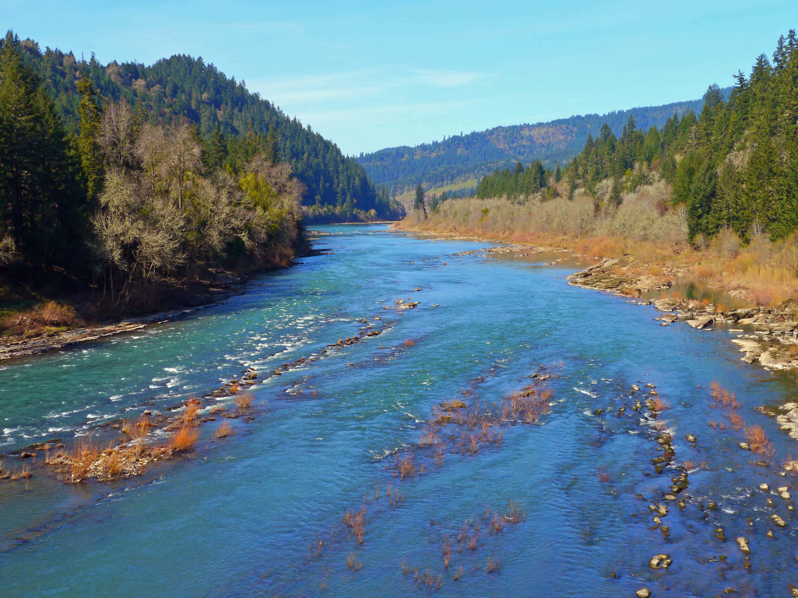
North Umpqua River Hike
Difficulty Rating:
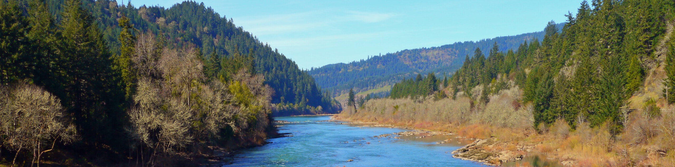
The North Umpqua River Hike is a tough hiking route in Oregon that follows a portion of the 79.0mi long North Umpqua Trail. While out hiking this route, you will round the shores of Toketee Lake and climb uphill through the forest alongside the winding North Umpqua River. This is a long and fairly challenging hike, so be sure to bring plenty of water and to wear proper hiking boots with good support.
Getting there
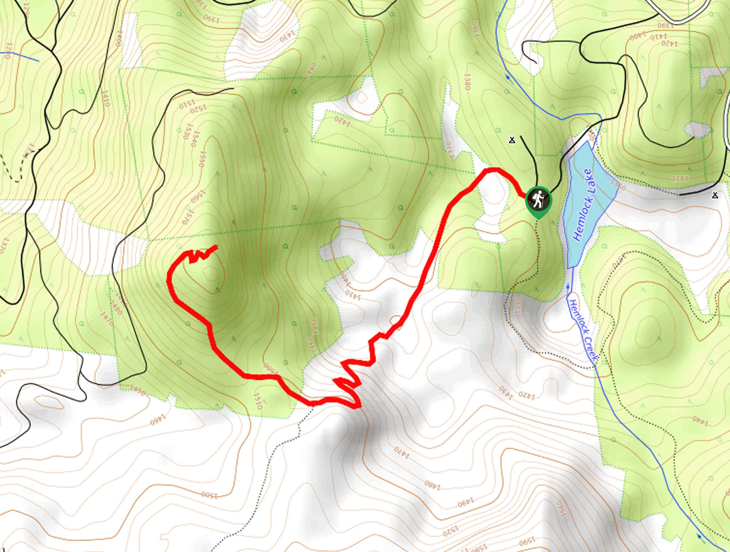
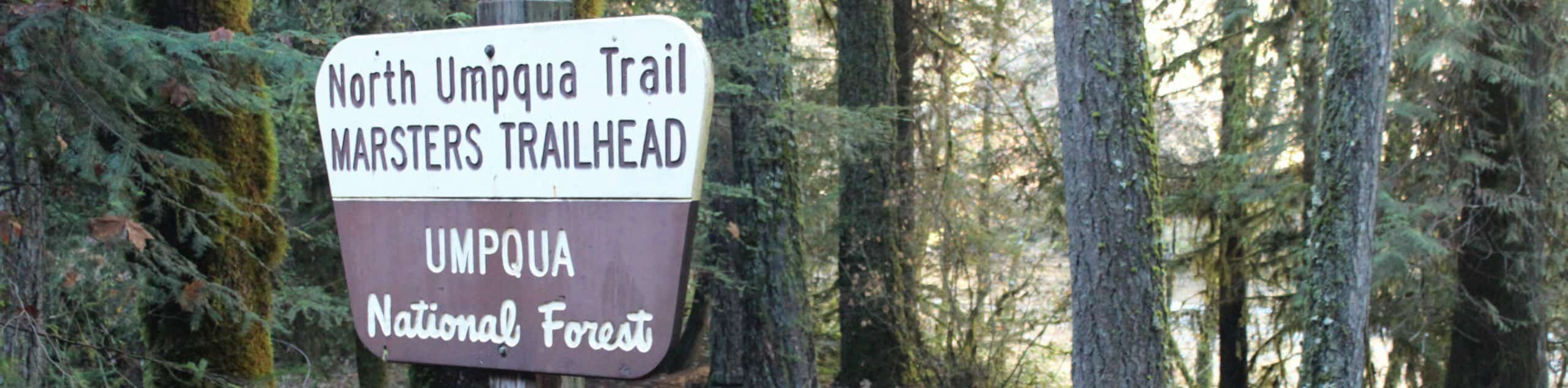
The trailhead for the North Umpqua River Hike can be found along National Forest Development Road 4776 at the junction with Clearwater Plant Road.

About
| Backcountry Campground | Toketee Lake Campground |
| When to do | March-October |
| Pets allowed | Yes - On Leash |
| Family friendly | Older Children only |
| Route Signage | Average |
| Crowd Levels | Moderate |
| Route Type | Out and back |
North Umpqua River Hike
Elevation Graph
Weather
North Umpqua River Hike Description
If you want to experience the rigors of the North Umpqua Trail, but aren’t keen on hiking a one-way route, then the North Umpqua River Trail is the perfect route to explore.
Setting out from the edge of National Forest Development Road 4776, you will head northeast on Clearwater Plant Road as it skirts the edge of Toketee Lake. Keeping left at the junction, you will cross over both the North Umpqua River and NF-34 in order to pick up the trail.
Here, you will climb uphill into the forest, following the path as it turns to the southwest alongside the lake. Eventually, the route will turn to the northwest, continuing alongside the North Umpqua River at an elevated position. At this point you will be hiking along the 79.0mi long North Umpqua Trail, so feel free to turn back at any point to return to the trailhead.
Similar hikes to the North Umpqua River Hike hike
Flat Rock Trail
The Flat Rock Trail is a beautifully scenic hiking route in Umpqua National Forest that leads through a stretch of…
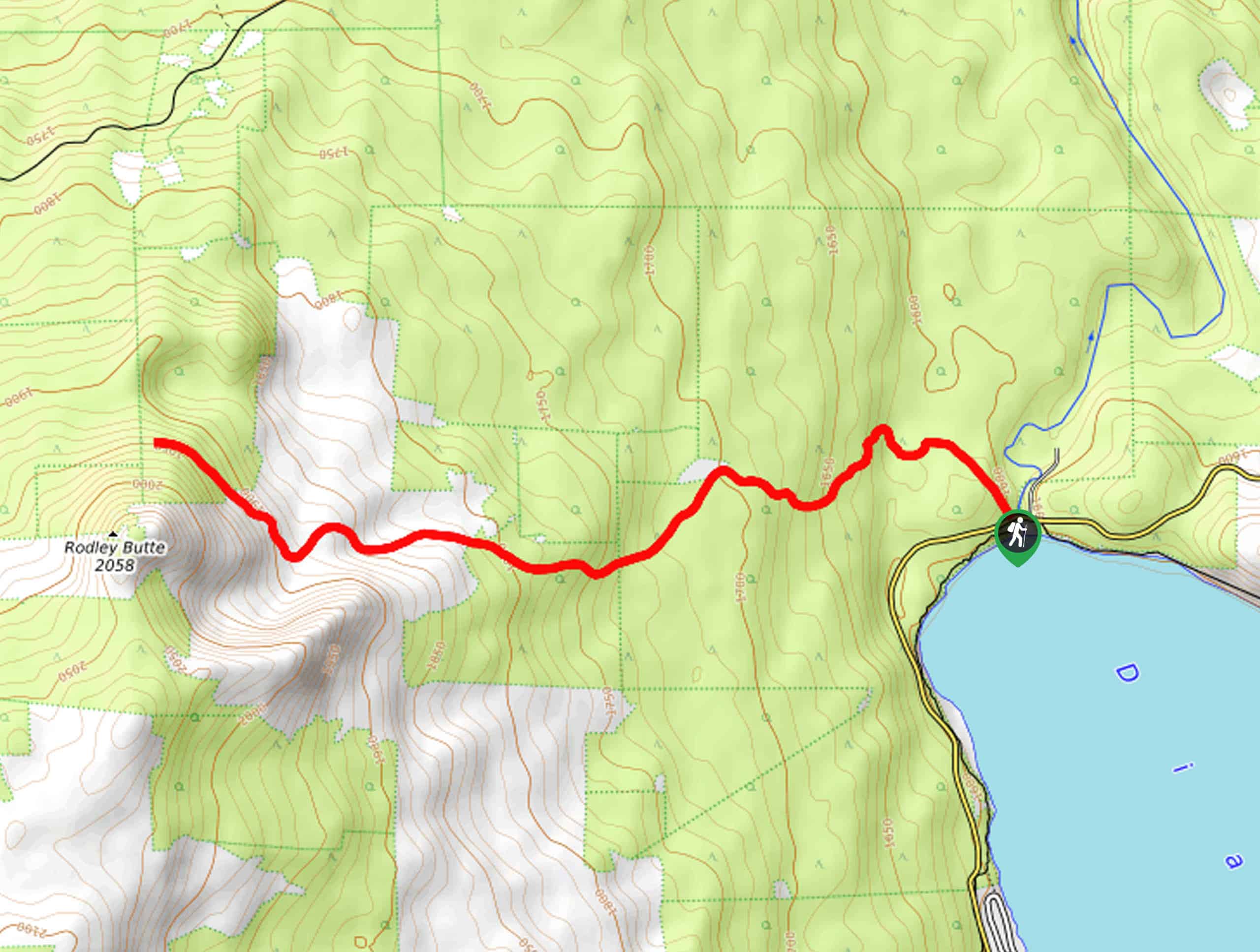
Rodley Butte Trail
Hiking the Rodley Butte Trail is a tough experience in Umpqua National Forest that will take you uphill through a…
North Umpqua Trail: Marsters Segment
The North Umpqua Trail: Marsters Segment is a short stretch of the much longer North Umpqua Trail that follows along…
Comments