
Rodley Butte Trail
View Photos
Rodley Butte Trail
Difficulty Rating:
Hiking the Rodley Butte Trail is a tough experience in Umpqua National Forest that will take you uphill through a dense forest along the slopes of Rodley Butte. Hikers should take note that much of this trail is littered with deadfall and overgrown brush, making navigation difficult; bring a GPS if you are concerned about staying on track.
Getting there
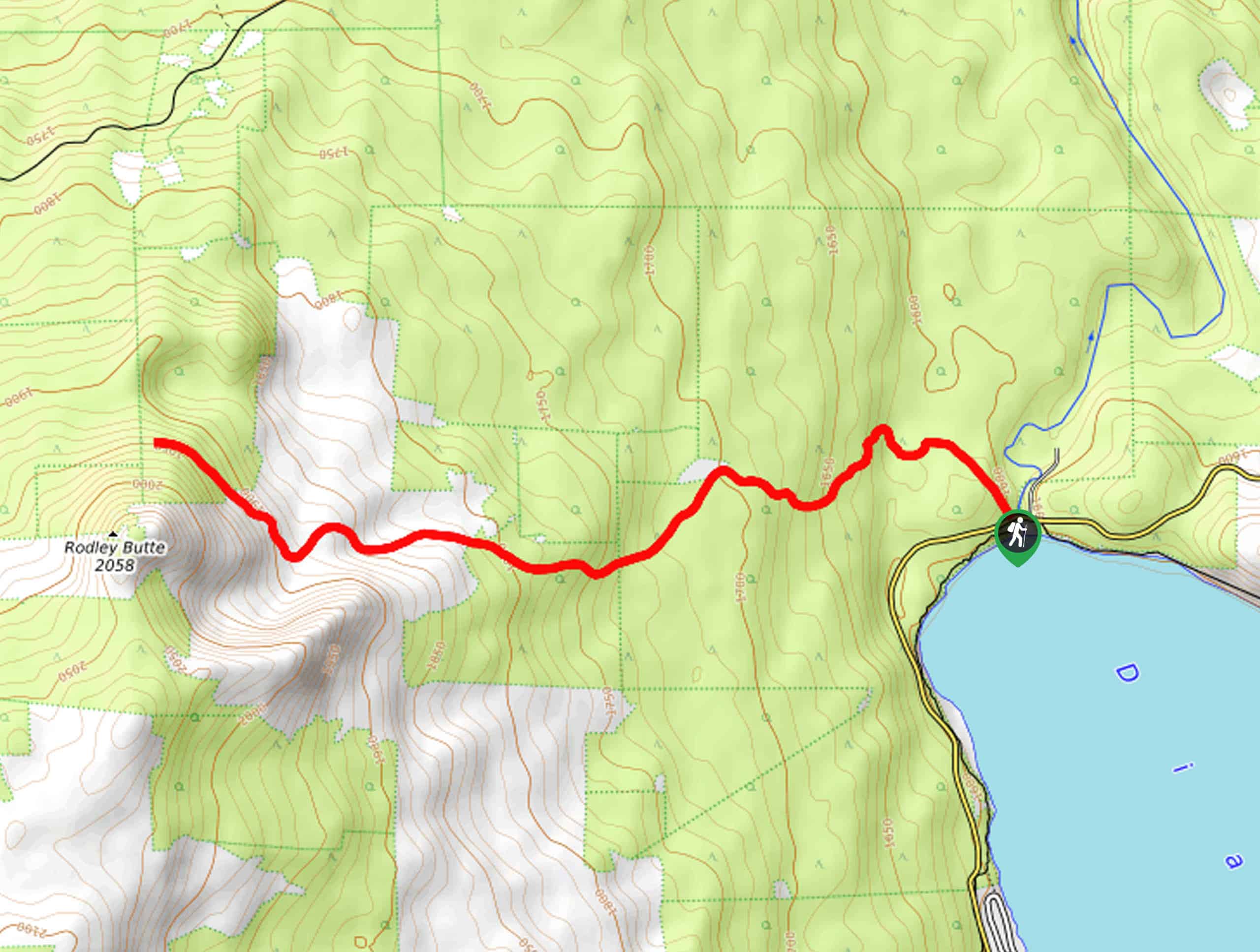
The starting point for the Rodley Butte Trail can be found at the trailhead on the north side of Diamond Lake, just west of NF-800.

About
| Backcountry Campground | No |
| When to do | Year-Round |
| Pets allowed | Yes - On Leash |
| Family friendly | No |
| Route Signage | Poor |
| Crowd Levels | Low |
| Route Type | Out and back |
Rodley Butte Trail
Elevation Graph
Weather
Rodley Butte Trail Description
If you are a glutton for punishment and find yourself in Umpqua National Forest, then the Rodley Butte Trail might just be the perfect route for you to explore. Overgrown paths, deadfall, and plenty of mosquitoes characterize this uphill climb set in the beautifully scenic Oregon landscape.
Setting out from the trailhead near Diamond Lake, you will enter into the forest and make your way northwest, following the path as it bends west and climbs more sharply uphill. If you are able to press on past the fallen trees and overgrown brush, the tree cover will eventually lessen on the steep approach to Rodley Butte.
Whenever you decide to turn back, you can follow the same route back down to the trailhead. If you want to experience an equally challenging – but easier to navigate – route in the area, check out our guide for the Mount Bailey Trail.
Similar hikes to the Rodley Butte Trail hike
Flat Rock Trail
The Flat Rock Trail is a beautifully scenic hiking route in Umpqua National Forest that leads through a stretch of…
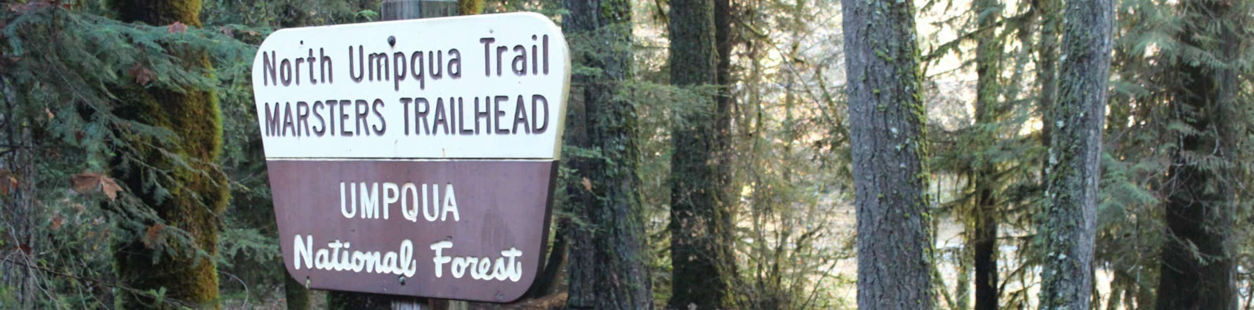
North Umpqua Trail: Marsters Segment
The North Umpqua Trail: Marsters Segment is a short stretch of the much longer North Umpqua Trail that follows along…
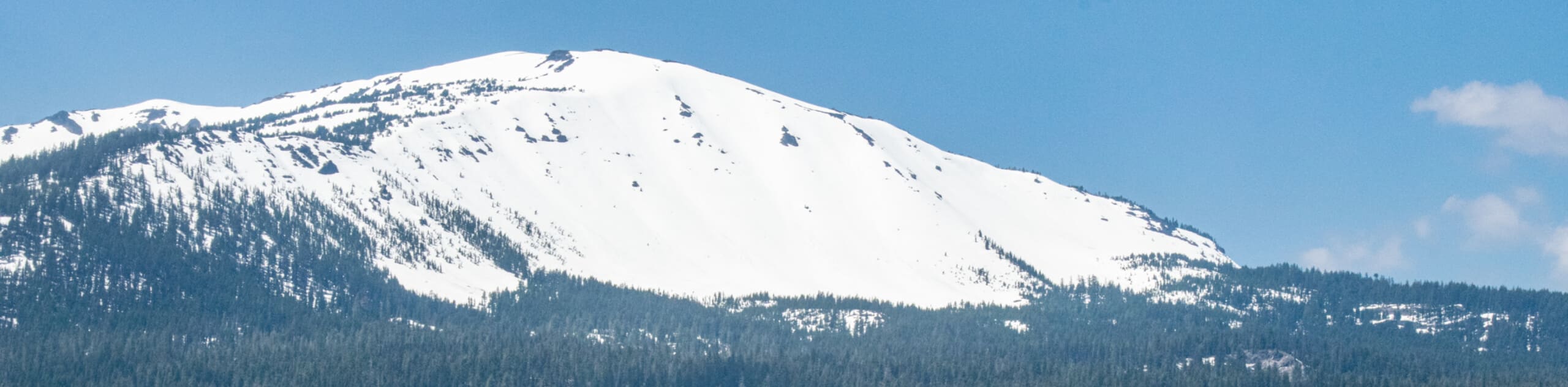
Mount Bailey via Three Lakes Trail
The Mount Bailey via Three Lakes Trail is a beautifully scenic, albeit challenging, hiking route in the North Umpqua National…
Comments