Wilder and Packard Lake hike
View Photos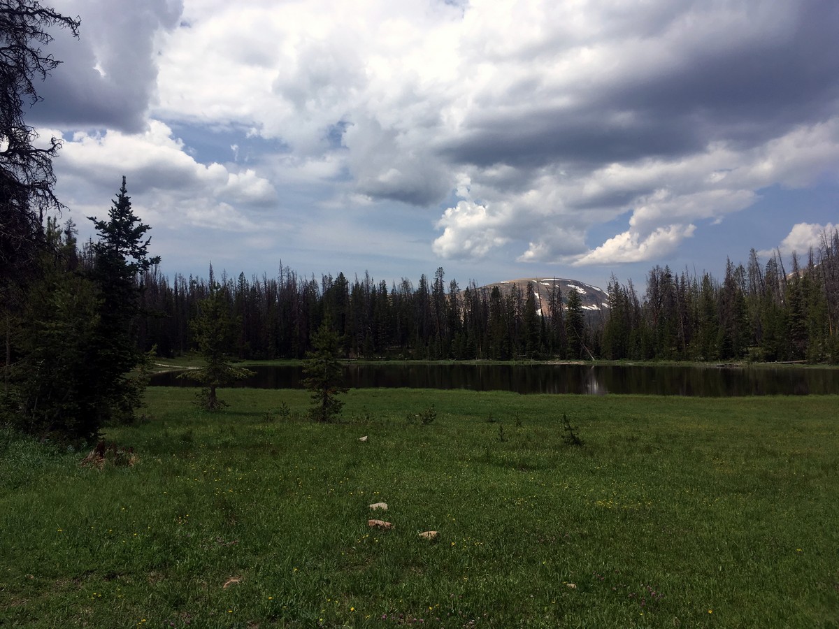
Wilder and Packard Lake hike
Difficulty Rating:
Beginning along the impressive 104.0mi Highline Trail, this hike - only 6.6mi - out to Wilder Lake then down to Packard Lake is a great way to spend a sunny afternoon. This hike is also a great way to get away from the crowds, or to do as an easy backpack.
Getting there
From Kamas head along Utah 150 for 34.0mi. After passing over Bald Mountain Pass and Pass Lake, look for the Highline Trailhead on your right, directly on the top of Hayden Pass. Park in the ample parking area there.

About
| When to do | June through September |
| Backcountry Campsites | Yes, numerous opportunities in the Uintas Wilderness. |
| Toilets | Yes, at trailhead |
| Family friendly | Yes |
| Route Signage | Average |
| Crowd Levels | Moderate |
| Route Type | Out and back |
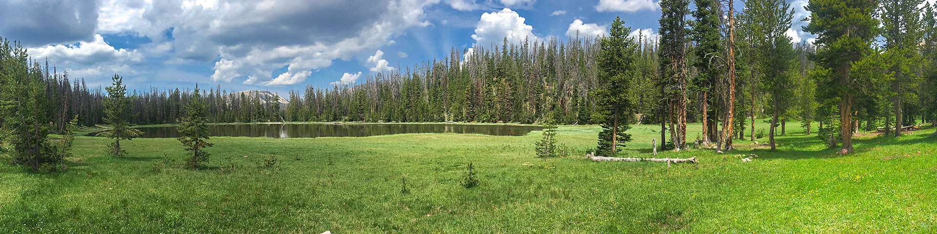
Wilder and Packard Lake
Elevation Graph
Weather
Route Description for Wilder and Packard Lake
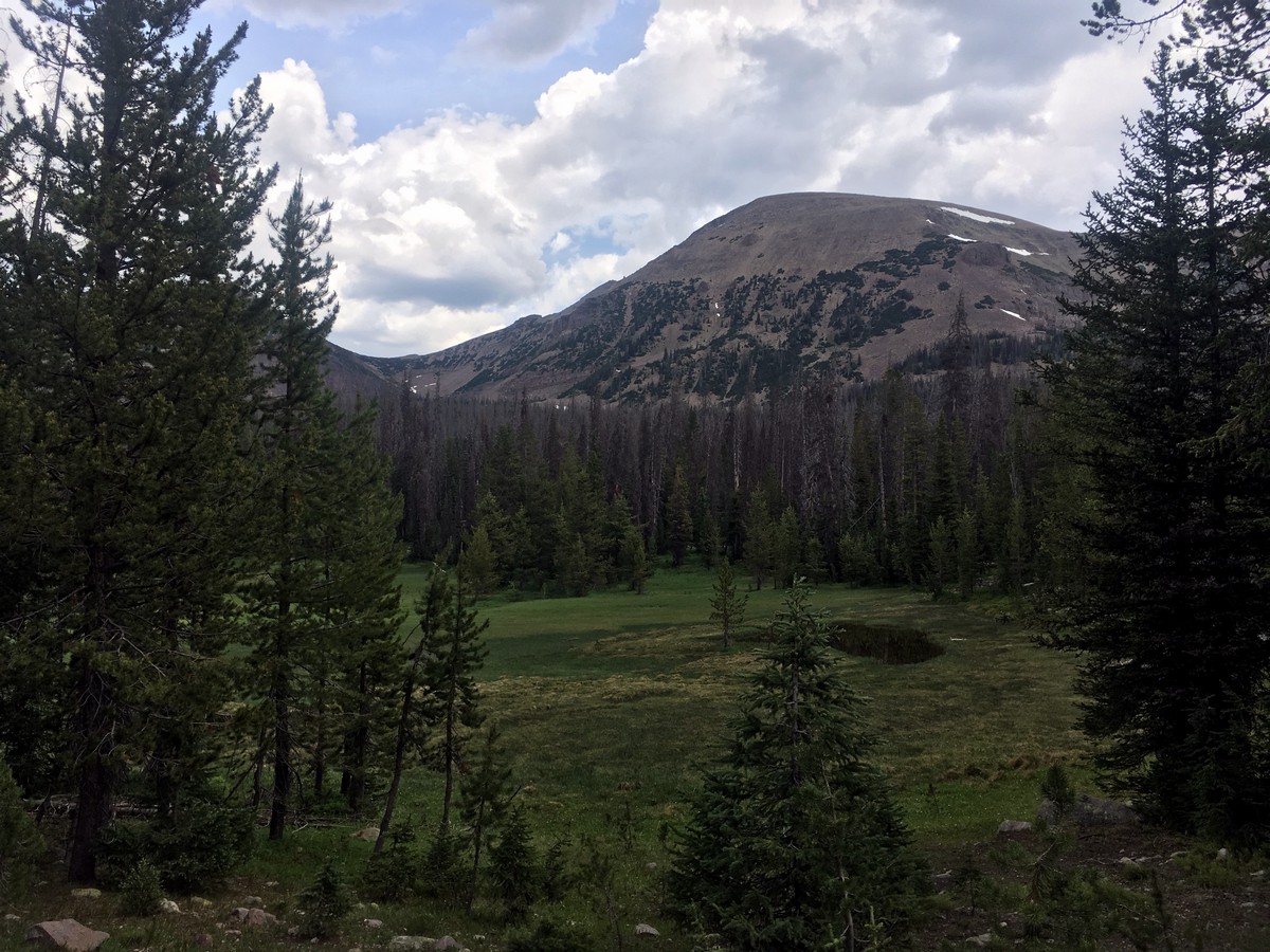
The Highline Trail is an impressive 104.0mi trek that crosses most of the High Uintas Wilderness. You will follow this trail for much of your hike, before taking a detour at approximately the 5.0mi mark.
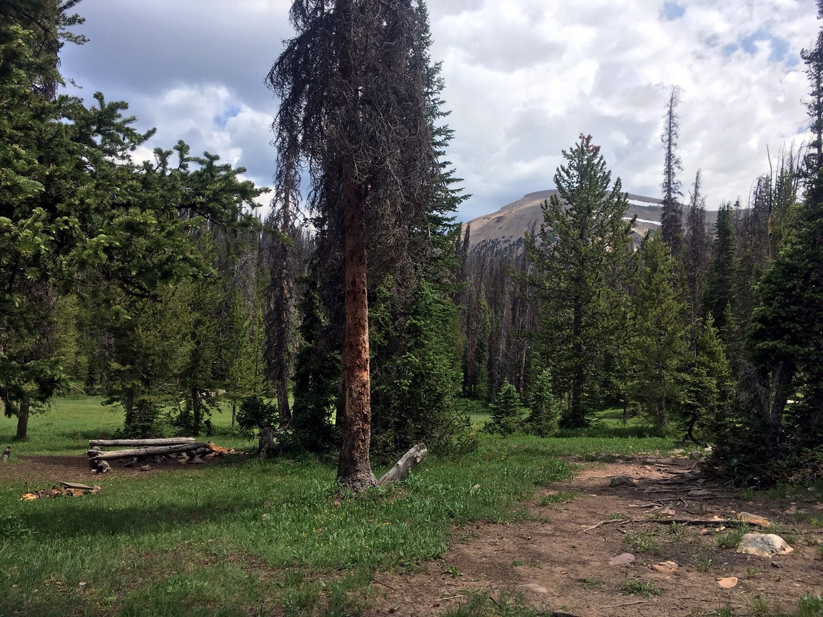
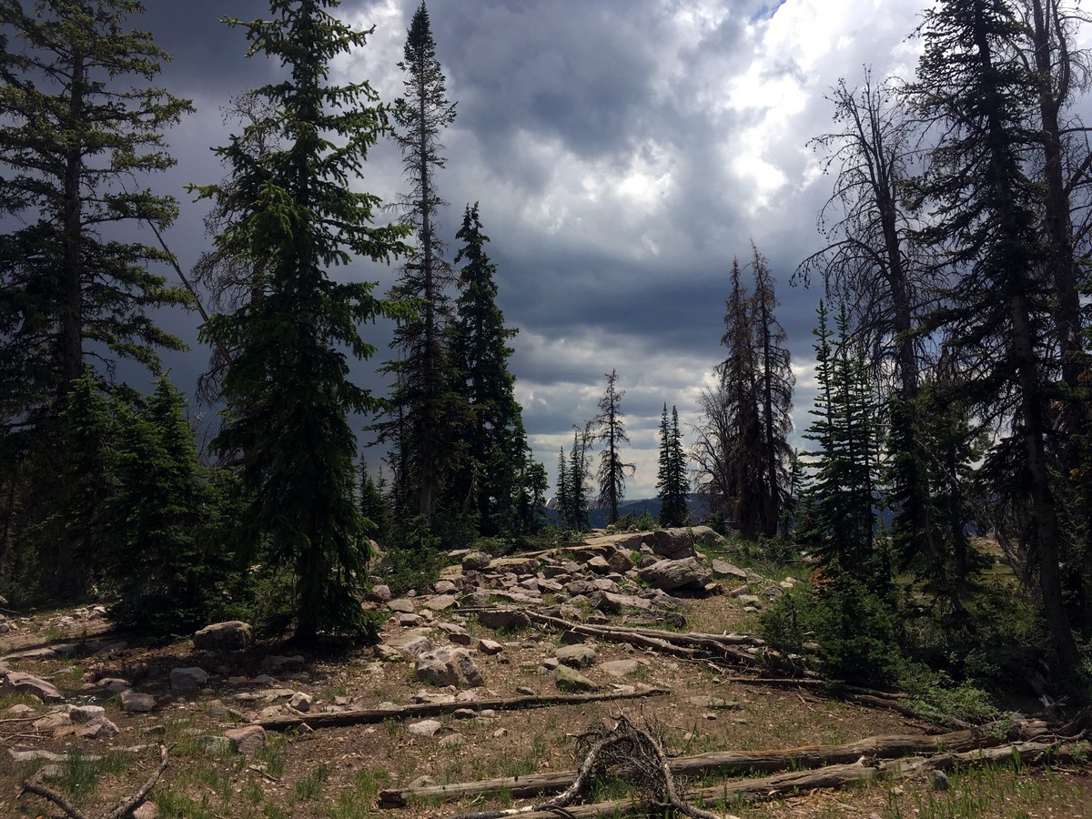
After beginning the trail near the restrooms, the trail will descend a short ways. Soon you will enter into the official Uintas Wilderness. A sign will outline the rules for camping in the backcountry here.
The entire trail gently undulates up and down, but never has any sustained climbing or descending. After a ways of hiking you will pass the turnoff for Packard Lake, where you will turn right and begin a steep descent.
You will eventually arrive at the impressive and boggy Wilder Lake. Stop here to enjoy the peace and the quiet. You can go back, or you can continue another short ways down to Wyman Lake and Packard Lake if you please.
Whatever path you take, the return will be the same way.
Find more great hikes in the Uinta Mountains:
Insider Hints
Due to the shorter distance, great scenery and mild elevation change, this makes for an incredible and easy backpacking trip.
Watch out for the bugs at the Lakes! The boggy nature of the area allows them to flourish, so be prepared.
A recreation pass is required to park in the National Forest, which can be purchased throughout the park; however, a National Parks Pass is also accepted.

Similar hikes to the Wilder and Packard Lake hike

Willard Creek Waterfall Trail
The Willard Creek Trail is an adventurous yet beautiful hike on the eastern edge of Willard, Utah. This trail is…

Skull Crack Trail
Despite the foreboding name, the Skull Crack Trail is a fantastic hike in the Uinta-Wasatch-Cache National Forest. This trail follows…

Box Elder Creek Trail
The Box Elder Creek Trail is a lovely hike northeast of Salt Lake City. This trail is used by both…
Stevie M 4 years ago
Fantastic trail! I just did this as a day hike.
SteffWilk 5 years ago
My friend recommended this hike to escape into the wilderness. And I really enjoyed it. At one point I just sat there and absorbed the silence of being the only one there. At least for some time at least :)
mountaincat 5 years ago
Lovely and secluded