Fehr Lake hike
View Photos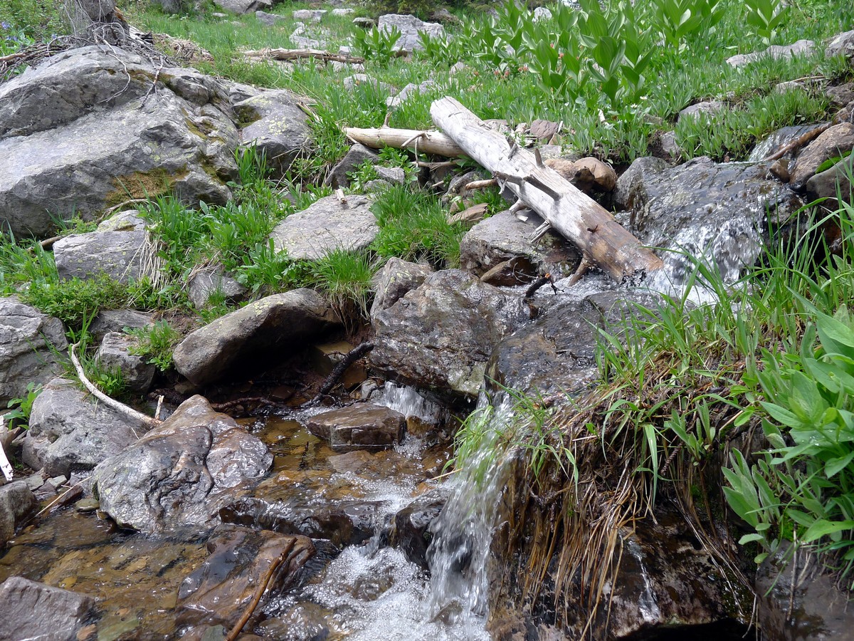
Fehr Lake hike
Difficulty Rating:
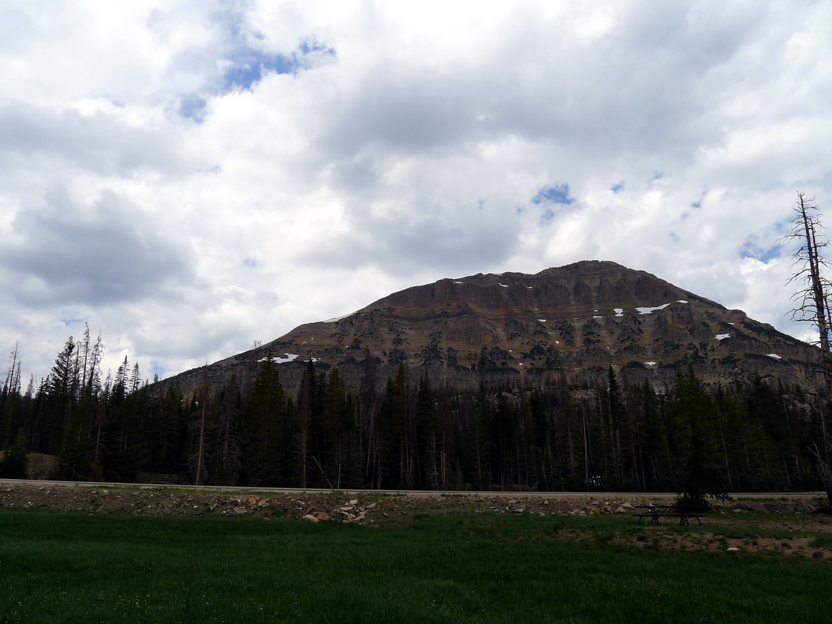
This little-known trail out to Fehr Lake is a good way to avoid the crowds at the other ‘front-country’ lakes by means of a short hike into the backcountry. That being said, the hike in is definitely short enough to schlep in a cooler and fishing rod! Just make sure you have a fishing license to go with your “soda-pops”.
Getting there
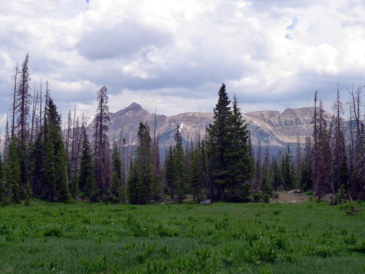
From Kamas head along Utah 150 for 30.5mi. After going over Bald Mountain Pass watch out for a small pullout on your right. This turnout is only signed going towards Kamas, so stay sharp. If you pass Moosehorn Lake you’ve gone to far.

About
| When to do | June through September |
| Backcountry Campsites | Many opportunities exist along this trail |
| Toilets | Yes, at trailhead |
| Family friendly | Yes |
| Route Signage | Average |
| Crowd Levels | Moderate |
| Route Type | Out and back |
Fehr Lake
Elevation Graph
Weather
Route Description for Fehr Lake
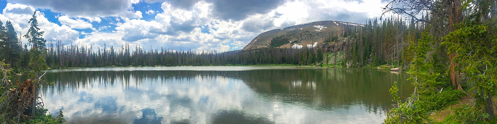
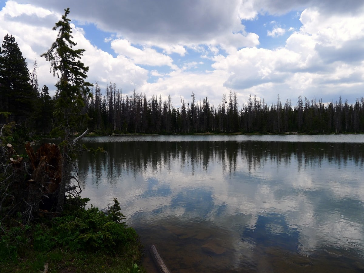
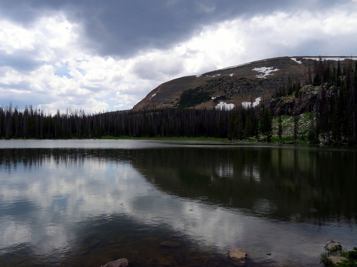
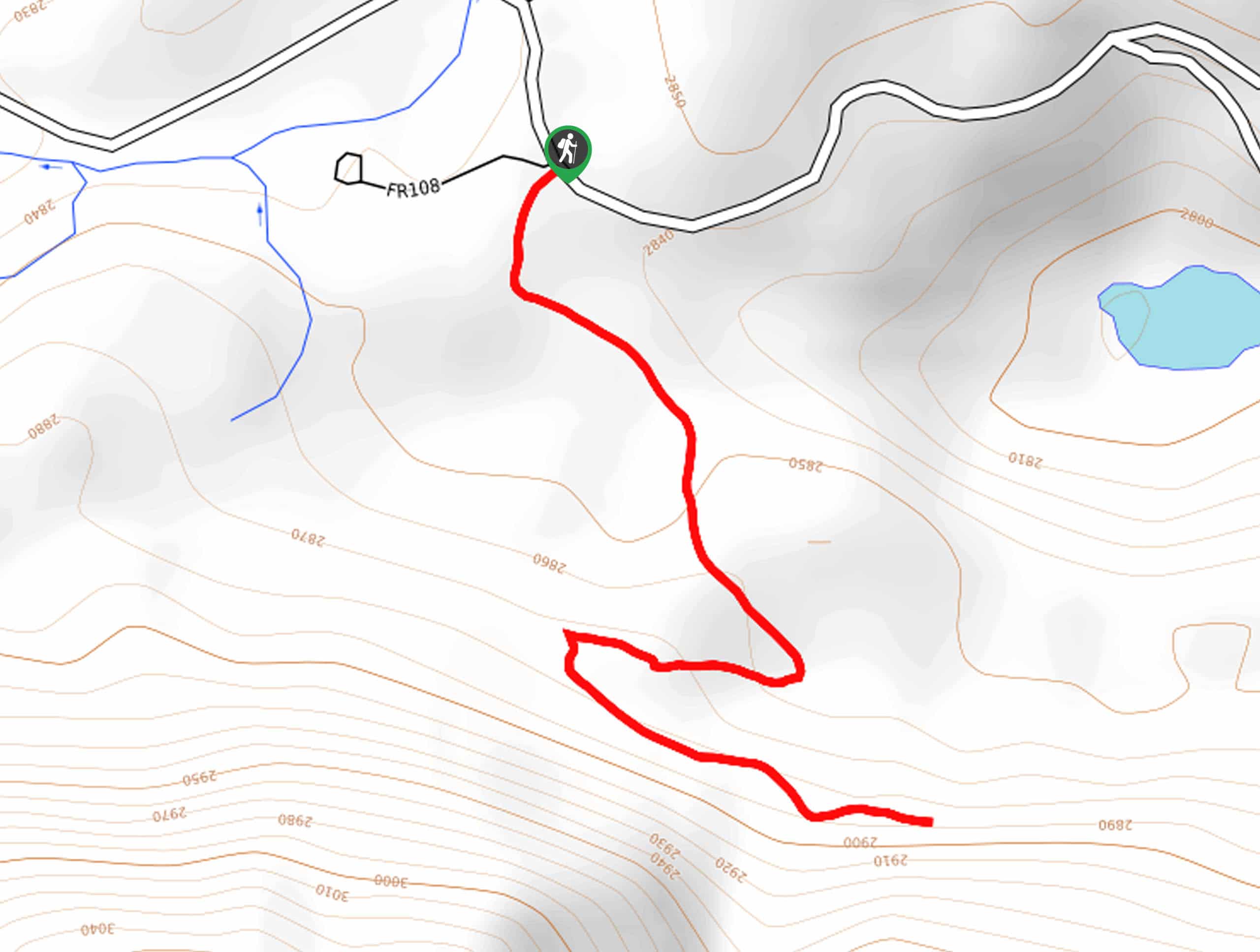
This is a very direct hike; there isn’t much to say! Take the trail leading out from the parking area. You’ll cross a few wooden bridges before descending a short ways down into the forest. After a few extremely short undulating climbs and descents, you will arrive at the west side of Fehr Lake.
This quaint and calm lake is usually devoid of crowds. Sitting around the lake and soaking in the beauty is definitely a worthwhile activity, and we found it so enjoyable that we just had to include this little hike on our list. After enjoying the stunning placid lake, return the way you came.
Find more great hikes in the Uinta Mountains:
Insider Hints
Being such a short hike, you can easily haul down lake gear with you. Make an afternoon of it!
The trail continues down to Shepard Lake, for those looking for a longer hike.
A recreation pass is required to park in the National Forest, which can be purchased throughout the park; however, a National Parks Pass is also accepted.

Similar hikes to the Fehr Lake hike
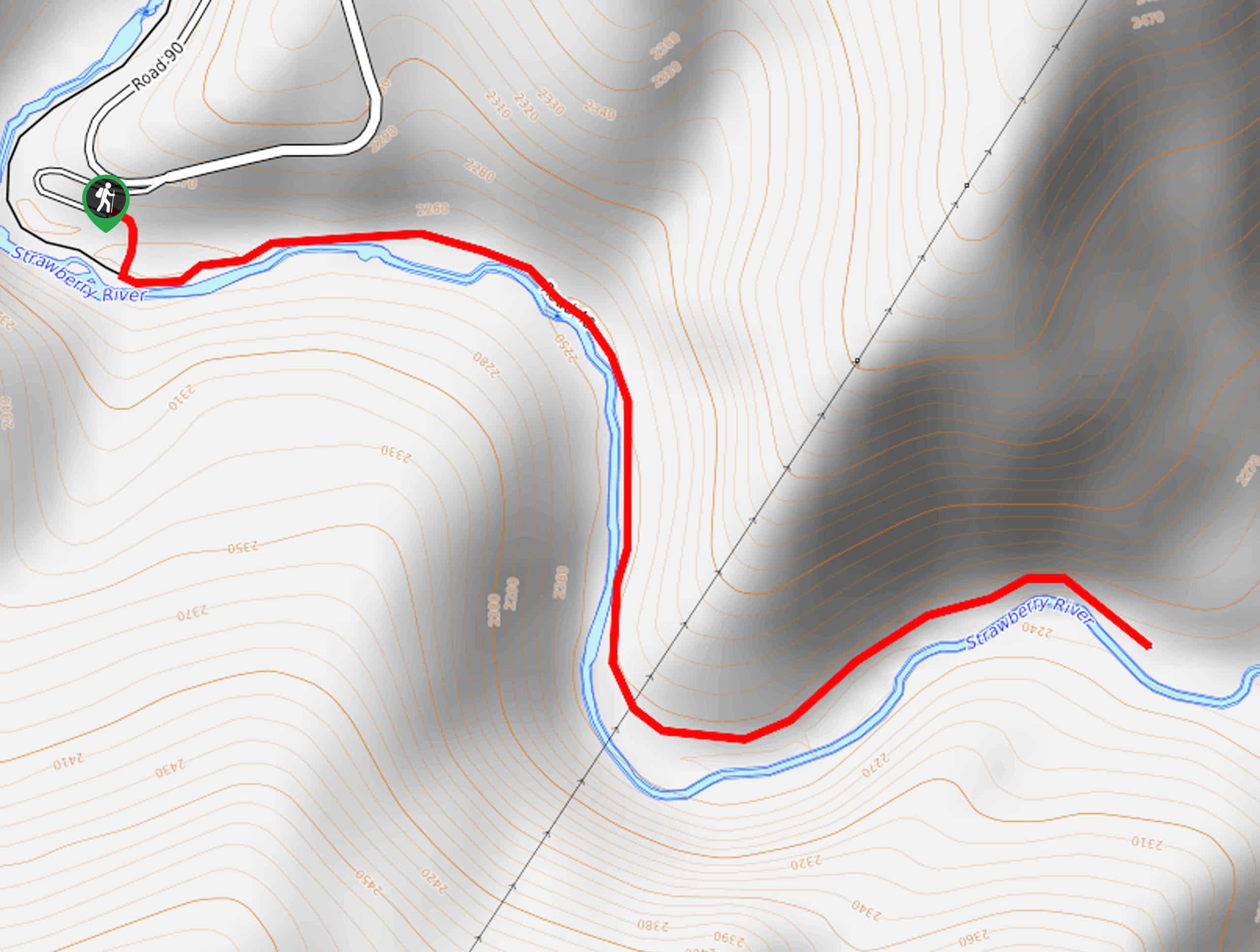
Strawberry River Trail
The Strawberry River Trail is a beautiful trail in the Western Uintas. This trail is family-friendly and great for kids…
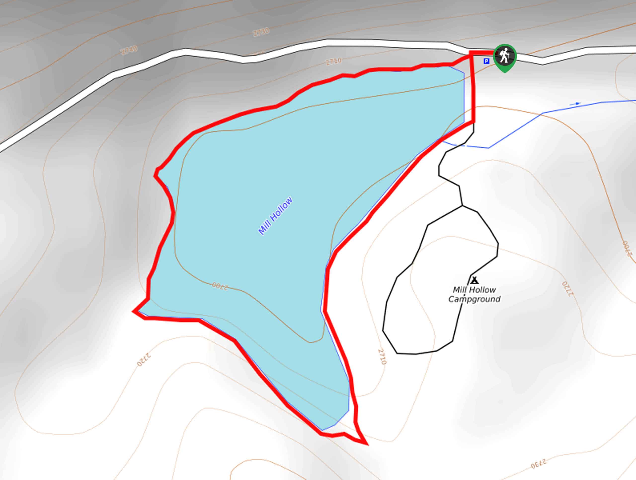
Mill Hollow Lake Loop
The Mill Hollow Lake Loop is a short and sweet hike in the Western Uintas. This trail is family-friendly and…
Broadhead Trail
The Broadhead Trail is a short and sweet hike in the Western Uintas. It should be noted that this trail…
Reverend Beau 3 years ago
We went to Fehr, then kept going to the next lake because the scenery was so beautiful. The Fehr hike is very easy, then it becomes moderats, as there is about a 400 to 500 foot descent to the next lake (Shepard). Be ready to encounter lots of dogs.. And the people we encountered didn’t take the leash requirement seriously. The dogs were all fine and well behaved, but if you have a phobia, stick with the Wasatch watershed hikes where dogs are prohibited.
mountaincat 5 years ago
That was maybe 6th lake we've walked to or around in Uintas, still very scenic