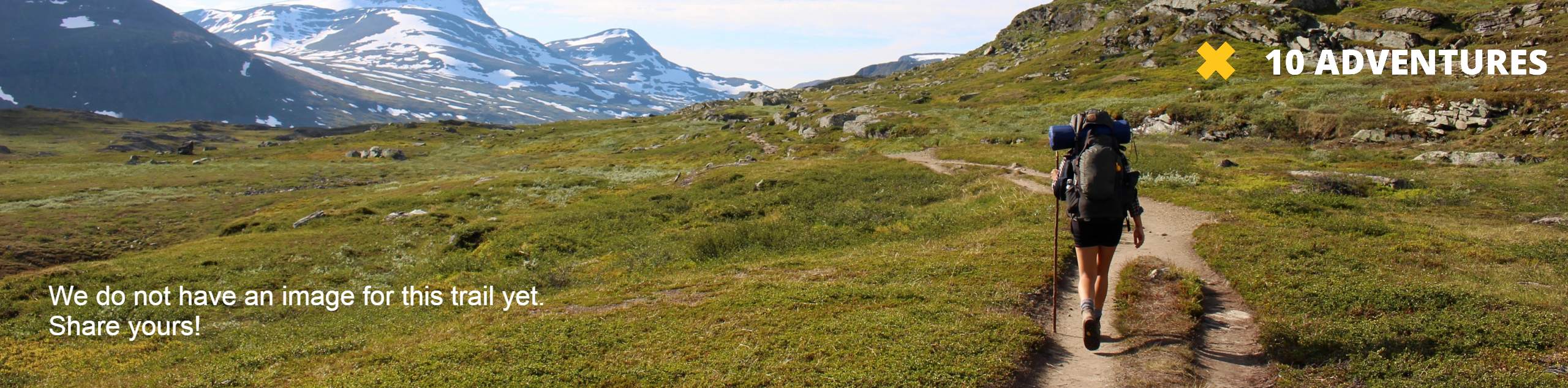
Broadhead Trail
View Photos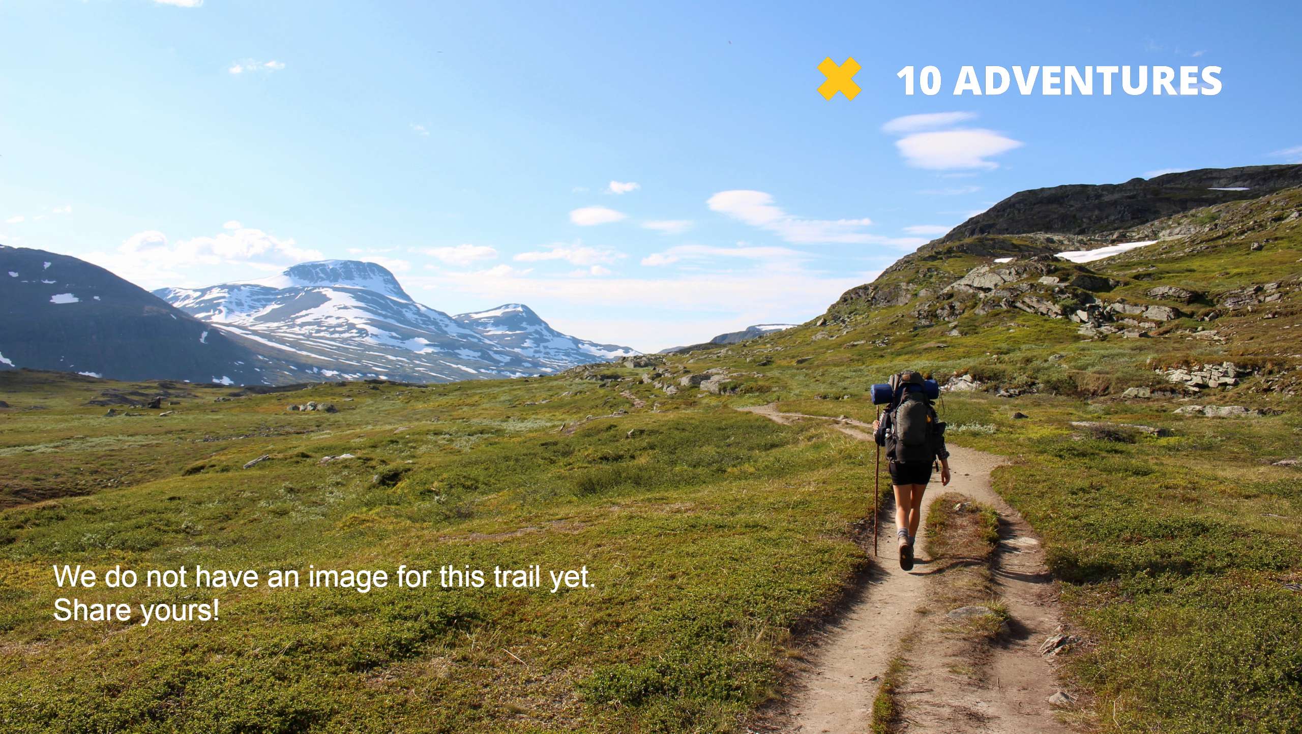
Broadhead Trail
Difficulty Rating:
The Broadhead Trail is a short and sweet hike in the Western Uintas. It should be noted that this trail does not provide access to Broadhead Lake. Dogs are welcome to join you on this trail but must be kept on leash at all times.
Getting there
This hike begins at the Murdock Basin ATV Trailhead on Murdock Canyon Road off of highway 150 east of Kamas, Utah.

About
| Backcountry Campground | No |
| When to do | March to October |
| Pets allowed | Yes - On Leash |
| Family friendly | Yes |
| Route Signage | Average |
| Crowd Levels | Low |
| Route Type | Out and back |
Broadhead Trail
Elevation Graph
Weather
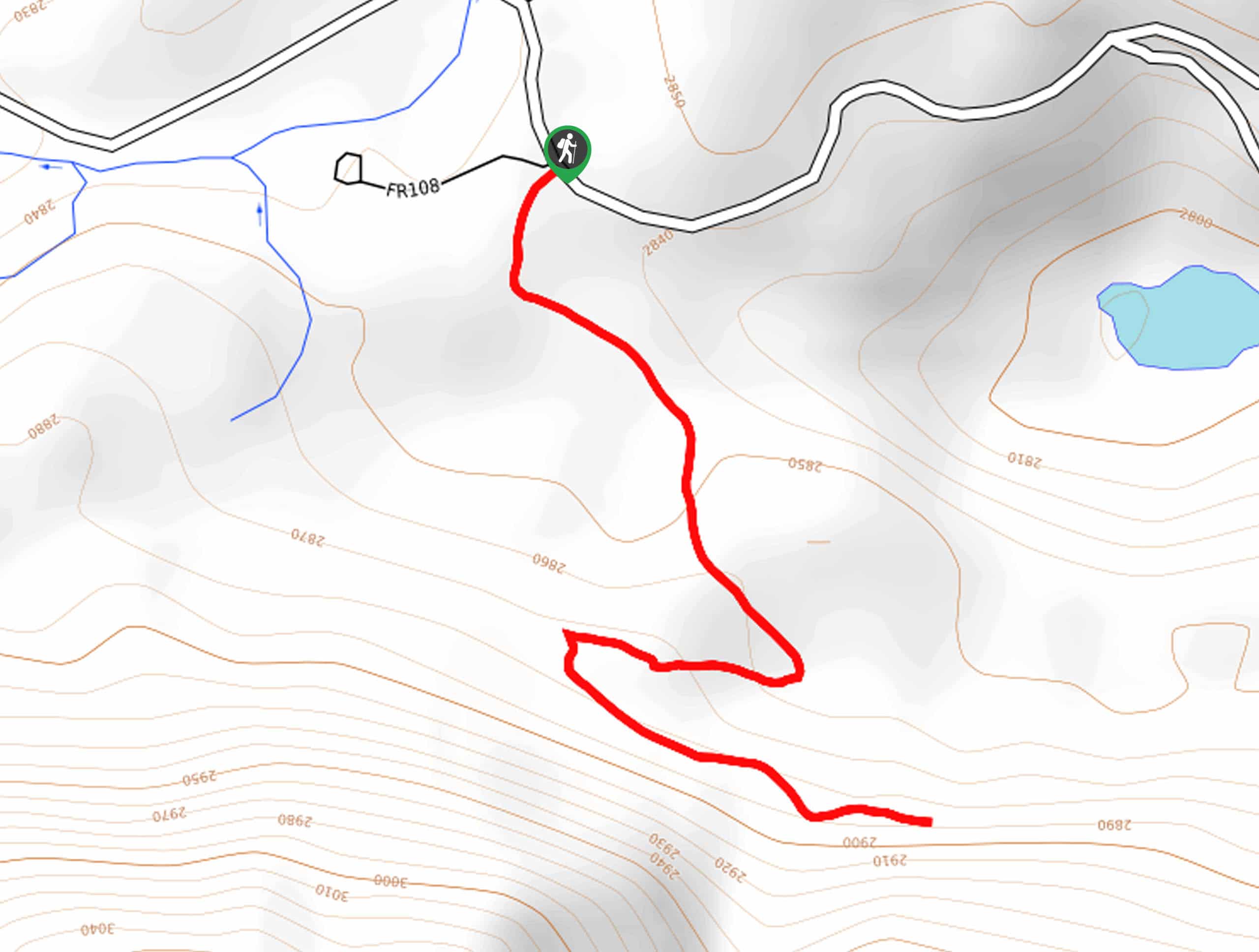
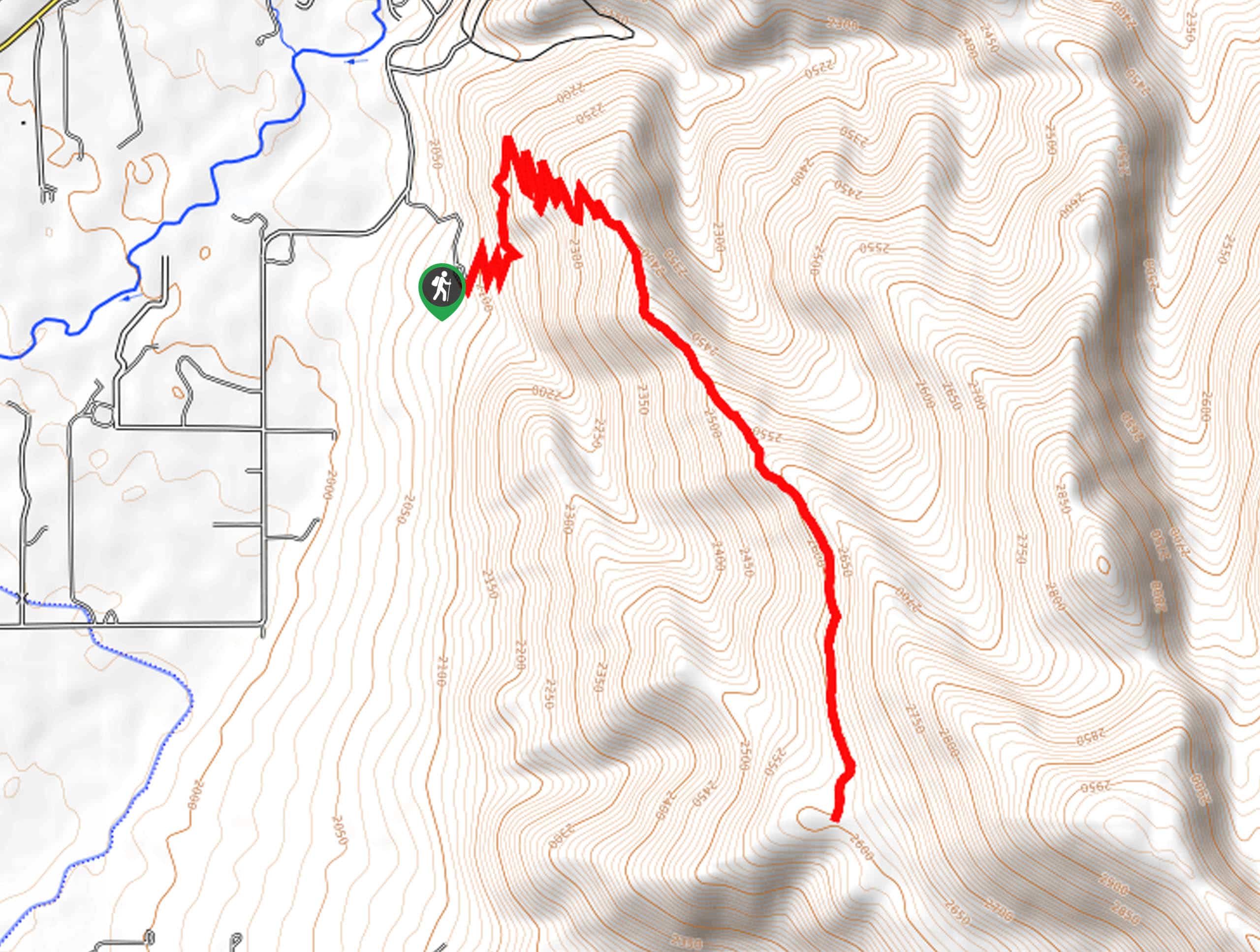
Broadhead Trail Description
The Broadhead Trail is a short hike in the western Uintas. Hikers and OHV/ATV drivers use the Broadhead Trail, so when hiking, be sure to remain aware of your surroundings and let folks on OHVs pass you by. This trail does not go to Broadhead Lake, but it is a great place to stretch your legs and take the dog for a walk. With lovely views the whole way, the Broadhead Trail is a great little route in the Utah wilderness.
Beginning at the Murdock Basin ATV Trailhead, follow the Canyon Overlook ATV Trail south, then take a left onto the Greenhorn ATV Trail. Follow the Greenhorn ATV trail east to the trail’s end, then simply turn around and retrace your footsteps back to the Trailhead where you began.
If you are looking for more to explore in the area, check out the Cataract Gorge Trail nearby.
Similar hikes to the Broadhead Trail hike

Skull Crack Trail
Despite the foreboding name, the Skull Crack Trail is a fantastic hike in the Uinta-Wasatch-Cache National Forest. This trail follows…
Pine Valley Trail
The Pine Valley Trail is a wonderful route just southeast of Kamas, Utah. This trail is a lovely hike in…
Oakley Ridge Trail
The Oakley Ridge Trail is a gorgeous route just east of Oakley, Utah. This trail is moderately challenging with steep…
Comments