Scow Lake Trail
View Photos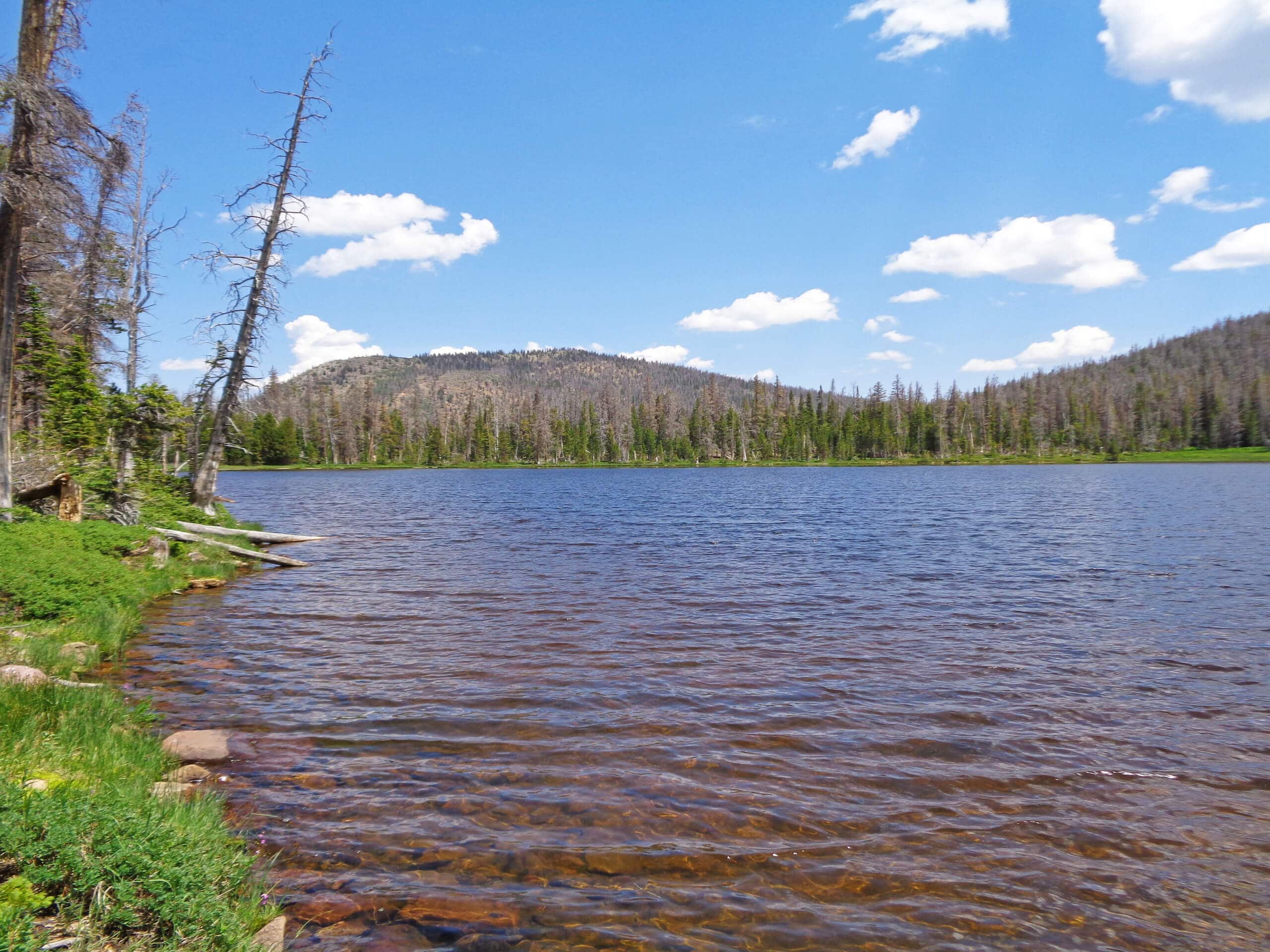
Scow Lake Trail
Difficulty Rating:
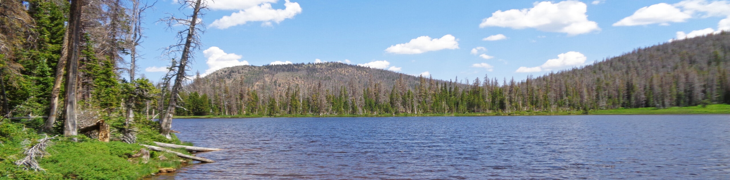
The Scow Lake Trail is a rugged and adventurous route in the western Uinta. This hike requires route-finding skills and hikers should arrive prepared with a map and compass or GPS. The Scow Lake Trail winds through an old burn area that is now coming back to life with young trees and incredible wildflowers.
Getting there
From Highway 150, turn east onto Forest Road 058/Mill Creek Road, just north of the East Fork Campground. Follow FR 058 for 1.7mi then turn right onto Forest Road 059. Follow FR059 past the turn off for the East Fork Bear River Campground to Boundary Creek. Park along the road at Boundary Creek. The Scow Lake Trail begins here.

About
| Backcountry Campground | Primitive Camping at Scow Lake |
| When to do | May to September |
| Pets allowed | Yes - On Leash |
| Family friendly | No |
| Route Signage | Poor |
| Crowd Levels | Low |
| Route Type | Out and back |
Scow Lake Trail
Elevation Graph
Weather
Scow Lake Trail Description
The Scow Lake Trail is a fantastic route in the western Uintas. This trail is challenging and does require route-finding skills. During a wildfire in 2002, this trail sustained a lot of damage and the trail has not been maintained since then. Hikers should arrive prepared with good route-finding skills and an adventurous attitude. Since the fire, this trail has burst back with new life. Check out this route to see the new forest growth and incredible wildflowers that come after a burn.
To hike the Scow Lake Trail, begin at the trailhead and follow the path as it heads south along Boundary Creek to Scow Lake.
Enjoy a rest at Scow Lake and take a moment to soak in the incredible views. When you are ready to head home, simply retrace your steps back to the trailhead, where you began.
Similar hikes to the Scow Lake Trail hike

Willard Creek Waterfall Trail
The Willard Creek Trail is an adventurous yet beautiful hike on the eastern edge of Willard, Utah. This trail is…

Skull Crack Trail
Despite the foreboding name, the Skull Crack Trail is a fantastic hike in the Uinta-Wasatch-Cache National Forest. This trail follows…

Box Elder Creek Trail
The Box Elder Creek Trail is a lovely hike northeast of Salt Lake City. This trail is used by both…
Comments